
1989 Map of Easton
USGS Topo · Published 1989About this map
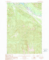
Easton serves as the focal point for this 1989 provisional survey, situated where the Yakima River meets the recreation-rich shores of Lake Easton. The landscape is dominated by the steep rises of Easton Ridge and Cabin Mountain, marking a transition between the river valley and the high-elevation terrain of the Wenatchee National Forest. This era shows the conversion of industrial routes into recreational assets, most notably through the Iron Horse State Pioneer Trail Park and an Old Railroad Grade that winds through the northern slopes.
Find a feature on this map
26 named features on this map. Tap any name to fly to it.
Don’t see what you’re looking for? This feature index may not catch every label — zoom into the map to look around manually.
Map Details
Editions of this 1989 Easton Map
2 editions found
Other maps of this area

1901 · Snoqualmie Pass
USGS Topo · 1:125,000

1903 · Snoqualmie
USGS Topo · 1:125,000

1957 · Wenatchee
USGS Topo · 1:250,000

1961 · Snoqualmie Pass
USGS Topo · 1:62,500

1961 · Easton
USGS Topo · 1:62,500

1961 · Kachess Lake
USGS Topo · 1:62,500

1962 · Lester
USGS Topo · 1:62,500

1975 · Snoqualmie Pass
USGS Topo · 1:100,000
1989 · Raven Roost
USGS Topo · 1:24,000
1989 · Ronald
USGS Topo · 1:24,000