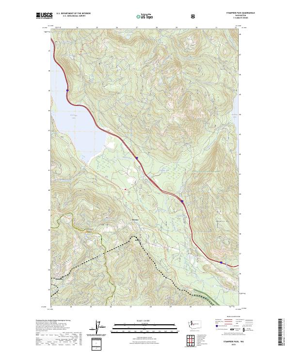
2023 Map of Stampede Pass
USGS Topo · Published 2023About this map
Stampede Pass serves as a critical mountain crossing along the boundary of Kittitas and King counties, where the modern transit corridor follows the path of early rail and wagon routes. The rugged terrain is defined by Keechelus Ridge and Amabilis Mtn, which frame the headwaters of the Yakima River. Small settlements such as Whittier, Martin, and Stampede are scattered along the historical railroad alignment, illustrating the importance of this passage for cross-Cascades transportation. Recreation and conservation dominate the landscape today, as seen in the intersection of the Pacific Crest National Scenic Trl and the John Wayne Trl. Significant water bodies including Keechelus Lake and the western edge of Kachess Lake flank the pass, while smaller alpine features like Lizard Lake and Rock Rabbit Lakes dot the higher elevations of the Wenatchee National Forest.
Find a feature on this map
47 named features on this map. Tap any name to fly to it.
Don’t see what you’re looking for? This feature index may not catch every label — zoom into the map to look around manually.
Map Details
Editions of this 2023 Stampede Pass Map
This is the sole edition of this map. No revisions or reprints were ever made.
Other maps of this area

1901 · Snoqualmie Pass
USGS Topo · 1:125,000

1903 · Snoqualmie
USGS Topo · 1:125,000

1957 · Wenatchee
USGS Topo · 1:250,000

1961 · Snoqualmie Pass
USGS Topo · 1:62,500

1961 · Easton
USGS Topo · 1:62,500

1961 · Kachess Lake
USGS Topo · 1:62,500

1962 · Lester
USGS Topo · 1:62,500

1975 · Snoqualmie Pass
USGS Topo · 1:100,000

1989 · Easton
USGS Topo · 1:24,000
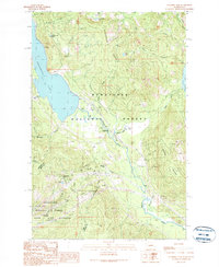
1989 · Stampede Pass
USGS Topo · 1:24,000