2000s (21st Century) Maps of Conconully, Washington
Explore 11 historic maps of Conconully from the 2000s (21st Century). These maps offer a rare glimpse into what life looked like during the 2000s — showing old roads, neighborhoods, homes, and landmarks that have changed or disappeared over time.
Whether you're researching your family's past, planning a metal detecting trip, or studying how Conconully's landscape evolved across the 2000s, these high-resolution maps are a powerful tool for exploring the history of this region.
- Focus on a specific era: All maps on this page are from the 2000s, giving you a focused view of this time period.
- See what’s changed: Compare century-old streets, trails, and buildings to today's modern landscape using overlays and satellite layers.
- Research with precision: Use these maps for genealogy, historical research, land use analysis, or educational projects.
- View, download, or print: Maps are fully viewable online in high resolution, and can be downloaded or printed for your own records.
Start exploring Conconully's history through authentic maps from the 2000s. This is your window into the past.
Conconully, WA maps
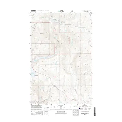
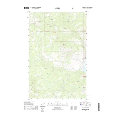
(11)- 2001 Map of Conconully East, 2004 Print
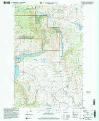 2001 Conconully East2004 Print · USGSOkanogan County at the turn of the century reveals a landscape of high-country forests and historic mining claims. Trace the legacy of early settlers at Graveyard Flat or locate old operations like the Peacock Mine and prospects near Silver Hill.
 - 2011 Map of Conconully West, 2011 Print
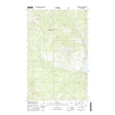
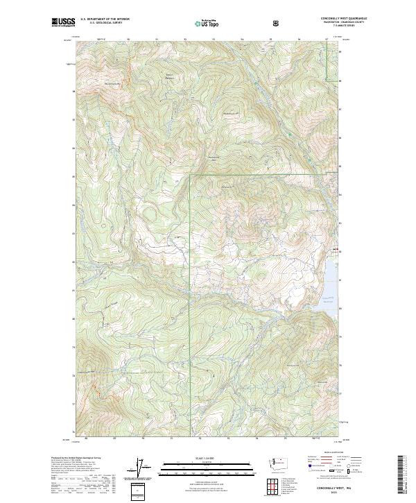
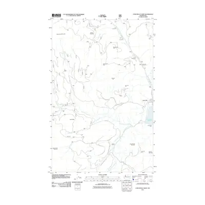 2011 Conconully West2011 Print · USGSCovers Conconully, including Okanogan County, United States, and other nearby areas
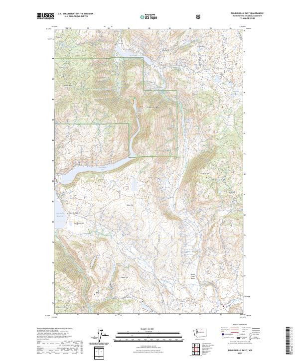
 - 2011 Map of Conconully East, 2011 Print
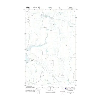 2011 Conconully East2011 Print · USGSCovers Conconully, including Okanogan County, United States, and other nearby areas
 - 2014 Map of Conconully West, 2014 Print
 2014 Conconully West2014 Print · USGSCovers Conconully, including Okanogan County, United States, and other nearby areas
 - 2014 Map of Conconully East, 2014 Print
 2014 Conconully East2014 Print · USGSCovers Conconully, including Okanogan County, United States, and other nearby areas
 - 2017 Map of Conconully East, 2017 Print
 2017 Conconully East2017 Print · USGSCovers Conconully, including Okanogan County, United States, and other nearby areas
 - 2017 Map of Conconully West, 2017 Print
 2017 Conconully West2017 Print · USGSCovers Conconully, including Okanogan County, United States, and other nearby areas
 - 2020 Map of Conconully East, 2020 Print
 2020 Conconully East2020 Print · USGSCovers Conconully, including Okanogan County, United States, and other nearby areas
 - 2020 Map of Conconully West, 2020 Print
 2020 Conconully West2020 Print · USGSCovers Conconully, including Okanogan County, United States, and other nearby areas
 - 2023 Map of Conconully East, 2023 Print
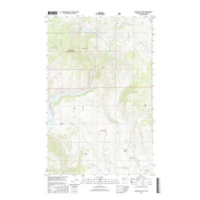
 2023 Conconully East2023 Print · USGSOkanogan County’s rugged highland settlements and water networks come into focus here in the 2020s. Genealogists can trace burial sites at Conconully Cem and Ruby Cem or explore historic mountain landmarks like Dunn Mtn and Silver Hill.
 - 2023 Map of Conconully West, 2023 Print
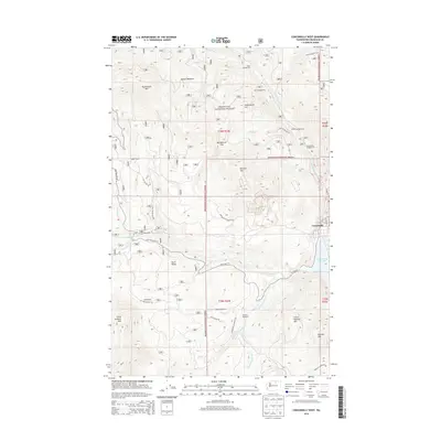
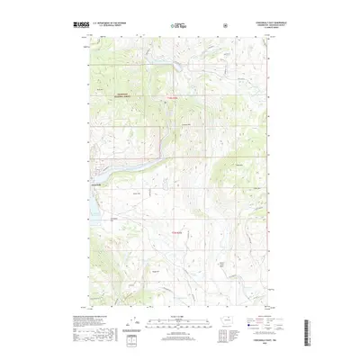
 2023 Conconully West2023 Print · USGSOkanogan County’s rugged interior is documented here in the early twenty-first century, showing the intricate drainages feeding the Conconully Reservoir. Researchers and hikers can trace high-country routes like the Tunnel Trl past Muckamuck Mtn and Mineral Hill.
End of results
Showing maps 1-11 of 11
Top cities near Conconully
Frequently asked questions
- What are the different types of historical maps available for Conconully?
- What is the oldest map of Conconully?
- Where can I purchase historical maps of Conconully for my home or office?
- Where can I download high-res historical maps of Conconully?
- Are there historical topographic maps available for Conconully?
- Is there historical aerial imagery available for Conconully?
- Where are historical maps of Conconully sourced from?