2010s Maps of Startup, Washington
Explore 12 historic maps of Startup from the 2010s. These maps offer a rare glimpse into what life looked like during the 2010s — showing old roads, neighborhoods, homes, and landmarks that have changed or disappeared over time.
Whether you're researching your family's past, planning a metal detecting trip, or studying how Startup's landscape evolved across the 2010s, these high-resolution maps are a powerful tool for exploring the history of this region.
- Focus on a specific era: All maps on this page are from the 2010s, giving you a focused view of this time period.
- See what’s changed: Compare century-old streets, trails, and buildings to today's modern landscape using overlays and satellite layers.
- Research with precision: Use these maps for genealogy, historical research, land use analysis, or educational projects.
- View, download, or print: Maps are fully viewable online in high resolution, and can be downloaded or printed for your own records.
Start exploring Startup's history through authentic maps from the 2010s. This is your window into the past.
Startup, WA maps
(12)- 2011 Map of Wallace Lake, 2011 Print
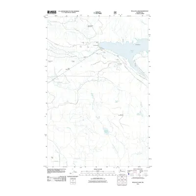 2011 Wallace Lake2011 Print · USGSThe Sultan Basin high country is captured here during the early twenty-first century, showing the critical watershed infrastructure and forest access of Snohomish County. Trace the historic Lockwood Mine, find the Blue Mountain Lookout, or locate Olney Falls.
 - 2011 Map of Gold Bar, 2011 Print
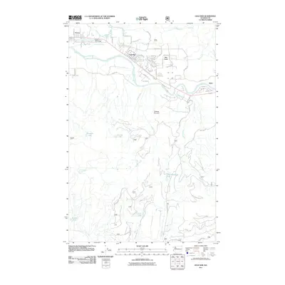 2011 Gold Bar2011 Print · USGSThe river valleys of Snohomish County are documented here in the early twenty-first century as the corridor from Startup to Reiter matured. Researchers can trace local landmarks like Camp Huston, the Wallace River Bridge, and several alpine lakes including Little Cavanaugh Lake.
 - 2011 Map of Lake Chaplain, 2011 Print
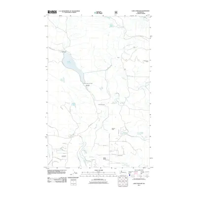 2011 Lake Chaplain2011 Print · USGSSnohomish County is captured here in the early twenty-first century, showcasing the vital water infrastructure surrounding Lake Chaplain. Researchers can trace the path of the Sultan River, locate the Everett Water Work Intake, and explore the settlement of North Sultan.
 - 2011 Map of Sultan, 2011 Print
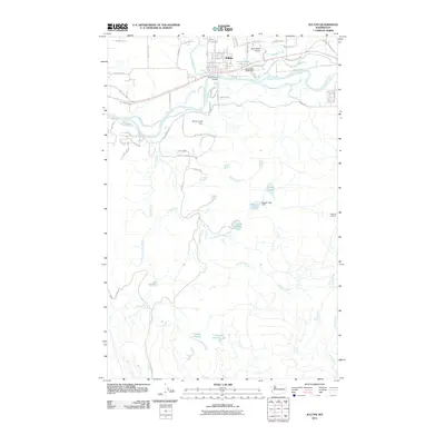 2011 Sultan2011 Print · USGSThe community of Sultan is captured here just after the turn of the millennium, where the river valleys meet the rising mountain foothills. Researchers can trace the layout of local neighborhoods and find landmarks like Sky Harbor Airport, the Sultan Mill Pond, and Haystack Lookout.
 - 2014 Map of Gold Bar, 2014 Print
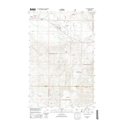 2014 Gold Bar2014 Print · USGSThe Skykomish River valley comes alive in the mid-2010s, showing the vital rail and road links connecting the riverside towns of Gold Bar and Startup. Researchers can trace the path of the BNSF Railway or locate remote high-country features like Airplane Lake and Haystack Mtn.
 - 2014 Map of Lake Chaplain, 2014 Print
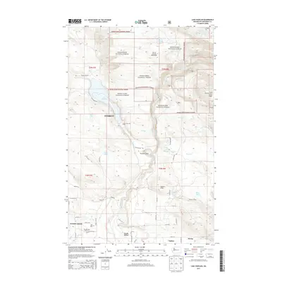 2014 Lake Chaplain2014 Print · USGSThe Sultan River valley in Snohomish County is captured here in the early twenty-first century, showing the critical infrastructure of the City of Everett Watershed. Researchers can locate the Blue Mountain Lookout, the grounds of Rain Spirit Farm, and the distinct paths of Monroe Camp Rd.
 - 2014 Map of Wallace Lake, 2014 Print
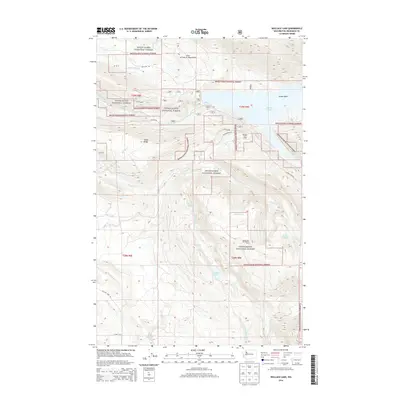 2014 Wallace Lake2014 Print · USGSThe Cascade foothills east of Everett are shown here in the mid-2010s, centering on the high-elevation Sultan Basin. Researchers can trace the protected boundaries of the City of Everett Watershed and locate mountain landmarks like Olney Pass and Wallace Lake.
 - 2014 Map of Sultan, 2014 Print
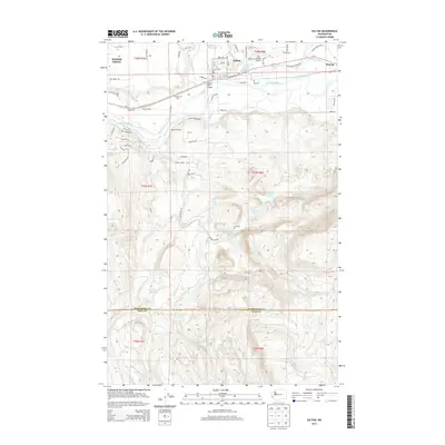 2014 Sultan2014 Print · USGSThe Sultan River valley and the Snohomish-King county line come into focus during the early twenty-first century. Local historians can trace the footprints of Hofstra Dairy, the Sultan Mill Pond, and the Sultan River Bridge.
 - 2017 Map of Sultan, 2017 Print
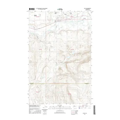 2017 Sultan2017 Print · USGSThe confluence of the Skykomish and Wallace Rivers defines this Washington river valley in the 2010s. Researchers can trace the layout of Sultan and Startup or locate remote high-altitude features like Drunken Charlie Lake and Lake Dorothy.
 - 2017 Map of Lake Chaplain, 2017 Print
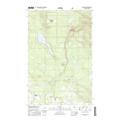 2017 Lake Chaplain2017 Print · USGSThe wooded ridges of Snohomish County are captured here in the late 2010s, showing the intersection of industrial timberlands and residential growth. Genealogists and local historians can trace the outskirts of North Sultan and name-bearing landmarks like Sultan Ridge, Lake Chaplain, and Woods Creek.
 - 2017 Map of Wallace Lake, 2017 Print
 2017 Wallace Lake2017 Print · USGSThe foothills of the Cascades meet the Skykomish Valley in this 2017 survey of Snohomish County's timberlands and watersheds. Researchers can trace the drainage of the Sultan River from the Spada Lake reservoir down to the valley settlement of Startup.
 - 2017 Map of Gold Bar, 2017 Print
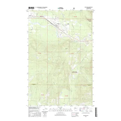 2017 Gold Bar2017 Print · USGSThe foothills of the Cascades come into focus in 2017, where the Skykomish and Wallace rivers meet. Genealogists and hikers can trace the street grids of Gold Bar, Startup, and May Creek or locate remote high-country water like Airplane Lake and Winter Lake.
End of results
Showing maps 1-12 of 12
Top cities near Startup
- Everett historical maps
- Sammamish historical maps
- Monroe historical maps
- Duvall historical maps
- Woods Creek historical maps
- Sultan historical maps
See more
Frequently asked questions
- What are the different types of historical maps available for Startup?
- What is the oldest map of Startup?
- Where can I purchase historical maps of Startup for my home or office?
- Where can I download high-res historical maps of Startup?
- Are there historical topographic maps available for Startup?
- Is there historical aerial imagery available for Startup?
- Where are historical maps of Startup sourced from?