2020s Maps of Stevens County, Washington
Explore 77 historic maps of Stevens County from the 2020s. These maps offer a rare glimpse into what life looked like during the 2020s — showing old roads, neighborhoods, homes, and landmarks that have changed or disappeared over time.
Whether you're researching your family's past, planning a metal detecting trip, or studying how Stevens County's landscape evolved across the 2020s, these high-resolution maps are a powerful tool for exploring the history of this region.
- Focus on a specific era: All maps on this page are from the 2020s, giving you a focused view of this time period.
- See what’s changed: Compare century-old streets, trails, and buildings to today's modern landscape using overlays and satellite layers.
- Research with precision: Use these maps for genealogy, historical research, land use analysis, or educational projects.
- View, download, or print: Maps are fully viewable online in high resolution, and can be downloaded or printed for your own records.
Start exploring Stevens County's history through authentic maps from the 2020s. This is your window into the past.
Stevens County, WA maps
(77)- 2023 Map of Ford, 2023 Print
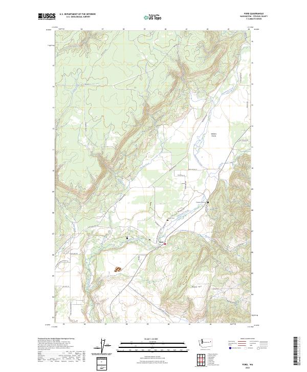 2023 Ford2023 Print · USGSNear the Spokane Indian Reservation in the modern era, this Stevens County landscape centers on the community of Ford. Researchers can trace local burial grounds at Hubert Cem and Pleasant View Cem or follow the drainage of Chamokane Creek.
 - 2023 Map of Wellington Peak, 2023 Print
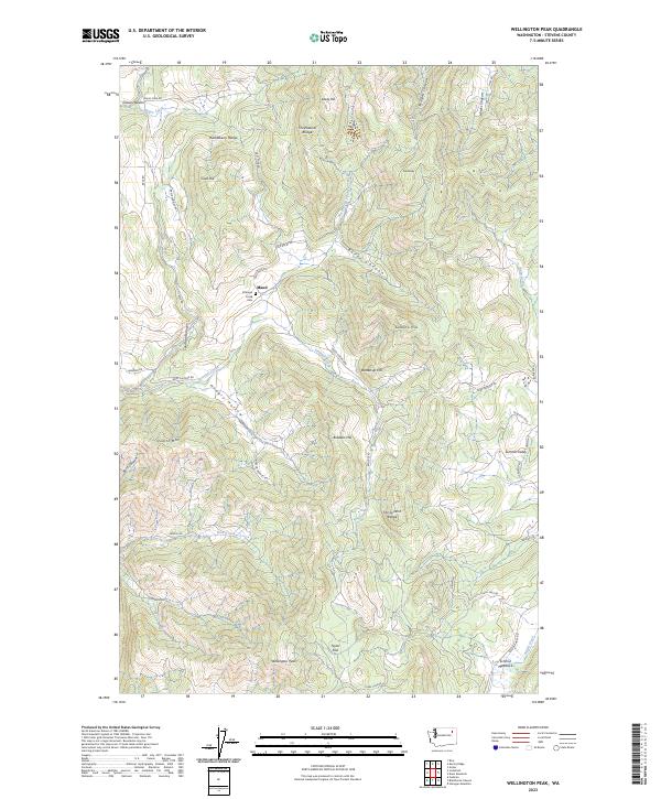 2023 Wellington Peak2023 Print · USGSStevens County’s high country is shown here in modern detail, covering the ridges and canyons east of the Columbia River valley. Genealogists and hikers can locate Stranger Creek Cem, the Maud area, and landmarks like The Natural Bridge.
 - 2023 Map of Kentry Ridge, 2023 Print
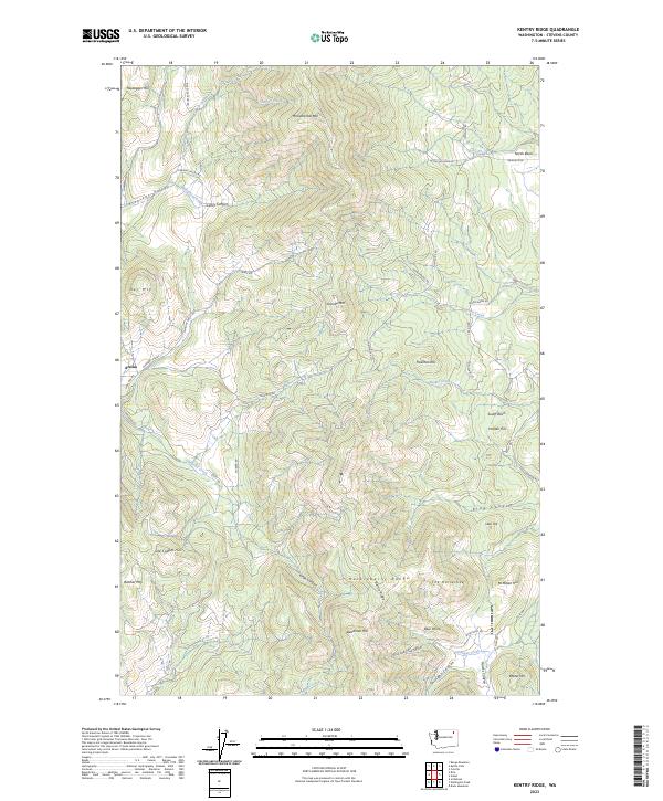 2023 Kentry Ridge2023 Print · USGSThe Huckleberry Range of Stevens County is shown here in the 2020s, detailing a high-elevation landscape of peaks and winding canyon roads. You can trace the geography of the rural settlement at Arzina and locate landmarks like Old Copper Hill and Monumental Mtn.
 - 2023 Map of Wellpinit, 2023 Print
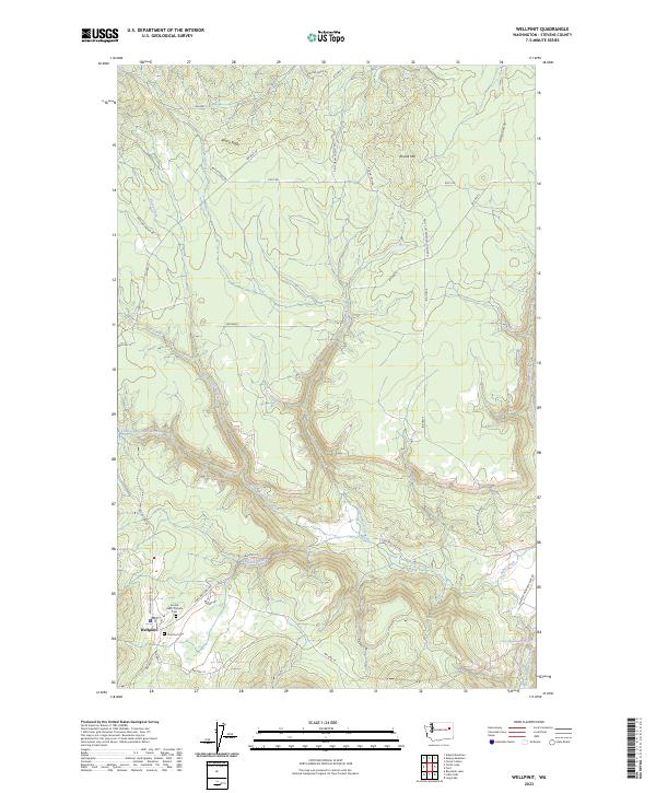 2023 Wellpinit2023 Print · USGSThe community of Wellpinit is shown in detail during the early 2020s, highlighting its role as a key settlement in Stevens County. Genealogists and historians can trace local sites like the Sacred Heart Catholic Cem, Chief Lot Cem, and the waters of Little Chamokane Falls.
 - 2023 Map of Stensgar Mountain, 2023 Print
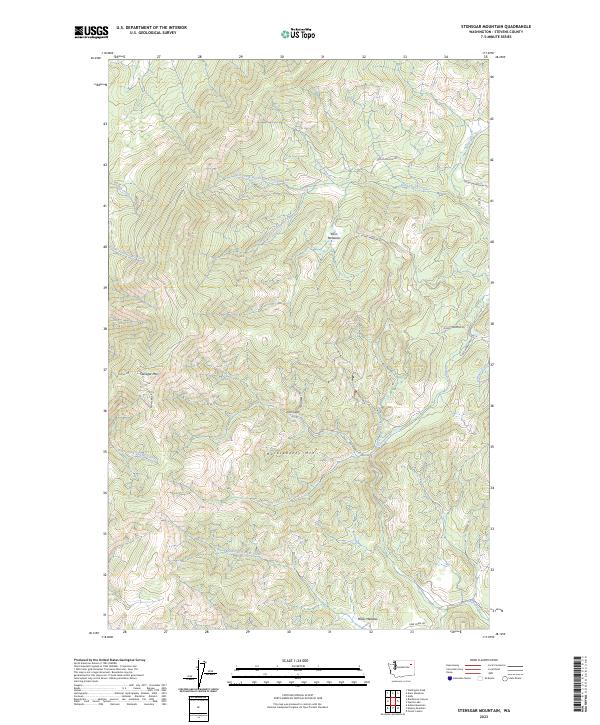 2023 Stensgar Mountain2023 Print · USGSStevens County’s high country is captured here in the early twenty-first century, centered on the heights of Stensgar Mtn. Local historians can trace the remote settlement at Iron Gate and follow the old forest routes of Red Marble Rd and Klines Meadow Rd.
 - 2023 Map of Adams Mountain, 2023 Print
 2023 Adams Mountain2023 Print · USGSIn the high country of Stevens County during the early twenty-first century, this map shows the intersection of mountain timberlands and rural valley life. Researchers can trace the old road to Turk and the paths leading toward the Cleveland Mine Rd or the heights of Adams Mtn.
 - 2023 Map of Waitts Lake, 2023 Print
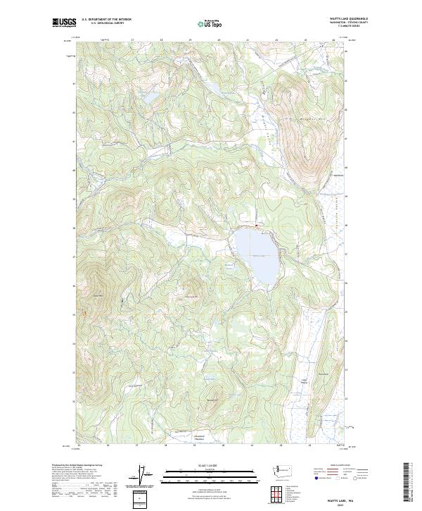 2023 Waitts Lake2023 Print · USGSStevens County’s upland lakes and river valleys are captured here in the early twenty-first century. Researchers can trace land tracts near Waitts Lake and find locally named landmarks like Little Sweden, Boudes Hill, and Haverland Meadows.
 - 2023 Map of Benjamin Lake, 2023 Print
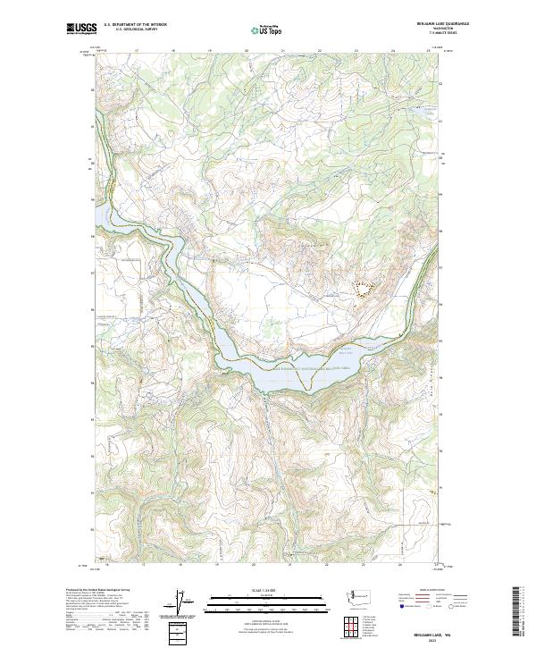 2023 Benjamin Lake2023 Print · USGSThe border of Lincoln and Stevens Counties is defined by the winding Spokane River in this contemporary survey of the Washington interior. Genealogists and hikers can trace access routes from BIA HWY 38 to remote landmarks like Benjamin Lake and Cayuse Mtn.
 - 2023 Map of Turtle Lake, 2023 Print
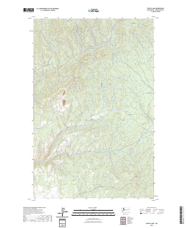 2023 Turtle Lake2023 Print · USGSStevens County highland terrain is documented here in the early 2020s, showing the intersection of tribal land management and historic mining access. Researchers can trace the routes to high-elevation sites like Germania Mine Rd or locate natural features such as Turtle Lake and Spokane Mtn.
 - 2023 Map of Park Rapids, 2023 Print
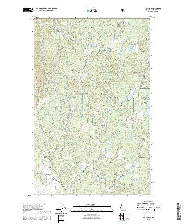 2023 Park Rapids2023 Print · USGSThe Park Rapids area and the Little Pend Oreille River valley are captured here as they appeared in the early twenty-first century. Researchers can trace forest management boundaries and mountain landmarks like Old Dominion Mtn or find Crystal Falls and Little Twin Lakes.
 - 2023 Map of Dunn Mountain, 2023 Print
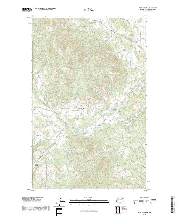 2023 Dunn Mountain2023 Print · USGSSummit Valley in Stevens County is captured here in a period of modern rural persistence among the high peaks of the Huckleberry Range. Researchers can locate family landmarks like the Summit Valley Cem, the waters of Miller Reservoir, and the slopes of Dunn Mtn.
 - 2023 Map of Blackhorse Canyon, 2023 Print
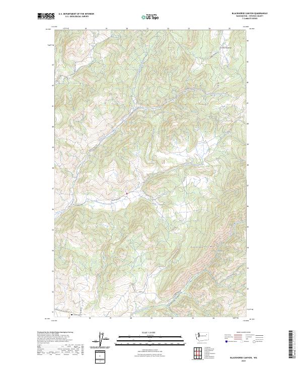 2023 Blackhorse Canyon2023 Print · USGSThe high timberlands and creek drainages of Stevens County come into focus in this contemporary survey. Genealogists and local historians can locate Greenwood Cem and trace rural routes like Cedonia-Addy Rd near the slopes of Huckleberry Mtn.
 - 2023 Map of Churchill Mountain OE N, 2023 Print
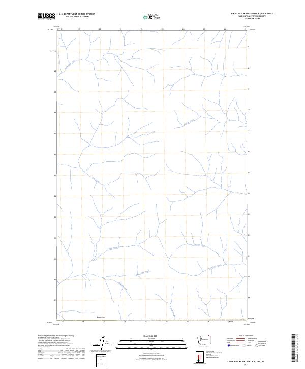 2023 Churchill Mountain OE N2023 Print · USGSStevens County in the early twenty-first century remains a landscape of intricate drainages and natural landmarks. Local historians can trace the headwaters of the American Fork and the elevations surrounding Bowen Mtn or Santa Rosa Creek.
 - 2023 Map of Springdale, 2023 Print
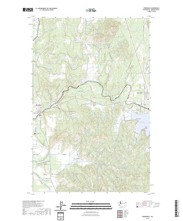 2023 Springdale2023 Print · USGSStevens County is documented here in the early 2020s, showing the established communities of Springdale and Loon Lake. Researchers can trace local landmarks like Springdale Cem, the historic Lime Kiln, and waterfront developments at Tracy Point.
 - 2023 Map of Laurier OE N, 2023 Print
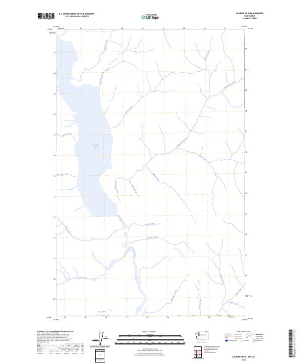 2023 Laurier OE N2023 Print · USGSThe Kettle River valley and Christina Lake define this Stevens County landscape during the early 2020s. Genealogists and researchers can trace local landmarks like Avey Field and the many family-named waterways including Sutherland Creek and Mastodon Creek.
 - 2023 Map of Abercrombie Mountain OE N, 2023 Print
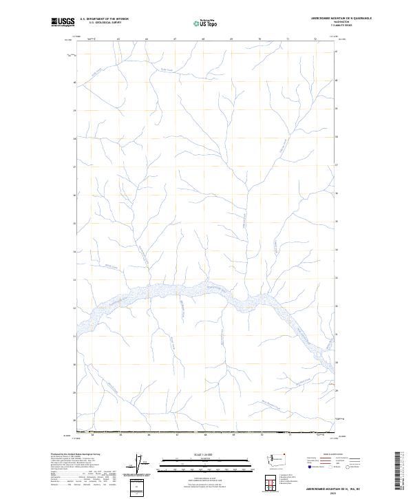 2023 Abercrombie Mountain OE N2023 Print · USGSPend Oreille County's wilderness hydrology is captured in this recent survey of the northern borderlands. Researchers can trace the winding path of the Pend Oreille River and its many tributaries, including Mackenzie Creek, Tillicum Creek, and Salmo River.
 - 2023 Map of Boundary OE N, 2023 Print
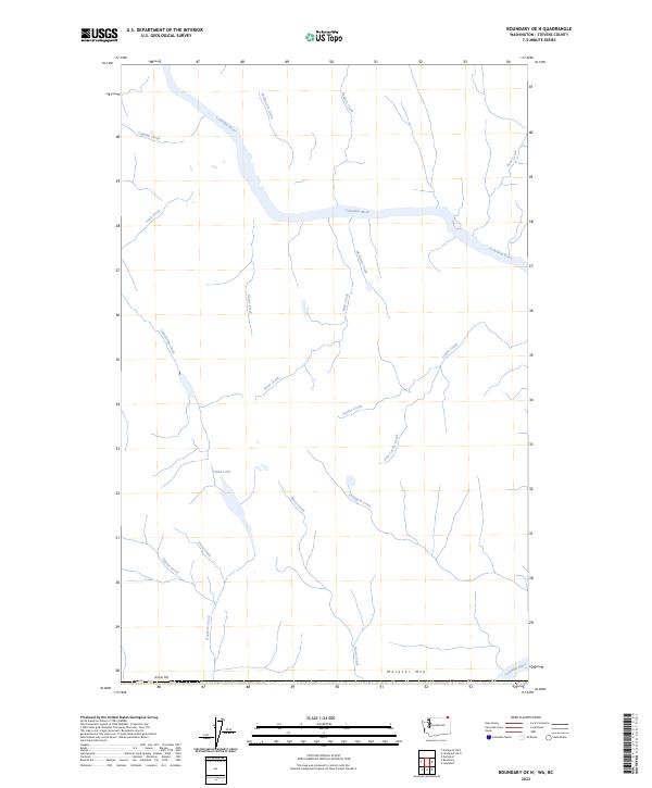 2023 Boundary OE N2023 Print · USGSThe northern boundary of Stevens County is defined by the mighty Columbia River and high peaks in this recent 2023 survey. Researchers can trace intricate waterway systems from Violin Lake to the slopes of Moraski Mtn and Simons Mtn.
 - 2023 Map of Leadpoint OE N, 2023 Print
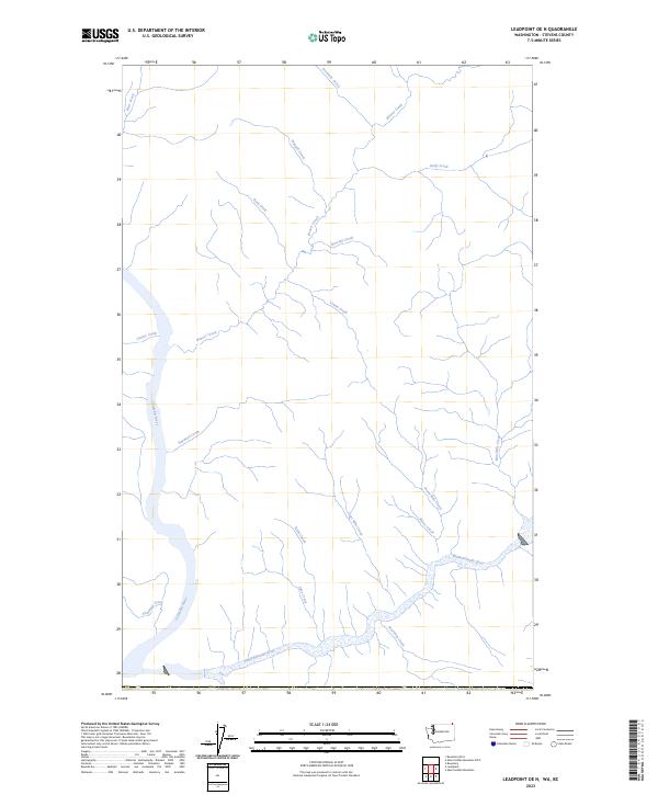 2023 Leadpoint OE N2023 Print · USGSUpper Stevens County is captured here at the meeting of two major river systems. Trace the intricate network of mountain drainages feeding the Columbia River and Pend-d'Oreille River, including Casino Creek, Lime Creek, and Bearskin Creek.
 - 2023 Map of Belshazzar Mountain OE N, 2023 Print
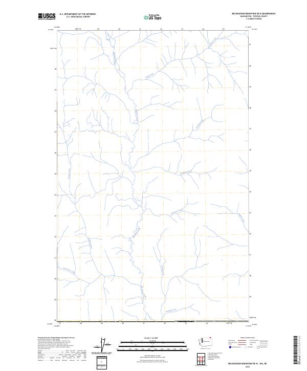 2023 Belshazzar Mountain OE N2023 Print · USGSIn the modern backcountry of Stevens County, this survey details the intricate drainage network of the northern borderlands. Trace the winding course of Big Sheep Creek and its many tributaries, including Santa Rosa Creek and Triumph Creek, to understand the terrain's layout.
 - 2023 Map of Northport OE N, 2023 Print
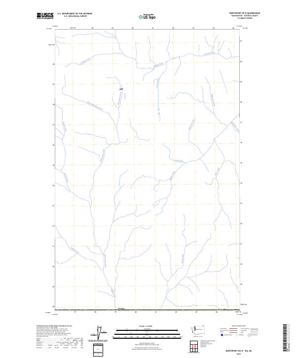 2023 Northport OE N2023 Print · USGSThe northern boundary of Stevens County is captured in this modern survey, showing the drainage systems near Frontier. Researchers can trace the winding paths of Cemetery Creek, West Little Sheep Creek, and Milkranch Creek through this remote watershed.
 - 2023 Map of Inkster Lake, 2023 Print
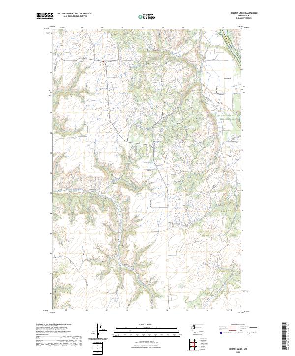 2023 Inkster Lake2023 Print · USGSLincoln County ranching country and the Spokane River Arm are captured here in the early twenty-first century. Researchers can trace rural lineages through Frans Cem and family landmarks like Curliss Ranch Dr N and Mc Call Grade.
 - 2023 Map of McCoy Lake, 2023 Print
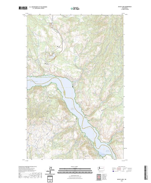 2023 McCoy Lake2023 Print · USGSThe Spokane River Arm and Lake Roosevelt take center stage in this detailed study of Stevens County during the 2020s. Local researchers can pinpoint rural cemeteries like Our Lady of Lourdes Cem and family-named landmarks such as Lilienthal Mtn and McCoy Lake.
 - 2023 Map of Johnny George Mountain, 2023 Print
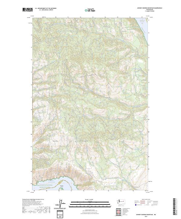 2023 Johnny George Mountain2023 Print · USGSHigh ridges and deep river canyons define this Ferry County terrain in the early twenty-first century. Researchers can trace land management boundaries and access routes like Ninemile-Hellgate Rd while locating landmarks like Jim Mtn and Sterling Point.
 - 2023 Map of Fort Spokane, 2023 Print
 2023 Fort Spokane2023 Print · USGSThe confluence of the Columbia and Spokane Rivers is documented here within the Lake Roosevelt National Recreation Area. Researchers can find historical burial grounds like the Swede Flats Lutheran Cem and trace the local geography of Miles and Abraham Cove.
 - 2023 Map of Little Falls, 2023 Print
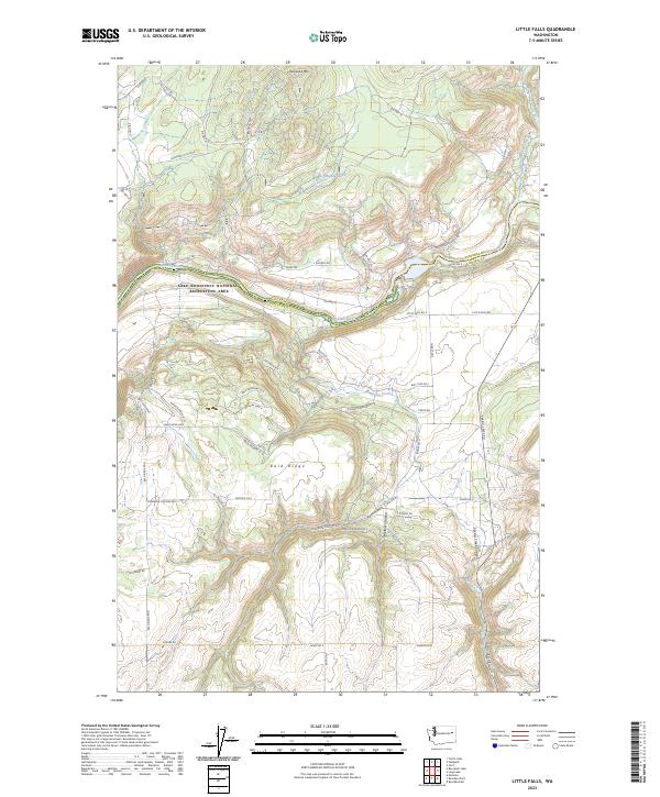 2023 Little Falls2023 Print · USGSLincoln and Stevens counties meet along the Spokane River in this contemporary 2023 survey. Researchers can trace land boundaries near Lake Roosevelt National Recreation Area and identify local family-named routes like Martha Boardman Rd and Dietrick Ln E.
Showing maps 1-25 of 77
Top cities of Stevens County
- Colville historical maps
- Chewelah historical maps
- Kettle Falls historical maps
- Northport historical maps
- Springdale historical maps
- Marcus historical maps
Frequently asked questions
- What are the different types of historical maps available for Stevens County?
- What is the oldest map of Stevens County?
- Where can I purchase historical maps of Stevens County for my home or office?
- Where can I download high-res historical maps of Stevens County?
- Are there historical topographic maps available for Stevens County?
- Is there historical aerial imagery available for Stevens County?
- Where are historical maps of Stevens County sourced from?