1960s Maps of Stevens County, Washington
Explore 40 historic maps of Stevens County from the 1960s. These maps offer a rare glimpse into what life looked like during the 1960s — showing old roads, neighborhoods, homes, and landmarks that have changed or disappeared over time.
Whether you're researching your family's past, planning a metal detecting trip, or studying how Stevens County's landscape evolved across the 1960s, these high-resolution maps are a powerful tool for exploring the history of this region.
- Focus on a specific era: All maps on this page are from the 1960s, giving you a focused view of this time period.
- See what’s changed: Compare century-old streets, trails, and buildings to today's modern landscape using overlays and satellite layers.
- Research with precision: Use these maps for genealogy, historical research, land use analysis, or educational projects.
- View, download, or print: Maps are fully viewable online in high resolution, and can be downloaded or printed for your own records.
Start exploring Stevens County's history through authentic maps from the 1960s. This is your window into the past.
Stevens County, WA maps
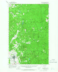
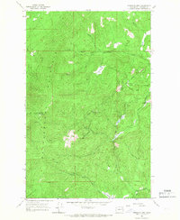
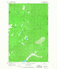
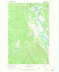
(40)- 1963 Map of Sandpoint
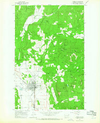
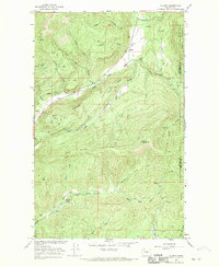
 1963 Sandpoint1963 Print · USGSNorthern Idaho and eastern Washington are shown in the early sixties as a high-country network of timber, mining, and rail. Genealogists and historians can trace the Great Northern line through Metaline Falls, Bonners Ferry, and past the Finch Mine.
 - 1964 Map of Chewelah, 1965 Print
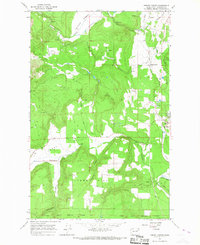
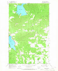
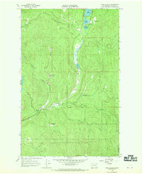
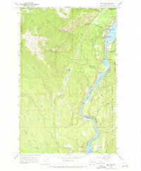
 1964 Chewelah1965 Print · USGSChewelah and the surrounding Stevens County mining districts are captured here in the mid-1960s during a period of heavy mineral extraction. Trace the extensive rail and mine networks of the day, including the Great Northern line, the Jay Gould Mine, and the United Copper No 1 Mine.4 unique versions available
 - 1964 Map of Cliff Ridge, 1966 Print
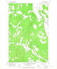
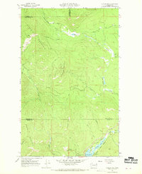
 1964 Cliff Ridge1966 Print · USGSStevens County’s mountainous forest lands are captured in the mid-1960s, showing a landscape defined by the Little Pend Oreille Game Range. Researchers can trace old mountain routes like the OLD GRADE, locate the former Bingville (Site), and find the isolated Narcisse Sch.5 unique versions available
 - 1964 Map of Calispell Peak, 1966 Print
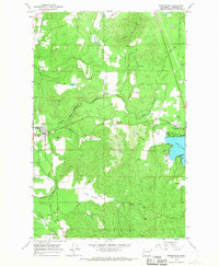
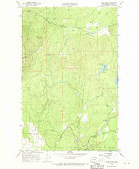
 1964 Calispell Peak1966 Print · USGSThe high divide between Stevens and Pend Oreille counties is captured here in the mid-1960s, showing a rugged landscape of national forests and seasonal meadows. Researchers can trace family-named landmarks like Pal Moore Meadow and Hartill Meadows or locate Phillips Lake near the game range boundary.3 unique versions available
 - 1964 Map of Goddards Peak, 1966 Print
 1964 Goddards Peak1966 Print · USGSStevens County’s high peaks and national forest boundaries are captured here in the mid-1960s. Researchers can trace historic access routes like the Flowery Trail Road to landmarks such as the Lookout Tower on Chewelah Mtn.4 unique versions available
 - 1964 Map of Chewelah Mtn, 1966 Print
 1964 Chewelah Mtn1966 Print · USGSThe mining and rail corridor of the Colville River valley comes into sharp focus during the mid-sixties. Genealogists and historians can locate family-named landmarks and industrial sites like the Copper King No 1 Mine, St Marys Mission, and the Northern Pacific RR through Chewelah.2 unique versions available
 - 1965 Map of Ritzville
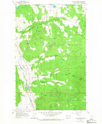
 1965 Ritzville1965 Print · USGSCentral Washington during the mid-sixties shows a landscape shaped by massive irrigation projects and the Cold War. Genealogists and historians can trace rail-town life and military presence through Ephrata Air Base, the Telford Station, and local schools.
 - 1965 Map of Empey Mountain, 1967 Print
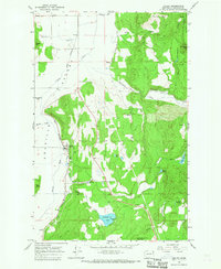
 1965 Empey Mountain1967 Print · USGSThe Spokane Indian Reservation border and the high ridges of Stevens County are captured here in the mid-1960s. Researchers can trace historic resource extraction at a Mine and Prospect or follow the path of the Old Deer Trail Road.3 unique versions available
 - 1965 Map of Waitts Lake, 1967 Print
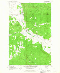
 1965 Waitts Lake1967 Print · USGSStevens County in the mid-sixties shows a landscape of mountain mining and valley agriculture. Trace historic industrial sites like the Colville Valley Mine, Finch Quarry, and the shoreline developments of Waitts Lake.2 unique versions available
 - 1965 Map of Addy, 1967 Print
 1965 Addy1967 Print · USGSStevens County in the mid-1960s was a hub of mining and rail transport centered on the Colville Valley. Researchers can trace the path of the Great Northern railroad and locate historical mining sites like the Liberty Mine and Checops Mine.3 unique versions available
 - 1965 Map of Dunn Mountain, 1967 Print
 1965 Dunn Mountain1967 Print · USGSStevens County in the mid-1960s shows a landscape of mountain schools and rural trails. Trace family-named landmarks like Smith Road and Habura Road or locate the Summit Valley Cem and West Side Sch.2 unique versions available
 - 1965 Map of Stensgar Mtn., 1967 Print
 1965 Stensgar Mtn.1967 Print · USGSThe mining industry in the Stevens County highlands is captured here in the mid-1960s. Researchers can locate numerous historical extraction sites including the Red Marble Quarry, Admiral Mine, and the Wells Fargo Mine.2 unique versions available
 - 1965 Map of Forest Center, 1967 Print
 1965 Forest Center1967 Print · USGSSouthern Stevens County in the mid-sixties reveals a landscape defined by the Great Northern rail corridor and timbered hills. Genealogists and historians can trace family-named landmarks like Mickelson Road and Lyons Hill or locate the site of Forest Center.3 unique versions available
 - 1965 Map of Addy Mountain, 1967 Print
 1965 Addy Mountain1967 Print · USGSStevens County in the mid-1960s shows a landscape of mountain timber and river-valley transport. Genealogists and historians can trace old homesteads near Arden, the Twelvemile Sch, and the path of the Great Northern railroad.5 unique versions available
 - 1965 Map of Valley, 1967 Print
 1965 Valley1967 Print · USGSThe Colville River valley in the mid-1960s was a hub for railroad transit and mountain resource extraction. Local historians can trace the Great Northern rail line through Valley or locate the Blue Bird Mine and nearby Cem.3 unique versions available
 - 1965 Map of Nelson Peak, 1967 Print
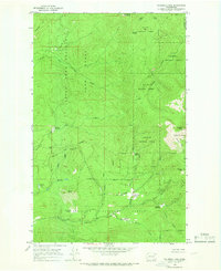
 1965 Nelson Peak1967 Print · USGSThe timbered high country of the Stevens and Pend Oreille county line is captured here in the mid-sixties. Genealogists and historians can locate remote landmarks like Camp Hafer, Kaniksu Ranch, and several mining prospects near Nelson Peak.3 unique versions available
 - 1965 Map of Deer Lake, 1967 Print
 1965 Deer Lake1967 Print · USGSIn the mid-1960s, this area on the Stevens and Spokane county line was a hub of mineral extraction and rural life. Researchers can trace historic industry at Little King Mines and Claypits, or locate family sites near Zion Hill Cem.3 unique versions available
 - 1965 Map of Arden, 1967 Print
 1965 Arden1967 Print · USGSThe Stevens County landscape in the mid-1960s reveals a bustling corridor of rail and river industry between the settlements of Arden and Orin. Local historians can trace the intersection of the Great Northern line with sites like the Ham Mine and the quiet waters of Blue Lake.3 unique versions available
 - 1965 Map of Springdale, 1967 Print
 1965 Springdale1967 Print · USGSSoutheastern Stevens County comes to life in the mid-1960s as a hub of rail activity and lakeside recreation. Genealogists and historians can trace the Great Northern tracks from Springdale to the busy shores of Loon Lake.3 unique versions available
 - 1966 Map of Aladdin, 1969 Print
 1966 Aladdin1969 Print · USGSMountainous mining country near the Stevens and Pend Oreille County line comes into focus in the mid-1960s. Researchers can locate remote industrial sites like the Morning Mine or trace community roots in the Bon Ayre Valley near the Bon Ayre School.3 unique versions available
 - 1966 Map of Lake Gillette, 1969 Print
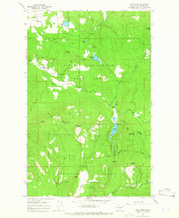
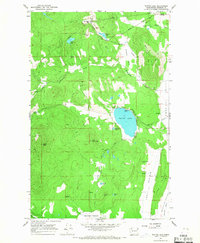
 1966 Lake Gillette1969 Print · USGSThe mid-1960s landscape of Stevens County is defined here by the chain of lakes along the Little Pend Oreille River. Genealogists and historians can trace old homestead sites and clearings like Scrabblers Flat, Hosmer, and the Spruce Canyon Youth Camp.4 unique versions available
 - 1967 Map of Aladdin Mtn, 1969 Print
 1967 Aladdin Mtn1969 Print · USGSThe high Selkirk country straddling the Stevens and Pend Oreille county line is captured here in the late sixties. Researchers can trace the legacy of local prospecting at the Aladdin Mine and Middleport Mine, or locate historic lakeside spots like Princess Pine Camp.4 unique versions available
 - 1967 Map of Park Rapids, 1970 Print
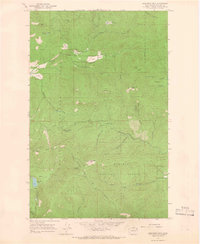
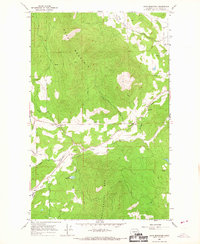
 1967 Park Rapids1970 Print · USGSThe Stevens County backcountry in the late sixties reveals a landscape of high summits and managed wilderness. Genealogists and researchers can trace old routes like the jeep trails to landmarks such as Longshot Mine and Crystal Falls.3 unique versions available
 - 1967 Map of Ione, 1971 Print
 1967 Ione1971 Print · USGSThe Pend Oreille River valley in the late sixties shows a landscape defined by timber, rail, and water. Genealogists and historians can locate the Riverside Cem near Ione or trace the Milwaukee Road railroad through Tiger.4 unique versions available
 - 1967 Map of Metaline, 1971 Print
 1967 Metaline1971 Print · USGSThe Pend Oreille River valley in the late 1960s reveals a landscape defined by mining, rail transport, and forestry. Researchers can trace the local mining footprint at the Oriole Mine or locate family sites near Perkins Cem and Selkirk High Sch.3 unique versions available
Showing maps 1-25 of 40
Top cities of Stevens County
- Colville historical maps
- Chewelah historical maps
- Kettle Falls historical maps
- Northport historical maps
- Springdale historical maps
- Marcus historical maps
Frequently asked questions
- What are the different types of historical maps available for Stevens County?
- What is the oldest map of Stevens County?
- Where can I purchase historical maps of Stevens County for my home or office?
- Where can I download high-res historical maps of Stevens County?
- Are there historical topographic maps available for Stevens County?
- Is there historical aerial imagery available for Stevens County?
- Where are historical maps of Stevens County sourced from?