Old Maps of Birch Bay, Washington for Academic Research
Study the evolution of Birch Bay with 28 high-resolution historic maps. Whether you're teaching, researching, or modeling changes in land use, these maps provide essential visual documentation of urban, environmental, and geographic change.
- Analyze long-term change: Track patterns in development, transportation, and natural features.
- Ideal for environmental or urban studies: Support academic projects with primary historical map data.
- Use in the classroom or lab: Educators and researchers rely on these maps to bring historical context to life.
These maps are a powerful tool for teaching, research, and visualizing how Birch Bay has changed over the decades.
Birch Bay, WA maps
(28)- 1907 Map of Blaine
 1907 Blaine1907 Print · USGSNorthwest Washington at the dawn of the twentieth century is defined here by the international border and the arrival of the rails. Genealogists and historians can trace the early layouts of Blaine, Ferndale, and Semiahmoo, alongside the Great Northern RR and the Lummi Indian Reservation.3 unique versions available
 - 1952 Map of Birch Point, 1954 Print
 1952 Birch Point1954 Print · USGSThe northwestern tip of Washington state appears here in the early fifties, showing the coastal interface of the Strait of Georgia and Drayton Harbor. Researchers can trace the development of Semiahmoo, explore the rural roads leading to Cottonwood Beach, and locate family landmarks along Birch Point Rd.5 unique versions available
 - 1952 Map of Lummi Bay, 1957 Print
 1952 Lummi Bay1957 Print · USGSThe coastal Lummi Indian Reservation meets the Strait of Georgia in the early fifties, showing a landscape of river flats and rising uplands. Trace family homesteads along Mt View Road or explore the mid-century shoreline at Neptune Beach and Sandy Point.4 unique versions available
 - 1952 Map of Blaine, 1957 Print
 1952 Blaine1957 Print · USGSThe Washington coast met the Canadian border in the early fifties at this busy international crossing and rural farming district. Researchers can trace the mid-century footprints of Kickerville, the Whitehorn School, and community hubs like the Haynie Grange.4 unique versions available
 - 1952 Map of Blaine, 1960 Print
 1952 Blaine1960 Print · USGSCoastal Whatcom County is shown in the early fifties, from the international border at Blaine down to the Lummi Indian Reservation. Genealogists and local historians can trace rural schoolhouses like Whitehorn School, find family plots at Kulshan Cem, or locate the old Haynie Grange and Birch Bay Circle Grange.
 - 1957 Map of Victoria, 1960 Print
 1957 Victoria1960 Print · USGSThe San Juan Islands and the North Cascades coastline are shown in detail during the late fifties, a period of significant military and industrial presence. Researchers can trace historic rail lines like the Great Northern or locate sites such as the Whidbey Island Naval Air Sta and Friday Harbor.4 unique versions available
 - 1975 Map of Bellingham, 1977 Print
 1975 Bellingham1977 Print · USGSNorthwest Washington in the mid-seventies is captured here, from the Canadian border at Blaine to the San Juan Islands. Researchers can trace tribal lands on the Lummi Indian Reservation, find rural settlements like Cokedale, or follow the Burlington Northern rail lines.
 - 1997 Map of Lummi Bay, 2003 Print
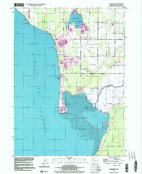 1997 Lummi Bay2003 Print · USGSCoastal Whatcom County shows a striking mix of heavy industry and reservation life during the late nineties. Researchers can trace the development of Sandy Point and the Refinery complex, or locate family sites near Mountain View Cem and the Lummi River.
 - 2011 Map of Lummi Bay, 2011 Print
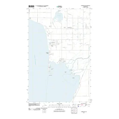 2011 Lummi Bay2011 Print · USGSThe Whatcom County coastline comes into focus in the early 2010s, showcasing a mix of heavy industry and waterfront residential life. Genealogists and local historians can trace the development of Sandy Point Shores and Neptune Beach alongside the massive Conoco Phillips Ferndale Refinery.
 - 2011 Map of Birch Point, 2011 Print
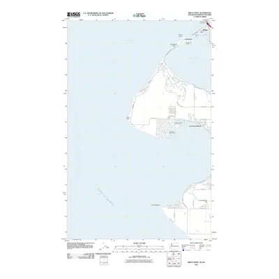 2011 Birch Point2011 Print · USGSThe Washington coast at the Canadian border in the early 2000s shows a landscape of maritime commerce and recreation. Trace the development of Semiahmoo and Blaine, including coastal landmarks like Semiahmoo Spit and the Port of Blaine.
 - 2011 Map of Blaine, 2011 Print
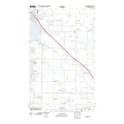 2011 Blaine2011 Print · USGSCoastal Whatcom County is captured here in the early twenty-first century, showing the border city and its surrounding rural hamlets. Genealogists can locate family sites at Hillsdale Cemetery or Haynie Cemetery, while others can trace the industrial footprint of the Cherry Point Refinery.
 - 2011 Map of Lummi Bay OE W, 2011 Print
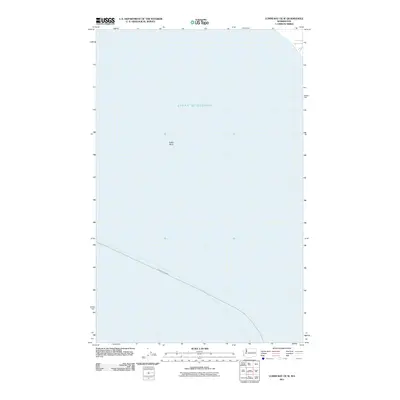 2011 Lummi Bay OE W2011 Print · USGSThe maritime environment of the Pacific Northwest is documented here in the early twenty-first century, focusing on the waters near Birch Bay. Map collectors and nautical historians can trace the deep-water Ketchikan-Bellingham corridor and the shoal at Alden Bank.
 - 2014 Map of Lummi Bay OE W, 2014 Print
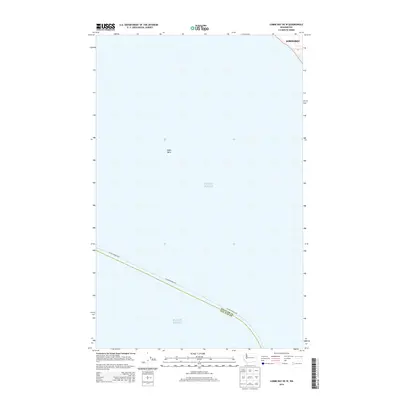 2014 Lummi Bay OE W2014 Print · USGSPuget Sound and the waters off the Washington coast are charted here in the early twenty-first century. Researchers and maritime historians can trace the boundary of Whatcom Co and San Juan Co and locate underwater features like Alden Bank and the Alaska Marine Hwy.
 - 2014 Map of Lummi Bay, 2014 Print
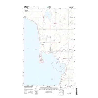 2014 Lummi Bay2014 Print · USGSThe Whatcom County shoreline north of Bellingham appears in high detail during the early 2010s, showing the transition from industrial sites to coastal communities. Local researchers can trace family lands near Lake Terrell or explore the geography of Neptune Beach, Lummi Flats, and Cha-Choo-Sen.
 - 2014 Map of Blaine, 2014 Print
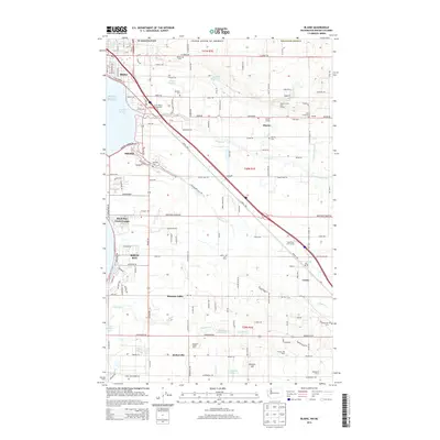 2014 Blaine2014 Print · USGSCoastal Whatcom County and the international border appear here as a thriving corridor of dairy farming and local granges in the early twenty-first century. Genealogists and historians can locate family-named sites like Paul Dairy and Aldergrove Farms, or trace community landmarks including Haynie Cem and the Birch Bay Circle Grange.
 - 2014 Map of Birch Point, 2014 Print
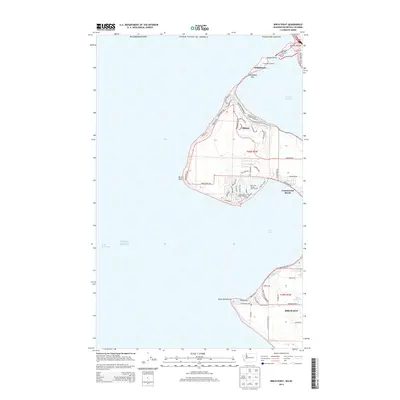 2014 Birch Point2014 Print · USGSCoastal Whatcom County is mapped here during its modern era of maritime development and shoreline growth along the Canadian border. Genealogists and local historians can trace property locations and maritime landmarks like Semiahmoo Spit, the Port of Blaine, and Cottonwood Beach.
 - 2017 Map of Lummi Bay OE W, 2017 Print
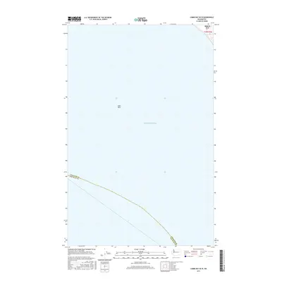 2017 Lummi Bay OE W2017 Print · USGSPuget Sound and its maritime boundaries are the focus of this recent coastal survey. Researchers can trace the aquatic borders of Whatcom Co and San Juan Co while identifying submerged features like Alden Bank and the entrance to Birch Bay.
 - 2017 Map of Blaine, 2017 Print
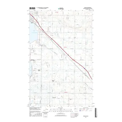 2017 Blaine2017 Print · USGSThe northern Washington coast near the Canadian border comes into focus in this late twenty-tens survey. Genealogists and local historians can trace the foundations of Custer, Kickerville, and Blaine, while locating local landmarks like Hillsdale Cem and the BNSF Railway.
 - 2017 Map of Lummi Bay, 2017 Print
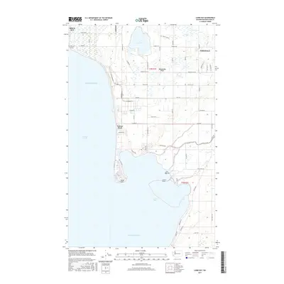 2017 Lummi Bay2017 Print · USGSCoastal Whatcom County is mapped here during a period of modern development between the Strait of Georgia and the growing city of Ferndale. Researchers can trace the industrial corridor near Cherry Point or the residential layout of Neptune Beach and Sandy Point.
 - 2017 Map of Birch Point, 2017 Print
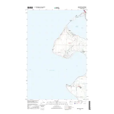 2017 Birch Point2017 Print · USGSThe northwestern tip of Washington comes into focus in the 2010s, where the narrow Semiahmoo Spit and Drayton Harbor meet the border. Genealogists and locals can trace coastal developments around Cottonwood Beach and the drainage of Terrell Creek.
 - 2020 Map of Lummi Bay, 2020 Print
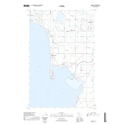 2020 Lummi Bay2020 Print · USGSCoastal Whatcom County is documented here in the 2020s, showing the evolving shoreline from the industrial north to the Lummi Peninsula. Researchers can trace local landmarks from Lake Terrell and Mountain View to coastal sites like Sandy Point and Cha-Choo-Sen.
 - 2020 Map of Lummi Bay OE W, 2020 Print
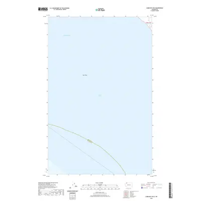 2020 Lummi Bay OE W2020 Print · USGSThe maritime waters of the Salish Sea are captured in this recent survey, showcasing the essential aquatic boundaries of the Pacific Northwest. Researchers can trace the submerged Alden Bank and the water-bound border separating Whatcom and San Juan Counties.
 - 2020 Map of Birch Point, 2020 Print
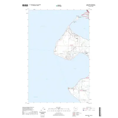 2020 Birch Point2020 Print · USGSThe northern tip of the Washington coast meets the Canadian border in this detailed contemporary view of the Whatcom County shoreline. You can trace the development of coastal communities like Blaine, Semiahmoo, and Birch Bay while exploring landmarks like Semiahmoo Spit and Birch Point.
 - 2020 Map of Blaine, 2020 Print
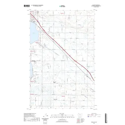 2020 Blaine2020 Print · USGSNorthern Whatcom County's coastal and rural interior appear in detail at the turn of the decade. Genealogists can locate family sites at Blaine Cem or Enterprise Cem and trace the small communities of Kickerville and Custer.
 - 2023 Map of Lummi Bay, 2023 Print
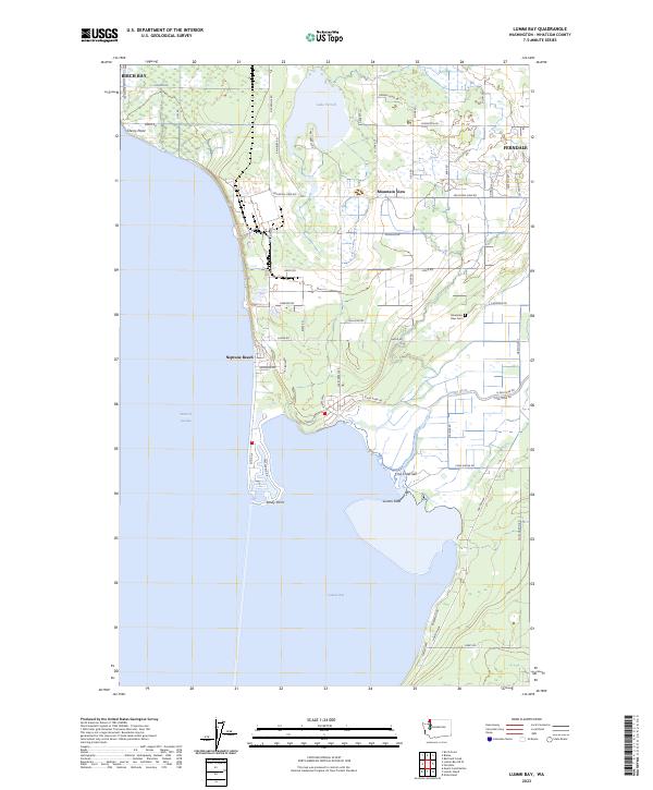 2023 Lummi Bay2023 Print · USGSThe Whatcom County coastline meets the Salish Sea in this recent study of the Lummi Peninsula and its surrounding waters. Researchers can trace local landmarks like Mountain View Cem, the settlement at Cha-Choo-Sen, and the wetlands of the Lummi Flats.
Showing maps 1-25 of 28
Top cities near Birch Bay
Top neighborhoods of Birch Bay
Frequently asked questions
- What are the different types of historical maps available for Birch Bay?
- What is the oldest map of Birch Bay?
- Where can I purchase historical maps of Birch Bay for my home or office?
- Where can I download high-res historical maps of Birch Bay?
- Are there historical topographic maps available for Birch Bay?
- Is there historical aerial imagery available for Birch Bay?
- Where are historical maps of Birch Bay sourced from?