Old Maps of Birch Bay, Washington for Genealogy
Trace your family roots with 28 historic maps of Birch Bay. These high-res maps reveal old neighborhoods, homesites, landmarks, and streets — helping you uncover where your ancestors lived and how the area evolved over time.
- Explore historic neighborhoods: Identify where your relatives may have lived in the 1800s or 1900s.
- Compare maps over time: Trace the changes in streets, buildings, and landmarks for multi-generational research.
- Perfect for genealogy & ancestry research: Used by family historians and researchers to map out lineage and migration.
These maps are an incredible resource for exploring your personal connection to Birch Bay's past.
Birch Bay, WA maps
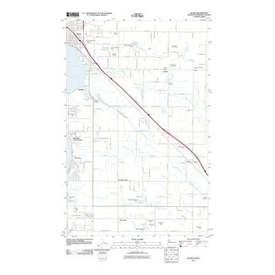
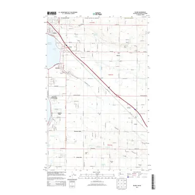
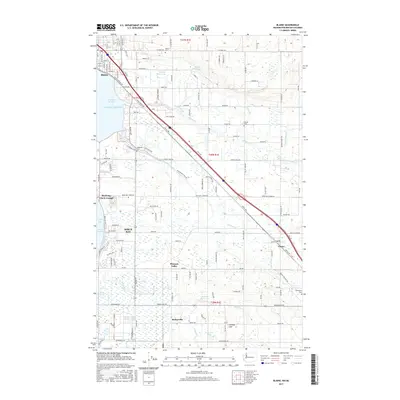
(28)- 1907 Map of Blaine
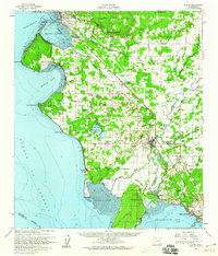
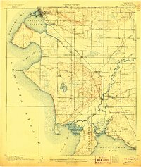 1907 Blaine1907 Print · USGSNorthwest Washington at the dawn of the twentieth century is defined here by the international border and the arrival of the rails. Genealogists and historians can trace the early layouts of Blaine, Ferndale, and Semiahmoo, alongside the Great Northern RR and the Lummi Indian Reservation.3 unique versions available
 - 1952 Map of Birch Point, 1954 Print
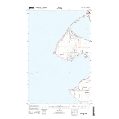
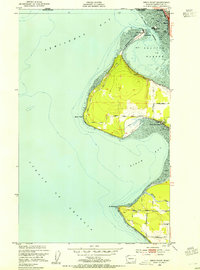 1952 Birch Point1954 Print · USGSThe northwestern tip of Washington state appears here in the early fifties, showing the coastal interface of the Strait of Georgia and Drayton Harbor. Researchers can trace the development of Semiahmoo, explore the rural roads leading to Cottonwood Beach, and locate family landmarks along Birch Point Rd.5 unique versions available
 - 1952 Map of Lummi Bay, 1957 Print
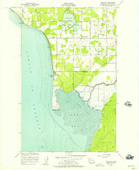 1952 Lummi Bay1957 Print · USGSThe coastal Lummi Indian Reservation meets the Strait of Georgia in the early fifties, showing a landscape of river flats and rising uplands. Trace family homesteads along Mt View Road or explore the mid-century shoreline at Neptune Beach and Sandy Point.4 unique versions available
 - 1952 Map of Blaine, 1957 Print
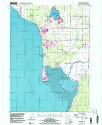
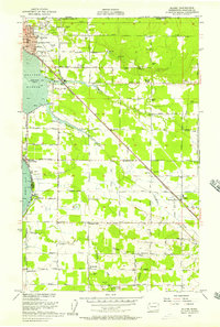 1952 Blaine1957 Print · USGSThe Washington coast met the Canadian border in the early fifties at this busy international crossing and rural farming district. Researchers can trace the mid-century footprints of Kickerville, the Whitehorn School, and community hubs like the Haynie Grange.4 unique versions available
 - 1952 Map of Blaine, 1960 Print
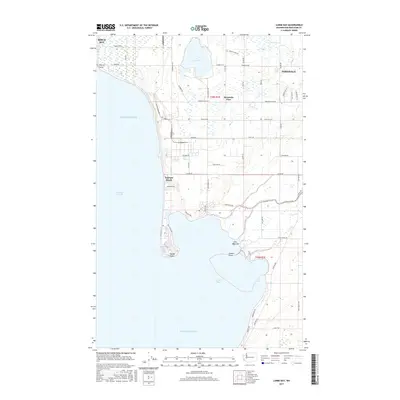
 1952 Blaine1960 Print · USGSCoastal Whatcom County is shown in the early fifties, from the international border at Blaine down to the Lummi Indian Reservation. Genealogists and local historians can trace rural schoolhouses like Whitehorn School, find family plots at Kulshan Cem, or locate the old Haynie Grange and Birch Bay Circle Grange.
 - 1957 Map of Victoria, 1960 Print
 1957 Victoria1960 Print · USGSThe San Juan Islands and the North Cascades coastline are shown in detail during the late fifties, a period of significant military and industrial presence. Researchers can trace historic rail lines like the Great Northern or locate sites such as the Whidbey Island Naval Air Sta and Friday Harbor.4 unique versions available
 - 1975 Map of Bellingham, 1977 Print
 1975 Bellingham1977 Print · USGSNorthwest Washington in the mid-seventies is captured here, from the Canadian border at Blaine to the San Juan Islands. Researchers can trace tribal lands on the Lummi Indian Reservation, find rural settlements like Cokedale, or follow the Burlington Northern rail lines.
 - 1997 Map of Lummi Bay, 2003 Print
 1997 Lummi Bay2003 Print · USGSCoastal Whatcom County shows a striking mix of heavy industry and reservation life during the late nineties. Researchers can trace the development of Sandy Point and the Refinery complex, or locate family sites near Mountain View Cem and the Lummi River.
 - 2011 Map of Lummi Bay, 2011 Print
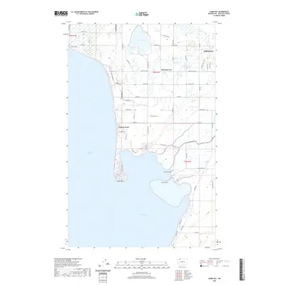
 2011 Lummi Bay2011 Print · USGSCovers Birch Bay, including Ferndale, Mountain View, and other nearby areas
 - 2011 Map of Birch Point, 2011 Print
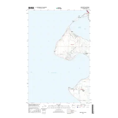
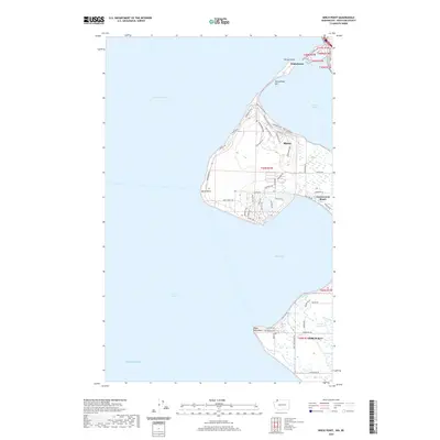
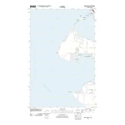 2011 Birch Point2011 Print · USGSCovers Birch Bay, including Semiahmoo, Cottonwood Beach, and other nearby areas
 - 2011 Map of Blaine, 2011 Print
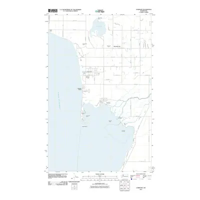
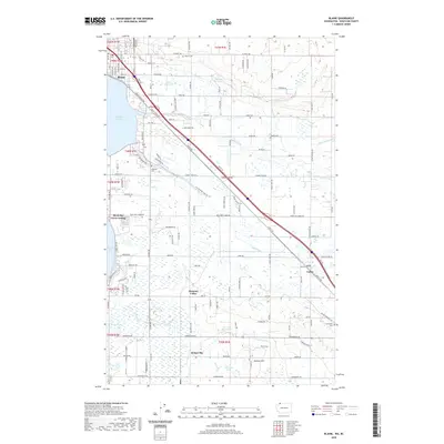
 2011 Blaine2011 Print · USGSCovers Birch Bay, including Custer, Kickerville, and other nearby areas
 - 2011 Map of Lummi Bay OE W, 2011 Print
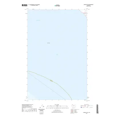
 2011 Lummi Bay OE W2011 Print · USGSCovers Birch Bay, including Whatcom County, San Juan County, and other nearby areas
 - 2014 Map of Lummi Bay OE W, 2014 Print
 2014 Lummi Bay OE W2014 Print · USGSCovers Birch Bay, including Whatcom County, San Juan County, and other nearby areas
 - 2014 Map of Lummi Bay, 2014 Print
 2014 Lummi Bay2014 Print · USGSCovers Birch Bay, including Ferndale, Mountain View, and other nearby areas
 - 2014 Map of Blaine, 2014 Print
 2014 Blaine2014 Print · USGSCovers Birch Bay, including Custer, Kickerville, and other nearby areas
 - 2014 Map of Birch Point, 2014 Print
 2014 Birch Point2014 Print · USGSCovers Birch Bay, including Semiahmoo, Cottonwood Beach, and other nearby areas
 - 2017 Map of Lummi Bay OE W, 2017 Print
 2017 Lummi Bay OE W2017 Print · USGSCovers Birch Bay, including Whatcom County, San Juan County, and other nearby areas
 - 2017 Map of Blaine, 2017 Print
 2017 Blaine2017 Print · USGSCovers Birch Bay, including Custer, Kickerville, and other nearby areas
 - 2017 Map of Lummi Bay, 2017 Print
 2017 Lummi Bay2017 Print · USGSCovers Birch Bay, including Ferndale, Mountain View, and other nearby areas
 - 2017 Map of Birch Point, 2017 Print
 2017 Birch Point2017 Print · USGSCovers Birch Bay, including Semiahmoo, Cottonwood Beach, and other nearby areas
 - 2020 Map of Lummi Bay, 2020 Print
 2020 Lummi Bay2020 Print · USGSCovers Birch Bay, including Ferndale, Mountain View, and other nearby areas
 - 2020 Map of Lummi Bay OE W, 2020 Print
 2020 Lummi Bay OE W2020 Print · USGSCovers Birch Bay, including Whatcom County, San Juan County, and other nearby areas
 - 2020 Map of Birch Point, 2020 Print
 2020 Birch Point2020 Print · USGSCovers Birch Bay, including Semiahmoo, Cottonwood Beach, and other nearby areas
 - 2020 Map of Blaine, 2020 Print
 2020 Blaine2020 Print · USGSCovers Birch Bay, including Custer, Kickerville, and other nearby areas
 - 2023 Map of Lummi Bay, 2023 Print
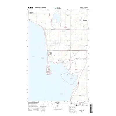
 2023 Lummi Bay2023 Print · USGSThe Whatcom County coastline meets the Salish Sea in this recent study of the Lummi Peninsula and its surrounding waters. Researchers can trace local landmarks like Mountain View Cem, the settlement at Cha-Choo-Sen, and the wetlands of the Lummi Flats.
Showing maps 1-25 of 28
Top cities near Birch Bay
Top neighborhoods of Birch Bay
Frequently asked questions
- What are the different types of historical maps available for Birch Bay?
- What is the oldest map of Birch Bay?
- Where can I purchase historical maps of Birch Bay for my home or office?
- Where can I download high-res historical maps of Birch Bay?
- Are there historical topographic maps available for Birch Bay?
- Is there historical aerial imagery available for Birch Bay?
- Where are historical maps of Birch Bay sourced from?