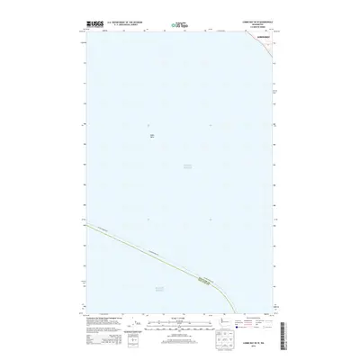
2014 Map of Lummi Bay OE W
USGS Topo · Published 2014About this map
Puget Sound dominates this maritime survey, illustrating the vast aquatic expanse where the county line between Whatcom Co and San Juan Co is delineated through open water. The map focuses on the submerged landscape, highlighting the undersea topography of Alden Bank, a significant feature for navigation and marine study. Along the northeastern edge, the shoreline of Birch Bay appears, marking the transition from the sound to the coastal land of Washington. The inclusion of the Alaska Marine Hwy as a mapped route underscores the area's importance as a primary maritime corridor, connecting the Pacific Northwest through these critical waterways.
Find a feature on this map
5 named features on this map. Tap any name to fly to it.
Don’t see what you’re looking for? This feature index may not catch every label — zoom into the map to look around manually.
Map Details
Editions of this 2014 Lummi Bay OE W Map
This is the sole edition of this map. No revisions or reprints were ever made.
Other maps of this area

1907 · Blaine
USGS Topo · 1:62,500

1943 · Orcas Island
USGS Topo · 1:62,500

1943 · Anacortes
USGS Topo · 1:62,500

1951 · Anacortes
USGS Topo · 1:62,500

1952 · Birch Point
USGS Topo · 1:24,000

1952 · Lummi Bay
USGS Topo · 1:24,000

1952 · Blaine
USGS Topo · 1:24,000

1952 · Blaine
USGS Topo · 1:62,500

1957 · Orcas Island
USGS Topo · 1:62,500

1957 · Victoria
USGS Topo · 1:250,000