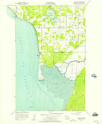
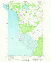
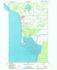
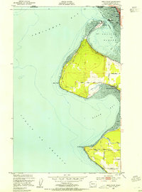
1952 Map of Lummi Bay
USGS Topo · Published 1957About this map
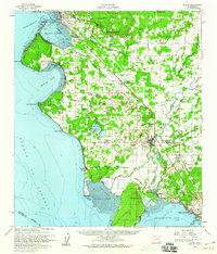
The coastal edge of the Lummi Indian Reservation defines this 1952 landscape, where the Lummi River meets the expansive Lummi Flats. This area is characterized by a mix of early agricultural development and natural conservation, anchored by the Lake Terrell State Game Refuge and the freshwater Lake Terrell. The shoreline along the Strait of Georgia reveals a transition from the industrial potential of Cherry Point in the north to the recreational and residential clusters at Neptune Beach and Sandy Point. Inland, a network of family-named routes like Lonseth Road and Henry Johnson Road connects small settlements such as Mountain View, indicating the importance of local land ownership and dairy farming in this corner of Whatcom County. The presence of a Cem and numerous borrow pits reflects the evolving community infrastructure of the mid-century era.
Find a feature on this map
43 named features on this map. Tap any name to fly to it.
Don’t see what you’re looking for? This feature index may not catch every label — zoom into the map to look around manually.
Map Details
Editions of this 1952 Lummi Bay Map
4 editions found

Other maps of this area
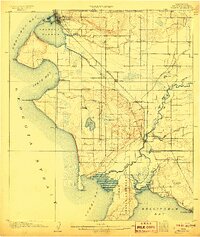
1907 · Blaine
USGS Topo · 1:62,500

1943 · Orcas Island
USGS Topo · 1:62,500

1943 · Anacortes
USGS Topo · 1:62,500

1951 · Anacortes
USGS Topo · 1:62,500
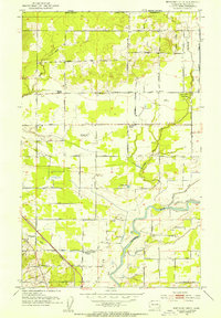
1952 · Bertrand Creek
USGS Topo · 1:24,000
1952 · Birch Point
USGS Topo · 1:24,000
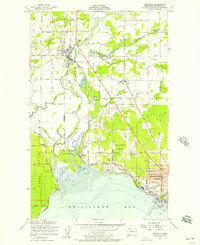
1952 · Ferndale
USGS Topo · 1:24,000
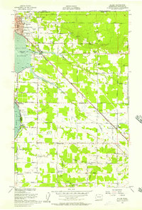
1952 · Blaine
USGS Topo · 1:24,000
1952 · Blaine
USGS Topo · 1:62,500
1957 · Orcas Island
USGS Topo · 1:62,500