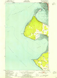
1952 Map of Lummi Bay
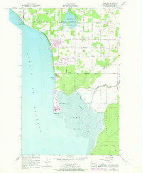
USGS Topo · Published 1974About this map
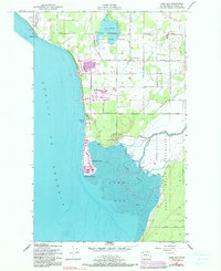
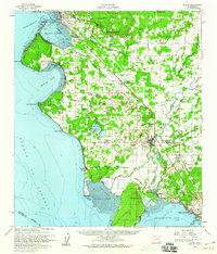
Lummi Indian Reservation lands dominate the southern and eastern portions of this coastal landscape, where the Lummi River and Red River cross the low-lying Lummi Flats toward the shore. The 1972 revisions on this 1952 base map highlight a period of heavy industrialization, specifically the massive Aluminum Plant and Refinery located north of Neptune Beach. These facilities sit in contrast to the rural character of Mountain View and the recreational focus of the State Game Range at Lake Terrell. Along the shoreline of the Strait of Georgia, residential development is visible at Sandy Pt Shores and Sandy Point. The presence of the Burlington Northern railroad and a network of family-named roads like Unick Road and Kwina Road illustrate the local infrastructure connecting these tribal lands and industrial zones.
Find a feature on this map
45 named features on this map. Tap any name to fly to it.
Don’t see what you’re looking for? This feature index may not catch every label — zoom into the map to look around manually.
Map Details
Editions of this 1952 Lummi Bay Map
4 editions found

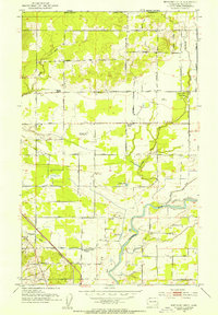
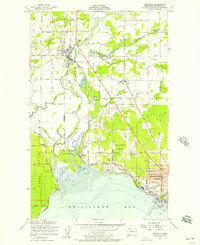
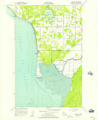
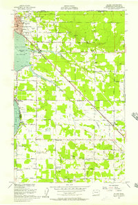
Other maps of this area
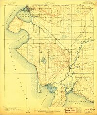
1907 · Blaine
USGS Topo · 1:62,500

1943 · Orcas Island
USGS Topo · 1:62,500

1943 · Anacortes
USGS Topo · 1:62,500

1951 · Anacortes
USGS Topo · 1:62,500
1952 · Bertrand Creek
USGS Topo · 1:24,000
1952 · Birch Point
USGS Topo · 1:24,000
1952 · Ferndale
USGS Topo · 1:24,000
1952 · Lummi Bay
USGS Topo · 1:24,000
1952 · Blaine
USGS Topo · 1:24,000
1952 · Blaine
USGS Topo · 1:62,500