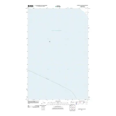
2011 Map of Lummi Bay OE W
USGS Topo · Published 2011About this map
Strait of Georgia dominates this marine-focused survey, providing a clear view of the deep-water shipping lanes and underwater topography northwest of the Washington coast in 2011. The map highlights the position of Alden Bank, a significant shallow feature within the larger strait that has long influenced maritime navigation and local currents. Running across the southern portion of the sheet is the Ketchikan-Bellingham line, marking a primary transit corridor for vessel traffic between Southeast Alaska and the Puget Sound. This document is a specialized study of the offshore environment, focusing on the bathymetric and navigational landmarks essential to the maritime history of the Salish Sea rather than terrestrial settlements.
Find a feature on this map
3 named features on this map. Tap any name to fly to it.
Don’t see what you’re looking for? This feature index may not catch every label — zoom into the map to look around manually.
Map Details
Editions of this 2011 Lummi Bay OE W Map
This is the sole edition of this map. No revisions or reprints were ever made.
Other maps of this area

1907 · Blaine
USGS Topo · 1:62,500

1943 · Orcas Island
USGS Topo · 1:62,500

1943 · Anacortes
USGS Topo · 1:62,500

1951 · Anacortes
USGS Topo · 1:62,500

1952 · Birch Point
USGS Topo · 1:24,000

1952 · Lummi Bay
USGS Topo · 1:24,000

1952 · Blaine
USGS Topo · 1:24,000

1952 · Blaine
USGS Topo · 1:62,500

1957 · Orcas Island
USGS Topo · 1:62,500

1957 · Victoria
USGS Topo · 1:250,000