2000s (21st Century) Maps of Yakima, Washington
Explore 25 historic maps of Yakima from the 2000s (21st Century). These maps offer a rare glimpse into what life looked like during the 2000s — showing old roads, neighborhoods, homes, and landmarks that have changed or disappeared over time.
Whether you're researching your family's past, planning a metal detecting trip, or studying how Yakima's landscape evolved across the 2000s, these high-resolution maps are a powerful tool for exploring the history of this region.
- Focus on a specific era: All maps on this page are from the 2000s, giving you a focused view of this time period.
- See what’s changed: Compare century-old streets, trails, and buildings to today's modern landscape using overlays and satellite layers.
- Research with precision: Use these maps for genealogy, historical research, land use analysis, or educational projects.
- View, download, or print: Maps are fully viewable online in high resolution, and can be downloaded or printed for your own records.
Start exploring Yakima's history through authentic maps from the 2000s. This is your window into the past.
Yakima, WA maps
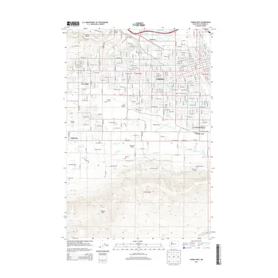
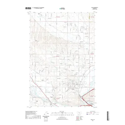
(25)- 2011 Map of Yakima West, 2011 Print
 2011 Yakima West2011 Print · USGSCovers Yakima, including Selah, Union Gap, and other nearby areas
 - 2011 Map of Selah, 2011 Print
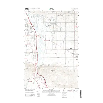
 2011 Selah2011 Print · USGSCovers Yakima, including Selah, Gleed, and other nearby areas
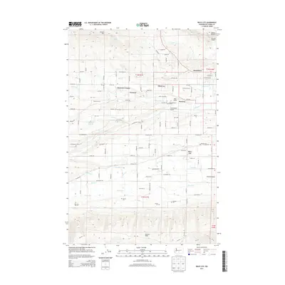
 - 2011 Map of Wiley City, 2011 Print
 2011 Wiley City2011 Print · USGSCovers Yakima, including Summitview, Elliott Ave, and other nearby areas
 - 2011 Map of Pomona, 2011 Print
 2011 Pomona2011 Print · USGSCovers Yakima, including Pomona Heights, East Selah, and other nearby areas
 - 2011 Map of Yakima East, 2011 Print
 2011 Yakima East2011 Print · USGSCovers Yakima, including Union Gap, Moxee, and other nearby areas
 - 2013 Map of Wiley City, 2013 Print
 2013 Wiley City2013 Print · USGSCovers Yakima, including Summitview, Elliott Ave, and other nearby areas
 - 2013 Map of Yakima West, 2013 Print
 2013 Yakima West2013 Print · USGSCovers Yakima, including Selah, Union Gap, and other nearby areas
 - 2013 Map of Pomona, 2013 Print
 2013 Pomona2013 Print · USGSCovers Yakima, including Pomona Heights, East Selah, and other nearby areas
 - 2013 Map of Yakima East, 2013 Print
 2013 Yakima East2013 Print · USGSCovers Yakima, including Union Gap, Moxee, and other nearby areas
 - 2013 Map of Selah, 2013 Print
 2013 Selah2013 Print · USGSCovers Yakima, including Selah, Gleed, and other nearby areas
 - 2017 Map of Wiley City, 2017 Print
 2017 Wiley City2017 Print · USGSCovers Yakima, including Summitview, Elliott Ave, and other nearby areas
 - 2017 Map of Yakima West, 2017 Print
 2017 Yakima West2017 Print · USGSCovers Yakima, including Selah, Union Gap, and other nearby areas
 - 2017 Map of Selah, 2017 Print
 2017 Selah2017 Print · USGSCovers Yakima, including Selah, Gleed, and other nearby areas
 - 2017 Map of Yakima East, 2017 Print
 2017 Yakima East2017 Print · USGSCovers Yakima, including Union Gap, Moxee, and other nearby areas
 - 2017 Map of Pomona, 2017 Print
 2017 Pomona2017 Print · USGSCovers Yakima, including Pomona Heights, East Selah, and other nearby areas
 - 2020 Map of Wiley City, 2020 Print
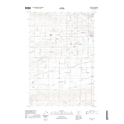 2020 Wiley City2020 Print · USGSCovers Yakima, including Summitview, Elliott Ave, and other nearby areas
 - 2020 Map of Selah, 2020 Print
 2020 Selah2020 Print · USGSCovers Yakima, including Selah, Gleed, and other nearby areas
 - 2020 Map of Yakima East, 2020 Print
 2020 Yakima East2020 Print · USGSCovers Yakima, including Union Gap, Moxee, and other nearby areas
 - 2020 Map of Pomona, 2020 Print
 2020 Pomona2020 Print · USGSCovers Yakima, including Pomona Heights, East Selah, and other nearby areas
 - 2020 Map of Yakima West, 2020 Print
 2020 Yakima West2020 Print · USGSCovers Yakima, including Selah, Union Gap, and other nearby areas
 - 2023 Map of Yakima West, 2023 Print
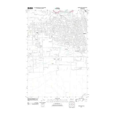
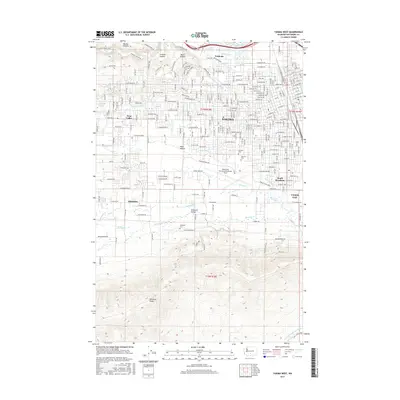
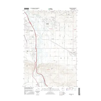
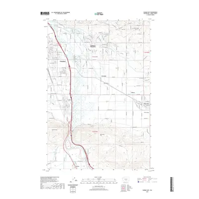
 2023 Yakima West2023 Print · USGSThe western reaches of Yakima and the Ahtanum Valley are mapped here in the early twenty-first century, showing the intersection of urban growth and irrigation history. Researchers can trace the paths of the Ahtanum Canal and find local landmarks like Tahoma Cem and the Yakima County Courthouse.
 - 2023 Map of Wiley City, 2023 Print
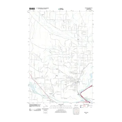
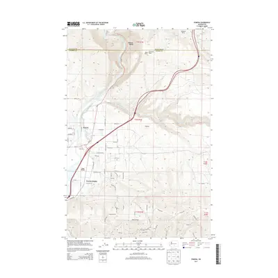
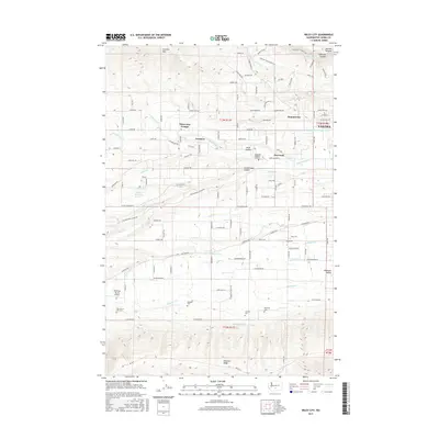
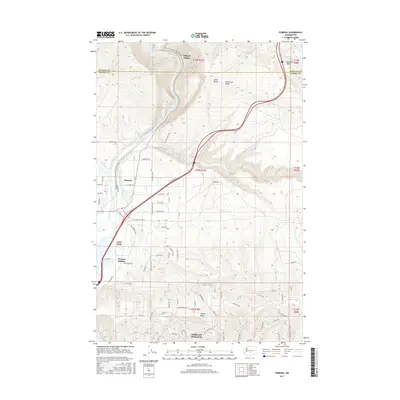
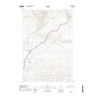
 2023 Wiley City2023 Print · USGSThe agricultural valleys west of Yakima are shown in this recent survey, capturing the network of canals and granges that define local life. Genealogists and researchers can locate several legacy burial grounds, including Saluskin Cem and Sloutier Cem, or trace water routes like Ahtanum Creek.
 - 2023 Map of Selah, 2023 Print
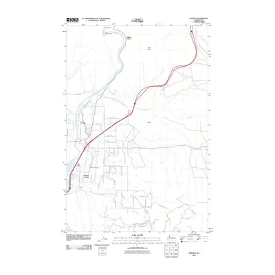
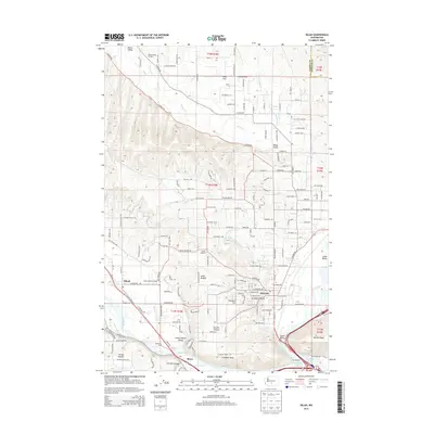
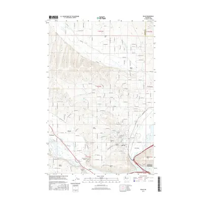
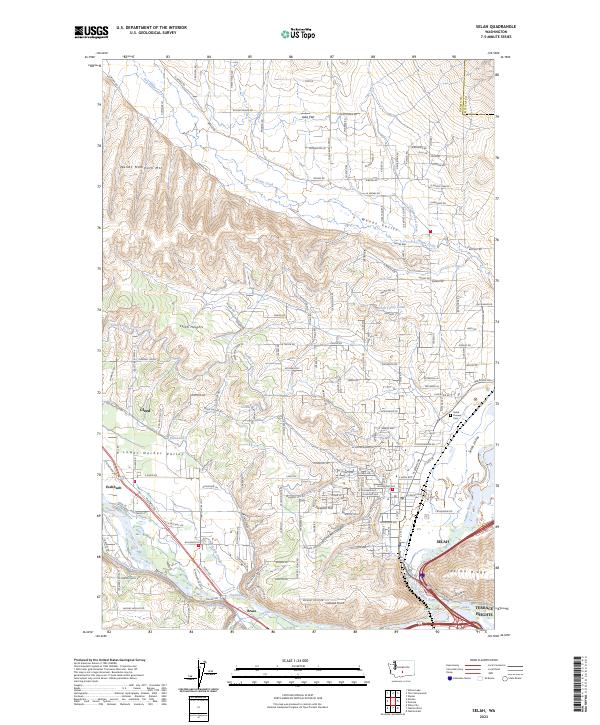 2023 Selah2023 Print · USGSThe confluence of the Naches and Yakima Rivers comes into focus in the early 2020s, revealing a landscape defined by industrial irrigation and orchard-country settlements. Researchers can trace the path of the Selah Valley Canal or locate local landmarks like Selah Pioneer Cem and Wenas Mammoth Mtn.
 - 2023 Map of Pomona, 2023 Print
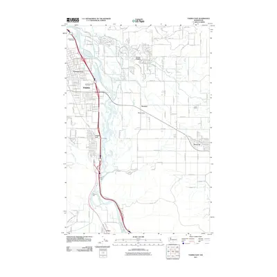
 2023 Pomona2023 Print · USGSNorth of Yakima in the early 2020s, the river and its vital irrigation network supported a landscape of valley settlements and high-desert ridges. Researchers can trace the paths of the Roza Canal and BNSF Railway through Pomona and East Selah.
 - 2023 Map of Yakima East, 2023 Print
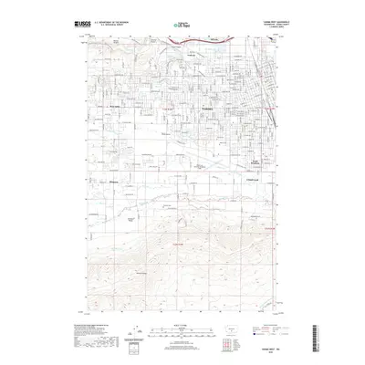
 2023 Yakima East2023 Print · USGSThe Yakima area is shown here in the contemporary era as a complex hub of irrigation and riverfront industry. Researchers can trace historical burial sites at Pioneer Cem or follow the path of the Union Gap Canal and Hubbard Ditch.
End of results
Showing maps 1-25 of 25
Top cities near Yakima
- Toppenish historical maps
- Selah historical maps
- Union Gap historical maps
- Wapato historical maps
- Moxee historical maps
- Ahtanum historical maps
See more
Top neighborhoods of Yakima
- West Valley historical maps
- Washington Park historical maps
- Fruitvale historical maps
- Riverview Manor historical maps
Frequently asked questions
- What are the different types of historical maps available for Yakima?
- What is the oldest map of Yakima?
- Where can I purchase historical maps of Yakima for my home or office?
- Where can I download high-res historical maps of Yakima?
- Are there historical topographic maps available for Yakima?
- Is there historical aerial imagery available for Yakima?
- Where are historical maps of Yakima sourced from?