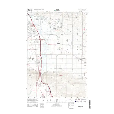
2013 Map of Yakima East
USGS Topo · Published 2013About this map
The Yakima River defines the western corridor of this Yakima Valley landscape, separating the residential expansions of Yakima and Washington Park from the agricultural and hillside developments to the east. The map details a complex irrigation infrastructure essential to the region's orchard and farm economy, including the Selah-Moxee Irrigation Canal, Hubbard Ditch, and Moxee Canal. These waterways navigate the base of Yakima Ridge and Rattlesnake Hills, fueling the growth of outlying communities like Terrace Heights and the valley floors of Birchfield and Moxee City.
Find a feature on this map
93 named features on this map. Tap any name to fly to it.
Don’t see what you’re looking for? This feature index may not catch every label — zoom into the map to look around manually.
Map Details
Editions of this 2013 Yakima East Map
This is the sole edition of this map. No revisions or reprints were ever made.
Other maps of this area

1899 · Ellensburg
USGS Topo · 1:125,000

1901 · Ellensburg
USGS Topo · 1:125,000

1910 · Zillah
USGS Topo · 1:125,000

1936 · Yakima East
USGS Topo · 1:48,000

1937 · White Swan
USGS Topo · 1:125,000

1941 · Yakima East
USGS Topo · 1:62,500

1950 · Yakima
USGS Topo · 1:250,000

1953 · Pomona
USGS Topo · 1:24,000

1953 · Elephant Mountain
USGS Topo · 1:24,000

1953 · Yakima East
USGS Topo · 1:24,000