2010s Maps of Nicholas County, West Virginia
Explore 92 historic maps of Nicholas County from the 2010s. These maps offer a rare glimpse into what life looked like during the 2010s — showing old roads, neighborhoods, homes, and landmarks that have changed or disappeared over time.
Whether you're researching your family's past, planning a metal detecting trip, or studying how Nicholas County's landscape evolved across the 2010s, these high-resolution maps are a powerful tool for exploring the history of this region.
- Focus on a specific era: All maps on this page are from the 2010s, giving you a focused view of this time period.
- See what’s changed: Compare century-old streets, trails, and buildings to today's modern landscape using overlays and satellite layers.
- Research with precision: Use these maps for genealogy, historical research, land use analysis, or educational projects.
- View, download, or print: Maps are fully viewable online in high resolution, and can be downloaded or printed for your own records.
Start exploring Nicholas County's history through authentic maps from the 2010s. This is your window into the past.
Nicholas County, WV maps
(92)- 2010 Map of Little Birch, 2010 Print
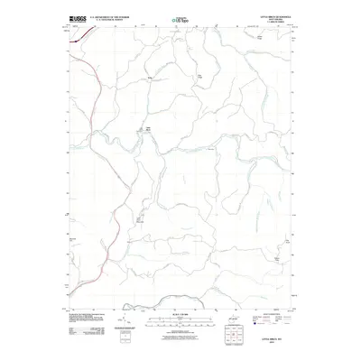 2010 Little Birch2010 Print · USGSLittle Birch and its surrounding Braxton County hollows are captured here in the early twenty-first century. Genealogists and local historians can trace the paths of the Old Turnpike Rd and locate landmarks like the Little Birch Post Office, Tesla, and Barnette Hill.
 - 2010 Map of Tioga, 2010 Print
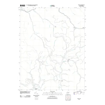 2010 Tioga2010 Print · USGSTioga and the surrounding Nicholas County hill country are documented here as they appeared in 2010. Researchers can trace the layout of small communities like Delphi and Boggs, or locate family sites near the Boggs Cemetery and the Tioga Post Office.
 - 2010 Map of Herold, 2010 Print
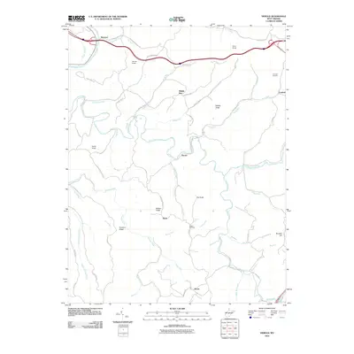 2010 Herold2010 Print · USGSBraxton County’s rugged ridge-and-valley landscape is mapped here in the early twenty-first century, showing the enduring rural layout of the region. Researchers can locate family sites near Canfield Cemetery, the winding Birch River, and small settlements like Herold and Morris.
 - 2010 Map of Summersville, 2010 Print
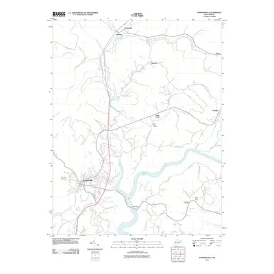 2010 Summersville2010 Print · USGSSummersville and the Gauley River region are shown here in the early 21st century, centered on the waters of the lake. Local historians can trace family locations near the Canvas Post Office, Mount Union Cemetery, and the historic crossing at Brooks Bridge.
 - 2010 Map of Corliss, 2010 Print
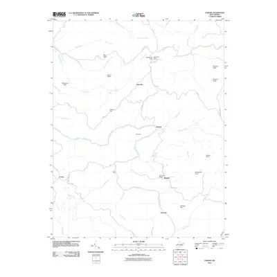 2010 Corliss2010 Print · USGSFayette County’s rural highlands are documented here during the early twenty-first century, showing a landscape shaped by the Meadow River. Researchers can locate historic sites such as the Germany School, the Sugar Grove Lookout Tower, and the waters of The Loop.
 - 2010 Map of Widen, 2010 Print
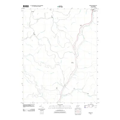 2010 Widen2010 Print · USGSThe rugged coal and timber country of central West Virginia is shown here in the early 2000s, centered on the community of Widen. Researchers can trace local lineage through Butcher Cemetery or locate the historic Dille Post Office and Wattsville.
 - 2010 Map of Strange Creek, 2010 Print
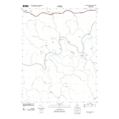 2010 Strange Creek2010 Print · USGSClay County at the start of the 2010s is a landscape of high ridges and deep river valleys defined by the winding Elk River. Genealogists and historians can trace numerous family burial sites and rural post offices, from the Strange Creek Post Office to the Hallburg Cemetery and Snake Knob.
 - 2011 Map of Bentree, 2011 Print
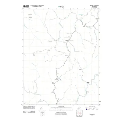 2011 Bentree2011 Print · USGSIn the central West Virginia mountains during the early twenty-first century, this area shows a landscape of ridge-top settlements and deep hollows. Researchers can locate small communities like Adonijah, Cambria, and Dixie, as well as family landmarks including the Holcomb Cemetery and Ida Cemetery.
 - 2011 Map of Lockwood, 2011 Print
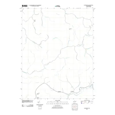 2011 Lockwood2011 Print · USGSNear the Clay and Nicholas county line in the early 2010s, this area shows a landscape defined by narrow hollows and small mining communities. Genealogists and local historians can trace the roads and waterways around Fola, Lockwood, and the Legg Road-Legg Mine.
 - 2011 Map of Ansted, 2011 Print
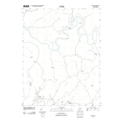 2011 Ansted2011 Print · USGSFayette County in the early 21st century remains a landscape of deep river gorges and high plateau settlements south of the Gauley River. Researchers can trace local landmarks like the Gauley Mountain Lookout Tower, Restlawn Memory Gardens, and the small community of Victor.
 - 2011 Map of Gauley Bridge, 2011 Print
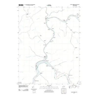 2011 Gauley Bridge2011 Print · USGSNear the confluence of the New and Gauley rivers in the early twenty-first century, this map shows a landscape shaped by water and rail. You can trace family roots at Hill Cemetery or locate old industrial and post sites like the Swiss Post Office and Glen Ferris.
 - 2011 Map of Mount Nebo, 2011 Print
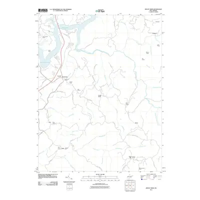 2011 Mount Nebo2011 Print · USGSNicholas County and the area around Summersville Lake are shown here in the early twenty-first century. Researchers can locate several community burial grounds and crossroads, including Gilgal Cemetery, Runa Post Office, and Fowler Knob.
 - 2011 Map of Winona, 2011 Print
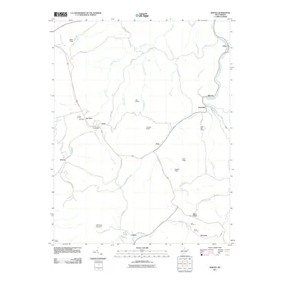 2011 Winona2011 Print · USGSFayette County’s high ridges and river valleys are captured here as they appeared in the early twenty-first century. Researchers can locate family heritage sites like Jennette Cemetery and Amick Cemetery or trace the settlements of Lookout, Winona, and Clifftop.
 - 2011 Map of Swandale, 2011 Print
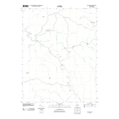 2011 Swandale2011 Print · USGSClay County's creek valleys and high ridges are captured here during the early twenty-first century. Genealogists and local researchers can trace family landmarks like Kyle Cemetery and Acree Cemetery or locate the site of the Pond Ridge Lookout Tower.
 - 2011 Map of Summersville Dam, 2011 Print
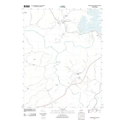 2011 Summersville Dam2011 Print · USGSNicholas County at the turn of the decade shows a landscape shaped by the deep Gauley River gorge and the massive waters of Summersville Lake. Local historians can trace family connections through sites like the Zoar Cemetery and the post offices at Keslers Cross Lanes and Mount Lookout.
 - 2011 Map of Gilboa, 2011 Print
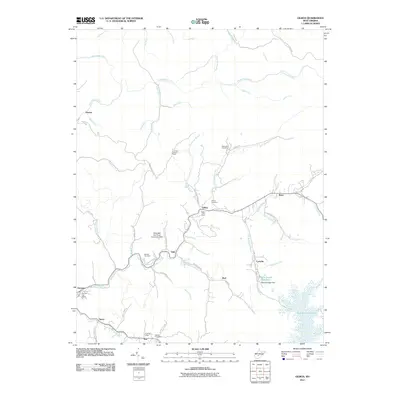 2011 Gilboa2011 Print · USGSNicholas County settlements and rural post offices are preserved here as they appeared in the early 21st century. Researchers can locate family landmarks like Keenan Cemetery and historic local hubs such as Gilboa Post Office or the Lone Star Lookout Tower.
 - 2011 Map of Camden On Gauley, 2011 Print
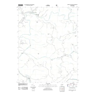 2011 Camden On Gauley2011 Print · USGSNicholas County settlements and river forks are captured here in the early twenty-first century, showing the area's deep-rooted mountain communities. Genealogists can trace family landmarks like Russell Cemetery and Williams Cemetery or the historic rail siding at Harris Siding.
 - 2011 Map of Quinwood, 2011 Print
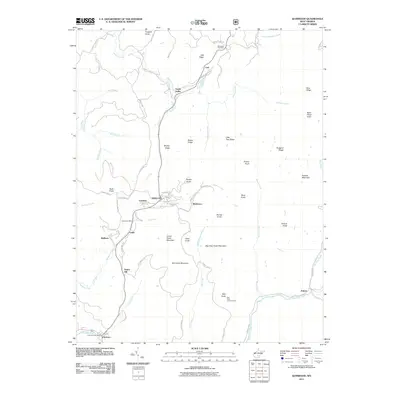 2011 Quinwood2011 Print · USGSWest Virginia coal country comes into focus in this early twenty-first-century survey of the rugged Quinwood area. Researchers can trace the network of settlements like Marfrance, Bellburn, and Anjean nestled between high points like Rich Knob Lookout Tower and Pollock Mountain.
 - 2011 Map of Craigsville, 2011 Print
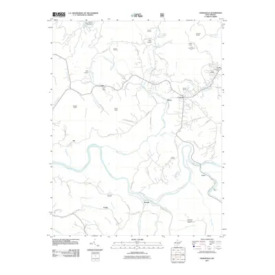 2011 Craigsville2011 Print · USGSNicholas County at the start of the 2010s shows a landscape of river-valley settlements and hilltop overlooks. Researchers can locate family landmarks like Mullens Cemetery or trace industrial markers like the Coal Siding and Cottle Knob Lookout Tower.
 - 2011 Map of Nettie, 2011 Print
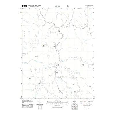 2011 Nettie2011 Print · USGSNicholas County settlements and family cemeteries are documented here in the early twenty-first century. Genealogists can trace local roots through the Penile Cemetery, Fields Cemetery, and the historic Nettie Post Office in the heart of the community.
 - 2011 Map of Fork Mountain, 2011 Print
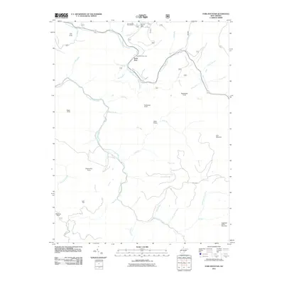 2011 Fork Mountain2011 Print · USGSThe forks of the Cherry River and the high knobs of Greenbrier County are documented here in the early twenty-first century. Researchers can trace the topography of North Bend, explore the area around Summit Lake, and locate landmarks like Bearwallow Knob and Manning Knob.
 - 2011 Map of Webster Springs SW, 2011 Print
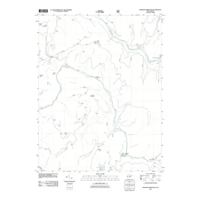 2011 Webster Springs SW2011 Print · USGSGreenbrier County’s high ridges and river forks are shown here as they appeared in the early 2010s. Researchers can locate remote mountain landmarks such as Red Oak Lookout Tower, the Blacks Chapel Cemetery, and Cranberry Campground.
 - 2011 Map of Richwood, 2011 Print
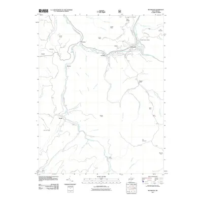 2011 Richwood2011 Print · USGSRichwood and its neighboring river settlements are captured here in the early twenty-first century as they trace the winding Cherry River valley. Researchers can locate family burial sites at Richwood Cemetery or trace old home sites near Saxman and Jetsville.
 - 2014 Map of Corliss, 2014 Print
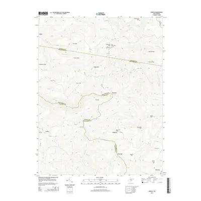 2014 Corliss2014 Print · USGSThe West Virginia highlands meet at the border of Fayette and Greenbrier counties in this mid-2010s survey. Researchers can trace family history at Sugar Grove Cem, locate the remote Sugar Grove Lookout Tower, or find the river crossing at Rader Ford.
 - 2014 Map of Strange Creek, 2014 Print
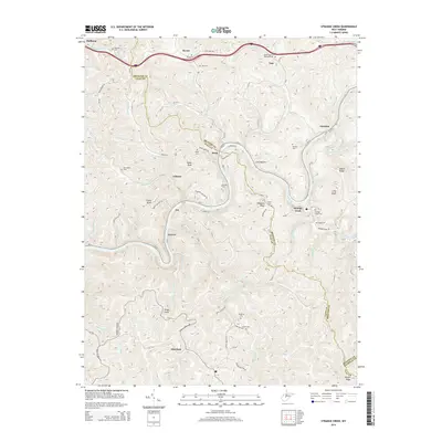 2014 Strange Creek2014 Print · USGSClay and Braxton Counties are shown here during the early twenty-first century, centered on the winding corridor of the Elk River. Genealogists and local historians can locate numerous family burial sites, including the Goad Cem, Turner Cem, and Point Cem near Servia.
Showing maps 1-25 of 92
Top cities of Nicholas County
- Summersville historical maps
- Richwood historical maps
- Craigsville historical maps
- Persinger Ford historical maps
- Groves Ford historical maps
Frequently asked questions
- What are the different types of historical maps available for Nicholas County?
- What is the oldest map of Nicholas County?
- Where can I purchase historical maps of Nicholas County for my home or office?
- Where can I download high-res historical maps of Nicholas County?
- Are there historical topographic maps available for Nicholas County?
- Is there historical aerial imagery available for Nicholas County?
- Where are historical maps of Nicholas County sourced from?