2010s Maps of Pocahontas County, West Virginia
Explore 112 historic maps of Pocahontas County from the 2010s. These maps offer a rare glimpse into what life looked like during the 2010s — showing old roads, neighborhoods, homes, and landmarks that have changed or disappeared over time.
Whether you're researching your family's past, planning a metal detecting trip, or studying how Pocahontas County's landscape evolved across the 2010s, these high-resolution maps are a powerful tool for exploring the history of this region.
- Focus on a specific era: All maps on this page are from the 2010s, giving you a focused view of this time period.
- See what’s changed: Compare century-old streets, trails, and buildings to today's modern landscape using overlays and satellite layers.
- Research with precision: Use these maps for genealogy, historical research, land use analysis, or educational projects.
- View, download, or print: Maps are fully viewable online in high resolution, and can be downloaded or printed for your own records.
Start exploring Pocahontas County's history through authentic maps from the 2010s. This is your window into the past.
Pocahontas County, WV maps
(112)- 2011 Map of Woodrow, 2011 Print
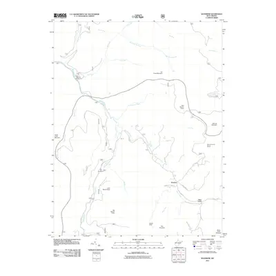 2011 Woodrow2011 Print · USGSThe high-country terrain of Pocahontas County is documented here in the early twenty-first century, showing the forest and river systems. Researchers can trace local landmarks like Woodrow and West Union or locate Tea Creek Campground along the Williams River.
 - 2011 Map of Sharp Knob, 2011 Print
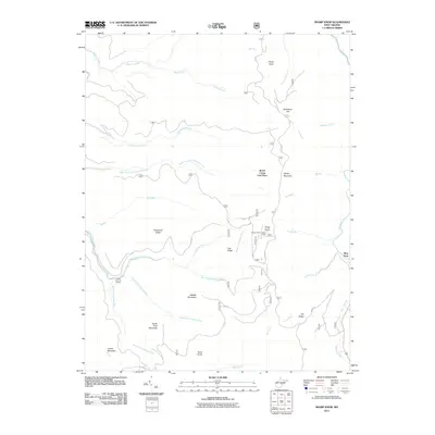 2011 Sharp Knob2011 Print · USGSRandolph County's high ridges and river headwaters are captured in detail here at the start of the twenty-first century. Researchers can trace the source of the Gauley River system and locate specific mountain landmarks like the Sharps Knob Lookout Tower and Slaty Fork.
 - 2011 Map of Edray, 2011 Print
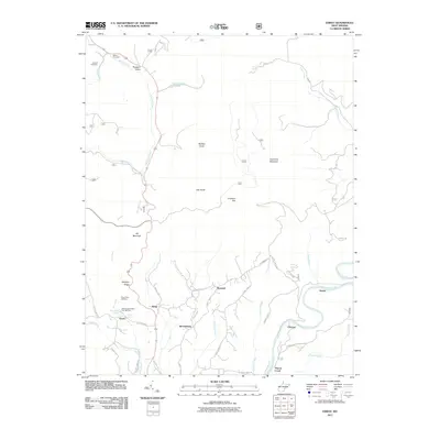 2011 Edray2011 Print · USGSPocahontas County highlands and the Greenbrier River valley are revealed in detail during the early 2010s. Local history researchers can trace family names at Hannah Cemetery or locate the Edray Trout Hatchery and settlements like Warwick and Brownsburg.
 - 2011 Map of Bergoo, 2011 Print
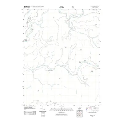 2011 Bergoo2011 Print · USGSHigh in the Appalachian plateau of Webster County, this early twenty-first-century survey shows a landscape of deep river valleys and prominent ridges. Researchers can trace local genealogy and land use near Bergoo, the Meadowland Cemetery, and small settlements like Jerryville and Parcoal.
 - 2011 Map of Lake Sherwood, 2011 Print
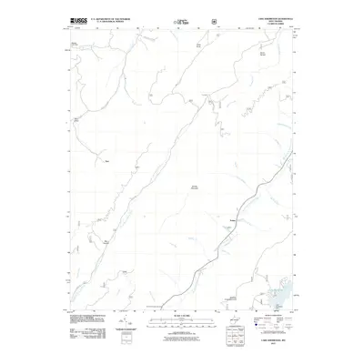 2011 Lake Sherwood2011 Print · USGSGreenbrier County's high ridges and creek valleys are captured here in the early twenty-first century. Researchers can trace historic spots like Columbia Sulphur Springs and the small settlement of Trainer near the waters of Lake Sherwood.
 - 2011 Map of Webster Springs SE, 2011 Print
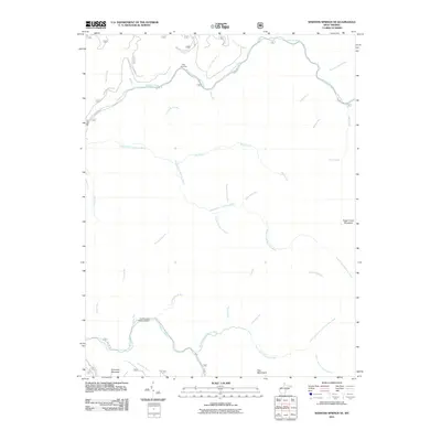 2011 Webster Springs SE2011 Print · USGSWebster County's deep wilderness is documented here in the early twenty-first century, showcasing a landscape defined by the Williams and Cranberry rivers. Researchers can locate remote landmarks like Tumbling Rock Camping Shelter and trace the steep terrain of Sugar Creek Mountain and the Yew Mountains.
 - 2011 Map of Durbin, 2011 Print
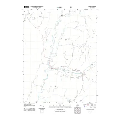 2011 Durbin2011 Print · USGSPocahontas County at the turn of the decade shows a landscape where high ridges meet the forks of the Greenbrier River. Genealogists can locate family burial grounds like Goodsell Cemetery and Saint Mark Cemetery or trace the path of Old Pike Rd.
 - 2011 Map of Wildell, 2011 Print
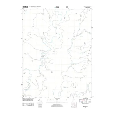 2011 Wildell2011 Print · USGSPocahontas County’s high mountain drainages are captured here in the early twenty-first century, showing a landscape defined by forestry and river headwaters. Researchers can locate the small communities of Wildell and May alongside the Enviro Energy Mine and the Wildell Shelter.
 - 2011 Map of Thornwood, 2011 Print
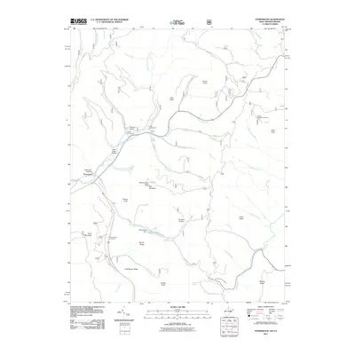 2011 Thornwood2011 Print · USGSThe West Virginia highlands near the Virginia border come into focus in the early 2000s, showing a landscape of high ridges and protected river forks. Researchers can trace local landmarks like Camp Pocahontas, the Buffalo Fork Dam, and the winding East Fork Greenbrier River.
 - 2011 Map of Sinks of Gandy, 2011 Print
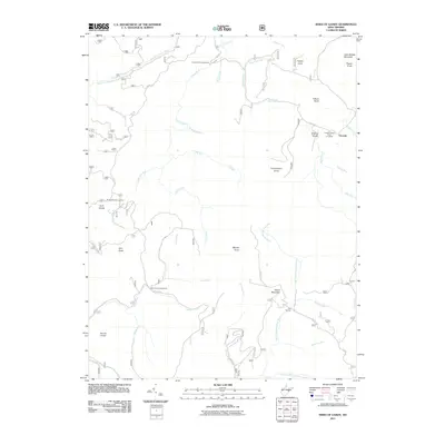 2011 Sinks of Gandy2011 Print · USGSThe West Virginia highlands in the early twenty-first century are defined by their complex river headwaters and high-altitude forest recreation. Researchers can trace the rugged topography of Sinks of Gandy while locating landmarks like Osceola and Middle Mountain Cabins.
 - 2011 Map of Minnehaha Springs, 2011 Print
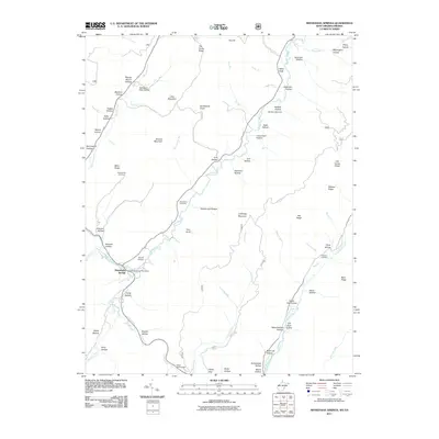 2011 Minnehaha Springs2011 Print · USGSMinnehaha Springs and the surrounding hollows of Pocahontas County are captured here in the early twenty-first century. Researchers can trace family-named landmarks and local burial sites like Shinaberry Cemetery, McLaughlin Cemetery, and the Minnehaha Springs Post Office.
 - 2011 Map of Green Bank, 2011 Print
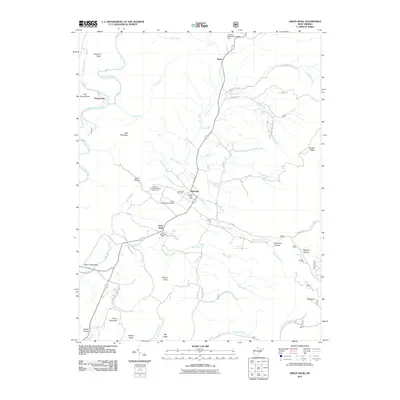 2011 Green Bank2011 Print · USGSPocahontas County’s high valleys are captured here in the early twenty-first century, centered on the unique scientific landscape of the National Radio Astronomy Observatory. Genealogists and local historians can locate Arbovale Cemetery and trace old family settlements from Hosterman to Hamilton Hollow.
 - 2011 Map of Spruce Knob, 2011 Print
 2011 Spruce Knob2011 Print · USGSThe high peaks of the Allegheny Mountains and the settlement of Cherry Grove are the focus of this survey at the start of the 2010s. Researchers can trace the drainage of the North Fork South Branch Potomac River and locate mountain landmarks like the Gatewood Lookout Tower and Spruce Knob.
 - 2011 Map of Snyder Knob, 2011 Print
 2011 Snyder Knob2011 Print · USGSRandolph County's high ridges and river valleys are captured here in the early twenty-first century. Researchers can trace family landmarks and mountain crossings near Fort Milroy Cemetery, Cheat Bridge, and the waters of Shavers Fork.
 - 2011 Map of Cass, 2011 Print
 2011 Cass2011 Print · USGSPocahontas County at the start of the 2010s shows a landscape defined by the Greenbrier River and high mountain ridges. Researchers can trace historic sites like the Wanless Cemetery, the Bald Knob Lookout Tower, and the settlement at Cass.
 - 2011 Map of Mustoe, 2011 Print
 2011 Mustoe2011 Print · USGSHighland County mountain communities come into focus in the early twenty-first century as they follow the contours of the Jackson River. Researchers can locate family landmarks like Fairview Cemetery or trace the narrow passes through Mill Gap and Vanderpool Gap.
 - 2011 Map of Mountain Grove, 2011 Print
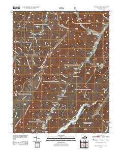 2011 Mountain Grove2011 Print · USGSThe Virginia and West Virginia borderlands are documented here in the early twenty-first century, showcasing the remote mountain valleys and river crossings of the Alleghenies. Researchers can locate family-named landmarks and historical sites like Schoolhouse Hollow, Mooretown, and the Mcclintic Bridge.
 - 2011 Map of Snowy Mountain, 2011 Print
 2011 Snowy Mountain2011 Print · USGSThe West Virginia and Virginia borderlands come into focus in the early 2000s, showing the high-elevation settlements of the Potomac highlands. Researchers can trace family history through the Blue Grass Cemetery or locate old homesteads near Hardscrabble and Devils Backbone.
 - 2011 Map of Paddy Knob, 2011 Print
 2011 Paddy Knob2011 Print · USGSThe Virginia and West Virginia state line cuts across this highland terrain as it appeared in the early 2000s. Researchers can locate numerous family burial sites such as Lindsay Cemetery and Gragg Cemetery or trace the high peaks at Paddy Knob.
 - 2011 Map of Marlinton, 2011 Print
 2011 Marlinton2011 Print · USGSThe Pocahontas County seat and surrounding mountain ridges are documented here in the early twenty-first century. Genealogists can locate family names in Mountain View Cemetery or Messir Cemetery, while tracing the development of Marlinton, Stillwell, and Huntersville.
 - 2011 Map of Lobelia, 2011 Print
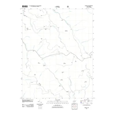 2011 Lobelia2011 Print · USGSIn the highlands of West Virginia, this 2011 survey shows the ridges and deep drainages of the Monongahela National Forest. Researchers can trace the backcountry roads to Lobelia and Dogway, or locate forest landmarks like the Briery Knob Lookout Tower and Eagles Camp.
 - 2011 Map of Hillsboro, 2011 Print
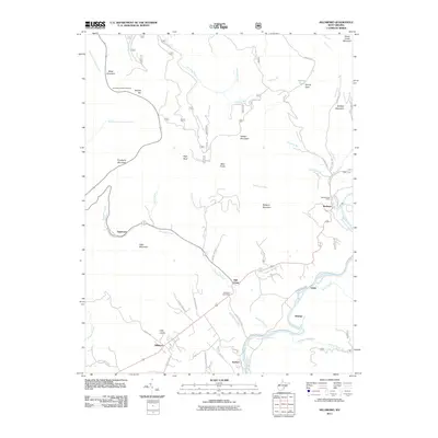 2011 Hillsboro2011 Print · USGSThe community of Hillsboro and the high valleys of the Little Levels are captured here in the early twenty-first century. Genealogists and hikers can trace family-named roads like Rose Rd or explore riverfront settlements including Seebert, Watoga, and Buckeye.
 - 2011 Map of Hightown, 2011 Print
 2011 Hightown2011 Print · USGSHighland County terrain at the start of the 2010s reveals a landscape defined by the Eastern Continental Divide and early Appalachian settlements. Genealogists and hikers can trace family names at Mount Hobart Cemetery or explore the gap at Hightown near the headwaters of the Jackson River.
 - 2011 Map of Droop, 2011 Print
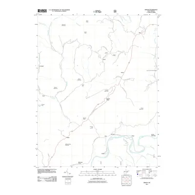 2011 Droop2011 Print · USGSGreenbrier and Pocahontas counties come together at this high mountain pass in the early twenty-first century. Researchers can trace rural landmarks from the Locust Creek Covered Bridge to the historic grounds of Droop Mountain Battlefield State Park.
 - 2011 Map of Clover Lick, 2011 Print
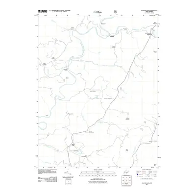 2011 Clover Lick2011 Print · USGSPocahontas County in the early twenty-first century remains a landscape of river-valley settlements and high ridges. Genealogists and local historians can trace family-named sites like Dilleys Mill, the Bethel Cemetery, and the Dunmore Post Office.
Showing maps 1-25 of 112
Top cities of Pocahontas County
Frequently asked questions
- What are the different types of historical maps available for Pocahontas County?
- What is the oldest map of Pocahontas County?
- Where can I purchase historical maps of Pocahontas County for my home or office?
- Where can I download high-res historical maps of Pocahontas County?
- Are there historical topographic maps available for Pocahontas County?
- Is there historical aerial imagery available for Pocahontas County?
- Where are historical maps of Pocahontas County sourced from?