2000s (21st Century) Maps of Tucker County, West Virginia
Explore 80 historic maps of Tucker County from the 2000s (21st Century). These maps offer a rare glimpse into what life looked like during the 2000s — showing old roads, neighborhoods, homes, and landmarks that have changed or disappeared over time.
Whether you're researching your family's past, planning a metal detecting trip, or studying how Tucker County's landscape evolved across the 2000s, these high-resolution maps are a powerful tool for exploring the history of this region.
- Focus on a specific era: All maps on this page are from the 2000s, giving you a focused view of this time period.
- See what’s changed: Compare century-old streets, trails, and buildings to today's modern landscape using overlays and satellite layers.
- Research with precision: Use these maps for genealogy, historical research, land use analysis, or educational projects.
- View, download, or print: Maps are fully viewable online in high resolution, and can be downloaded or printed for your own records.
Start exploring Tucker County's history through authentic maps from the 2000s. This is your window into the past.
Tucker County, WV maps
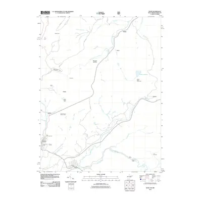
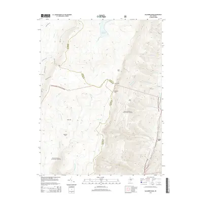
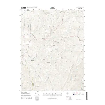
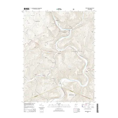
(80)- 2011 Map of Fellowsville, 2011 Print
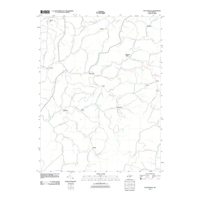 2011 Fellowsville2011 Print · USGSCovers Tucker County, including Pleasant Valley, Scotch Hill, and other nearby areas
 - 2011 Map of Mount Storm Lake, 2011 Print
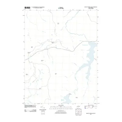 2011 Mount Storm Lake2011 Print · USGSCovers Tucker County, including Grant County, United States, and other nearby areas
 - 2011 Map of Blackwater Falls, 2011 Print
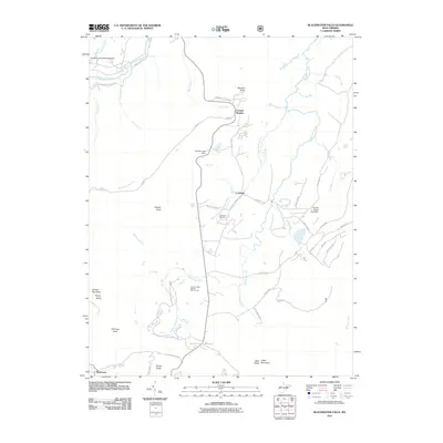 2011 Blackwater Falls2011 Print · USGSCovers Tucker County, including Davis, Thomas, and other nearby areas
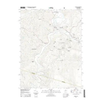
 - 2011 Map of Parsons, 2011 Print
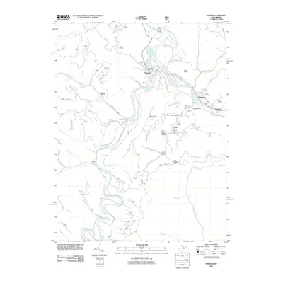 2011 Parsons2011 Print · USGSCovers Tucker County, including Parsons, Hendricks, and other nearby areas
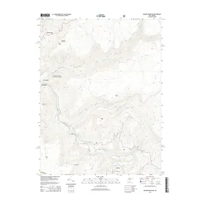
 - 2011 Map of Mozark Mountain, 2011 Print
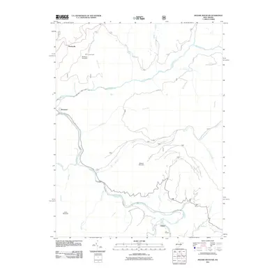 2011 Mozark Mountain2011 Print · USGSCovers Tucker County, including Thomas, Hendricks, and other nearby areas
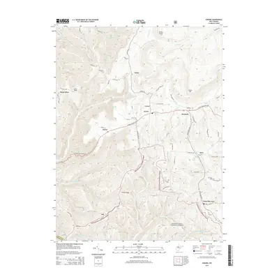
 - 2011 Map of Harman, 2011 Print
 2011 Harman2011 Print · USGSCovers Tucker County, including Harman, Dryfork, and other nearby areas
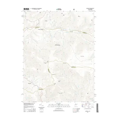
 - 2011 Map of Laneville, 2011 Print
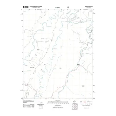
 2011 Laneville2011 Print · USGSCovers Tucker County, including Harperton, Stringtown, and other nearby areas
 - 2011 Map of Hopeville, 2011 Print
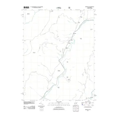 2011 Hopeville2011 Print · USGSCovers Tucker County, including Hopeville, Ketterman, and other nearby areas
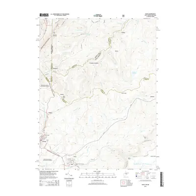
 - 2011 Map of Davis, 2011 Print
 2011 Davis2011 Print · USGSCovers Tucker County, including Davis, Thomas, and other nearby areas
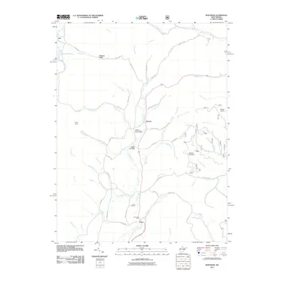
 - 2011 Map of Aurora, 2011 Print
 2011 Aurora2011 Print · USGSCovers Tucker County, including Horse Shoe Run, Eglon, and other nearby areas
 - 2011 Map of Lead Mine, 2011 Print
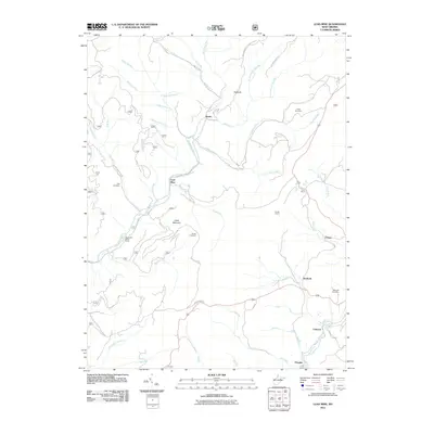 2011 Lead Mine2011 Print · USGSCovers Tucker County, including Thomas, Shafer, and other nearby areas
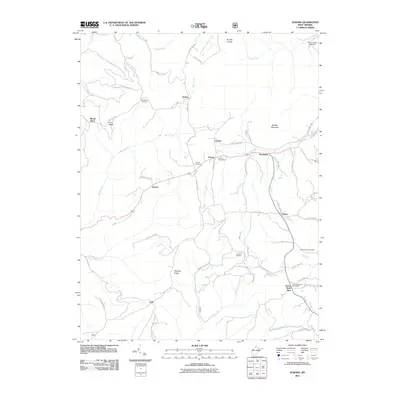
 - 2011 Map of Montrose, 2011 Print
 2011 Montrose2011 Print · USGSCovers Tucker County, including Montrose, Smith Crossing, and other nearby areas
 - 2011 Map of Blackbird Knob, 2011 Print
 2011 Blackbird Knob2011 Print · USGSCovers Tucker County, including Jordan Run, Grant County, and other nearby areas
 - 2011 Map of Rowlesburg, 2011 Print
 2011 Rowlesburg2011 Print · USGSCovers Tucker County, including Rowlesburg, Macomber, and other nearby areas
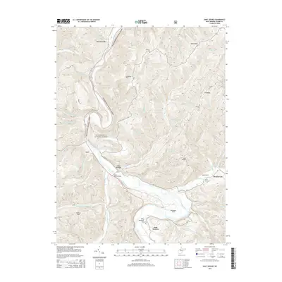
 - 2011 Map of Saint George, 2011 Print
 2011 Saint George2011 Print · USGSCovers Tucker County, including Location, Hannahsville, and other nearby areas
 - 2011 Map of Colebank, 2011 Print
 2011 Colebank2011 Print · USGSCovers Tucker County, including Colebank, Hovatter, and other nearby areas
 - 2014 Map of Blackbird Knob, 2014 Print
 2014 Blackbird Knob2014 Print · USGSCovers Tucker County, including Jordan Run, Grant County, and other nearby areas
 - 2014 Map of Parsons, 2014 Print
 2014 Parsons2014 Print · USGSCovers Tucker County, including Parsons, Hendricks, and other nearby areas
 - 2014 Map of Aurora, 2014 Print
 2014 Aurora2014 Print · USGSCovers Tucker County, including Horse Shoe Run, Eglon, and other nearby areas
 - 2014 Map of Mozark Mountain, 2014 Print
 2014 Mozark Mountain2014 Print · USGSCovers Tucker County, including Thomas, Hendricks, and other nearby areas
 - 2014 Map of Fellowsville, 2014 Print
 2014 Fellowsville2014 Print · USGSCovers Tucker County, including Pleasant Valley, Scotch Hill, and other nearby areas
 - 2014 Map of Davis, 2014 Print
 2014 Davis2014 Print · USGSCovers Tucker County, including Davis, Thomas, and other nearby areas
 - 2014 Map of Saint George, 2014 Print
 2014 Saint George2014 Print · USGSCovers Tucker County, including Location, Hannahsville, and other nearby areas
 - 2014 Map of Laneville, 2014 Print
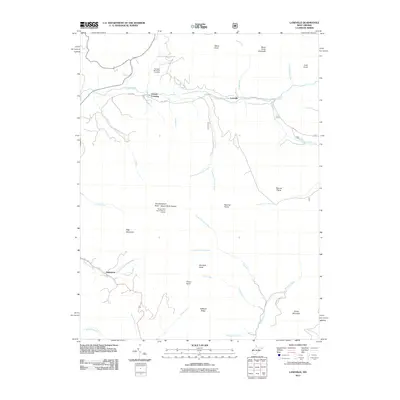
 2014 Laneville2014 Print · USGSCovers Tucker County, including Harperton, Stringtown, and other nearby areas
 - 2014 Map of Rowlesburg, 2014 Print
 2014 Rowlesburg2014 Print · USGSCovers Tucker County, including Rowlesburg, Macomber, and other nearby areas
Showing maps 1-25 of 80
Top cities of Tucker County
- Parsons historical maps
- Davis historical maps
- Thomas historical maps
- Hendricks historical maps
- Hambleton historical maps
Frequently asked questions
- What are the different types of historical maps available for Tucker County?
- What is the oldest map of Tucker County?
- Where can I purchase historical maps of Tucker County for my home or office?
- Where can I download high-res historical maps of Tucker County?
- Are there historical topographic maps available for Tucker County?
- Is there historical aerial imagery available for Tucker County?
- Where are historical maps of Tucker County sourced from?