2010s Maps of Tucker County, West Virginia
Explore 64 historic maps of Tucker County from the 2010s. These maps offer a rare glimpse into what life looked like during the 2010s — showing old roads, neighborhoods, homes, and landmarks that have changed or disappeared over time.
Whether you're researching your family's past, planning a metal detecting trip, or studying how Tucker County's landscape evolved across the 2010s, these high-resolution maps are a powerful tool for exploring the history of this region.
- Focus on a specific era: All maps on this page are from the 2010s, giving you a focused view of this time period.
- See what’s changed: Compare century-old streets, trails, and buildings to today's modern landscape using overlays and satellite layers.
- Research with precision: Use these maps for genealogy, historical research, land use analysis, or educational projects.
- View, download, or print: Maps are fully viewable online in high resolution, and can be downloaded or printed for your own records.
Start exploring Tucker County's history through authentic maps from the 2010s. This is your window into the past.
Tucker County, WV maps
(64)- 2011 Map of Fellowsville, 2011 Print
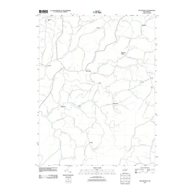 2011 Fellowsville2011 Print · USGSPreston County's winding hollows and ridge-top settlements are captured here in the early twenty-first century. Genealogists can trace family footprints through sites like Blackwood Cemetery or follow historic routes such as the Old Evansville Pike.
 - 2011 Map of Mount Storm Lake, 2011 Print
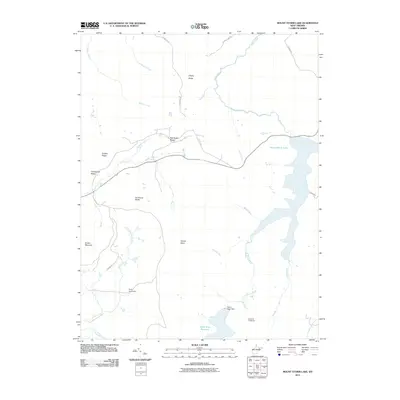 2011 Mount Storm Lake2011 Print · USGSTucker County's high ridges and river headwaters are captured here during the early twenty-first century as modern reservoirs integrated with older camp sites. Genealogists and hikers can trace the paths around Ice House Rocks, Camp Seventytwo, and the Stony River Reservoir.
 - 2011 Map of Blackwater Falls, 2011 Print
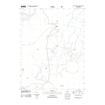 2011 Blackwater Falls2011 Print · USGSCanaan Valley and the high ridges of Tucker County are documented here in the early twenty-first century. Researchers can trace the layout of mountain settlements like Cortland and Canaan Heights, or locate specific landmarks like Cortland Cemetery and Blackwater Falls.
 - 2011 Map of Parsons, 2011 Print
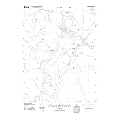 2011 Parsons2011 Print · USGSThe river confluence at Parsons and Hendricks comes into sharp focus during the early twenty-first century. Genealogists and local historians can trace family roots through numerous burial grounds like Fansler Cemetery or locate historical industry at Channels Mill.
 - 2011 Map of Mozark Mountain, 2011 Print
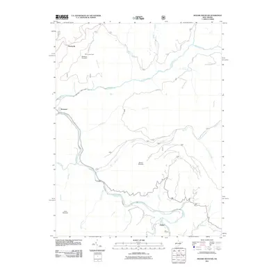 2011 Mozark Mountain2011 Print · USGSTucker County's high ridges and river forks are captured here in the early twenty-first century. Researchers can trace family sites and landmarks like Teter Cemetery, the heights of Mozark Mountain, and the small settlement at Mackeyville.
 - 2011 Map of Harman, 2011 Print
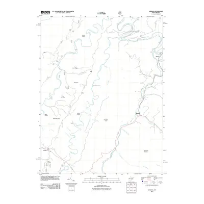 2011 Harman2011 Print · USGSThe mountain valleys of Randolph County appear in detail here during the early 2010s, showing the enduring character of its river settlements. Genealogists and historians can trace family-named sites like Kerns Cemetery and the Dry Fork Post Office along the Glady Fork.
 - 2011 Map of Laneville, 2011 Print
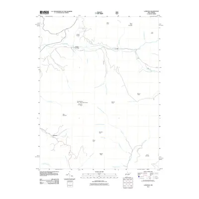 2011 Laneville2011 Print · USGSThe high peaks and remote hollows of Randolph County are mapped here in the early 2000s, showcasing a landscape of isolated settlements and prominent knobs. Researchers can locate the Flanagan Memorial Cemetery or trace the paths of Red Creek and Roaring Creek.
 - 2011 Map of Hopeville, 2011 Print
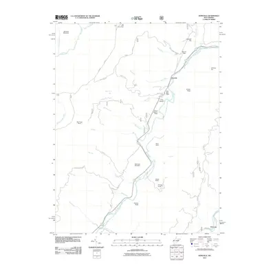 2011 Hopeville2011 Print · USGSGrant County’s high mountain ridges and river valleys are captured here in the early twenty-first century as they were managed for recreation and conservation. Genealogists and hikers can trace old routes like Smoke Hole Rd and locate landmarks such as the Bell Knob Lookout Tower and Hopeville Gap.
 - 2011 Map of Davis, 2011 Print
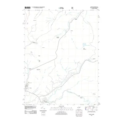 2011 Davis2011 Print · USGSThe West Virginia and Maryland border comes alive in this early 21st-century study of the high Appalachian plateau. Genealogists and historians can trace family roots through Thomas Cemetery or locate old rail-side hamlets like Henry and Kempton Junction.
 - 2011 Map of Aurora, 2011 Print
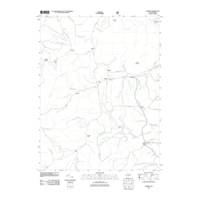 2011 Aurora2011 Print · USGSPreston County's high-country settlements are documented in the early twenty-first century as they were before modern development shifted rural life. Researchers can locate legacy family sites and burial grounds like Accident Cemetery, the Aurora Post Office, and the small community of Eglon.
 - 2011 Map of Lead Mine, 2011 Print
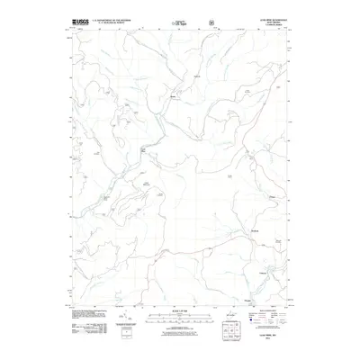 2011 Lead Mine2011 Print · USGSTucker County at the start of the 2010s reveals a landscape shaped by mining history and mountain river runs. Researchers can trace family roots at Knotts Cemetery and Rose Hill Cemetery or locate old industrial sites near Coketon and Douglas.
 - 2011 Map of Montrose, 2011 Print
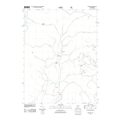 2011 Montrose2011 Print · USGSRandolph County's mountain valleys were deeply established by the early 2000s, centered around the Leading Creek drainage. Researchers can locate family landmarks like the Leading Creek Primitive Baptist Cemetery and the Kerens Post Office or trace old routes through Smith Crossing.
 - 2011 Map of Blackbird Knob, 2011 Print
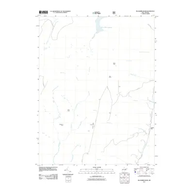 2011 Blackbird Knob2011 Print · USGSThe high plateau of eastern West Virginia is documented here in the early twenty-first century, centered on the unique wilderness of Dolly Sods. Researchers can trace the headwaters of the Stony River and locate landmarks like Stack Rock and the settlement at Jordan Run.
 - 2011 Map of Rowlesburg, 2011 Print
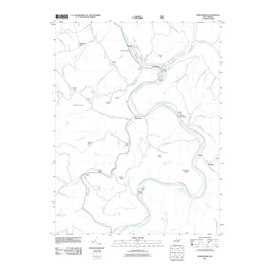 2011 Rowlesburg2011 Print · USGSPreston County's river-and-rail corridor is captured here during the early twenty-first century as it follows the winding Cheat River. Genealogists and local historians can trace family burial sites like Knotts Family Cemetery or landmark crossings such as the Cheat River Covered Bridge.
 - 2011 Map of Saint George, 2011 Print
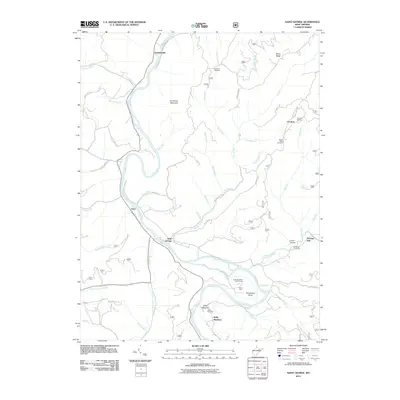 2011 Saint George2011 Print · USGSTucker County's mountain valleys are documented here in the early twenty-first century, centered on the riverbanks of Saint George. Researchers can trace rural cemeteries like Bonifield Cemetery and Bethel Cemetery or the winding path of the Cheat River.
 - 2011 Map of Colebank, 2011 Print
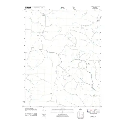 2011 Colebank2011 Print · USGSColebank and the surrounding Preston County highlands are captured here in the early twenty-first century. Genealogists and local historians can locate the Kasson Post Office, Shiloh Cemetery, and family landmarks near Texas Mountain and Sandy Creek.
 - 2014 Map of Blackbird Knob, 2014 Print
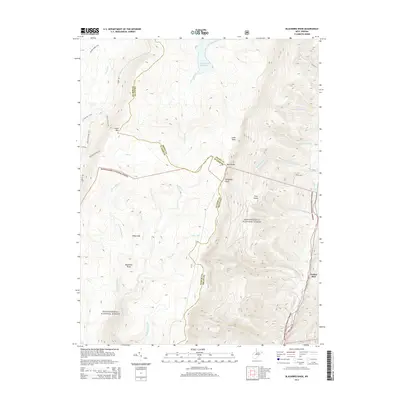 2014 Blackbird Knob2014 Print · USGSThe high plateau of West Virginia is documented here in the early twenty-first century as it sits within the Monongahela National Forest. Researchers can trace the trails and ridgelines of Dolly Sods, the waters of Stony River Reservoir, and the remote heights of Blackbird Knob.
 - 2014 Map of Parsons, 2014 Print
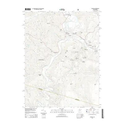 2014 Parsons2014 Print · USGSThe confluence of the Shavers Fork and Blackwater River centers this 2010s survey of the mountain corridor between Parsons and Hendricks. Researchers can trace local heritage through numerous family burial sites like Collett Cem and Goff Cem, or locate crossings at Jobs Ford.
 - 2014 Map of Aurora, 2014 Print
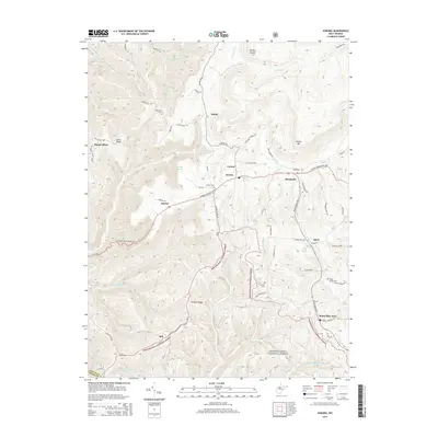 2014 Aurora2014 Print · USGSPreston County's high ridges and national forest lands are shown here in the early twenty-first century. Researchers can trace rural cemeteries like Accident Cem and Belleview Cem or locate the settlements of Aurora and Horse Shoe Run.
 - 2014 Map of Mozark Mountain, 2014 Print
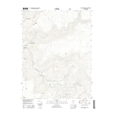 2014 Mozark Mountain2014 Print · USGSTucker County's high ridges and river forks are captured here in the early twenty-first century, showing the enduring mountain landscape of the Monongahela National Forest. Trace family roots and local landmarks from Hendricks to Gladwin, including the Teter Cem and the prominent Olson Lookout Tower.
 - 2014 Map of Fellowsville, 2014 Print
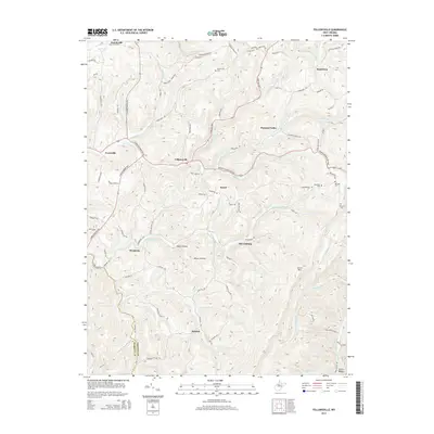 2014 Fellowsville2014 Print · USGSPreston and Barbour counties are captured in the mid-2010s, showing a landscape of high ridges and winding valley roads. Researchers can locate family landmarks like Blackwood Cem and Bolyard Cem or trace the old routes through Fellowsville and Marquess.
 - 2014 Map of Davis, 2014 Print
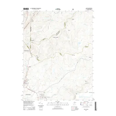 2014 Davis2014 Print · USGSThe Potomac highlands near Thomas and Davis are shown in detail during the twenty-first century, featuring the high ridges of Backbone Mountain. Local historians can trace the border settlements of Kempton and Fairfax or locate family markers at Thomas Cem.
 - 2014 Map of Saint George, 2014 Print
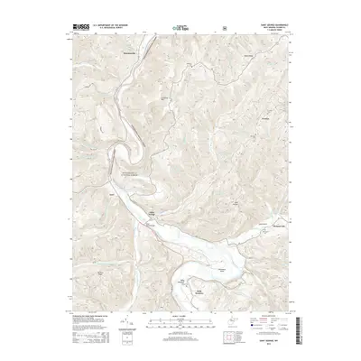 2014 Saint George2014 Print · USGSThe Cheat River valley in Tucker County comes into focus in this modern survey of the Monongahela National Forest. Genealogists and researchers can trace family lands near Saint George, Hannahsville, and Holly Meadows, or locate rural burial sites like Bethel Cem and Fairview Cem.
 - 2014 Map of Laneville, 2014 Print
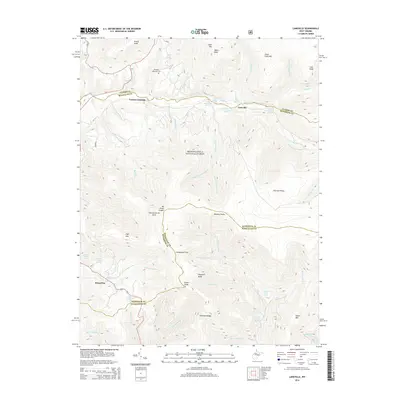 2014 Laneville2014 Print · USGSHigh ridges and family farm springs define this part of the West Virginia highlands in the early twenty-first century. Researchers can trace local lineage through the Flanagan Memorial Cem or locate old homestead sites near Arbogast Farm Spring and Laneville.
 - 2014 Map of Rowlesburg, 2014 Print
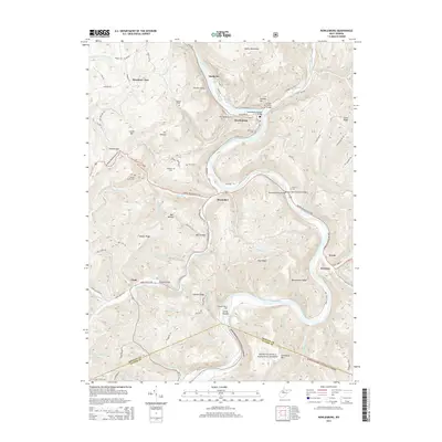 2014 Rowlesburg2014 Print · USGSRowlesburg and the Cheat River valley are shown here in the early twenty-first century, revealing a landscape of steep ridges and historic river crossings. Researchers can trace family history at Knotts Family Cem and Deakins Cem or locate the Cheat River Covered Bridge near Macomber.
Showing maps 1-25 of 64
Top cities of Tucker County
- Parsons historical maps
- Davis historical maps
- Thomas historical maps
- Hendricks historical maps
- Hambleton historical maps
Frequently asked questions
- What are the different types of historical maps available for Tucker County?
- What is the oldest map of Tucker County?
- Where can I purchase historical maps of Tucker County for my home or office?
- Where can I download high-res historical maps of Tucker County?
- Are there historical topographic maps available for Tucker County?
- Is there historical aerial imagery available for Tucker County?
- Where are historical maps of Tucker County sourced from?