2000s (21st Century) Maps of Preston, Wisconsin
Explore 20 historic maps of Preston from the 2000s (21st Century). These maps offer a rare glimpse into what life looked like during the 2000s — showing old roads, neighborhoods, homes, and landmarks that have changed or disappeared over time.
Whether you're researching your family's past, planning a metal detecting trip, or studying how Preston's landscape evolved across the 2000s, these high-resolution maps are a powerful tool for exploring the history of this region.
- Focus on a specific era: All maps on this page are from the 2000s, giving you a focused view of this time period.
- See what’s changed: Compare century-old streets, trails, and buildings to today's modern landscape using overlays and satellite layers.
- Research with precision: Use these maps for genealogy, historical research, land use analysis, or educational projects.
- View, download, or print: Maps are fully viewable online in high resolution, and can be downloaded or printed for your own records.
Start exploring Preston's history through authentic maps from the 2000s. This is your window into the past.
Preston, WI maps
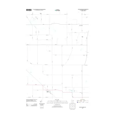
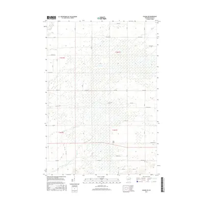
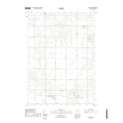
(20)- 2010 Map of Roche A Cri, 2010 Print
 2010 Roche A Cri2010 Print · USGSCovers Preston, including Strongs Prairie, Big Flats, and other nearby areas
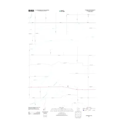
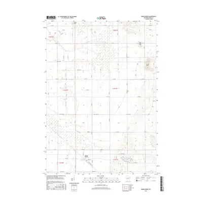
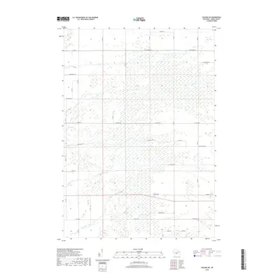
 - 2010 Map of Coloma SW, 2010 Print
 2010 Coloma SW2010 Print · USGSCovers Preston, including Big Flats, Richfield, and other nearby areas
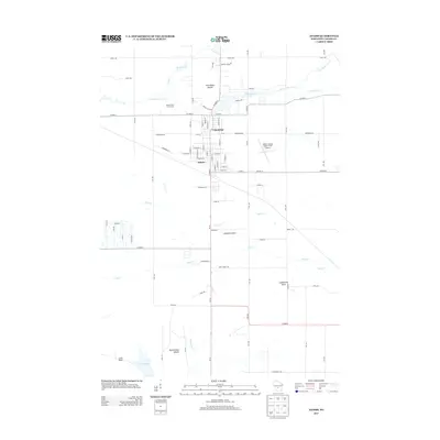
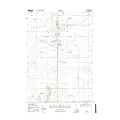
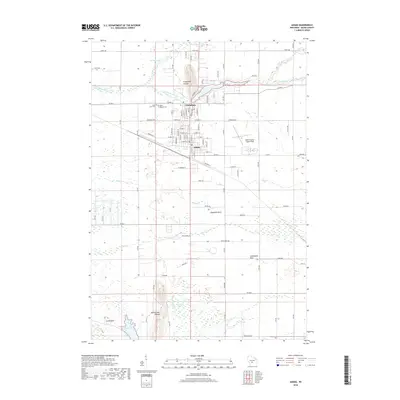
 - 2010 Map of Adams, 2010 Print
 2010 Adams2010 Print · USGSCovers Preston, including Adams, Easton, and other nearby areas
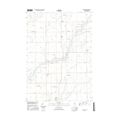
 - 2010 Map of Grand Marsh, 2010 Print
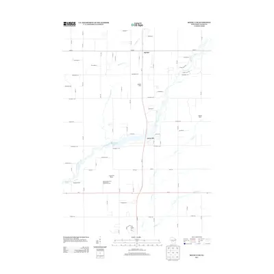
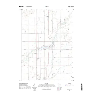
 2010 Grand Marsh2010 Print · USGSCovers Preston, including Easton, Richfield, and other nearby areas
 - 2013 Map of Grand Marsh, 2013 Print
 2013 Grand Marsh2013 Print · USGSCovers Preston, including Easton, Richfield, and other nearby areas
 - 2013 Map of Adams, 2013 Print
 2013 Adams2013 Print · USGSCovers Preston, including Adams, Easton, and other nearby areas
 - 2013 Map of Roche A Cri, 2013 Print
 2013 Roche A Cri2013 Print · USGSCovers Preston, including Strongs Prairie, Big Flats, and other nearby areas
 - 2013 Map of Coloma SW, 2013 Print
 2013 Coloma SW2013 Print · USGSCovers Preston, including Big Flats, Richfield, and other nearby areas
 - 2015 Map of Coloma SW, 2015 Print
 2015 Coloma SW2015 Print · USGSCovers Preston, including Big Flats, Richfield, and other nearby areas
 - 2015 Map of Roche A Cri, 2015 Print
 2015 Roche A Cri2015 Print · USGSCovers Preston, including Strongs Prairie, Big Flats, and other nearby areas
 - 2016 Map of Adams, 2016 Print
 2016 Adams2016 Print · USGSCovers Preston, including Adams, Easton, and other nearby areas
 - 2016 Map of Grand Marsh, 2016 Print
 2016 Grand Marsh2016 Print · USGSCovers Preston, including Easton, Richfield, and other nearby areas
 - 2018 Map of Adams, 2018 Print
 2018 Adams2018 Print · USGSCovers Preston, including Adams, Easton, and other nearby areas
 - 2018 Map of Roche A Cri, 2018 Print
 2018 Roche A Cri2018 Print · USGSCovers Preston, including Strongs Prairie, Big Flats, and other nearby areas
 - 2018 Map of Coloma SW, 2018 Print
 2018 Coloma SW2018 Print · USGSCovers Preston, including Big Flats, Richfield, and other nearby areas
 - 2018 Map of Grand Marsh, 2018 Print
 2018 Grand Marsh2018 Print · USGSCovers Preston, including Easton, Richfield, and other nearby areas
 - 2022 Map of Coloma SW, 2022 Print
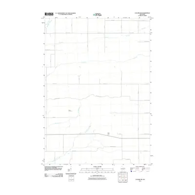
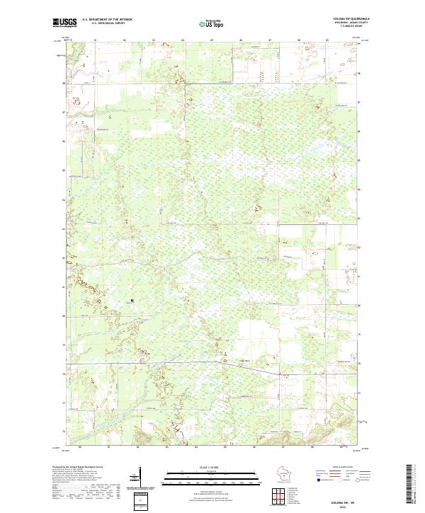 2022 Coloma SW2022 Print · USGSAdams County is documented here during the early twenty-first century, showing a landscape of sprawling wetlands and rural tracts. Genealogists and local historians can locate Indian Cem or trace the drainage of Little Roche-a-Cri Cr and Ship Rock.
 - 2022 Map of Grand Marsh, 2022 Print
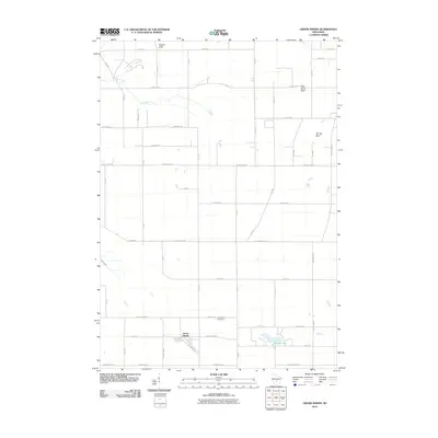
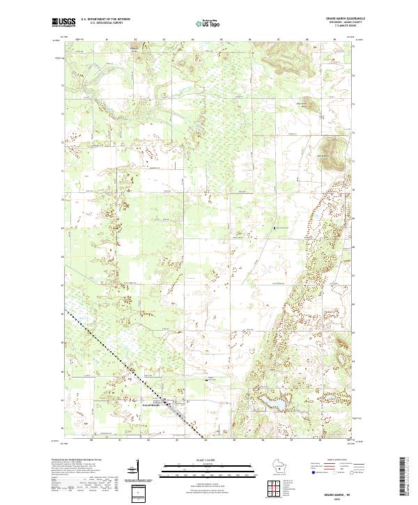 2022 Grand Marsh2022 Print · USGSGrand Marsh and the surrounding Adams County countryside are documented here during the early 2020s, showing a landscape of sandstone bluffs and marshlands. Researchers can locate family sites near Pine Grove Cem or trace the geography of Preston Cliffs and Spring Bluff.
 - 2022 Map of Adams, 2022 Print
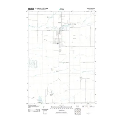
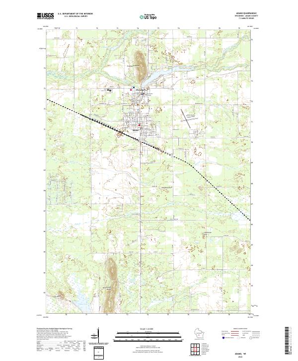 2022 Adams2022 Print · USGSThe adjacent towns of Friendship and Adams are shown in this contemporary study of central Wisconsin, where the Adams County Courthouse and local cemeteries reflect decades of community growth. Researchers can trace landforms like Friendship Mound and Tammarack Swamp, or locate local landmarks including Saint Leo's Cem and Lighthouse Rock.
 - 2022 Map of Roche A Cri, 2022 Print
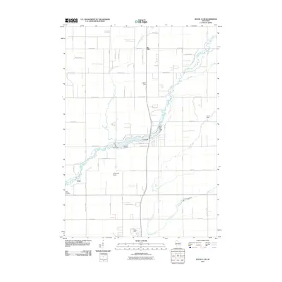
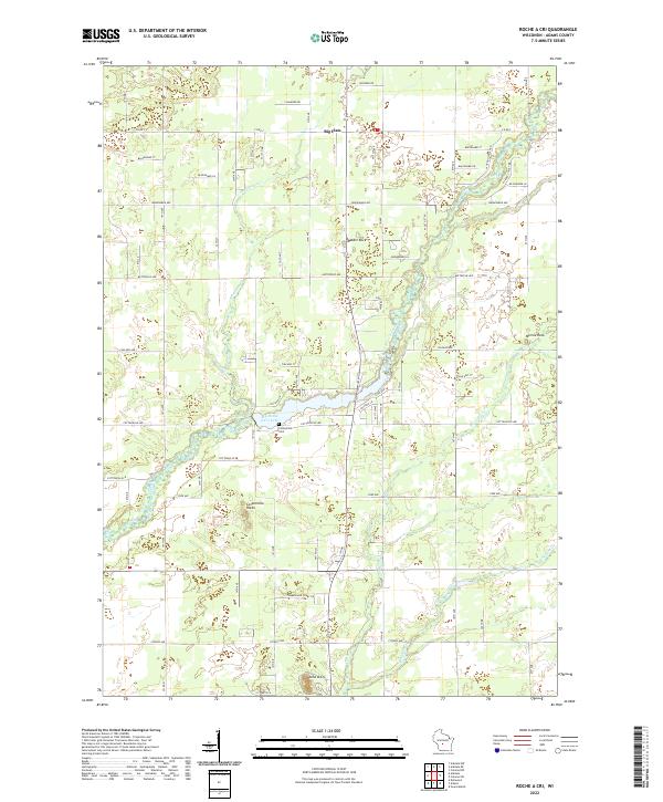 2022 Roche A Cri2022 Print · USGSAdams County’s landscape of sandstone outcrops and creek beds is documented here in the early twenty-first century. Genealogists and local historians can trace the area around Big Roche a Cri Lake, identifying the Cottonville Cem and landmarks like Rabbit Rock.
End of results
Showing maps 1-20 of 20
Top cities near Preston
- Adams historical maps
- Lemonweir historical maps
- Easton historical maps
- Strongs Prairie historical maps
- Big Flats historical maps
- Friendship historical maps
See more
Top neighborhoods of Preston
Frequently asked questions
- What are the different types of historical maps available for Preston?
- What is the oldest map of Preston?
- Where can I purchase historical maps of Preston for my home or office?
- Where can I download high-res historical maps of Preston?
- Are there historical topographic maps available for Preston?
- Is there historical aerial imagery available for Preston?
- Where are historical maps of Preston sourced from?