Old Maps of Preston, Wisconsin for Genealogy
Trace your family roots with 34 historic maps of Preston. These high-res maps reveal old neighborhoods, homesites, landmarks, and streets — helping you uncover where your ancestors lived and how the area evolved over time.
- Explore historic neighborhoods: Identify where your relatives may have lived in the 1800s or 1900s.
- Compare maps over time: Trace the changes in streets, buildings, and landmarks for multi-generational research.
- Perfect for genealogy & ancestry research: Used by family historians and researchers to map out lineage and migration.
These maps are an incredible resource for exploring your personal connection to Preston's past.
Preston, WI maps
(34)- 1955 Map of Green Bay, 1968 Print
 1955 Green Bay1968 Print · USGSCentral and Eastern Wisconsin are captured here in the mid-fifties, showing the industrial growth of the Fox Valley and Wisconsin River corridors. Genealogists and historians can trace rail lines like the Green Bay and Western through settlements like Weyauwega, Clintonville, and Pulaski.2 unique versions available
 - 1957 Map of Madison, 1967 Print
 1957 Madison1967 Print · USGSSouth-central Wisconsin in the mid-fifties reveals a landscape of industrial hubs and glacial lakes linked by a dense rail and highway network. Genealogists and historians can trace the development of lakeside communities and find notable sites like Badger Ordnance Works and the Horicon National Wildlife Refuge.3 unique versions available
 - 1958 Map of Arkdale, 1960 Print
 1958 Arkdale1960 Print · USGSIn the late fifties, the central Wisconsin landscape of Adams County was defined by the massive Petenwell Flowage and rural farming life. Genealogists can trace family names at Violet Lawn Sch, Spring Branch Cem, and the settlement of Arkdale.
 - 1958 Map of Coloma, 1960 Print
 1958 Coloma1960 Print · USGSThe Central Wisconsin sand plains are shown during the late 1950s as small towns like Plainfield and Coloma flourished along the Chicago and North Western rail line. Genealogists can locate rural schoolhouses such as Rathermel Sch and family landmarks like Owens Rock.
 - 1960 Map of Madison
 1960 Madison1960 Print · USGSCentral and Southern Wisconsin are captured in the late fifties, showing the region as its rail-and-river network matured. Trace the paths of the Soo Line RR or locate family roots near Lake Mendota and Horicon National Wildlife Refuge.2 unique versions available
 - 1961 Map of Oxford, 1963 Print
 1961 Oxford1963 Print · USGSMarquette and Adams counties are shown here in the early sixties, a landscape of glacial lakes and small farming townships. Genealogists and historians can trace the locations of St Methodius Ch, Lincoln Sch, and the winding Chicago and North Western rail line.2 unique versions available
 - 1961 Map of Adams, 1963 Print
 1961 Adams1963 Print · USGSCentral Wisconsin at the start of the sixties reveals a landscape shaped by the Castle Rock Flowage and prominent glacial mounds. Researchers can locate vanished rural landmarks like Castle Rock Sch, the Woodside Ranch, and historic country cemeteries.2 unique versions available
 - 1967 Map of Roche A Cri, 1969 Print
 1967 Roche A Cri1969 Print · USGSThe sandstone bluffs and prairie flats of Adams County are captured here in the late sixties, during the peak of the region's mid-century rural development. Trace local landmarks like Rabbit Rock, the Pineland Sch, and the quiet Cottonville Cem along the creek.2 unique versions available
 - 1968 Map of Coloma SW, 1971 Print
 1968 Coloma SW1971 Print · USGSAdams County’s wetland landscapes are captured here in the late sixties, showing the intersection of four townships amidst a network of glacial creeks. Local historians can locate the Indian Cem or trace the geography around Ship Rock and Big Roche a Cri Creek.2 unique versions available
 - 1979 Map of Grand Marsh
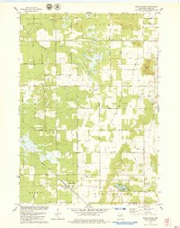 1979 Grand Marsh1979 Print · USGSGrand Marsh and its surrounding townships are shown here in the late seventies as the Chicago and North Western railway still served the local community. Genealogists can locate family landmarks like St Methodius Ch, Lincoln Sch, and Gould Rock Cem.2 unique versions available
 - 1983 Map of Adams, 1984 Print
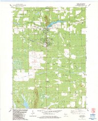 1983 Adams1984 Print · USGSThe twin settlements of Friendship and Adams are shown in the early eighties as the railroad and the river shaped the local economy. Researchers can locate local burial grounds such as St Leos Cem, trace the Chicago and North Western tracks, or explore the area around Friendship Mound.
 - 1985 Map of Wisconsin Dells
 1985 Wisconsin Dells1985 Print · USGSCentral Wisconsin in the mid-eighties was a landscape of intricate river bends, rail junctions, and sprawling marshlands. Researchers can trace historic routes along the Soo Line or locate family landmarks near Lyndon Station, Buffalo Lake, and Puckaway Lake.
 - 1985 Map of Wisconsin Rapids
 1985 Wisconsin Rapids1985 Print · USGSCentral Wisconsin in the mid-eighties shows a landscape of engineered waterways and active rail corridors between Wisconsin Rapids and Waupaca. Genealogists and researchers can trace local landmarks like Roche A Cri State Park, the SOO LINE, and small settlements like Coddington or Rudolph.2 unique versions available
 - 1990 Map of Wisconsin Dells, 1991 Print
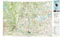 1990 Wisconsin Dells1991 Print · USGSCentral Wisconsin's river valleys and lake country are captured in detail here during the late twentieth century. Researchers can trace the rail-and-water geography connecting Wisconsin Dells and Portage with landmarks like Blackhawk Island and Buffalo Lake.
 - 2010 Map of Roche A Cri, 2010 Print
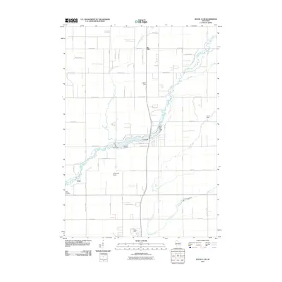 2010 Roche A Cri2010 Print · USGSCentral Wisconsin geography at the turn of the decade is defined by the winding Big Roche a Cri Creek and the wooded surrounds of Big Flats. Genealogists and historians can locate the Cottonville Cemetery and landmarks like Rabbit Rock.
 - 2010 Map of Coloma SW, 2010 Print
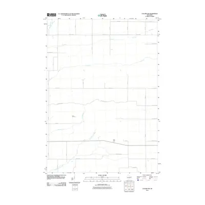 2010 Coloma SW2010 Print · USGSWisconsin’s central sand plains are captured here in the early 21st century, showing a rural landscape defined by glacial creeks and straight country roads. Researchers can locate the Indian Cemetery and the prominent Ship Rock landmark along the winding course of Little Roche a Cri Creek.
 - 2010 Map of Adams, 2010 Print
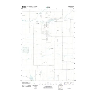 2010 Adams2010 Print · USGSThe interconnected communities of Adams and Friendship are shown here in the early twenty-first century, surrounded by unique geologic formations. Researchers can locate Mount Repose Cemetery, the Friendship 2WP745 Dam, and distinctive landmarks like Lighthouse Rock.
 - 2010 Map of Grand Marsh, 2010 Print
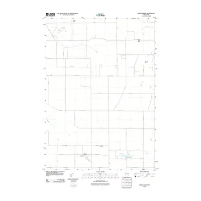 2010 Grand Marsh2010 Print · USGSGrand Marsh and the surrounding Adams County townships are documented here during the early twenty-first century. Genealogists and researchers can trace local landmarks like Gould Rock Cemetery, the waters of Patrick Lake, and the heights of Preston Cliffs.
 - 2013 Map of Grand Marsh, 2013 Print
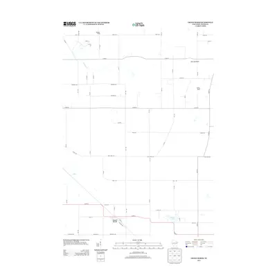 2013 Grand Marsh2013 Print · USGSThe rural landscape of Adams County is captured here in the early twenty-first century, centered on the small community of Grand Marsh. Researchers can trace the local drainage of Fordham Cr and locate prominent regional landmarks like Preston Cliffs and Patrick Lake.
 - 2013 Map of Adams, 2013 Print
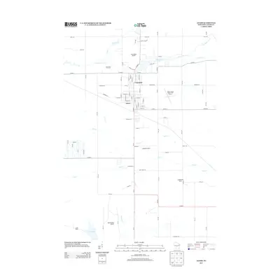 2013 Adams2013 Print · USGSCentral Wisconsin life at the start of the 2010s is centered here on the interconnected hubs of Friendship and Adams. Researchers can trace the local landscape from the Adams County Legion Field Airport to prominent landmarks like Friendship Mound and Houghton Rock.
 - 2013 Map of Roche A Cri, 2013 Print
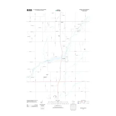 2013 Roche A Cri2013 Print · USGSAdams County at the start of the 2010s reveals a landscape of striking rock formations and glacial waterways. Genealogists and local historians can trace the rural layouts of Cottonville and Big Flats, or locate landmarks like Rabbit Rock and Zanadu Airport.
 - 2013 Map of Coloma SW, 2013 Print
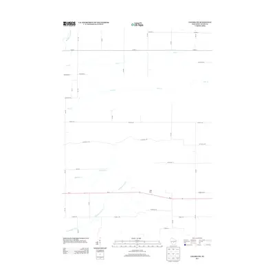 2013 Coloma SW2013 Print · USGSAdams County in the early twenty-first century is defined by its rural grid and winding waterways. Trace the paths of Little Roche a Cri Cr and Carter Cr, or locate landmarks like Ship Rock along the WI-21 corridor.
 - 2015 Map of Coloma SW, 2015 Print
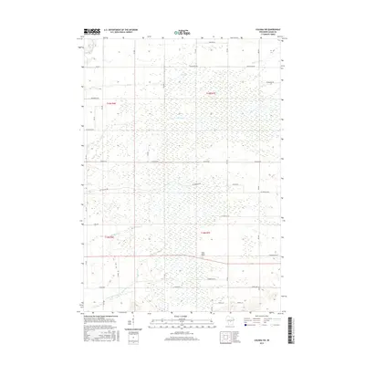 2015 Coloma SW2015 Print · USGSAdams County’s rural landscape is documented here in the mid-2010s, showing a grid of country roads and low-lying wetlands. Researchers can trace the courses of Big Roche a Cri Creek and Little Roche a Cri Cr or locate the landmark at Ship Rock.
 - 2015 Map of Roche A Cri, 2015 Print
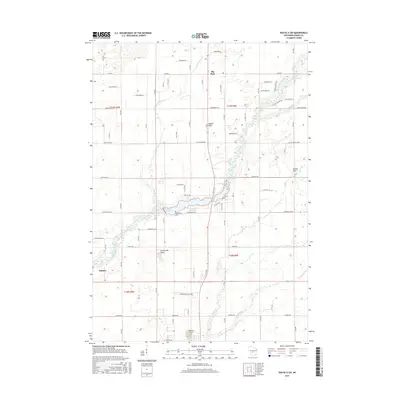 2015 Roche A Cri2015 Print · USGSAdams County in the mid-2010s reveals a landscape of winding creeks and rural settlements centered around the Big Roche a Cri drainage. Genealogists and researchers can locate family sites near Arkdale, Big Flats, and the Cottonville Cem.
 - 2016 Map of Adams, 2016 Print
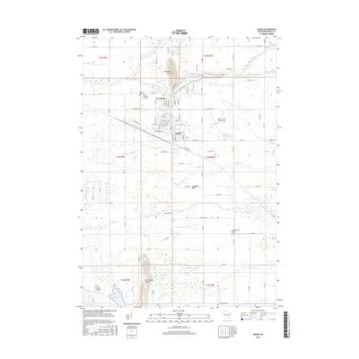 2016 Adams2016 Print · USGSThe adjacent communities of Friendship and Adams are shown in detail during the mid-2010s, surrounded by the area's distinctive glacial geology. Researchers can locate family sites at Saint Leos Cem or trace the drainage of Little Roche a Cri Cr past Friendship Mound.
Showing maps 1-25 of 34
Top cities near Preston
- Adams historical maps
- Lemonweir historical maps
- Easton historical maps
- Strongs Prairie historical maps
- Big Flats historical maps
- Friendship historical maps
See more
Top neighborhoods of Preston
Frequently asked questions
- What are the different types of historical maps available for Preston?
- What is the oldest map of Preston?
- Where can I purchase historical maps of Preston for my home or office?
- Where can I download high-res historical maps of Preston?
- Are there historical topographic maps available for Preston?
- Is there historical aerial imagery available for Preston?
- Where are historical maps of Preston sourced from?