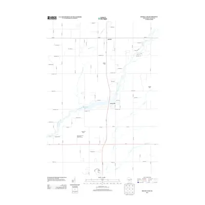
2013 Map of Roche A Cri
USGS Topo · Published 2013About this map
Roche a Cri State Park and the sandstone outcrops of the central Wisconsin plains define this 2013 landscape in Adams County. Prominent geologic features such as Rabbit Rock, Minnie Rock, and the Cottonville Rocks rise above the flat topography, which is drained by a network of waterways including Big Roche a Cri Creek, Dead Horse Cr, and Carter Cr. The small community of Cottonville sits near the shores of Big Roche Lake 71, illustrating the area's transition between agricultural land and water-based recreation.
Find a feature on this map
39 named features on this map. Tap any name to fly to it.
Don’t see what you’re looking for? This feature index may not catch every label — zoom into the map to look around manually.
Map Details
Editions of this 2013 Roche A Cri Map
This is the sole edition of this map. No revisions or reprints were ever made.
Other maps of this area

1955 · Green Bay
USGS Topo · 1:250,000

1957 · Madison
USGS Topo · 1:250,000

1958 · Arkdale
USGS Topo · 1:48,000

1958 · Coloma
USGS Topo · 1:48,000

1960 · Madison
USGS Topo · 1:250,000

1961 · Oxford
USGS Topo · 1:62,500

1961 · Adams
USGS Topo · 1:62,500

1967 · Roche A Cri
USGS Topo · 1:24,000

1967 · Arkdale NE
USGS Topo · 1:24,000
1967 · Arkdale
USGS Topo · 1:24,000