2000s (21st Century) Maps of Chippewa, Wisconsin
Explore 16 historic maps of Chippewa from the 2000s (21st Century). These maps offer a rare glimpse into what life looked like during the 2000s — showing old roads, neighborhoods, homes, and landmarks that have changed or disappeared over time.
Whether you're researching your family's past, planning a metal detecting trip, or studying how Chippewa's landscape evolved across the 2000s, these high-resolution maps are a powerful tool for exploring the history of this region.
- Focus on a specific era: All maps on this page are from the 2000s, giving you a focused view of this time period.
- See what’s changed: Compare century-old streets, trails, and buildings to today's modern landscape using overlays and satellite layers.
- Research with precision: Use these maps for genealogy, historical research, land use analysis, or educational projects.
- View, download, or print: Maps are fully viewable online in high resolution, and can be downloaded or printed for your own records.
Start exploring Chippewa's history through authentic maps from the 2000s. This is your window into the past.
Chippewa, WI maps
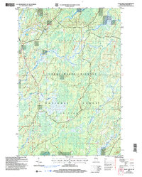
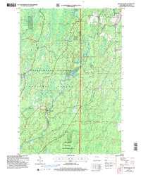
(16)- 2005 Map of Clam Lake SW, 2006 Print
 2005 Clam Lake SW2006 Print · USGSNorthern Wisconsin lake country and timberlands are seen here in the early 2000s within the Chequamegon - Nicolet National Forest. Trace the path of the Chippewa River and explore the remote shores of Moose Lake and Ike Lake.
 - 2005 Map of Clam Lake SE, 2006 Print
 2005 Clam Lake SE2006 Print · USGSNorthern Wisconsin forest and wetlands come to life in this detailed study of the area near Shanagolden. You can trace the winding course of the East Fork Chippewa River or locate family land near Hungry Run.
 - 2005 Map of Shanagolden, 2006 Print
 2005 Shanagolden2006 Print · USGSAshland County’s timber and river country is captured in this mid-2000s survey of the northern Wisconsin woods. Researchers can trace the water-bound geography of Shanagolden and the Chippewa River alongside sites like Muskellunge Lake and the Stock Farm Bridge Recreation Site.
 - 2005 Map of Blaisdell Lake, 2006 Print
 2005 Blaisdell Lake2006 Print · USGSThe Northwoods of Sawyer County come into focus during the mid-2000s, showcasing a landscape of glacial lakes managed within the Chequamegon-Nicolet National Forest. Trace local history at Glenwood Camp, the Power Plant, and old landings on Blaisdell Lake and Loretta Lake.
 - 2005 Map of Kennedy, 2006 Print
 2005 Kennedy2006 Print · USGSNorthern Wisconsin's deep woods and glacial lakes are mapped here in the early twenty-first century. Genealogists and researchers can trace the settlement of Kennedy and the remote forest roads near Lake Alice and Oxbo Lake.
 - 2005 Map of Loretta, 2006 Print
 2005 Loretta2006 Print · USGSNorthern Wisconsin's timber and recreation lands are captured here in the early 2000s. Genealogists and local historians can trace the town layouts of Loretta and Draper or locate the local Cem and Ranger Station along the historic Tuscobia Trail.
 - 2022 Map of Blaisdell Lake, 2022 Print
 2022 Blaisdell Lake2022 Print · USGSSawyer County’s forested lake country is shown here in the early twenty-first century as part of the Chequamegon National Forest. Researchers can trace the winding East Fork Chippewa River through Blaisdell Lake and explore local routes like Sagert Rd or the Black Lake Trl.
 - 2022 Map of Loretta, 2022 Print
 2022 Loretta2022 Print · USGSSawyer County’s northern woods come alive in this record of the settlements at Loretta and Draper. Genealogists and outdoor historians can trace family-named roads near Draper Cem or follow old rail-and-logging corridors like the Tuscobia State Trl.
 - 2022 Map of Butternut Lake, 2022 Print
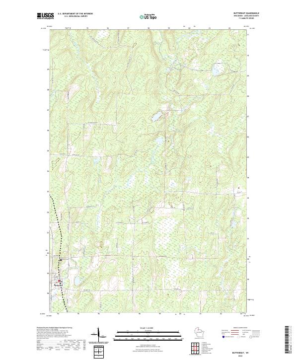
 2022 Butternut Lake2022 Print · USGSIn the lakes region of northern Wisconsin, this contemporary survey captures a landscape of dense wetlands and deep-water retreats. Researchers can trace the path of the Tuscobia State Trail as it winds past Butternut Lake and the Mill Pond.
 - 2022 Map of Park Falls, 2022 Print
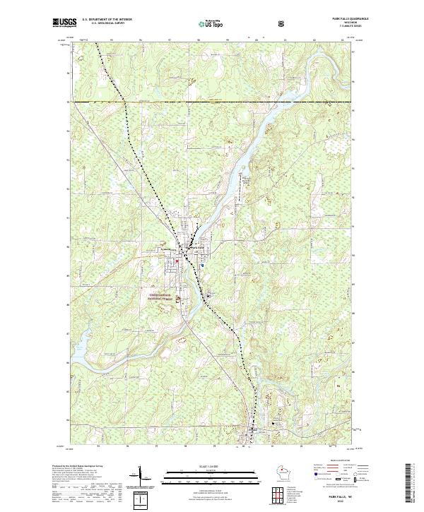 2022 Park Falls2022 Print · USGSPrice County timber and river history come alive in this survey of the Northwoods during the early twenty-first century. Researchers can trace the layout of Park Falls, find family plots in Nola Cem, and follow the Flambeau River past Divine Rapids.
 - 2022 Map of Kennedy, 2022 Print
 2022 Kennedy2022 Print · USGSSawyer County and the surrounding northwoods are captured in this contemporary survey of the Chequamegon National Forest. Outdoor enthusiasts and historians can trace the Tuscobia State Trl as it passes near the settlement of Kennedy and the banks of the Flambeau River.
 - 2022 Map of Butternut, 2022 Print
 2022 Butternut2022 Print · USGSThe village of Butternut and the surrounding Ashland County timberlands are shown in detail as they appeared recently. Genealogists can locate Union Cem, while those studying the landscape can trace the E Fork Chippewa River and Butternut Creek.
 - 2022 Map of Clam Lake SW, 2022 Print
 2022 Clam Lake SW2022 Print · USGSNorthern Wisconsin's protected forest lands are shown here in the early 2020s, dominated by the expansive Chequamegon National Forest. Researchers can trace river routes like the West Fork Chippewa River or locate lake-side landmarks such as Ike Lake and Cattail Lake.
 - 2022 Map of Peeksville, 2022 Print
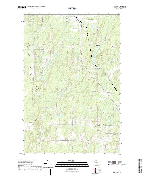 2022 Peeksville2022 Print · USGSAshland County's north woods are shown in fine detail during the early 2020s, revealing a landscape defined by the East Fork Chippewa River and rural family homesteads. Genealogists can locate family-named roads and burial sites at Saint Cecelia Cem near the town of Butternut.
 - 2022 Map of Clam Lake SE, 2022 Print
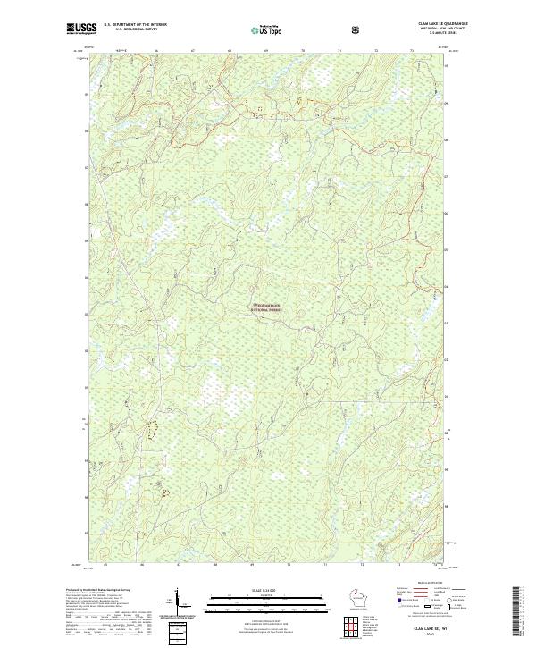 2022 Clam Lake SE2022 Print · USGSAshland County's deep woods and river headwaters are captured here in the early twenty-first century. Outdoorsmen and local historians can trace the winding Dead Horse Run Trl as it crosses the Moose River and Hungry Run.
 - 2022 Map of Shanagolden, 2022 Print
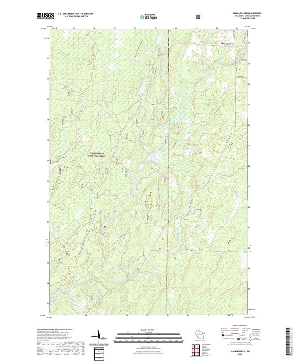 2022 Shanagolden2022 Print · USGSNorthern Wisconsin's deep woods and timber history are visible in this recent survey of the Ashland County forest. Trace the paths of Railroad Rd and Dead Horse Run Trl through the Chequamegon National Forest near Shanagolden.
End of results
Showing maps 1-16 of 16
Top cities near Chippewa
- Fifield historical maps
- Morse historical maps
- Butternut historical maps
- Draper historical maps
- Shanagolden historical maps
Frequently asked questions
- What are the different types of historical maps available for Chippewa?
- What is the oldest map of Chippewa?
- Where can I purchase historical maps of Chippewa for my home or office?
- Where can I download high-res historical maps of Chippewa?
- Are there historical topographic maps available for Chippewa?
- Is there historical aerial imagery available for Chippewa?
- Where are historical maps of Chippewa sourced from?