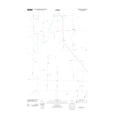
2013 Map of Peeksville
USGS Topo · Published 2013About this map
Peeksville serves as a central point of settlement in this part of Ashland County, situated near the winding course of Schraum Creek. The landscape is defined by the hydrologic network of the East Fork Chippewa River, which meanders through the western portion of the region. This area of Northern Wisconsin is characterized by numerous small glacial lakes and springs, including Camp Four Lake, Bullhead Lake, and Slim Lake, as well as the secluded Kempf Springs.
Find a feature on this map
50 named features on this map. Tap any name to fly to it.
Don’t see what you’re looking for? This feature index may not catch every label — zoom into the map to look around manually.
Map Details
Editions of this 2013 Peeksville Map
This is the sole edition of this map. No revisions or reprints were ever made.
Other maps of this area

1940 · Butternut
USGS Topo · 1:48,000

1941 · Park Falls
USGS Topo · 1:48,000

1941 · Kennedy
USGS Topo · 1:48,000

1942 · Glidden
USGS Topo · 1:48,000

1943 · Park Falls
USGS Topo · 1:48,000

1945 · Kennedy
USGS Topo · 1:48,000

1945 · Glidden
USGS Topo · 1:48,000

1947 · Park Falls
USGS Topo · 1:48,000

1947 · Butternut
USGS Topo · 1:48,000

1950 · Butternut
USGS Topo · 1:48,000