2010s Maps of Grandview, Wisconsin
Explore 32 historic maps of Grandview from the 2010s. These maps offer a rare glimpse into what life looked like during the 2010s — showing old roads, neighborhoods, homes, and landmarks that have changed or disappeared over time.
Whether you're researching your family's past, planning a metal detecting trip, or studying how Grandview's landscape evolved across the 2010s, these high-resolution maps are a powerful tool for exploring the history of this region.
- Focus on a specific era: All maps on this page are from the 2010s, giving you a focused view of this time period.
- See what’s changed: Compare century-old streets, trails, and buildings to today's modern landscape using overlays and satellite layers.
- Research with precision: Use these maps for genealogy, historical research, land use analysis, or educational projects.
- View, download, or print: Maps are fully viewable online in high resolution, and can be downloaded or printed for your own records.
Start exploring Grandview's history through authentic maps from the 2010s. This is your window into the past.
Grandview, WI maps
(32)- 2010 Map of Mason, 2010 Print
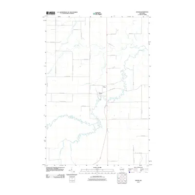 2010 Mason2010 Print · USGSMason and the winding White River appear in this 2010 survey of northern Wisconsin. Genealogists and local historians can trace family-named routes like Olaf Johnson Rd and Kostello Rd or locate the Mason Cemetery near the riverbanks.
 - 2011 Map of Clam Lake, 2011 Print
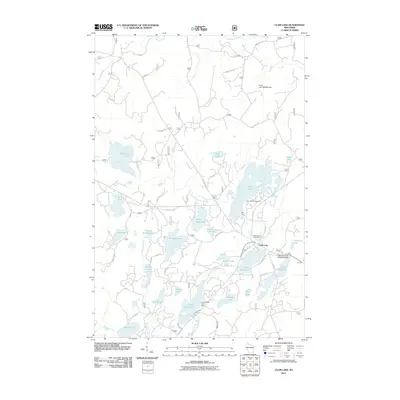 2011 Clam Lake2011 Print · USGSWisconsin's northern lake country is captured here during a period of modern forest management and lakeside recreation. Researchers can trace the layout of Clam Lake, locate the Wildwood Cemetery, or find the Little Clam Lake Seaplane Base near the water's edge.
 - 2011 Map of Marengo Lake, 2011 Print
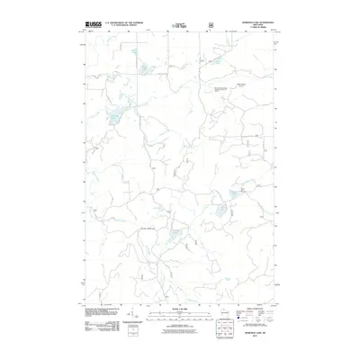 2011 Marengo Lake2011 Print · USGSThe Northwoods of Bayfield County are captured here in the early twenty-first century, showing a landscape defined by timber roads and water. Trace the routes to Saint Peters Dome, the cascading Morgan Falls, and recreation sites at Beaver Lake.
 - 2011 Map of Diamond Lake, 2011 Print
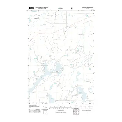 2011 Diamond Lake2011 Print · USGSBayfield County's lake country is documented here in the early twenty-first century, showing a landscape defined by seasonal residences and forest roads. Researchers can locate the Lake Owen Summer Homes Group and recreational landmarks like Two Lakes Campground and Diamond Lake.
 - 2011 Map of Lake Tahkodah, 2011 Print
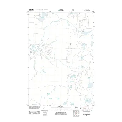 2011 Lake Tahkodah2011 Print · USGSBayfield County's lake-dotted landscape is captured here during the early twenty-first century as recreation and rural residency shaped the Northwoods. Trace the flow of the Namekagon River and identify local landmarks like the Cable Union Airport and Lake Tahkodah.
 - 2011 Map of Namekagon Lake, 2011 Print
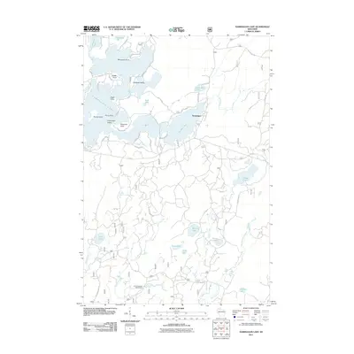 2011 Namekagon Lake2011 Print · USGSBayfield County's lake country is captured here during the early twenty-first century, showing the established recreational and residential patterns around Namekagon Lake. Trace family-named landmarks like Eagle Point and Juneks Point, or follow the winding Old Grade Rd through the northern woods.
 - 2011 Map of Grand View, 2011 Print
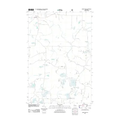 2011 Grand View2011 Print · USGSBayfield County lake country is documented here in the early twenty-first century, centered on the settlement of Grand View. Researchers can trace local landmarks and field sites like the University of Wisconsin Surveying Camp, Long Mile Lookout Tower, and Bass Lake.
 - 2011 Map of Grandview NW, 2011 Print
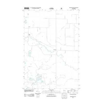 2011 Grandview NW2011 Print · USGSBayfield County's interior at the start of the 2010s reveals a landscape of dense hydrology and isolated settlements. Genealogists and researchers can locate family names at the Pike River Cemetery or trace the waters of Anodanta Lake and Sutherland.
 - 2013 Map of Grand View, 2013 Print
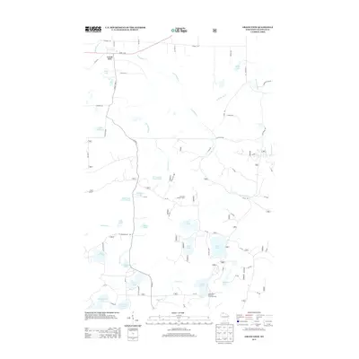 2013 Grand View2013 Print · USGSGrandview and the surrounding lake country of Bayfield County are shown here in the early 21st century. Researchers can trace forest road networks to landmarks like the Long Mile Lookout Tower or the University of Wisconsin Surveying Camp near Taylor Lake.
 - 2013 Map of Grandview NW, 2013 Print
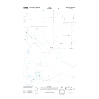 2013 Grandview NW2013 Print · USGSBayfield County's lake-studded landscape is captured here in the early 2010s, centered on the White River and the rural community of Sutherland. Researchers can trace old family road names and lake-shore landmarks like Nymphia Lake, Cranberry Lake, and the winding Snake Trl.
 - 2013 Map of Mason, 2013 Print
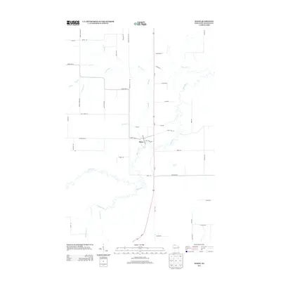 2013 Mason2013 Print · USGSIn the early twenty-first century, the village of Mason remains a vital crossroads in the Wisconsin northwoods. Local historians and genealogists can trace the rural landscape through family-named routes like Beebe Road and family landmarks near the White River.
 - 2013 Map of Namekagon Lake, 2013 Print
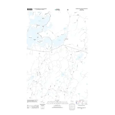 2013 Namekagon Lake2013 Print · USGSNamakagon and the shores of Namekagon Lake are captured here in the early twenty-first century, showing a landscape shaped by water and timber. Local historians can trace family-named points like Juneks Point or follow the path of the Old Grade Rd through the Chequamegon-Nicolet National Forest.
 - 2013 Map of Lake Tahkodah, 2013 Print
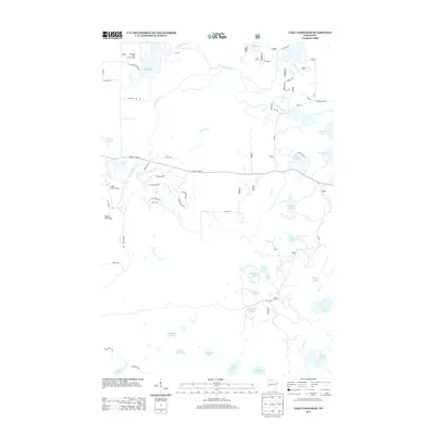 2013 Lake Tahkodah2013 Print · USGSThe glacier-carved lake country of Bayfield County is captured here in the early 2010s. Researchers can trace forest access via FR 272 and locate local landmarks like Mount Telemark, the Cable Union Airport, and the Tahkodah Hills Golf Course.
 - 2013 Map of Diamond Lake, 2013 Print
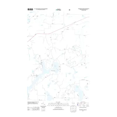 2013 Diamond Lake2013 Print · USGSBayfield County's lake country is captured here in the early twenty-first century, showing a landscape of deep woods and interconnected waterways. Outdoor enthusiasts and local historians can trace the roads to the Lake Owen Summer Homes Group or locate hidden spots like Eighteenmile Creek Springs and Sugar Bush Lake.
 - 2013 Map of Marengo Lake, 2013 Print
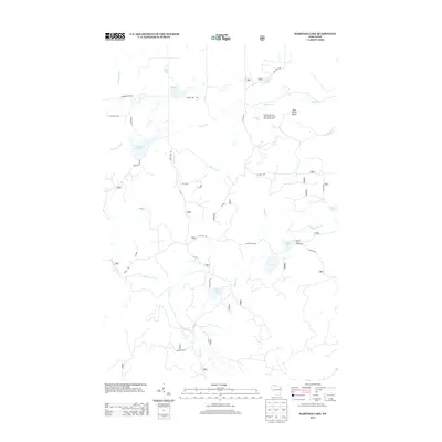 2013 Marengo Lake2013 Print · USGSBayfield County’s forest landscape is captured here in the early twenty-first century, showcasing a region defined by its hydrography and public lands. Outdoor historians and researchers can trace access routes to Morgan Falls and the Beaver Lake Recreation area.
 - 2013 Map of Clam Lake, 2013 Print
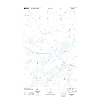 2013 Clam Lake2013 Print · USGSNorthern Wisconsin's lake country is captured here during the early twenty-first century, centered on the settlement of Clam Lake. Researchers can trace forest access roads and fishing landmarks like Muskie Springs Lake, Day Lake Campground, and the West Fork Chippewa River.
 - 2015 Map of Marengo Lake, 2015 Print
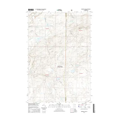 2015 Marengo Lake2015 Print · USGSBayfield and Ashland counties appear here during the mid-2010s, showing a landscape defined by the deep woods of the Chequamegon National Forest. You can trace the forest road network to remote landmarks like Saint Peters Dome, Coffee Lake, and the winding Marengo River.
 - 2015 Map of Mason, 2015 Print
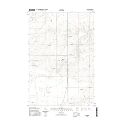 2015 Mason2015 Print · USGSMason and the surrounding Wisconsin Northwoods are captured here in the mid-2010s, showing a landscape defined by the White River and the vast Bibon Marsh. Researchers can trace old homesteads along family-named routes like Lund Rd and locate the historic Mason Cem.
 - 2015 Map of Namekagon Lake, 2015 Print
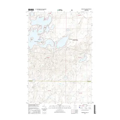 2015 Namekagon Lake2015 Print · USGSThe Northwoods shoreline of Namakagon, Wisconsin, comes into focus in this detailed modern study. You can trace the development of Namekagon Lake and find specific landmarks like Missionary Point, Anderson Island, and Ghost Lake.
 - 2015 Map of Grand View, 2015 Print
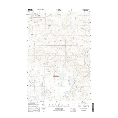 2015 Grand View2015 Print · USGSThe northern reaches of the Chequamegon National Forest near Grand View appear here in high detail during the mid-2010s. Genealogists and outdoorsmen can trace property access via Old Grade Road or locate family landmarks like Atkins Lake, Lake Lizzie, and Trapper Lake.
 - 2015 Map of Clam Lake, 2015 Print
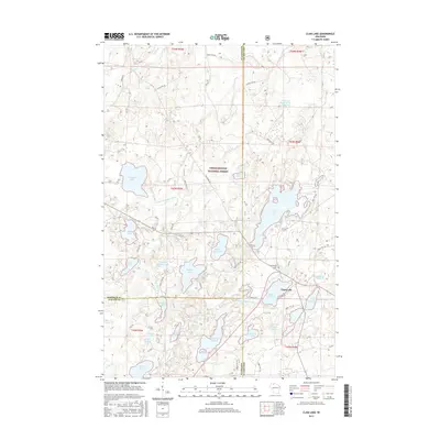 2015 Clam Lake2015 Print · USGSThe Northwoods of Wisconsin are shown here in the mid-2010s, centered on the remote village of Clam Lake. Genealogists and outdoor historians can trace old routes like Old Grade Rd or locate the local Wildwood Cem near Upper Clam Lake.
 - 2015 Map of Lake Tahkodah, 2015 Print
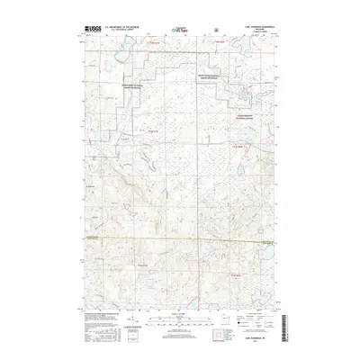 2015 Lake Tahkodah2015 Print · USGSThe north woods of Wisconsin are seen here in the mid-2010s, where the headwaters of the St. Croix system meet glacial terrain. Outdoor researchers can trace the Esker Trail near Mt Telemark or locate remote water bodies like Filing Shed Lake.
 - 2015 Map of Grandview NW, 2015 Print
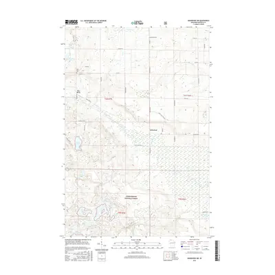 2015 Grandview NW2015 Print · USGSCovers Grandview, including Drummond, Delta, and other nearby areas
 - 2015 Map of Diamond Lake, 2015 Print
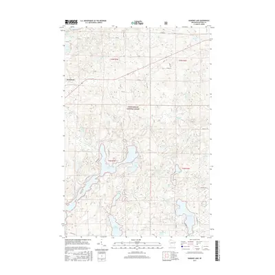 2015 Diamond Lake2015 Print · USGSWisconsin's northern lake country remains a wild landscape of timber and water in this recent survey of Bayfield County. Researchers can trace the shorelines of Lake Owen and Diamond Lake or follow forest routes like Old 63 S through the Chequamegon National Forest.
 - 2018 Map of Marengo Lake, 2018 Print
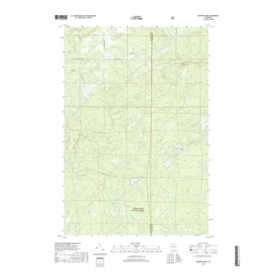 2018 Marengo Lake2018 Print · USGSThe Wisconsin Northwoods come into focus in this late-2010s study of the Chequamegon National Forest along the Ashland and Bayfield county border. Outdoor enthusiasts and local historians can trace the N Country National Scenic Trail past Saint Peters Dome and Morgan Falls.
Showing maps 1-25 of 32
Top cities near Grandview
- Ashland historical maps
- Sanborn historical maps
- White River historical maps
- Cable historical maps
- Drummond historical maps
- Delta historical maps
See more
Top neighborhoods of Grandview
Frequently asked questions
- What are the different types of historical maps available for Grandview?
- What is the oldest map of Grandview?
- Where can I purchase historical maps of Grandview for my home or office?
- Where can I download high-res historical maps of Grandview?
- Are there historical topographic maps available for Grandview?
- Is there historical aerial imagery available for Grandview?
- Where are historical maps of Grandview sourced from?