Old Maps of Allouez, Wisconsin for Genealogy
Trace your family roots with 23 historic maps of Allouez. These high-res maps reveal old neighborhoods, homesites, landmarks, and streets — helping you uncover where your ancestors lived and how the area evolved over time.
- Explore historic neighborhoods: Identify where your relatives may have lived in the 1800s or 1900s.
- Compare maps over time: Trace the changes in streets, buildings, and landmarks for multi-generational research.
- Perfect for genealogy & ancestry research: Used by family historians and researchers to map out lineage and migration.
These maps are an incredible resource for exploring your personal connection to Allouez's past.
Allouez, WI maps
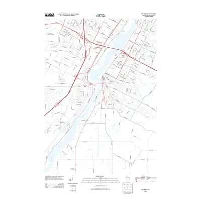
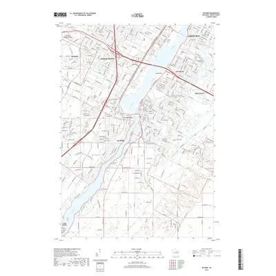
(23)- 1954 Map of De Pere, 1956 Print
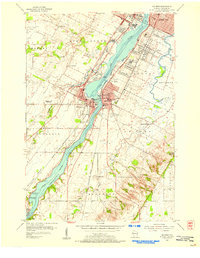
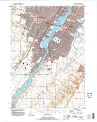
 1954 De Pere1956 Print · USGSThe Fox River valley in the mid-1950s was a hub of industrial navigation and growing aviation between De Pere and Green Bay. Genealogists can trace family names through dozens of rural sites like St Patrick Cem, Gopher Hill, and the Michaelson Sch (Abandoned).2 unique versions available
 - 1954 Map of Denmark, 1956 Print
 1954 Denmark1956 Print · USGSSoutheast of Green Bay in the mid-fifties, this area shows a dense network of rural schoolhouses and parish churches. Genealogists can trace family roots through sites like Little Irish Church Cem, Coppens Corner, and the East Wayside Sch (Abandoned).2 unique versions available
 - 1954 Map of De Pere, 1956 Print
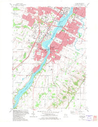
 1954 De Pere1956 Print · USGSIn the mid-1950s, the Fox River Valley bustled with industry, education, and expansion between Green Bay and De Pere. Genealogists and historians can trace the foundations of St Norbert College, the location of the State Reformatory, and early schools like Babcock Sch.2 unique versions available
 - 1954 Map of Manitowoc, 1968 Print
 1954 Manitowoc1968 Print · USGSLake Michigan served as a vital transit corridor in the mid-fifties, with car and auto ferries linking the industrial ports of Wisconsin to the Michigan timberlands. Genealogists and maritime historians can trace active ferry routes like the Ann Arbor Railway Car and Auto Ferry and locate early settlements from Brussels to Algoma.2 unique versions available
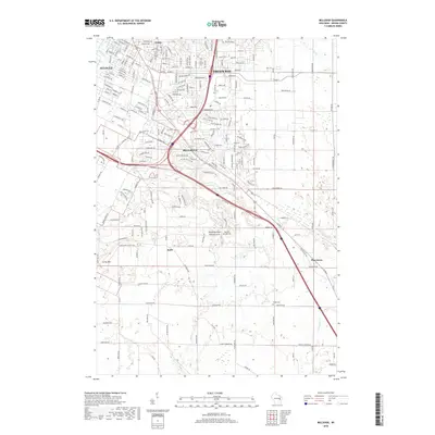
 - 1954 Map of Bellevue, 1972 Print
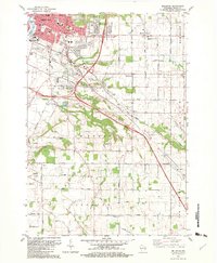
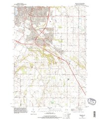
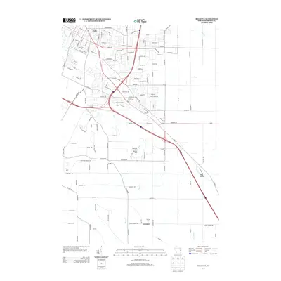
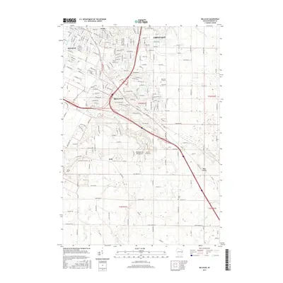
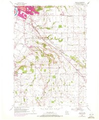 1954 Bellevue1972 Print · USGSSoutheast of Green Bay in the early 1950s, this area shows a rural landscape dotted with country schoolhouses and small farming hamlets. Genealogists can trace family footprints at Holy Trinity Ch, the Polish Cem, or the many schools like Pleasant View Sch.
 - 1955 Map of Green Bay, 1968 Print
 1955 Green Bay1968 Print · USGSCentral and Eastern Wisconsin are captured here in the mid-fifties, showing the industrial growth of the Fox Valley and Wisconsin River corridors. Genealogists and historians can trace rail lines like the Green Bay and Western through settlements like Weyauwega, Clintonville, and Pulaski.2 unique versions available
 - 1958 Map of Manitowoc
 1958 Manitowoc1958 Print · USGSLake Michigan and its shorelines are shown in the late fifties when maritime transport defined the region. Researchers can trace the routes of the Ann Arbor Railroad Ferry or locate old settlements like St. Nazianz, Rostock, and Two Creeks.
 - 1982 Map of De Pere
 1982 De Pere1982 Print · USGSDe Pere and the Fox River corridor are captured here in the early eighties as the region balanced its industrial roots with suburban growth. Researchers can trace institutional landmarks like St Norbert College or the legacy of rail at the National Railroad Museum.
 - 1982 Map of Bellevue
 1982 Bellevue1982 Print · USGSBrown County’s landscape in the early eighties shows the suburban growth of Green Bay meeting the rural traditions of Glenmore. Researchers can trace old family lands near Langes Corners, Bellevue Cem, and the Chicago and North Western rail line.
 - 1984 Map of Appleton, 1985 Print
 1984 Appleton1985 Print · USGSThe Fox River Valley in the mid-eighties shows a bustling corridor of industry and nature, from the shores of Lake Winnebago to the Oneida Indian Reservation. Trace local heritage through landmarks like Riverside Cem or explore the wetlands of Poygan Marsh State Wildlife Area.2 unique versions available
 - 1984 Map of Manitowoc, 1985 Print
 1984 Manitowoc1985 Print · USGSThe Lake Michigan shoreline of eastern Wisconsin is captured here in the mid-eighties, showing the bustling ports and rail-fed industry of the era. Genealogists and researchers can trace family-named sites near Stangelville, find the Francis Creek National Cem, or locate the U S Coast Guard Station.2 unique versions available
 - 1992 Map of De Pere, 1996 Print
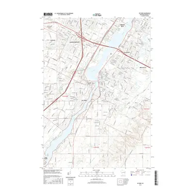
 1992 De Pere1996 Print · USGSThe Fox River valley in the early nineties shows a landscape of institutional growth and deep-rooted community history. Researchers can find St Norbert College, the National Railroad Museum, and the historic path of Old Military Road near the De Pere Dam.
 - 1992 Map of Bellevue, 1996 Print
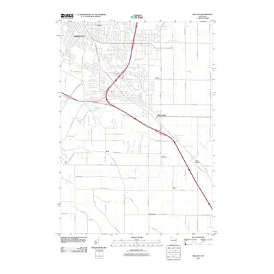
 1992 Bellevue1996 Print · USGSBrown County experiences significant suburban growth during the nineties as residential developments expand into the rural landscapes of Allouez. Trace family history and land use through Bellevue Cemetery, the Landing Strip, and the prominent heights of Scray Hill.
 - 2010 Map of De Pere, 2010 Print
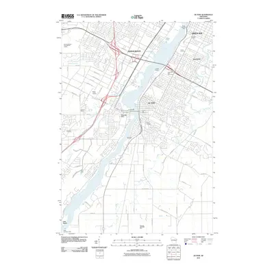 2010 De Pere2010 Print · USGSCovers Allouez, including Green Bay, De Pere, and other nearby areas
 - 2010 Map of Bellevue, 2010 Print
 2010 Bellevue2010 Print · USGSCovers Allouez, including Green Bay, Bellevue, and other nearby areas
 - 2013 Map of Bellevue, 2013 Print
 2013 Bellevue2013 Print · USGSCovers Allouez, including Green Bay, Bellevue, and other nearby areas
 - 2013 Map of De Pere, 2013 Print
 2013 De Pere2013 Print · USGSCovers Allouez, including Green Bay, De Pere, and other nearby areas
 - 2015 Map of Bellevue, 2015 Print
 2015 Bellevue2015 Print · USGSCovers Allouez, including Green Bay, Bellevue, and other nearby areas
 - 2016 Map of De Pere, 2016 Print
 2016 De Pere2016 Print · USGSCovers Allouez, including Green Bay, De Pere, and other nearby areas
 - 2018 Map of De Pere, 2018 Print
 2018 De Pere2018 Print · USGSCovers Allouez, including Green Bay, De Pere, and other nearby areas
 - 2018 Map of Bellevue, 2018 Print
 2018 Bellevue2018 Print · USGSCovers Allouez, including Green Bay, Bellevue, and other nearby areas
 - 2022 Map of Bellevue, 2022 Print
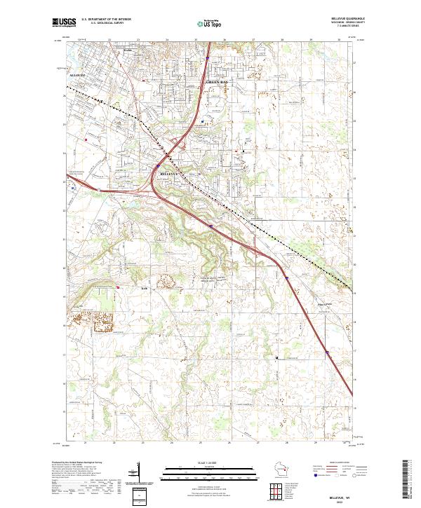 2022 Bellevue2022 Print · USGSBellevue and the southern reaches of Green Bay are shown here in the early 2020s as suburban growth meets rural Brown County. Researchers can pinpoint long-standing landmarks like the Fonferek Glen Natural Arch, Martins Aerodrome, and the Polish Cem.
 - 2022 Map of De Pere, 2022 Print
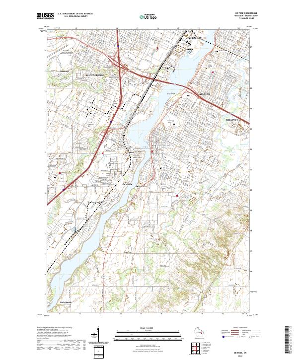 2022 De Pere2022 Print · USGSThe Fox River corridor south of Green Bay is shown in detail during the early 2020s, highlighting the area's deep-rooted academic and religious identity. Genealogists can trace family plots across Saint Norbert Abbey Cem, Woodlawn Cem, and Lawrence Cem.
End of results
Showing maps 1-23 of 23
Top cities near Allouez
- Green Bay historical maps
- De Pere historical maps
- Howard historical maps
- Kaukauna historical maps
- Bellevue historical maps
- Suamico historical maps
See more
Frequently asked questions
- What are the different types of historical maps available for Allouez?
- What is the oldest map of Allouez?
- Where can I purchase historical maps of Allouez for my home or office?
- Where can I download high-res historical maps of Allouez?
- Are there historical topographic maps available for Allouez?
- Is there historical aerial imagery available for Allouez?
- Where are historical maps of Allouez sourced from?