Old Maps of Belvidere, Wisconsin for Metal Detecting
Plan your next treasure hunt with 33 historic maps of Belvidere. Find old homesites, ghost towns, trails, and gathering spots that may be lost to time — perfect for identifying promising metal detecting locations.
- Locate forgotten sites: Uncover places like long-lost settlements, abandoned rail lines, or gathering spots.
- Plan better hunts: Use map overlays combined with LiDAR or satellite views to narrow in on historically rich areas.
- Made for detectorists: Thousands of hobbyists use these maps to discover relics, coins, and hidden history.
Use these historic maps to boost your research and find new opportunities beneath the surface of Belvidere.
Belvidere, WI maps
(33)- 1932 Map of Cochrane
 1932 Cochrane1932 Print · USGSThe Mississippi River valley in the early thirties shows a intricate network of islands and sloughs tucked beneath high bluffs. Trace the historical footprints of Buffalo City, locate rural schoolhouses like Oak Valley Sch, and follow the Chicago Burlington and Quincy rail line.
 - 1932 Map of Alma
 1932 Alma1932 Print · USGSThe river valleys and high ridges of Buffalo County are captured here in the early 1930s, showing a landscape of small farms and rural schoolhouses. Genealogists and local historians can trace the foundations of this community through dozen of school sites like Mill Creek Sch and Cascade Sch, alongside the U S Game Refuge and the rail lines through Alma.2 unique versions available
 - 1934 Map of Cochrane, 1968 Print
 1934 Cochrane1968 Print · USGSThe Mississippi River corridor and surrounding bluffs are captured here in the mid-1930s, documenting the riverside rail lines and upland farm communities. Genealogists can trace family landmarks like Young Cem, Mount Vernon Sch, and the Transient Relief Camp.
 - 1937 Map of Cochrane
 1937 Cochrane1937 Print · USGSThe Mississippi River bluffs during the late thirties show a region defined by river navigation and rural township life. Genealogists can trace family roots through numerous local landmarks like Hebron Ch, Mount Vernon Cem, and schools from Buffalo to Rollingstone.2 unique versions available
 - 1950 Map of Alma, 1952 Print
 1950 Alma1952 Print · USGSThe Mississippi River valley serves as a bustling corridor for rail and river traffic at mid-century. Genealogists can trace family roots through numerous rural landmarks like St Paul Ch, Church Valley Cem, and the riverfront town of Alma.8 unique versions available
 - 1953 Map of Eau Claire, 1965 Print
 1953 Eau Claire1965 Print · USGSWest-central Wisconsin in the mid-fifties shows a landscape of river-valley industry and vast wildlife refuges during the transition from rails to modern highways. Genealogists and historians can trace the rail corridors of the Chicago and North Western or locate family-named landmarks like Decorah Mound and Chippewa Island.4 unique versions available
 - 1958 Map of Eau Claire
 1958 Eau Claire1958 Print · USGSWestern Wisconsin in the late fifties shows a landscape of growing regional hubs and massive wildlife refuges. Trace the rail lines of the Chicago and North Western between Eau Claire and Marshfield, or explore the terrain around Iron Mound and Lake Wissota.
 - 1964 Map of Eau Claire
 1964 Eau Claire1964 Print · USGSWest-central Wisconsin in the mid-1960s was a hub of river-driven industry and expanding rail networks. Researchers can trace historic homesteads near Menomonie, follow the Soo Line RR through Marshfield, or explore the grounds of the Camp McCoy Military Reservation.
 - 1972 Map of Cochrane, 1976 Print
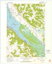 1972 Cochrane1976 Print · USGSThe upper Mississippi riverfront and its surrounding bluffs are captured here in the early seventies, showing a landscape defined by navigation and nature. Genealogists and historians can trace the streets of Cochrane, locate the Mount Vernon Cem, and see the rail lines of the Burlington Northern.2 unique versions available
 - 1972 Map of Weaver, 1976 Print
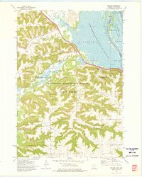 1972 Weaver1976 Print · USGSThe river bluffs and backwaters of Winona County are captured in the early seventies, showing a landscape shaped by timber and the Mississippi. Researchers can trace the tracks of the Chicago Milwaukee St Paul and Pacific and locate local landmarks like St Marys Cem Evergreen Sem or Mount Vernon.2 unique versions available
 - 1974 Map of Alma, 1976 Print
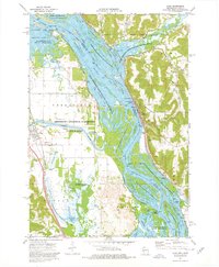 1974 Alma1976 Print · USGSThe Upper Mississippi River corridor is captured here in the mid-1970s, showing the intricate wetlands and industrial river crossings of the border region. You can trace the rail lines of the Burlington Northern and locate sites like Lock and Dam No 4 or the Mill Creek Cem.2 unique versions available
 - 1974 Map of Cream, 1977 Print
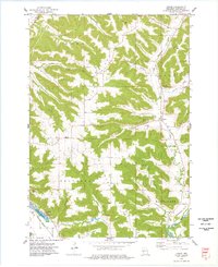 1974 Cream1977 Print · USGSBuffalo County is shown in the mid-1970s as a landscape of deep valleys and prominent ridges tied together by rural family churches. Genealogists can locate several local burial grounds, including Lincoln Cem and Anchorage Cem, alongside the small crossroads of Cream.
 - 1985 Map of Winona
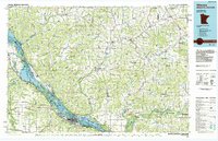 1985 Winona1985 Print · USGSThe Mississippi River valley and the coulees of the Driftless Area are shown here in the mid-1980s as the river's lock-and-dam system was well-established. Researchers can trace the riverfront at Winona, explore the bluffs near Galesville, or locate landmarks like Sugarloaf and Merrick State Park.2 unique versions available
 - 2010 Map of Cream, 2010 Print
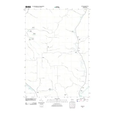 2010 Cream2010 Print · USGSBuffalo County's agricultural heartland is documented here at the start of the 2010s, showing a landscape of deep valleys and high ridges. Genealogists can locate family landmarks like Zion Cemetery and Anchorage Cemetery or trace the early milling sites of Alma Mill 5 and Herold.
 - 2011 Map of Alma, 2011 Print
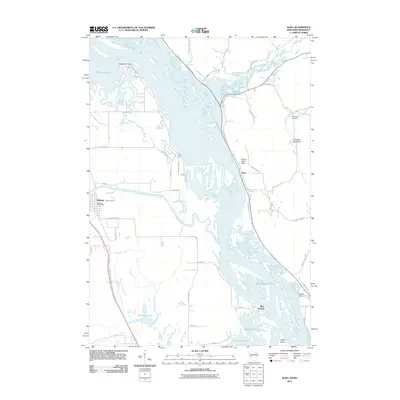 2011 Alma2011 Print · USGSThe riverfront communities of the Mississippi valley appear in the early 2010s as the river winds past Alma and Kellogg. Researchers can trace local landmarks like the Mill Creek Cemetery, the Kellogg Post Office, and the industrial Alma Mill 1 D6519 Dam.
 - 2011 Map of Weaver, 2011 Print
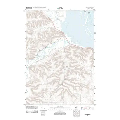 2011 Weaver2011 Print · USGSThe river bluffs and backwaters of Buffalo County are captured here in the early twenty-first century. Genealogists and local historians can locate several rural burial grounds, such as Saint Marys and Young Cemetery, alongside the settlement of Weaver.
 - 2011 Map of Cochrane, 2011 Print
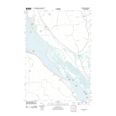 2011 Cochrane2011 Print · USGSThe riverfront communities of Buffalo City and Cochrane sit along the Upper Mississippi in the early twenty-first century. Genealogists and researchers can trace local landmarks like Mount Vernon Cemetery, the settlement of Minneiska, and the river landing at Bass Camp.
 - 2013 Map of Cream, 2013 Print
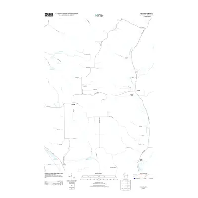 2013 Cream2013 Print · USGSBuffalo County's coulee country is documented here in the early twenty-first century, showing the enduring agricultural character of the region. Researchers can trace family-named landmarks and valley settlements including Herold, Cream, and the waters of Lizzy Pauls Pond.
 - 2013 Map of Cochrane, 2013 Print
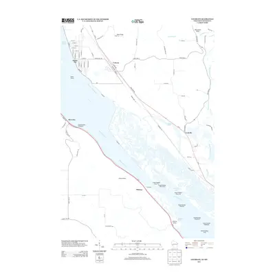 2013 Cochrane2013 Print · USGSThe Upper Mississippi River valley at the Wisconsin border reveals a landscape of intricate sloughs and riverfront towns. Researchers can trace the development of Buffalo City and Cochrane near landmarks like Chimney Rock and Bass Camp.
 - 2013 Map of Alma, 2013 Print
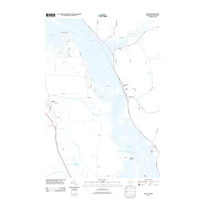 2013 Alma2013 Print · USGSThe Upper Mississippi River valley in the early 2010s reveals a complex landscape of islands and riverfront settlements. Researchers can trace the river's path past Twelve Mile Bluff to the town of Alma, or explore the winding Zumbro River near Kellogg.
 - 2013 Map of Weaver, 2013 Print
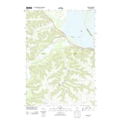 2013 Weaver2013 Print · USGSThe river bluffs and bottomlands of the upper Mississippi come into focus here during the early twenty-first century. Genealogists can trace several burial sites including Saint Marys and Hillside Cem, while exploring the valley roads of Weaver and Minneiska.
 - 2015 Map of Cream, 2015 Print
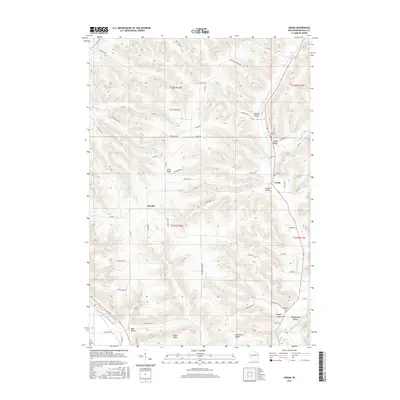 2015 Cream2015 Print · USGSBuffalo County's ridge-and-valley landscape is captured here in the mid-2010s, showing the enduring rural character of the Waumandee area. Researchers can locate family burial plots at Lincoln Cem and trace homesteads in Schmidt Valley or near Herold.
 - 2015 Map of Cochrane, 2015 Print
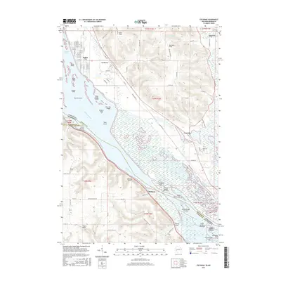 2015 Cochrane2015 Print · USGSBuffalo City and Cochrane sit along the Mississippi River bluffs in the mid-2010s, where the railroad and river define local life. Genealogists and historians can trace family-named terrain and small settlements like Czechville, Whitman, and Mount Vernon Cem.
 - 2015 Map of Alma, 2015 Print
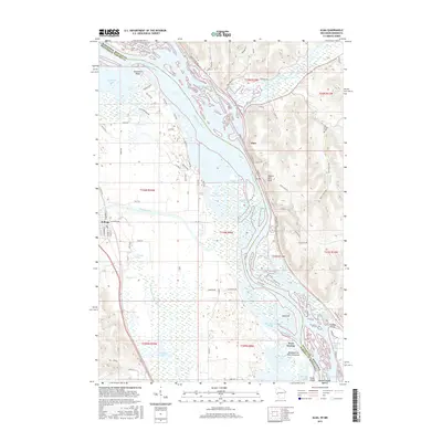 2015 Alma2015 Print · USGSThe Upper Mississippi River valley comes alive in this study of the border between Wisconsin and Minnesota. Researchers can trace riverside heritage from Alma to Kellogg, locating landforms like Twelve Mile Bluff and historic sites such as Mill Creek Cem.
 - 2016 Map of Weaver, 2016 Print
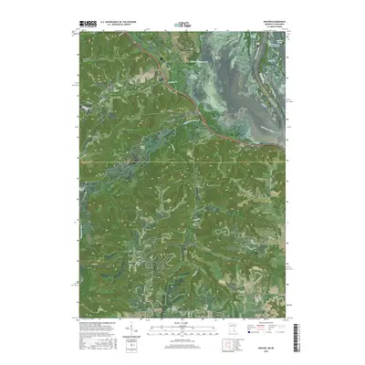 2016 Weaver2016 Print · USGSThe Mississippi River backwaters and the high bluffs of Wabasha County come alive in this mid-2010s survey. Genealogists can locate several local burial sites like Saint Marys Cem and Young Cem, while tracing the valley paths of Adams Valley and Frisch Valley.
Showing maps 1-25 of 33
Top cities near Belvidere
- Winona historical maps
- Goodview historical maps
- Wabasha historical maps
- Buffalo City historical maps
- Fountain City historical maps
- Alma historical maps
See more
Top neighborhoods of Belvidere
Frequently asked questions
- What are the different types of historical maps available for Belvidere?
- What is the oldest map of Belvidere?
- Where can I purchase historical maps of Belvidere for my home or office?
- Where can I download high-res historical maps of Belvidere?
- Are there historical topographic maps available for Belvidere?
- Is there historical aerial imagery available for Belvidere?
- Where are historical maps of Belvidere sourced from?