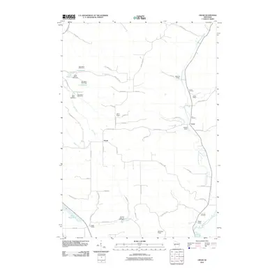
2010 Map of Cream
USGS Topo · Published 2010About this map
Cream and the surrounding agricultural valleys of Buffalo County are defined by a complex network of ridges and watercourses in this 2010 survey. The landscape is marked by the presence of numerous small-scale water management structures, specifically the Alma Mill series which created several reservoirs along Mill Creek. These features, along with Lizzy Pauls Pond, indicate a history of local water utilization for milling or livestock in this deeply dissected terrain.
Find a feature on this map
61 named features on this map. Tap any name to fly to it.
Don’t see what you’re looking for? This feature index may not catch every label — zoom into the map to look around manually.
Map Details
Editions of this 2010 Cream Map
This is the sole edition of this map. No revisions or reprints were ever made.
Other maps of this area

1929 · Fountain City
USGS Topo · 1:62,500

1932 · Cochrane
USGS Topo · 1:62,500

1932 · Gilmanton
USGS Topo · 1:62,500

1932 · Alma
USGS Topo · 1:62,500

1934 · Winona
USGS Topo · 1:62,500

1934 · Cochrane
USGS Topo · 1:62,500

1937 · Winona
USGS Topo · 1:62,500

1937 · Cochrane
USGS Topo · 1:62,500

1950 · Alma
USGS Topo · 1:62,500

1953 · Eau Claire
USGS Topo · 1:250,000