2000s (21st Century) Maps of Brothertown, Wisconsin
Explore 20 historic maps of Brothertown from the 2000s (21st Century). These maps offer a rare glimpse into what life looked like during the 2000s — showing old roads, neighborhoods, homes, and landmarks that have changed or disappeared over time.
Whether you're researching your family's past, planning a metal detecting trip, or studying how Brothertown's landscape evolved across the 2000s, these high-resolution maps are a powerful tool for exploring the history of this region.
- Focus on a specific era: All maps on this page are from the 2000s, giving you a focused view of this time period.
- See what’s changed: Compare century-old streets, trails, and buildings to today's modern landscape using overlays and satellite layers.
- Research with precision: Use these maps for genealogy, historical research, land use analysis, or educational projects.
- View, download, or print: Maps are fully viewable online in high resolution, and can be downloaded or printed for your own records.
Start exploring Brothertown's history through authentic maps from the 2000s. This is your window into the past.
Brothertown, WI maps
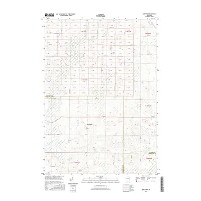
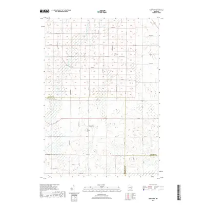
(20)- 2010 Map of Marytown, 2010 Print
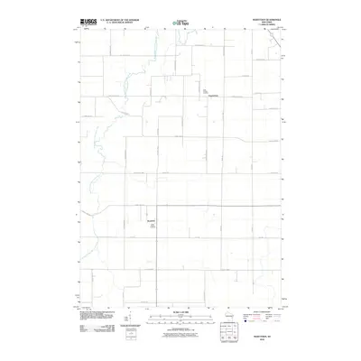 2010 Marytown2010 Print · USGSCovers Brothertown, including Charlesburg, Russell, and other nearby areas
 - 2010 Map of Stockbridge, 2010 Print
 2010 Stockbridge2010 Print · USGSCovers Brothertown, including Harrison, Stockbridge, and other nearby areas
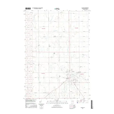
 - 2010 Map of Chilton, 2010 Print
 2010 Chilton2010 Print · USGSCovers Brothertown, including Harrison, Chilton, and other nearby areas
 - 2011 Map of Brothertown, 2011 Print
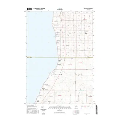
 2011 Brothertown2011 Print · USGSCovers Brothertown, including Taycheedah, Artesia Beach, and other nearby areas
 - 2013 Map of Brothertown, 2013 Print
 2013 Brothertown2013 Print · USGSCovers Brothertown, including Taycheedah, Artesia Beach, and other nearby areas
 - 2013 Map of Stockbridge, 2013 Print
 2013 Stockbridge2013 Print · USGSCovers Brothertown, including Harrison, Stockbridge, and other nearby areas
 - 2013 Map of Chilton, 2013 Print
 2013 Chilton2013 Print · USGSCovers Brothertown, including Harrison, Chilton, and other nearby areas
 - 2013 Map of Marytown, 2013 Print
 2013 Marytown2013 Print · USGSCovers Brothertown, including Charlesburg, Russell, and other nearby areas
 - 2015 Map of Brothertown, 2015 Print
 2015 Brothertown2015 Print · USGSCovers Brothertown, including Taycheedah, Artesia Beach, and other nearby areas
 - 2015 Map of Marytown, 2015 Print
 2015 Marytown2015 Print · USGSCovers Brothertown, including Charlesburg, Russell, and other nearby areas
 - 2016 Map of Chilton, 2016 Print
 2016 Chilton2016 Print · USGSCovers Brothertown, including Harrison, Chilton, and other nearby areas
 - 2016 Map of Stockbridge, 2016 Print
 2016 Stockbridge2016 Print · USGSCovers Brothertown, including Harrison, Stockbridge, and other nearby areas
 - 2018 Map of Marytown, 2018 Print
 2018 Marytown2018 Print · USGSCovers Brothertown, including Charlesburg, Russell, and other nearby areas
 - 2018 Map of Brothertown, 2018 Print
 2018 Brothertown2018 Print · USGSCovers Brothertown, including Taycheedah, Artesia Beach, and other nearby areas
 - 2018 Map of Stockbridge, 2018 Print
 2018 Stockbridge2018 Print · USGSCovers Brothertown, including Harrison, Stockbridge, and other nearby areas
 - 2018 Map of Chilton, 2018 Print
 2018 Chilton2018 Print · USGSCovers Brothertown, including Harrison, Chilton, and other nearby areas
 - 2022 Map of Marytown, 2022 Print
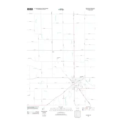
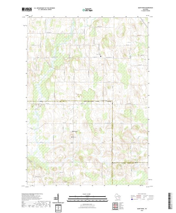 2022 Marytown2022 Print · USGSSettled farmland and rural crossroads define this Calumet County region during the early twenty-first century. Researchers can locate ancestral landmarks like Saint Marys Cem and Marytown, or trace the path of the South Branch Manitowoc River.
 - 2022 Map of Chilton, 2022 Print
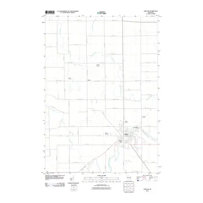
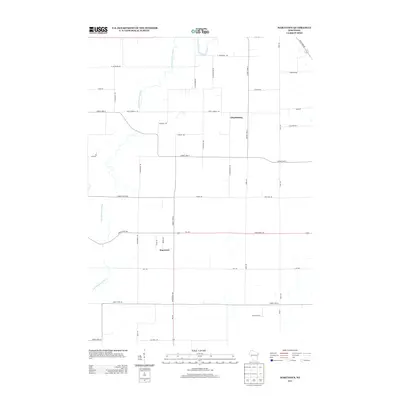
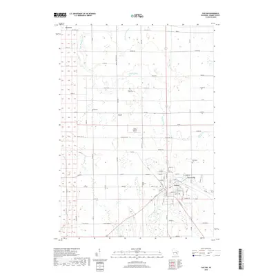
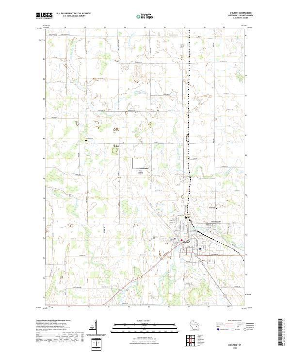 2022 Chilton2022 Print · USGSCalumet County's seat of government and its surrounding farmsteads are documented here in the early twenty-first century. Genealogists can trace family connections through numerous local burial grounds including Portland Cem, Saint Luke Lutheran Cem, and the Hillside Cem.
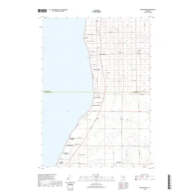
 - 2022 Map of Brothertown, 2022 Print
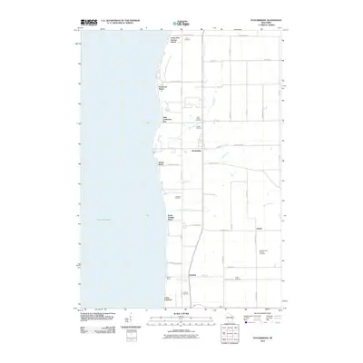
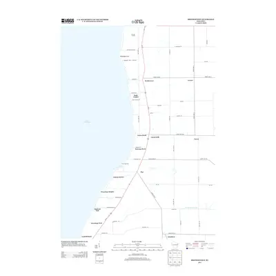
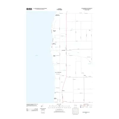
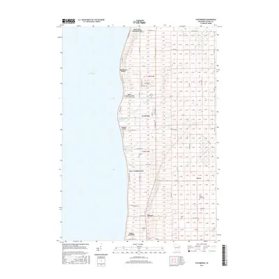
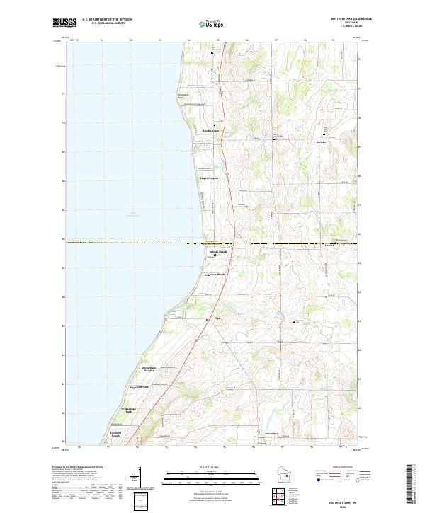 2022 Brothertown2022 Print · USGSThe eastern shore of Lake Winnebago comes into focus here during the early 2020s, showing a blend of lakeside communities and rural heritage. Genealogists and local historians can trace family roots through numerous sites like the Dick Family Cem, Holy Trinity Cem, and Union Cem.
 - 2022 Map of Stockbridge, 2022 Print
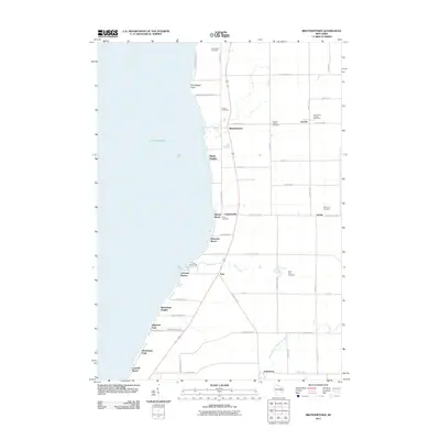
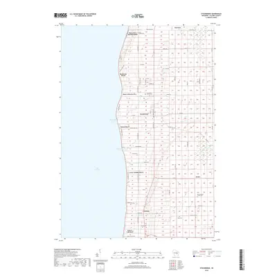
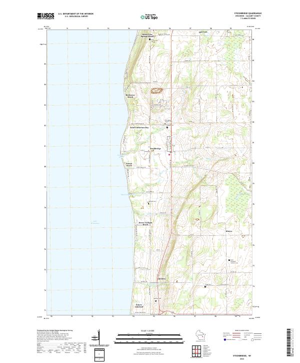 2022 Stockbridge2022 Print · USGSThe eastern shore of Lake Winnebago comes into focus in this recent survey of Calumet County. Genealogists and local researchers can trace a network of historic burial sites, from the Indian Cem and Quinney Cem to the family-named Dorn Family Cem.
End of results
Showing maps 1-20 of 20
Top cities near Brothertown
- Fond du Lac historical maps
- Neenah historical maps
- Fox Crossing historical maps
- Menasha historical maps
- Harrison historical maps
- Taycheedah historical maps
See more
Top neighborhoods of Brothertown
- Charlesburg historical maps
- Jericho historical maps
- Maple Heights historical maps
- Brothertown Beach historical maps
- Elmwood Beach historical maps
- Gladwater Beach historical maps
See more
Frequently asked questions
- What are the different types of historical maps available for Brothertown?
- What is the oldest map of Brothertown?
- Where can I purchase historical maps of Brothertown for my home or office?
- Where can I download high-res historical maps of Brothertown?
- Are there historical topographic maps available for Brothertown?
- Is there historical aerial imagery available for Brothertown?
- Where are historical maps of Brothertown sourced from?