2000s (21st Century) Maps of Fremont, Wisconsin
Explore 20 historic maps of Fremont from the 2000s (21st Century). These maps offer a rare glimpse into what life looked like during the 2000s — showing old roads, neighborhoods, homes, and landmarks that have changed or disappeared over time.
Whether you're researching your family's past, planning a metal detecting trip, or studying how Fremont's landscape evolved across the 2000s, these high-resolution maps are a powerful tool for exploring the history of this region.
- Focus on a specific era: All maps on this page are from the 2000s, giving you a focused view of this time period.
- See what’s changed: Compare century-old streets, trails, and buildings to today's modern landscape using overlays and satellite layers.
- Research with precision: Use these maps for genealogy, historical research, land use analysis, or educational projects.
- View, download, or print: Maps are fully viewable online in high resolution, and can be downloaded or printed for your own records.
Start exploring Fremont's history through authentic maps from the 2000s. This is your window into the past.
Fremont, WI maps
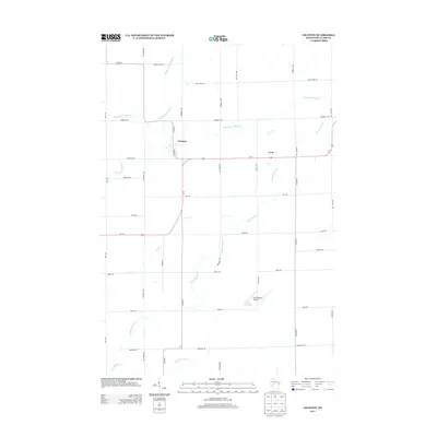
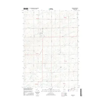
(20)- 2010 Map of Lindsey, 2010 Print
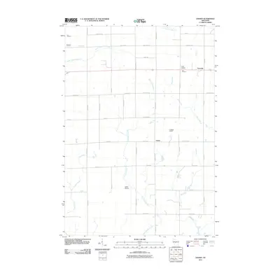 2010 Lindsey2010 Print · USGSCovers Fremont, including Lynn, Sherwood, and other nearby areas
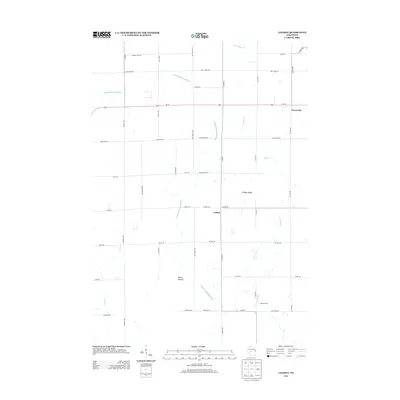
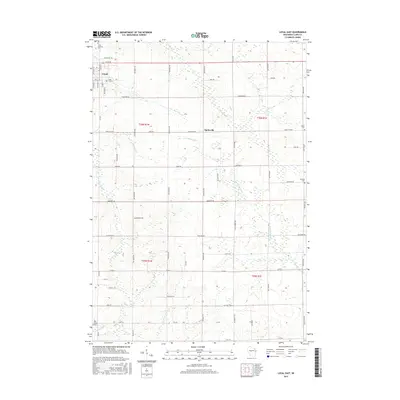
 - 2010 Map of Loyal East, 2010 Print
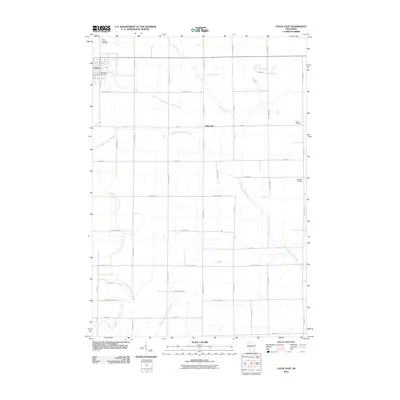 2010 Loyal East2010 Print · USGSCovers Fremont, including Loyal, Sherman, and other nearby areas
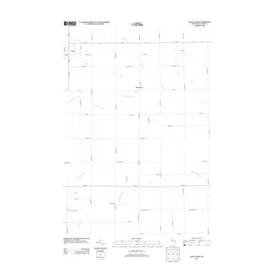
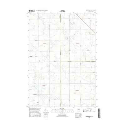
 - 2010 Map of Spencer South, 2010 Print
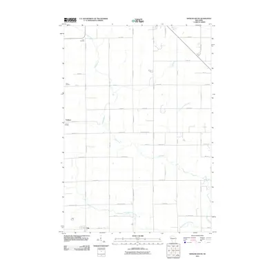 2010 Spencer South2010 Print · USGSCovers Fremont, including Spencer, Chili, and other nearby areas
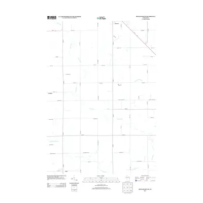
 - 2010 Map of Granton, 2010 Print
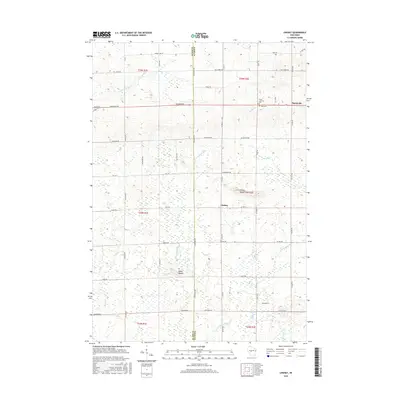
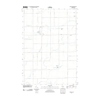 2010 Granton2010 Print · USGSCovers Fremont, including Lynn, Granton, and other nearby areas
 - 2013 Map of Granton, 2013 Print
 2013 Granton2013 Print · USGSCovers Fremont, including Lynn, Granton, and other nearby areas
 - 2013 Map of Lindsey, 2013 Print
 2013 Lindsey2013 Print · USGSCovers Fremont, including Lynn, Sherwood, and other nearby areas
 - 2013 Map of Loyal East, 2013 Print
 2013 Loyal East2013 Print · USGSCovers Fremont, including Loyal, Sherman, and other nearby areas
 - 2013 Map of Spencer South, 2013 Print
 2013 Spencer South2013 Print · USGSCovers Fremont, including Spencer, Chili, and other nearby areas
 - 2015 Map of Granton, 2015 Print
 2015 Granton2015 Print · USGSCovers Fremont, including Lynn, Granton, and other nearby areas
 - 2015 Map of Loyal East, 2015 Print
 2015 Loyal East2015 Print · USGSCovers Fremont, including Loyal, Sherman, and other nearby areas
 - 2015 Map of Lindsey, 2015 Print
 2015 Lindsey2015 Print · USGSCovers Fremont, including Lynn, Sherwood, and other nearby areas
 - 2015 Map of Spencer South, 2015 Print
 2015 Spencer South2015 Print · USGSCovers Fremont, including Spencer, Chili, and other nearby areas
 - 2018 Map of Spencer South, 2018 Print
 2018 Spencer South2018 Print · USGSCovers Fremont, including Spencer, Chili, and other nearby areas
 - 2018 Map of Granton, 2018 Print
 2018 Granton2018 Print · USGSCovers Fremont, including Lynn, Granton, and other nearby areas
 - 2018 Map of Loyal East, 2018 Print
 2018 Loyal East2018 Print · USGSCovers Fremont, including Loyal, Sherman, and other nearby areas
 - 2018 Map of Lindsey, 2018 Print
 2018 Lindsey2018 Print · USGSCovers Fremont, including Lynn, Sherwood, and other nearby areas
 - 2022 Map of Lindsey, 2022 Print
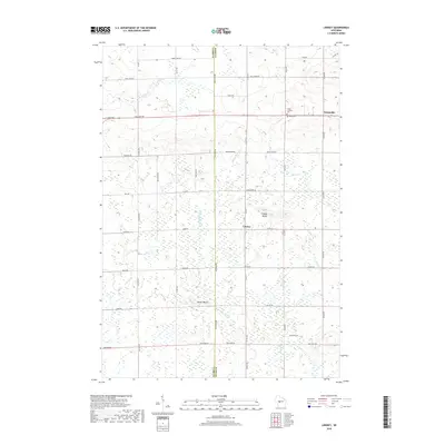
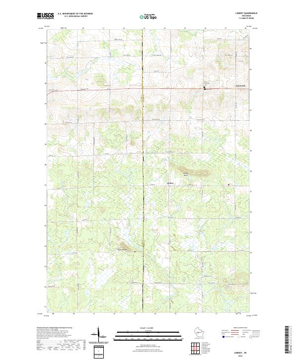 2022 Lindsey2022 Print · USGSWood County agricultural and forest lands are captured in the early 2020s, centered on the communities of Lindsey and Nasonville. Researchers can trace family history and landmarks at Rock Cem, Lindsey Bluffs, and the distinct Epsey Mound.
 - 2022 Map of Loyal East, 2022 Print
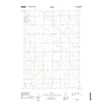
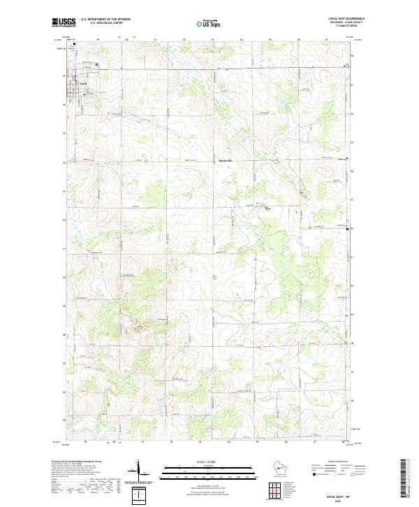 2022 Loyal East2022 Print · USGSClark County dairy country is captured in the early 2020s, showing a landscape shaped by rural tradition and systematic land division. Researchers can trace family history through sites like Loyal City Cem or the rural Spokeville crossroads.
 - 2022 Map of Granton, 2022 Print
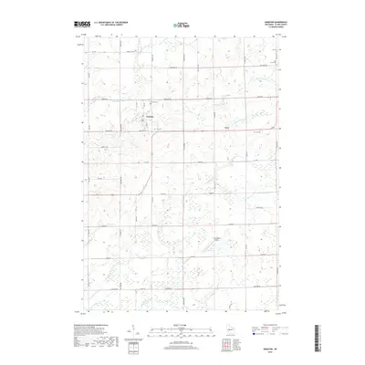
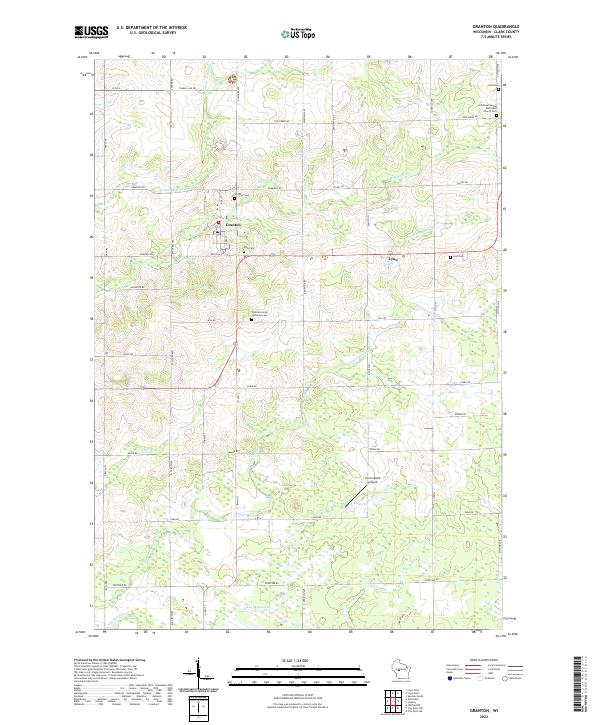 2022 Granton2022 Print · USGSGranton and the surrounding Clark County countryside appear in this contemporary survey of central Wisconsin. Researchers can trace local genealogy at Windfall Cem, Lynn Cem, or Yolo Cem and locate rural landmarks like Cunningham Airport.
 - 2022 Map of Spencer South, 2022 Print
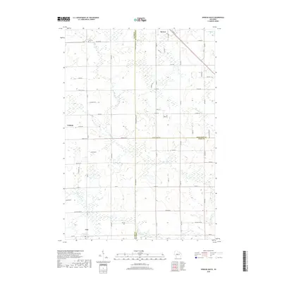
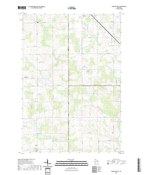 2022 Spencer South2022 Print · USGSThe rural borderlands of Clark, Wood, and Marathon Counties are detailed here in 2022. Genealogists and local researchers can locate the Coles Cem and trace the paths of the Soo Line railroad near Spencer, Chili, and Veefkind.
End of results
Showing maps 1-20 of 20
Top cities near Fremont
- Marshfield historical maps
- Neillsville historical maps
- McMillan historical maps
- Spencer historical maps
- Loyal historical maps
- Greenwood historical maps
See more
Top neighborhoods of Fremont
Frequently asked questions
- What are the different types of historical maps available for Fremont?
- What is the oldest map of Fremont?
- Where can I purchase historical maps of Fremont for my home or office?
- Where can I download high-res historical maps of Fremont?
- Are there historical topographic maps available for Fremont?
- Is there historical aerial imagery available for Fremont?
- Where are historical maps of Fremont sourced from?