Old Maps of Washburn, Wisconsin for Hiking & Exploration
Hike through history with 33 historic maps of Washburn. Explore old trails, ghost towns, and forgotten backroads — perfect for outdoor adventurers and local explorers.
- Rediscover forgotten places: Map out old mining camps, roads, and footpaths that no longer exist on modern maps.
- Layer with modern tools: Combine with LiDAR or satellite views to plan hikes through historical terrain.
- Made for exploration: Popular among hikers, overlanders, and local history lovers.
Use these maps to find adventure and explore the hidden past of Washburn.
Washburn, WI maps
(33)- 1953 Map of Neillsville, 1955 Print
 1953 Neillsville1955 Print · USGSMid-century Clark County comes into focus as a landscape of rural school districts and evolving rail corridors. Genealogists and historians can trace family locations through sites like Willard National Cemetery, York Center Ch, and over a dozen country schools including Ortole Hill Sch.2 unique versions available
 - 1953 Map of Eau Claire, 1965 Print
 1953 Eau Claire1965 Print · USGSWest-central Wisconsin in the mid-fifties shows a landscape of river-valley industry and vast wildlife refuges during the transition from rails to modern highways. Genealogists and historians can trace the rail corridors of the Chicago and North Western or locate family-named landmarks like Decorah Mound and Chippewa Island.4 unique versions available
 - 1954 Map of Granton, 1956 Print
 1954 Granton1956 Print · USGSCentral Wisconsin's farming heartland and rural school network are preserved here during the mid-1950s. Genealogists can locate family-named landmarks and institutions like Spokeville Sch, Grace Ch, and the high ground of Lindsey Bluffs.2 unique versions available
 - 1957 Map of City Point, 1960 Print
 1957 City Point1960 Print · USGSJackson and Clark Counties are shown here in the late fifties, dominated by the timber and cranberry industries of the Central Wisconsin Sand County. Genealogists and historians can locate rural landmarks like Audubon Sch, Martyrs Cem, and the old rail siding at Spaulding.2 unique versions available
 - 1958 Map of Eau Claire
 1958 Eau Claire1958 Print · USGSWestern Wisconsin in the late fifties shows a landscape of growing regional hubs and massive wildlife refuges. Trace the rail lines of the Chicago and North Western between Eau Claire and Marshfield, or explore the terrain around Iron Mound and Lake Wissota.
 - 1958 Map of Hatfield, 1960 Print
 1958 Hatfield1960 Print · USGSIn the late fifties, the central Wisconsin lake country was defined by its vast flowage systems and timbered mounds. Researchers can trace rural school locations like Carlyle Sch and explore old transport routes through Komensky Station or along an old railroad grade.
 - 1964 Map of Eau Claire
 1964 Eau Claire1964 Print · USGSWest-central Wisconsin in the mid-1960s was a hub of river-driven industry and expanding rail networks. Researchers can trace historic homesteads near Menomonie, follow the Soo Line RR through Marshfield, or explore the grounds of the Camp McCoy Military Reservation.
 - 1970 Map of City Point NW, 1972 Print
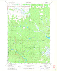 1970 City Point NW1972 Print · USGSCentral Wisconsin's wetland-rich borderlands are documented here at a time when the East Fork Black River and local marshlands defined the landscape. Genealogists and researchers can trace the settlement at Pray and find specific landmarks like the isolated Grave and Amundson Marsh.2 unique versions available
 - 1970 Map of Hatfield NE, 1972 Print
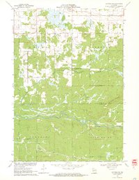 1970 Hatfield NE1972 Print · USGSCentral Wisconsin timber and marshlands appear in detail during the early seventies, centered on the community of Shortville. Researchers can trace the meandering path of the East Fork Black River and locate the drainage of Rock Creek through the surrounding township lands.3 unique versions available
 - 1979 Map of Granton, 1980 Print
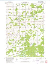 1979 Granton1980 Print · USGSGranton and the surrounding Clark County townships are shown in the late 1970s as the railroad still influenced the local economy. Researchers can locate numerous local cemeteries like Windfall Cem and Yolo Cem, along with the Zion Ch.
 - 1979 Map of Neillsville, 1980 Print
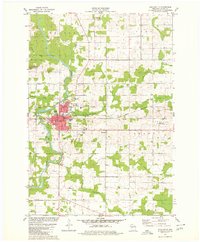 1979 Neillsville1980 Print · USGSNeillsville and the Black River valley are shown in the late 1970s as the local rail and industrial landscape remained active. Researchers can trace the Chicago and North Western line, locate the St John Sch, or explore the Neillsville Mounds.
 - 1984 Map of Marshfield, 1985 Print
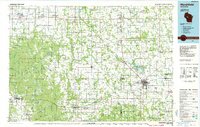 1984 Marshfield1985 Print · USGSCentral Wisconsin's dairy heartland comes into focus during the mid-eighties as a busy network of rail and farm towns. Researchers can trace the path of the Soo Line, identify the grounds of McMillan State Wildlife Area, and locate smaller settlements like Spokeville and Tioga.2 unique versions available
 - 1985 Map of Black River Falls
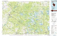 1985 Black River Falls1985 Print · USGSCentral Wisconsin in the mid-1980s is defined by its sprawling wildlife refuges and the winding Black River corridor. Genealogists and researchers can trace rural settlements like Millston and Warrens or locate historical sites such as the Iron Mine and the grounds of Fort McCoy.2 unique versions available
 - 2010 Map of Hatfield NE, 2010 Print
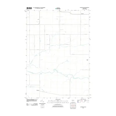 2010 Hatfield NE2010 Print · USGSShortville and the river valleys of Jackson County are captured here during a period of modern rural stability. Genealogists and local historians can trace family land near Levis Cemetery or follow the paths of Rock Creek and the East Fork Black River.
 - 2010 Map of Granton, 2010 Print
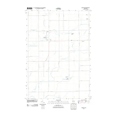 2010 Granton2010 Print · USGSGranton and the surrounding Clark County countryside appear in this detailed survey from the early 2000s. Genealogists and historians can locate family plots at Windfall Cemetery or Zion Cemetery and trace the paths of Cunningham Creek and Jack Creek.
 - 2010 Map of Neillsville, 2010 Print
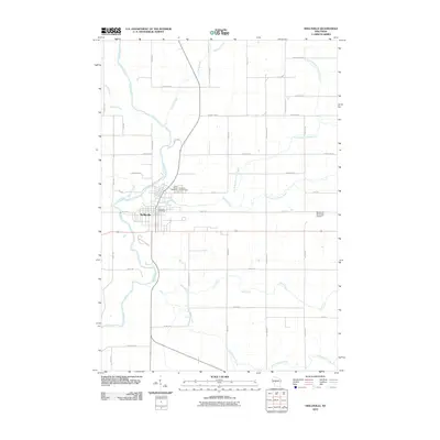 2010 Neillsville2010 Print · USGSNeillsville and its surrounding river valleys are captured here in the early twenty-first century as the region's agricultural and civic layout matured. Genealogists and local historians can locate family plots at Saint Marys Cemetery or trace the winding paths of the Black River and O'Neill Creek.
 - 2010 Map of City Point NW, 2010 Print
 2010 City Point NW2010 Print · USGSThe Clark County backcountry at the start of the 2010s shows a landscape of managed watersheds and forest roads. Researchers can trace the drainage of the East Fork Black River and locate distinctive landmarks like Qualley E1854 Dam and Sherwood Lake 15.
 - 2013 Map of Granton, 2013 Print
 2013 Granton2013 Print · USGSCentral Wisconsin's rural landscape is mapped here in the early 2010s, centered on the villages of Granton and Lynn. Genealogists and local historians can trace the creek-side settlements along Cunningham Cr and the small-scale aviation at Cunningham Airport.
 - 2013 Map of Hatfield NE, 2013 Print
 2013 Hatfield NE2013 Print · USGSShortville and the surrounding rural Jackson County landscape are captured here in the early twenty-first century. Researchers can trace the path of the East Fork Black River or locate the settlement of Waterbury and the historic Old Hwy 54 corridor.
 - 2013 Map of City Point NW, 2013 Print
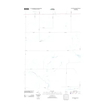 2013 City Point NW2013 Print · USGSWisconsin's northern woods and wetlands come into focus here in the early twenty-first century. Genealogists and outdoorsmen can trace the rural road network and water features like Washwood Pond, Sherwood Lake, and the winding East Fork Black River.
 - 2013 Map of Neillsville, 2013 Print
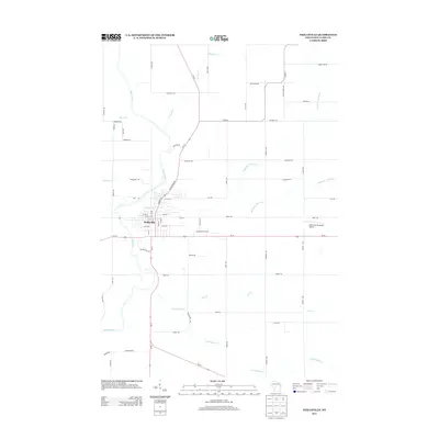 2013 Neillsville2013 Print · USGSNeillsville and its surrounding Clark County countryside appear in the early 21st century as the Black River flows past the town's historic core. Researchers can trace the local drainage systems of O'Neill Creek or locate the Neillsville Municipal Airport.
 - 2015 Map of Granton, 2015 Print
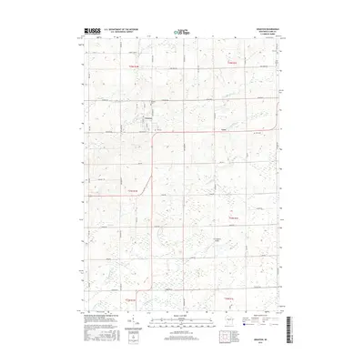 2015 Granton2015 Print · USGSCentral Clark County is shown in this modern era as a landscape of steady agricultural tradition and small-town roots. Researchers can locate family landmarks like Windfall Cem or Zion Cem and trace the paths of Cunningham Cr and Jack Cr.
 - 2015 Map of City Point NW, 2015 Print
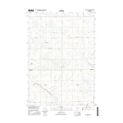 2015 City Point NW2015 Print · USGSThe Clark and Jackson County line meets in these Wisconsin wetlands during the mid-2010s, showing a landscape shaped by the East Fork Black River. Researchers can locate the settlement of Pray and trace hydrological features like Sherwood Lake and Ammundson Marsh.
 - 2015 Map of Hatfield NE, 2015 Print
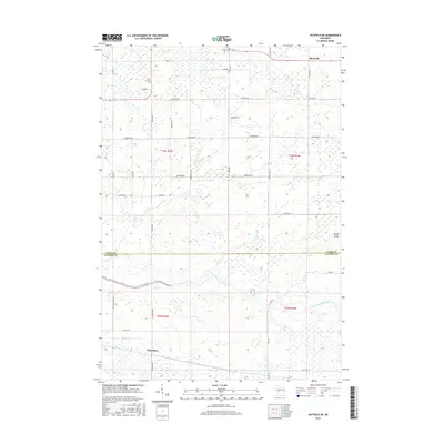 2015 Hatfield NE2015 Print · USGSThe Clark and Jackson County line area comes into focus in this mid-2010s survey, highlighting a landscape defined by the East Fork Black River. Researchers can trace the rural communities of Shortville and Waterbury or locate family history at Levis Cemetery.
 - 2015 Map of Neillsville, 2015 Print
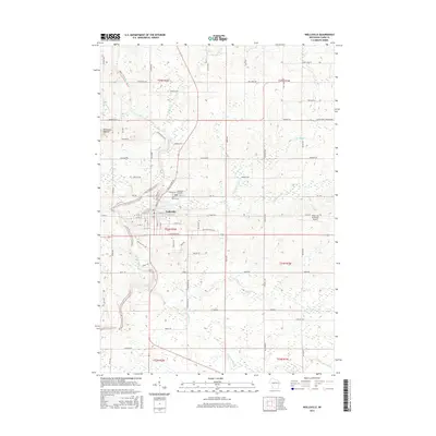 2015 Neillsville2015 Print · USGSNeillsville sits at the bend of the Black River in Clark County during the mid-2010s, showing a blend of civic infrastructure and rural terrain. Researchers can find precise locations for Neillsville City Cem, the Neillsville Mounds, and the Neillsville Municipal Airport.
Showing maps 1-25 of 33
Top cities near Washburn
- Brockway historical maps
- Neillsville historical maps
- Lynn historical maps
- Granton historical maps
- Sherwood historical maps
- City Point historical maps
See more
Top neighborhoods of Washburn
Frequently asked questions
- What are the different types of historical maps available for Washburn?
- What is the oldest map of Washburn?
- Where can I purchase historical maps of Washburn for my home or office?
- Where can I download high-res historical maps of Washburn?
- Are there historical topographic maps available for Washburn?
- Is there historical aerial imagery available for Washburn?
- Where are historical maps of Washburn sourced from?