Old Maps of Hawthorne, Wisconsin for Metal Detecting
Plan your next treasure hunt with 51 historic maps of Hawthorne. Find old homesites, ghost towns, trails, and gathering spots that may be lost to time — perfect for identifying promising metal detecting locations.
- Locate forgotten sites: Uncover places like long-lost settlements, abandoned rail lines, or gathering spots.
- Plan better hunts: Use map overlays combined with LiDAR or satellite views to narrow in on historically rich areas.
- Made for detectorists: Thousands of hobbyists use these maps to discover relics, coins, and hidden history.
Use these historic maps to boost your research and find new opportunities beneath the surface of Hawthorne.
Hawthorne, WI maps
(51)- 1945 Map of Highland, 1956 Print
 1945 Highland1956 Print · USGSNorthwestern Wisconsin at the end of the war is revealed here through its intricate network of glacial lakes and northern forests. Researchers can pinpoint mid-century local landmarks like the Frances Willard Sch, Barnes Cem, and the path of the Brule River.
 - 1945 Map of Solon Springs, 1957 Print
 1945 Solon Springs1957 Print · USGSWisconsin's headwaters region comes to life in the 1940s, showing the early infrastructure and wilderness of Douglas County. Researchers can trace the Old Portage Tr, locate the Sieur du Lhut Monument, and find vanished schoolhouses like Ibsen Sch.
 - 1947 Map of Brule
 1947 Brule1947 Print · USGSDouglas and Bayfield counties are seen here in the mid-1940s, where the legendary trout waters of the Bois Brule River meet the Lake Superior shoreline. Genealogists and local historians can locate early homesteading landmarks like Rest Haven Cem, St Ann Ch, and the rural community hubs of Cloverland and Maple.2 unique versions available
 - 1949 Map of Solon Springs
 1949 Solon Springs1949 Print · USGSNorthwestern Wisconsin at the end of the 1940s reveals a landscape of timber, rail, and water centered on the St. Croix headwaters. Genealogists and historians can locate rural landmarks like New Hawthorne Cem, Roosevelt Sch, and the Sieur du Lhut Monument near the rail lines at Sauntry.
 - 1949 Map of Poplar
 1949 Poplar1949 Print · USGSCoastal Douglas County in the late 1940s reveals a landscape of lakeside industry and rural townships organized along the major rail lines. Genealogists and local researchers can trace family roots through landmarks like the Middle River Sanitarium, Lakeside Cem, and the Hawthorne Tabernacle.
 - 1949 Map of Highland
 1949 Highland1949 Print · USGSDouglas County’s lake-strewn interior is captured here just after the war, showing a landscape defined by glacial waters and forestry. Genealogists can locate rural landmarks like the Frances Willard Sch, Barnes Cem, and the Barnes Town Hall.
 - 1953 Map of Ashland, 1964 Print
 1953 Ashland1964 Print · USGSNorthern Wisconsin's lakefront and timberlands are seen here in the mid-1950s, showing the intersection of industrial rail lines and vast wilderness. Genealogists and historians can trace the Soo Line through rail towns like Mellen or locate family roots in the Apostle Islands and Bad River Indian Reservation.3 unique versions available
 - 1954 Map of Lake Nebagamon, 1955 Print
 1954 Lake Nebagamon1955 Print · USGSDouglas County was a landscape of timber and transit in the mid-1950s, centered on the growing community at Lake Nebagamon. Genealogists and historians can trace rail history along the Northern Pacific or locate local landmarks like the Finnish Ch and Corner Sch.
 - 1954 Map of South Range, 1955 Print
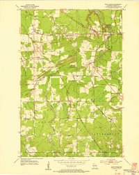 1954 South Range1955 Print · USGSDouglas County in the mid-fifties is captured here during a period of steady rail transport and local industrial activity. Researchers can locate the Middle River Sanatorium, the Oakland Ch, and trace old railroad grades near Rockmont and Hines.2 unique versions available
 - 1954 Map of Lyman Lake, 1955 Print
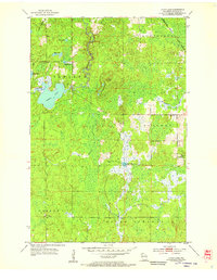 1954 Lyman Lake1955 Print · USGSDouglas County’s dense timber and lake country is captured here during the mid-fifties, before major shoreline development. Trace the route of the Minneapolis St Paul and Sault Ste Marie railroad or locate early landmarks like Pikes Peak and Lyman Lake.
 - 1954 Map of Poplar, 1955 Print
 1954 Poplar1955 Print · USGSIn the mid-1950s, this Douglas County landscape was a network of small settlements and river valleys shaped by the regional rail lines. Genealogists and local historians can trace family locations near Wentworth, identify the Von Linne Sch (Abandoned), or locate the Hawthorne Tabernacle.2 unique versions available
 - 1958 Map of Ashland
 1958 Ashland1958 Print · USGSCoastal Wisconsin and the Michigan borderlands meet here in the late fifties, dominated by the timbered expanses and iron-rich ranges. Genealogists can trace family footprints in settlements like Odanah and Montreal, or locate landmarks such as the Coast Guard Station and Agricultural Experiment Station.
 - 1961 Map of Lyman Lake, 1962 Print
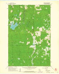 1961 Lyman Lake1962 Print · USGSDouglas County’s wilderness in the early sixties is a landscape of glacial lakes and river forks waiting to be explored. Trace the drainage of the Amnicon River or locate remote landmarks like the Bennett Lookout Tower and Three Bucks Lakes.2 unique versions available
 - 1961 Map of Lake Nebagamon, 1962 Print
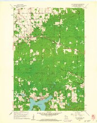 1961 Lake Nebagamon1962 Print · USGSWisconsin's northern timber and rail country is captured here during the early sixties, centered on the village of Lake Nebagamon. Genealogists and historians can trace local landmarks like Finnish Ch, the Blueberry Cem, and the Northern Pacific rail line.2 unique versions available
 - 1961 Map of Solon Springs, 1963 Print
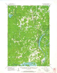 1961 Solon Springs1963 Print · USGSNorthern Wisconsin lake country is captured in the early sixties, centered on the community of Solon Springs and the headwaters of the St. Croix. Genealogists can locate Evergreen Cem and Bennett Cem while tracing the Chicago and North Western rail line.2 unique versions available
 - 1961 Map of Ellison Lake, 1963 Print
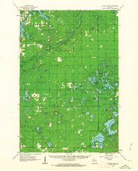 1961 Ellison Lake1963 Print · USGSNorthern Wisconsin's lake country is captured in the early sixties as a center for conservation and recreation. Researchers can trace family history at the Barnes Cem or explore the wilderness around the Bois Brule River and Lake Nebagamon.2 unique versions available
 - 1961 Map of Brule, 1963 Print
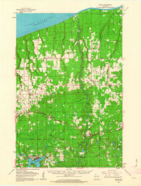 1961 Brule1963 Print · USGSNorthern Wisconsin's lake country and timberlands are captured here in the early sixties, showing the transition from the Brule River valley to the big lake. Researchers can trace family roots at Rest Haven Cem, locate the State Fish Hatchery, and follow the Northern Pacific Railroad through Blueberry.2 unique versions available
 - 1980 Map of Port Wing
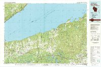 1980 Port Wing1980 Print · USGSThe Lake Superior shoreline and the deep forests of Bayfield and Douglas counties are captured here in the early eighties. Genealogists and historians can trace the rail lines through Iron River or locate the lakeside landings at Cornucopia and Port Wing.
 - 1980 Map of Solon Springs
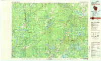 1980 Solon Springs1980 Print · USGSNorthern Wisconsin in the early eighties was a landscape of dense timber and sprawling glacial waters. Trace the legacy of the Chicago and North Western rail line through Solon Springs, Hayward, and Minong at this pivotal moment.
 - 1981 Map of Bennett, 1982 Print
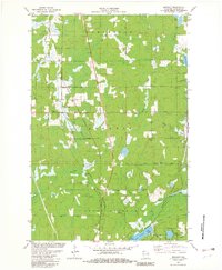 1981 Bennett1982 Print · USGSThe rural corridor between Bennett and Solon Springs is captured here in the early eighties. Genealogists and local historians can trace the Chicago and North Western line, family-named roads like Peterson Road, and sites like Bennett Cem.
 - 1984 Map of Lake Minnesuing
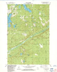 1984 Lake Minnesuing1984 Print · USGSDouglas County’s river-carved timberlands are captured here in the mid-eighties, showing the intersection of state forest conservation and lakeside settlement. You can trace family history at Highland Memorial Cem or follow the Bois Brule River past Stories Bridge Landing and McDougal Springs.
 - 2010 Map of Bennett, 2010 Print
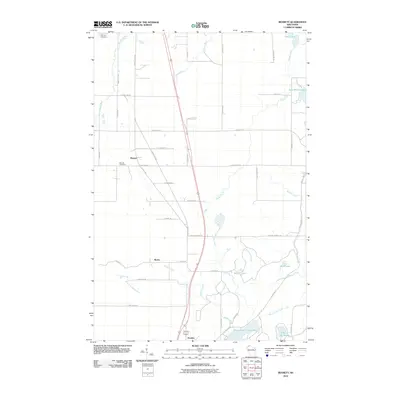 2010 Bennett2010 Print · USGSDouglas County near the turn of the millennium shows a landscape shaped by glacial waters and quiet crossroads. Genealogists and local historians can trace family locations near the Bennett Cemetery or follow the paths to Beebe and Lake Minnesuing.
 - 2010 Map of Lake Minnesuing, 2010 Print
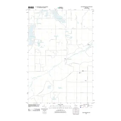 2010 Lake Minnesuing2010 Print · USGSNorthwestern Wisconsin at the turn of the decade reveals a landscape defined by the Bois Brule River and its surrounding chain of lakes. Researchers can trace local lineage at Highland Memorial Cemetery or locate old crossings at Stones Bridge and Stones Bridge Landing.
 - 2010 Map of Poplar, 2010 Print
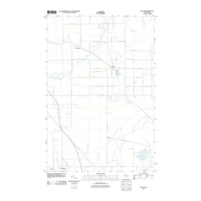 2010 Poplar2010 Print · USGSPoplar and its neighboring rural settlements are captured here in the early twenty-first century as the landscape remains defined by its northern rivers. Researchers can locate family landmarks such as Poplar Cemetery, the Poplar Dam, and the small community of Dobie.
 - 2010 Map of Lyman Lake, 2010 Print
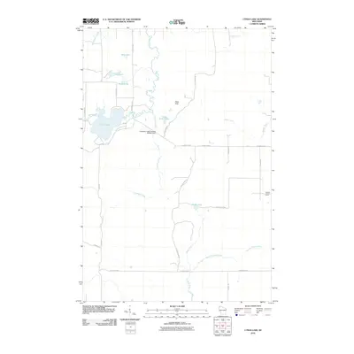 2010 Lyman Lake2010 Print · USGSDouglas County’s watery landscape is meticulously detailed in this early 21st-century record of the Hawthorne area. Local historians can trace the hydrology of the Amnicon River and locate landmarks like the Bennett Lookout Tower and Cranberry Creek Flowage 3WR402 Dam.
Showing maps 1-25 of 51
Top cities near Hawthorne
- Duluth historical maps
- Superior historical maps
- Parkland historical maps
- Lake Nebagamon historical maps
- Gordon historical maps
- Maple historical maps
See more
Top neighborhoods of Hawthorne
Frequently asked questions
- What are the different types of historical maps available for Hawthorne?
- What is the oldest map of Hawthorne?
- Where can I purchase historical maps of Hawthorne for my home or office?
- Where can I download high-res historical maps of Hawthorne?
- Are there historical topographic maps available for Hawthorne?
- Is there historical aerial imagery available for Hawthorne?
- Where are historical maps of Hawthorne sourced from?