Old Maps of Fond du Lac County, Wisconsin for Metal Detecting
Plan your next treasure hunt with 74 historic maps of Fond du Lac County. Find old homesites, ghost towns, trails, and gathering spots that may be lost to time — perfect for identifying promising metal detecting locations.
- Locate forgotten sites: Uncover places like long-lost settlements, abandoned rail lines, or gathering spots.
- Plan better hunts: Use map overlays combined with LiDAR or satellite views to narrow in on historically rich areas.
- Made for detectorists: Thousands of hobbyists use these maps to discover relics, coins, and hidden history.
Use these historic maps to boost your research and find new opportunities beneath the surface of Fond du Lac County.
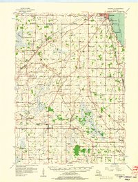
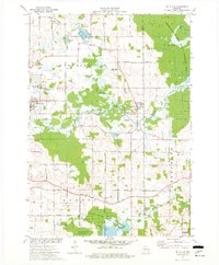
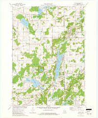
Fond du Lac County, WI maps
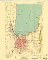
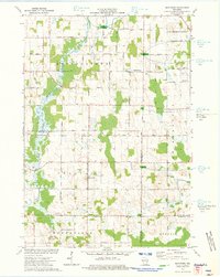
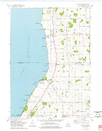
(74)- 1910 Map of Fond du Lac
 1910 Fond du Lac1910 Print · USGSCovers Fond du Lac County, including Fond du Lac, North Fond du Lac, and other nearby areas2 unique versions available
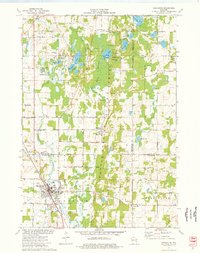
 - 1916 Map of Ripon
 1916 Ripon1916 Print · USGSCovers Fond du Lac County, including Ripon, Berlin, and other nearby areas
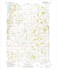
 - 1918 Map of Ripon
 1918 Ripon1918 Print · USGSCovers Fond du Lac County, including Ripon, Berlin, and other nearby areas
 - 1954 Map of Kiel, 1956 Print
 1954 Kiel1956 Print · USGSCovers Fond du Lac County, including Plymouth, New Holstein, and other nearby areas2 unique versions available
 - 1955 Map of Waupun, 1957 Print
 1955 Waupun1957 Print · USGSCovers Fond du Lac County, including Mayville, Waupun, and other nearby areas2 unique versions available
 - 1955 Map of Campbellsport, 1957 Print
 1955 Campbellsport1957 Print · USGSCovers Fond du Lac County, including Fond du Lac, Kewaskum, and other nearby areas2 unique versions available
 - 1955 Map of Fox Lake, 1957 Print
 1955 Fox Lake1957 Print · USGSCovers Fond du Lac County, including Beaver Dam, Waupun, and other nearby areas
 - 1955 Map of Kewaskum, 1957 Print
 1955 Kewaskum1957 Print · USGSCovers Fond du Lac County, including Kewaskum, Greenbush, and other nearby areas4 unique versions available
 - 1955 Map of Fond Du Lac, 1957 Print
 1955 Fond Du Lac1957 Print · USGSCovers Fond du Lac County, including Fond du Lac, North Fond du Lac, and other nearby areas2 unique versions available
 - 1955 Map of Fond Du Lac, 1966 Print
 1955 Fond Du Lac1966 Print · USGSCovers Fond du Lac County, including Fond du Lac, North Fond du Lac, and other nearby areas2 unique versions available
 - 1956 Map of Ripon, 1957 Print
 1956 Ripon1957 Print · USGSCovers Fond du Lac County, including Ripon, Berlin, and other nearby areas
 - 1956 Map of Rosendale, 1957 Print
 1956 Rosendale1957 Print · USGSCovers Fond du Lac County, including Oshkosh, North Fond du Lac, and other nearby areas2 unique versions available
 - 1957 Map of Madison, 1967 Print
 1957 Madison1967 Print · USGSCovers Fond du Lac County, including Milwaukee, Madison, and other nearby areas3 unique versions available
 - 1960 Map of Madison
 1960 Madison1960 Print · USGSCovers Fond du Lac County, including Milwaukee, Madison, and other nearby areas2 unique versions available
 - 1974 Map of St. Cloud, 1977 Print
 1974 St. Cloud1977 Print · USGSCovers Fond du Lac County, including Greenbush, Mount Calvary, and other nearby areas
 - 1974 Map of Dundee, 1977 Print
 1974 Dundee1977 Print · USGSCovers Fond du Lac County, including Greenbush, Mitchell, and other nearby areas2 unique versions available
 - 1974 Map of Marytown, 1977 Print
 1974 Marytown1977 Print · USGSCovers Fond du Lac County, including Brothertown, Calumet, and other nearby areas
 - 1974 Map of Kewaskum, 1977 Print
 1974 Kewaskum1977 Print · USGSCovers Fond du Lac County, including Kewaskum, Scott, and other nearby areas
 - 1974 Map of St. Peter, 1978 Print
 1974 St. Peter1978 Print · USGSCovers Fond du Lac County, including Fond du Lac, Taycheedah, and other nearby areas
 - 1974 Map of Fahrney Point, 1978 Print
 1974 Fahrney Point1978 Print · USGSCovers Fond du Lac County, including Black Wolf, Friendship, and other nearby areas
 - 1974 Map of Brothertown, 1978 Print
 1974 Brothertown1978 Print · USGSCovers Fond du Lac County, including Taycheedah, Brothertown, and other nearby areas
 - 1974 Map of Campbellsport, 1978 Print
 1974 Campbellsport1978 Print · USGSCovers Fond du Lac County, including Kewaskum, Wayne, and other nearby areas
 - 1974 Map of Eden, 1978 Print
 1974 Eden1978 Print · USGSCovers Fond du Lac County, including Ashford, Eden, and other nearby areas
 - 1974 Map of Byron, 1978 Print
 1974 Byron1978 Print · USGSCovers Fond du Lac County, including Fond du Lac, Lomira, and other nearby areas
 - 1974 Map of Lomira, 1978 Print
 1974 Lomira1978 Print · USGSCovers Fond du Lac County, including Lomira, Wayne, and other nearby areas
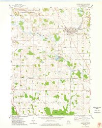
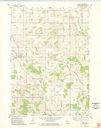
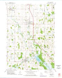
Showing maps 1-25 of 74
Top cities of Fond du Lac County
- Fond du Lac historical maps
- Ripon historical maps
- North Fond du Lac historical maps
- Taycheedah historical maps
- Campbellsport historical maps
- Ashford historical maps
See more
Frequently asked questions
- What are the different types of historical maps available for Fond du Lac County?
- What is the oldest map of Fond du Lac County?
- Where can I purchase historical maps of Fond du Lac County for my home or office?
- Where can I download high-res historical maps of Fond du Lac County?
- Are there historical topographic maps available for Fond du Lac County?
- Is there historical aerial imagery available for Fond du Lac County?
- Where are historical maps of Fond du Lac County sourced from?