2000s (21st Century) Maps of Clifton, Wisconsin
Explore 20 historic maps of Clifton from the 2000s (21st Century). These maps offer a rare glimpse into what life looked like during the 2000s — showing old roads, neighborhoods, homes, and landmarks that have changed or disappeared over time.
Whether you're researching your family's past, planning a metal detecting trip, or studying how Clifton's landscape evolved across the 2000s, these high-resolution maps are a powerful tool for exploring the history of this region.
- Focus on a specific era: All maps on this page are from the 2000s, giving you a focused view of this time period.
- See what’s changed: Compare century-old streets, trails, and buildings to today's modern landscape using overlays and satellite layers.
- Research with precision: Use these maps for genealogy, historical research, land use analysis, or educational projects.
- View, download, or print: Maps are fully viewable online in high resolution, and can be downloaded or printed for your own records.
Start exploring Clifton's history through authentic maps from the 2000s. This is your window into the past.
Clifton, WI maps
(20)- 2010 Map of Rewey, 2010 Print
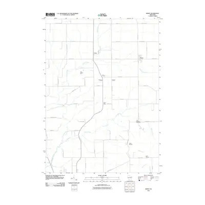 2010 Rewey2010 Print · USGSGrant County farmland and the rising elevations of the Platte Mounds characterize this area during the early twenty-first century. Genealogists and local historians can locate the Walnut Grove School and rural burials at McReynolds Cemetery or Lydia Cemetery.
 - 2010 Map of Ellenboro, 2010 Print
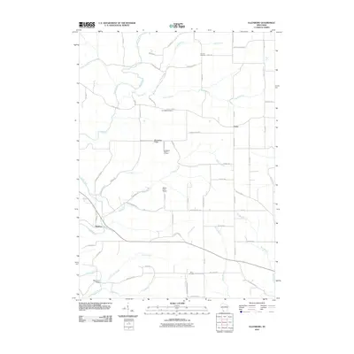 2010 Ellenboro2010 Print · USGSGrant County in the early twenty-first century remains a landscape of deep river valleys and prominent ridges. Genealogists and local historians can trace family ties at Buckwheat Ridge Cemetery, Whig Cemetery, and the historic crossing at Baker Ford Bridge.
 - 2010 Map of Stitzer, 2010 Print
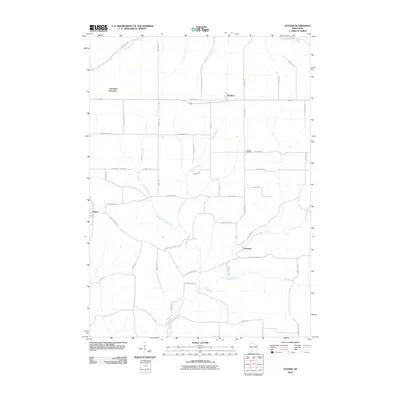 2010 Stitzer2010 Print · USGSGrant County farmstead life and the rural road network are preserved here during the first decade of the millennium. Researchers can trace family ties at Ebenezer Cemetery or explore the origins of small hubs like Stitzer and Annaton.
 - 2010 Map of Montfort, 2010 Print
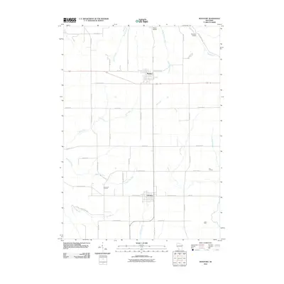 2010 Montfort2010 Print · USGSMontfort and Livingston are captured at the start of the 2010s, showcasing the agricultural and mining heritage of southwestern Wisconsin. Genealogists and historians can trace family burial sites at Zion Cemetery and Rock Church Cemetery or locate the historic Mifflin Mine.
 - 2013 Map of Montfort, 2013 Print
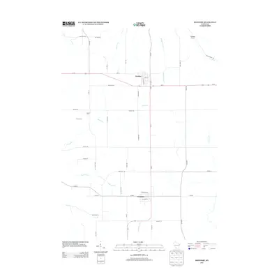 2013 Montfort2013 Print · USGSThe Driftless Area of Southwest Wisconsin is captured here in the early twenty-first century, showing the rural landscapes around Montfort and Livingston. Researchers can trace local land use through family-named sites like Stivarius Farm and the winding course of the Platte River.
 - 2013 Map of Stitzer, 2013 Print
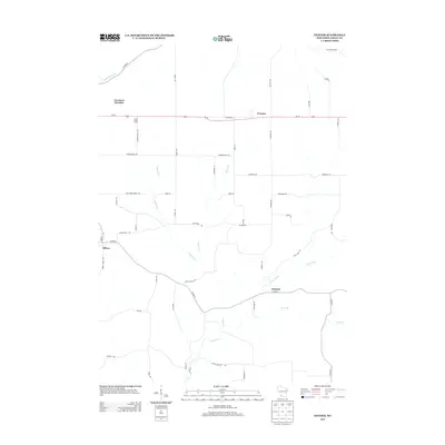 2013 Stitzer2013 Print · USGSGrant County is captured in this modern survey of the Driftless Area during the early twenty-first century. Genealogists and local historians can trace family land near Larch Grove Farm or explore the intersections at Stitzer, Annaton, and Preston.
 - 2013 Map of Ellenboro, 2013 Print
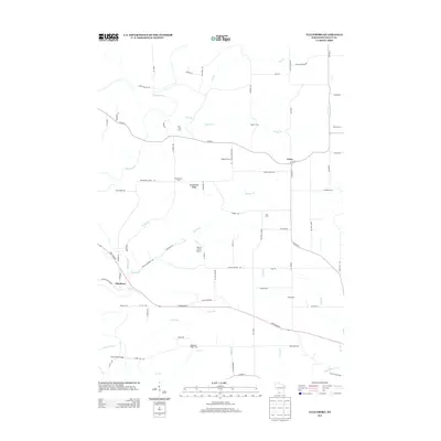 2013 Ellenboro2013 Print · USGSGrant County’s agricultural character is preserved in this recent record of the Driftless Area. Local researchers can trace family lands at Bren - Mar Farms or Nobland Farms and locate crossings like Baker Ford Bridge along the Platte River.
 - 2013 Map of Rewey, 2013 Print
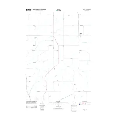 2013 Rewey2013 Print · USGSWisconsin's rolling agricultural landscape near the Grant and Iowa county line is documented here in the early 2010s. Researchers can locate family-named properties like Austin Farms and Spensley Farms or trace the drainage of the Little Platte River near Rewey.
 - 2016 Map of Ellenboro, 2016 Print
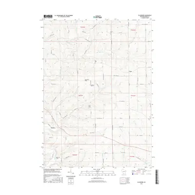 2016 Ellenboro2016 Print · USGSGrant County’s rolling agricultural uplands and deep river valleys are shown here in the mid-2010s. Researchers can trace family history through several local landmarks including Buckwheat Ridge Cem, the Whig Cem, and the crossing at Baker Ford Bridge.
 - 2016 Map of Stitzer, 2016 Print
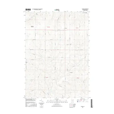 2016 Stitzer2016 Print · USGSGrant County’s agricultural heartland is documented here in the mid-2010s, showing the enduring rural layout of the driftless region. Researchers can trace historic local sites like Ebenezer Cem and old institutional markers such as Blue School Rd and Rock School Rd.
 - 2016 Map of Montfort, 2016 Print
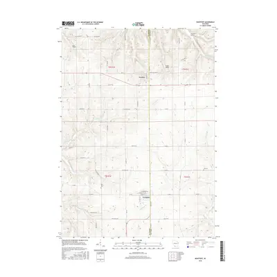 2016 Montfort2016 Print · USGSThe borderlands of Iowa and Grant counties come into focus during the mid-2010s, showing a landscape of ridge-top villages and deep coulees. Genealogists and historians can trace local landmarks like Rock Church Cem, Zion Cem, and the headwaters of the Blue River.
 - 2016 Map of Rewey, 2016 Print
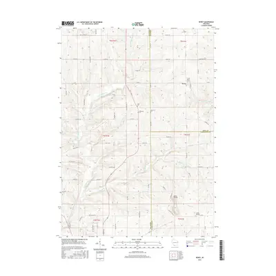 2016 Rewey2016 Print · USGSThe village of Rewey and the surrounding tri-county borderlands are captured here in the mid-2010s. Genealogists and local historians can trace early family land at Lydia Cem and McReynolds Cem, or explore the terrain near the Platte Mounds.
 - 2018 Map of Montfort, 2018 Print
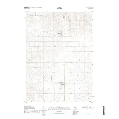 2018 Montfort2018 Print · USGSIowa and Grant counties meet in this 2018 survey of the driftless region, where ridge-top farms overlook a network of wooded hollows. Researchers can locate family sites near Rock Church Cem, the village of Livingston, and the banks of the Little Platte River.
 - 2018 Map of Rewey, 2018 Print
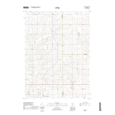 2018 Rewey2018 Print · USGSWisconsin's Driftless Area near the Grant and Iowa county line appears here in detail during the late 2010s. Local historians can trace family ties at Lydia Cem and McReynolds Cem or follow the winding courses of Mounds Br and the Little Platte River.
 - 2018 Map of Ellenboro, 2018 Print
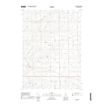 2018 Ellenboro2018 Print · USGSGrant County is shown in modern detail here, where the Platte River and Little Platte River converge amidst a network of rural ridges. Researchers can trace family history through several local burial sites, including Oak Ridge Cem and Whig Cem.
 - 2018 Map of Stitzer, 2018 Print
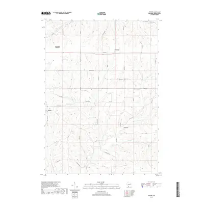 2018 Stitzer2018 Print · USGSGrant County in the late 2010s remains a landscape of deep valleys and historic ridge roads. Local historians can trace the paths of Military Road and Military Road while locating landmarks like Ebenezer Cemetery and the settlement of Stitzer.
 - 2022 Map of Rewey, 2022 Print
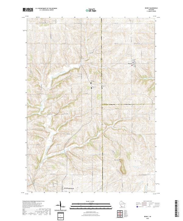 2022 Rewey2022 Print · USGSThe rural driftless area of Southwest Wisconsin is documented here in the early twenty-first century, showing the enduring boundaries of Grant, Iowa, and Lafayette counties. Researchers can trace family history at Nip and Tuck Cem or locate old farmsteads near Rewey and Little Mound.
 - 2022 Map of Ellenboro, 2022 Print
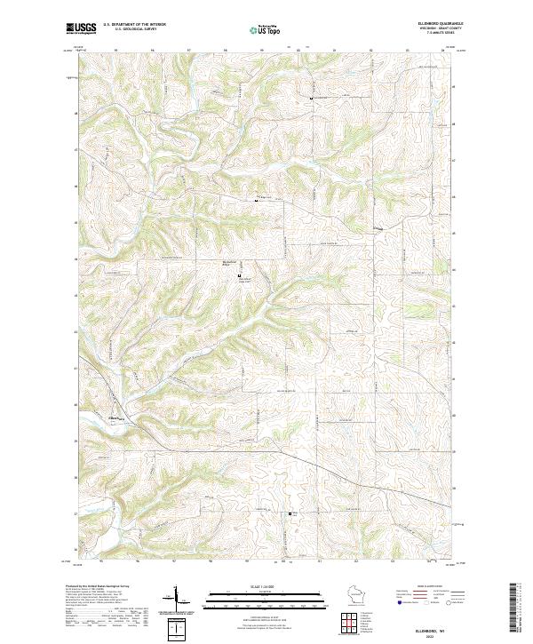 2022 Ellenboro2022 Print · USGSGrant County's river valleys and highland ridges are captured here in the early twenty-first century as the traditional agricultural layout persists. Local historians can trace family roots through sites like Buckwheat Ridge Cem, Whig Cem, and the quiet settlement of Ellenboro.
 - 2022 Map of Montfort, 2022 Print
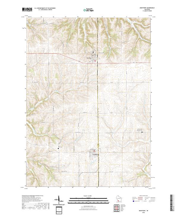 2022 Montfort2022 Print · USGSThe ridge-top communities of Montfort and Livingston are shown in the 2020s amidst the complex valley systems of the Driftless Area. Researchers can locate family landmarks like Hill Crest Cem or the distinctively named Little German Church On Top Of The Hill Cem.
 - 2022 Map of Stitzer, 2022 Print
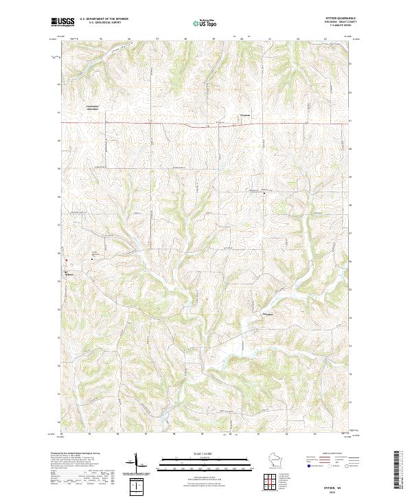 2022 Stitzer2022 Print · USGSGrant County is captured in this recent survey, showing a landscape defined by the winding Platte River and traditional farm-to-market roads. Researchers can locate family roots at the Stitzer Methodist Cem or trace the early paths of Military Rd near Annaton.
End of results
Showing maps 1-20 of 20
Top cities near Clifton
- Platteville historical maps
- Lancaster historical maps
- Boscobel historical maps
- Fennimore historical maps
- Belmont historical maps
- Highland historical maps
See more
Top neighborhoods of Clifton
Frequently asked questions
- What are the different types of historical maps available for Clifton?
- What is the oldest map of Clifton?
- Where can I purchase historical maps of Clifton for my home or office?
- Where can I download high-res historical maps of Clifton?
- Are there historical topographic maps available for Clifton?
- Is there historical aerial imagery available for Clifton?
- Where are historical maps of Clifton sourced from?