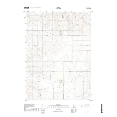
2018 Map of Montfort
USGS Topo · Published 2018About this map
Montfort and Livingston anchor this Iowa and Grant County borderlands area, where the terrain is deeply defined by narrow drainages and ridge-top roads. The landscape is carved by the headwaters of the Platte River and the Little Platte River, along with numerous named hollows such as Cass Hollow and Badger Hollow that cut through the undulating upland. This topography dictated a settlement pattern of winding valley routes like Martinville Rd and straighter ridge roads like Rte 66.
Find a feature on this map
54 named features on this map. Tap any name to fly to it.
Don’t see what you’re looking for? This feature index may not catch every label — zoom into the map to look around manually.
Map Details
Editions of this 2018 Montfort Map
This is the sole edition of this map. No revisions or reprints were ever made.
Other maps of this area

1900 · Lancaster
USGS Topo · 1:125,000

1902 · Mineral Point
USGS Topo · 1:125,000

1904 · Lancaster
USGS Topo · 1:125,000

1905 · Richland Center
USGS Topo · 1:125,000

1908 · Lancaster
USGS Topo · 1:125,000

1933 · Boscobel
USGS Topo · 1:62,500

1952 · Rewey
USGS Topo · 1:24,000

1952 · Montfort
USGS Topo · 1:24,000

1952 · Linden
USGS Topo · 1:24,000

1952 · Mifflin
USGS Topo · 1:24,000