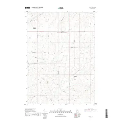
2018 Map of Stitzer
USGS Topo · Published 2018About this map
Stitzer and Preston anchor this section of Grant County, where the driftless area topography creates a complex network of ridges and narrow valleys. The landscape is defined by its drainages, including the headwaters of the Platte River and its various tributaries like Leggett Creek and Newell Creek. This 2018 survey reveals a rural infrastructure still heavily influenced by historical routes, most notably the Military Road which cuts a straight path across the northern half of the map. Local history is preserved in landmarks such as the Ebenezer Cemetery and sites of former transit hubs like Lancaster Junction. The map shows a transition from the agricultural uplands near Annaton to the more dissected terrain around Shaw Hollow and the Fennimore Fork in the north.
Find a feature on this map
53 named features on this map. Tap any name to fly to it.
Don’t see what you’re looking for? This feature index may not catch every label — zoom into the map to look around manually.
Map Details
Editions of this 2018 Stitzer Map
This is the sole edition of this map. No revisions or reprints were ever made.
Other maps of this area

1900 · Lancaster
USGS Topo · 1:125,000

1902 · Mineral Point
USGS Topo · 1:125,000

1904 · Lancaster
USGS Topo · 1:125,000

1905 · Richland Center
USGS Topo · 1:125,000

1908 · Lancaster
USGS Topo · 1:125,000

1933 · Boscobel
USGS Topo · 1:62,500

1952 · Rewey
USGS Topo · 1:24,000

1952 · Montfort
USGS Topo · 1:24,000

1958 · La Crosse
USGS Topo · 1:250,000

1959 · Dubuque
USGS Topo · 1:250,000