Old Maps of Anderson, Wisconsin for Metal Detecting
Plan your next treasure hunt with 53 historic maps of Anderson. Find old homesites, ghost towns, trails, and gathering spots that may be lost to time — perfect for identifying promising metal detecting locations.
- Locate forgotten sites: Uncover places like long-lost settlements, abandoned rail lines, or gathering spots.
- Plan better hunts: Use map overlays combined with LiDAR or satellite views to narrow in on historically rich areas.
- Made for detectorists: Thousands of hobbyists use these maps to discover relics, coins, and hidden history.
Use these historic maps to boost your research and find new opportunities beneath the surface of Anderson.
Anderson, WI maps
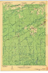
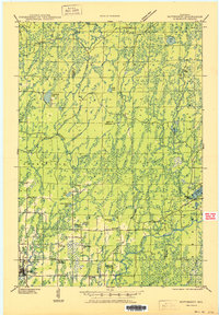
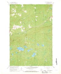
(53)- 1940 Map of Butternut, 1961 Print
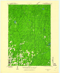 1940 Butternut1961 Print · USGSAshland and Iron Counties come alive in this wartime-era survey of the Northwoods timber and rail country. Genealogists and historians can trace rural schoolhouses like Otto Sch, the local government at Agenda Town Hall, and the old rail paths of the Soo Line.
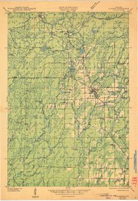
 - 1940 Map of Upson, 1961 Print
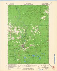
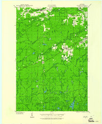 1940 Upson1961 Print · USGSIron County’s timber and rail history is captured here at the start of the 1940s, when the northwoods were dotted with logging camps and active sidings. Genealogists and historians can trace family ties at Hillside Cem or locate the distinct footprints of Iron Belt and the remote LeClair Camp.2 unique versions available
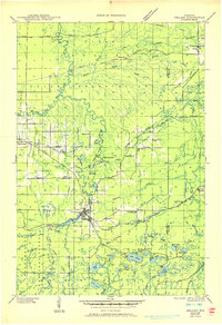
 - 1942 Map of Glidden, 1956 Print
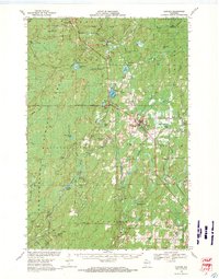
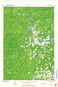 1942 Glidden1956 Print · USGSAshland and Iron counties come alive in the early 1940s, showing a landscape shaped by the Minneapolis St Paul and Sault Ste Marie RR and the Chequamegon National Forest. Genealogists can locate family landmarks like the Morse Cem or several rural schools, including the Peeksville Sch and Washington Sch.
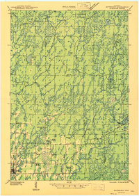
 - 1942 Map of Mellen, 1959 Print
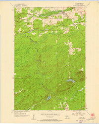
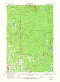
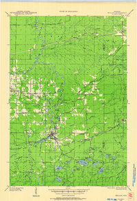 1942 Mellen1959 Print · USGSAshland County and the Iron County border come alive in the early 1940s as a landscape of timber, iron rails, and deep Northwoods lakes. Researchers can trace the path of the Minneapolis St Paul and Sault Ste Marie railroad or locate family sites like Sedgwick and the St Johns Cem.
 - 1943 Map of Upson
 1943 Upson1943 Print · USGSIron County during the early 1940s reveals a landscape shaped by mining, timber, and the railroads that served them. Genealogists and local historians can trace family-named outposts like McIver Camp and LeClair Camp or locate burials at Hillside Cem.2 unique versions available
 - 1945 Map of Glidden
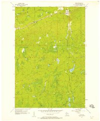
 1945 Glidden1945 Print · USGSThe Northwoods of Ashland County during the mid-forties show a landscape defined by timber history and early highway travel. Researchers can trace the Soo Line rail corridor through Glidden or locate rural landmarks like Shanagolden and the Morse Cem.
 - 1945 Map of Mellen, 1950 Print
 1945 Mellen1950 Print · USGSAshland and Iron Counties come alive in the mid-1940s, showing a rugged landscape of iron-range railways and remote forest schools. Genealogists can trace family landmarks like Coria Sch, St Johns Sch, and the rail junction at Mellen.
 - 1947 Map of Butternut
 1947 Butternut1947 Print · USGSThe village of Butternut and the surrounding timberlands are captured here in the late 1940s. Genealogists and local historians can trace rural schoolhouse locations like Tank Sch and Smart Sch alongside early industry at Teeter Camp.
 - 1950 Map of Butternut
 1950 Butternut1950 Print · USGSWisconsin's Northwoods were still defined by logging camps and rural school districts in the mid-twentieth century. Genealogists and local historians can trace the foundations of Butternut and the surrounding townships, locating sites like Agenda Town Hall, Old Camp, and Tank Sch.
 - 1953 Map of Ashland, 1964 Print
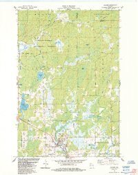
 1953 Ashland1964 Print · USGSNorthern Wisconsin's lakefront and timberlands are seen here in the mid-1950s, showing the intersection of industrial rail lines and vast wilderness. Genealogists and historians can trace the Soo Line through rail towns like Mellen or locate family roots in the Apostle Islands and Bad River Indian Reservation.3 unique versions available
 - 1956 Map of Saxon, 1957 Print
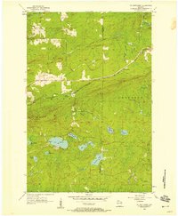
 1956 Saxon1957 Print · USGSIron County's northern rail corridors and forest lands are captured here in the mid-fifties as the timber and transit industries shaped the landscape. Genealogists and researchers can trace family plots at Greenwood Cem or locate historic landmarks like the County Fairground and Upson Lookout Tower.2 unique versions available
 - 1956 Map of Upson, 1957 Print
 1956 Upson1957 Print · USGSIron County's Northwoods are captured here in the mid-1950s, showing a landscape defined by timber history and rail. Researchers can trace the Soo Line through Upson and Rouse, or locate remote sites like McIver Camp.2 unique versions available
 - 1956 Map of Mt. Whittlesey, 1958 Print
 1956 Mt. Whittlesey1958 Print · USGSThe Wisconsin Northwoods of the mid-1950s reveal a landscape of iron mining history and glacial lakes between Ashland and Iron counties. Genealogists and researchers can trace the old rail lines of the Soo Line, the settlement at Ballou, and the Berkshire Mine Ruins.
 - 1958 Map of Ashland
 1958 Ashland1958 Print · USGSCoastal Wisconsin and the Michigan borderlands meet here in the late fifties, dominated by the timbered expanses and iron-rich ranges. Genealogists can trace family footprints in settlements like Odanah and Montreal, or locate landmarks such as the Coast Guard Station and Agricultural Experiment Station.
 - 1967 Map of Mt. Whittlesey, 1969 Print
 1967 Mt. Whittlesey1969 Print · USGSNorthern Wisconsin's forest and lake country is captured here during the late sixties, showing the transition from industrial extraction to managed wilderness. Researchers can locate the Berkshire Mine (Ruins) near Mt. Whittlesey or trace the Soo Line rail route as it follows Tyler Forks.
 - 1967 Map of Mellen, 1969 Print
 1967 Mellen1969 Print · USGSThe Mellen area in the late sixties reveals a landscape of deep-woods industry and northern rail towns. Genealogists and historians can trace the Soo Line through High Bridge or locate the Berkshire Mine Ruins and St Johns Cem.
 - 1968 Map of Glidden, 1971 Print
 1968 Glidden1971 Print · USGSAshland and Iron County woods come to life in the late 1960s as the SOO LINE connects timber towns across a glacial landscape. Researchers can trace family roots at St Cecilia Cem or Morse Cem and locate vanished siding spots like Shanagolden and Popcorn Corners.
 - 1968 Map of Butternut, 1971 Print
 1968 Butternut1971 Print · USGSWisconsin's Northwoods come into focus in the late 1960s as a landscape defined by timber, rail, and water. Researchers can trace the Soo Line through Butternut, find the Union Cem, and locate river landmarks like Stubbs Rapids and Petes Landing.
 - 1980 Map of Ironwood
 1980 Ironwood1980 Print · USGSThe Michigan-Wisconsin borderlands appear in the late twentieth century as a landscape defined by iron mining and deep forests. Researchers can trace the rail-and-river economy through the Soo Line and Chicago and North Western tracks connecting Mellen, Glidden, and Hurley.
 - 1984 Map of Gurney
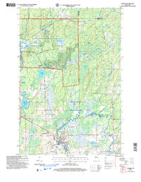
 1984 Gurney1984 Print · USGSNorthern Wisconsin's timber and rail landscape is captured here in the 1980s as the Soo Line Railroad winds through the Bad River Indian Reservation. Researchers can trace family history through Edgewood Cem or locate old homesteads near Sedgwick and the Potato River Falls.
 - 1984 Map of Augustine Lake
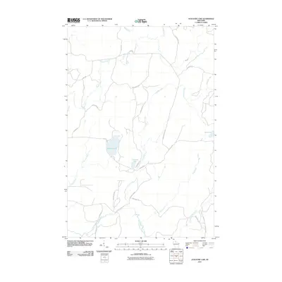
 1984 Augustine Lake1984 Print · USGSNorthern Wisconsin lake country is documented here in the mid-eighties, centered on the Iron and Ashland county line. Trace the headwaters of the Chippewa River and find landmarks like Augustine Lake and the Fourth Principal Meridian.
 - 1984 Map of Glidden
 1984 Glidden1984 Print · USGSNorthern Wisconsin timber and river country are captured here in the mid-1980s. Local researchers can trace the roads around Glidden, locate the Mt Hope Cem, and explore the hydrology of Zielke Lake and the Bad River.
 - 2005 Map of Glidden, 2006 Print
 2005 Glidden2006 Print · USGSAshland County’s timber and river lands are shown in detail during the early 2000s, centered on the community of Glidden. Local researchers can locate the Mt Hope Cem, trace the course of the East Fork Chippewa River, and explore forest routes like Hannes Road.
 - 2010 Map of Gurney, 2010 Print
 2010 Gurney2010 Print · USGSCovers Anderson, including Gurney, Morse, and other nearby areas
 - 2010 Map of Augustine Lake, 2010 Print
 2010 Augustine Lake2010 Print · USGSCovers Anderson, including Peeksville, Agenda, and other nearby areas
Showing maps 1-25 of 53
Top cities near Anderson
- Mercer historical maps
- Mellen historical maps
- Montreal historical maps
- Morse historical maps
- Kimball historical maps
- Saxon historical maps
See more
Top neighborhoods of Anderson
Frequently asked questions
- What are the different types of historical maps available for Anderson?
- What is the oldest map of Anderson?
- Where can I purchase historical maps of Anderson for my home or office?
- Where can I download high-res historical maps of Anderson?
- Are there historical topographic maps available for Anderson?
- Is there historical aerial imagery available for Anderson?
- Where are historical maps of Anderson sourced from?