2000s (21st Century) Maps of Jackson County, Wisconsin
Explore 155 historic maps of Jackson County from the 2000s (21st Century). These maps offer a rare glimpse into what life looked like during the 2000s — showing old roads, neighborhoods, homes, and landmarks that have changed or disappeared over time.
Whether you're researching your family's past, planning a metal detecting trip, or studying how Jackson County's landscape evolved across the 2000s, these high-resolution maps are a powerful tool for exploring the history of this region.
- Focus on a specific era: All maps on this page are from the 2000s, giving you a focused view of this time period.
- See what’s changed: Compare century-old streets, trails, and buildings to today's modern landscape using overlays and satellite layers.
- Research with precision: Use these maps for genealogy, historical research, land use analysis, or educational projects.
- View, download, or print: Maps are fully viewable online in high resolution, and can be downloaded or printed for your own records.
Start exploring Jackson County's history through authentic maps from the 2000s. This is your window into the past.
Jackson County, WI maps
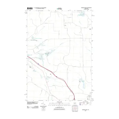
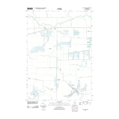
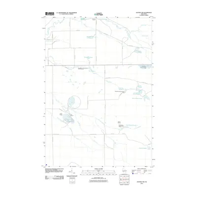
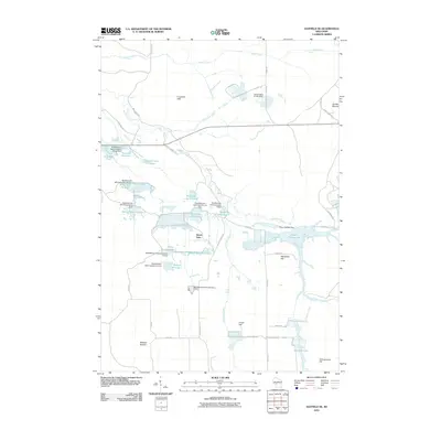
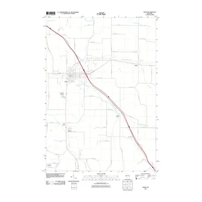
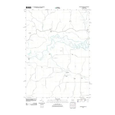
(155)- 2010 Map of Shamrock, 2010 Print
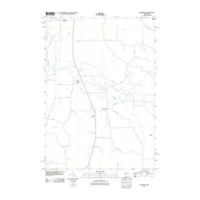 2010 Shamrock2010 Print · USGSCovers Jackson County, including Brockway, Irving, and other nearby areas
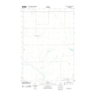
 - 2010 Map of City Point NE, 2010 Print
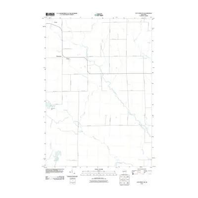 2010 City Point NE2010 Print · USGSCovers Jackson County, including Sherwood, City Point, and other nearby areas
 - 2010 Map of Millston, 2010 Print
 2010 Millston2010 Print · USGSCovers Jackson County, including Brockway, Millston, and other nearby areas
 - 2010 Map of Mather, 2010 Print
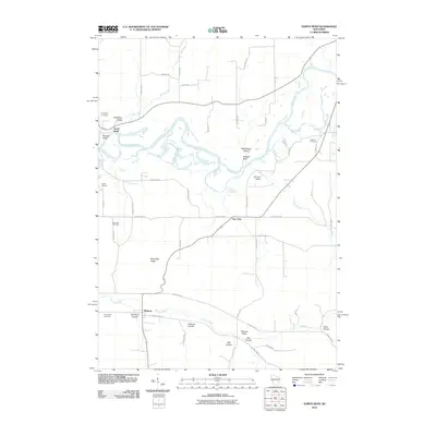
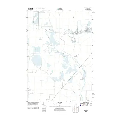 2010 Mather2010 Print · USGSCovers Jackson County, including Bear Bluff, Mather, and other nearby areas
 - 2010 Map of Warrens West, 2010 Print
 2010 Warrens West2010 Print · USGSCovers Jackson County, including Warrens, Millston, and other nearby areas
 - 2010 Map of Spaulding, 2010 Print
 2010 Spaulding2010 Print · USGSCovers Jackson County, including City Point, Bear Bluff, and other nearby areas
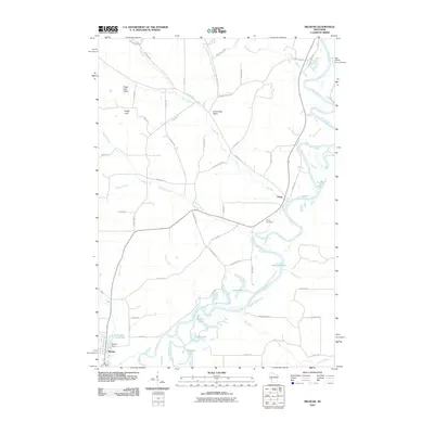
 - 2010 Map of Merrillan, 2010 Print
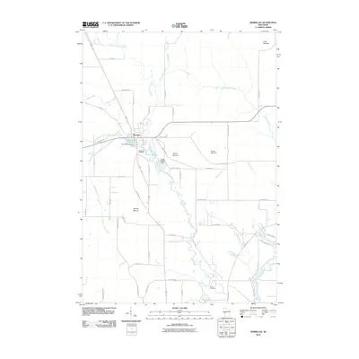 2010 Merrillan2010 Print · USGSCovers Jackson County, including Merrillan, Dewhurst, and other nearby areas
 - 2010 Map of Hatfield NE, 2010 Print
 2010 Hatfield NE2010 Print · USGSCovers Jackson County, including City Point, Levis, and other nearby areas
 - 2010 Map of City Point, 2010 Print
 2010 City Point2010 Print · USGSCovers Jackson County, including City Point, Bear Bluff, and other nearby areas
 - 2010 Map of Hatfield, 2010 Print
 2010 Hatfield2010 Print · USGSCovers Jackson County, including Hatfield, Levis, and other nearby areas
 - 2010 Map of Wildcat Mound, 2010 Print
 2010 Wildcat Mound2010 Print · USGSCovers Jackson County, including Mentor, Dewhurst, and other nearby areas
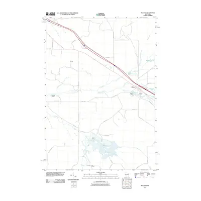
 - 2010 Map of Melrose, 2010 Print
 2010 Melrose2010 Print · USGSCovers Jackson County, including Irving, Melrose, and other nearby areas
 - 2010 Map of Hatfield SW, 2010 Print
 2010 Hatfield SW2010 Print · USGSCovers Jackson County, including Brockway, Millston, and other nearby areas
 - 2010 Map of Stenulson Coulee, 2010 Print
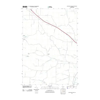 2010 Stenulson Coulee2010 Print · USGSCovers Jackson County, including Alma, Hixton, and other nearby areas
 - 2010 Map of Fairchild, 2010 Print
 2010 Fairchild2010 Print · USGSCovers Jackson County, including Fairchild, Mentor, and other nearby areas
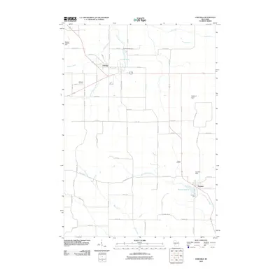
 - 2010 Map of Alma Center, 2010 Print
 2010 Alma Center2010 Print · USGSCovers Jackson County, including Alma Center, Hixton, and other nearby areas
 - 2010 Map of Hatfield SE, 2010 Print
 2010 Hatfield SE2010 Print · USGSCovers Jackson County, including City Point, Millston, and other nearby areas
 - 2010 Map of City Point NW, 2010 Print
 2010 City Point NW2010 Print · USGSCovers Jackson County, including Sherwood, City Point, and other nearby areas
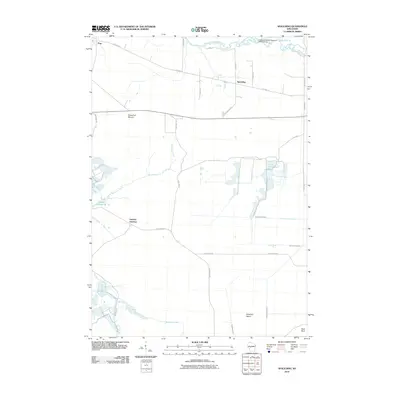
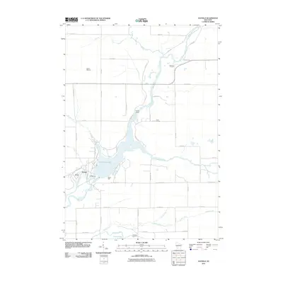
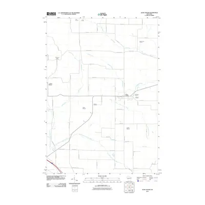
 - 2010 Map of Osseo, 2010 Print
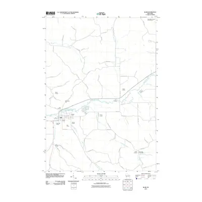
 2010 Osseo2010 Print · USGSCovers Jackson County, including Osseo, Hale, and other nearby areas
 - 2010 Map of Blair, 2010 Print
 2010 Blair2010 Print · USGSCovers Jackson County, including Blair, Taylor, and other nearby areas
 - 2010 Map of Stevenstown, 2010 Print
 2010 Stevenstown2010 Print · USGSCovers Jackson County, including North Bend, Holland, and other nearby areas
 - 2010 Map of North Bend, 2010 Print
 2010 North Bend2010 Print · USGSCovers Jackson County, including Melrose, North Bend, and other nearby areas
 - 2010 Map of Hegg, 2010 Print
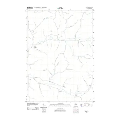 2010 Hegg2010 Print · USGSCovers Jackson County, including North Bend, Preston, and other nearby areas
 - 2010 Map of North Bend NE, 2010 Print
 2010 North Bend NE2010 Print · USGSCovers Jackson County, including Irving, Melrose, and other nearby areas
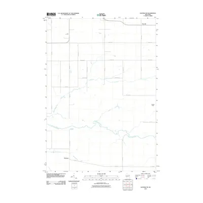
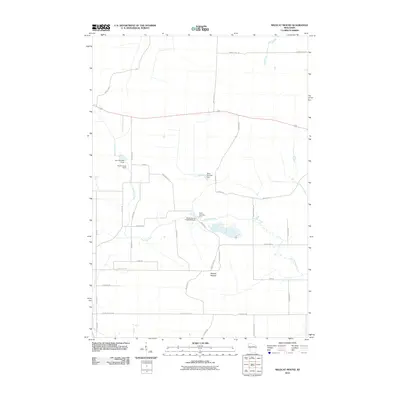
 - 2010 Map of Price, 2010 Print
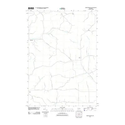
 2010 Price2010 Print · USGSCovers Jackson County, including Northfield, Hay Creek, and other nearby areas
Showing maps 1-25 of 155
Top cities of Jackson County
- Black River Falls historical maps
- Brockway historical maps
- Irving historical maps
- Northfield historical maps
- Merrillan historical maps
- Melrose historical maps
See more
Frequently asked questions
- What are the different types of historical maps available for Jackson County?
- What is the oldest map of Jackson County?
- Where can I purchase historical maps of Jackson County for my home or office?
- Where can I download high-res historical maps of Jackson County?
- Are there historical topographic maps available for Jackson County?
- Is there historical aerial imagery available for Jackson County?
- Where are historical maps of Jackson County sourced from?