2010s Maps of Jackson County, Wisconsin
Explore 124 historic maps of Jackson County from the 2010s. These maps offer a rare glimpse into what life looked like during the 2010s — showing old roads, neighborhoods, homes, and landmarks that have changed or disappeared over time.
Whether you're researching your family's past, planning a metal detecting trip, or studying how Jackson County's landscape evolved across the 2010s, these high-resolution maps are a powerful tool for exploring the history of this region.
- Focus on a specific era: All maps on this page are from the 2010s, giving you a focused view of this time period.
- See what’s changed: Compare century-old streets, trails, and buildings to today's modern landscape using overlays and satellite layers.
- Research with precision: Use these maps for genealogy, historical research, land use analysis, or educational projects.
- View, download, or print: Maps are fully viewable online in high resolution, and can be downloaded or printed for your own records.
Start exploring Jackson County's history through authentic maps from the 2010s. This is your window into the past.
Jackson County, WI maps
(124)- 2010 Map of Shamrock, 2010 Print
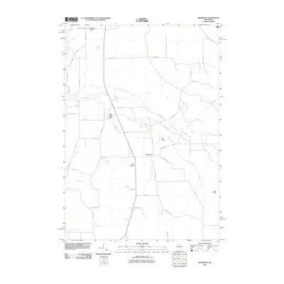 2010 Shamrock2010 Print · USGSWisconsin's rural Jackson County is captured here at the start of the 2010s, centered on the historic crossroads of Shamrock. Local researchers can locate Saint Columkille Cemetery and trace the winding waters of Robinson Creek past the landmark Fall Hall Glen.
 - 2010 Map of City Point NE, 2010 Print
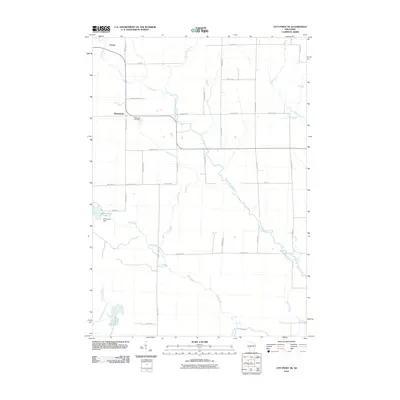 2010 City Point NE2010 Print · USGSSherwood and Nevins are documented here in the early twenty-first century, showcasing a rural Wisconsin landscape tied to the East Fork Black River. Researchers can trace local history at the Sherwood Cemetery or locate landmarks like Sherwood Dam and Sherwood Lake 15.
 - 2010 Map of Millston, 2010 Print
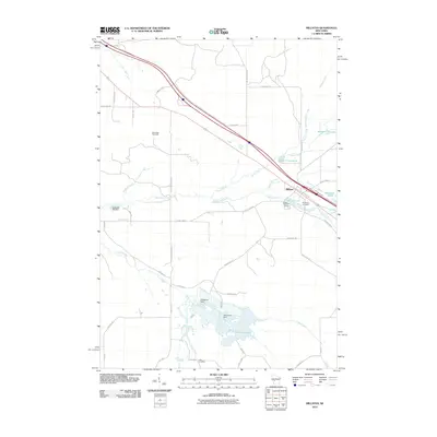 2010 Millston2010 Print · USGSJackson County at the start of the decade reveals a landscape shaped by water and woods near Millston. Genealogists and historians can trace local landmarks like Brookside Cemetery and the Oak Ridge Fire Tower or locate the settlement at Lees Crossing.
 - 2010 Map of Mather, 2010 Print
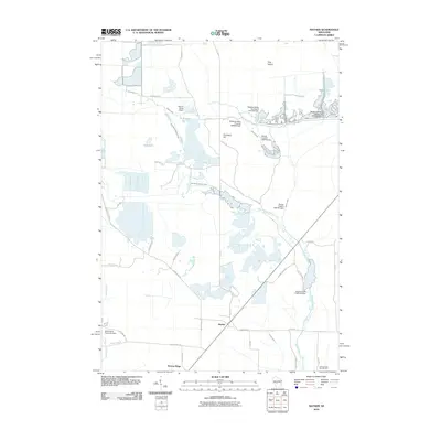 2010 Mather2010 Print · USGSMather and Norway Ridge were hubs of activity in central Wisconsin during the early twenty-first century, surrounded by a complex system of dams and flowages. Researchers can trace the water-management history of the region through labels like the Meadow Valley Flowage 2WP395 Dam and 16 Reservoir.
 - 2010 Map of Warrens West, 2010 Print
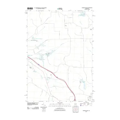 2010 Warrens West2010 Print · USGSThe cranberry-growing region around Monroe County is captured here in the early twenty-first century, showing a landscape defined by water flowages and rural cemeteries. Researchers can trace family history at Warren Mills Cemetery or locate distinct landmarks like Knapp Mound and Castle Rock.
 - 2010 Map of Spaulding, 2010 Print
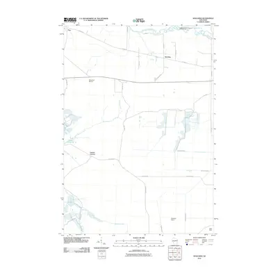 2010 Spaulding2010 Print · USGSThe marshlands of Jackson County come alive in this early 21st-century survey of the Spaulding area. Genealogists and local historians can trace family road names and hydrological landmarks like Potter Flowage 58, Sugarloaf Mound, and Drescher Island.
 - 2010 Map of Merrillan, 2010 Print
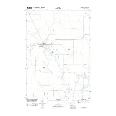 2010 Merrillan2010 Print · USGSThe village of Merrillan is captured here in the early twenty-first century, centered on its historic mill dams and surrounding glacial terrain. Genealogists and local historians can locate Oakwood Cemetery and trace the paths around Bruce Mound and Oakwood Lake 45.
 - 2010 Map of Hatfield NE, 2010 Print
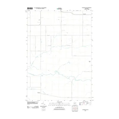 2010 Hatfield NE2010 Print · USGSShortville and the river valleys of Jackson County are captured here during a period of modern rural stability. Genealogists and local historians can trace family land near Levis Cemetery or follow the paths of Rock Creek and the East Fork Black River.
 - 2010 Map of City Point, 2010 Print
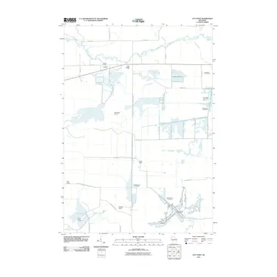 2010 City Point2010 Print · USGSCity Point and the surrounding Jackson County wetlands are captured here in the early twenty-first century, showing a landscape shaped by water and wood. Researchers can trace local lineage at Martyrs Cemetery or explore the network of dams and canals including Remington Ditch and Van Tassle Island.
 - 2010 Map of Hatfield, 2010 Print
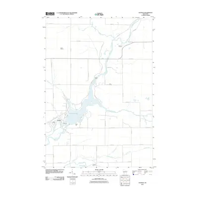 2010 Hatfield2010 Print · USGSThe Black River corridor is captured here at the turn of the millennium, centered on the waters of Lake Arbutus 1290. Researchers can trace local heritage through several burial sites including Dells Dam Cemetery, Indian Cemetery, and the Hatfield Dam infrastructure.
 - 2010 Map of Wildcat Mound, 2010 Print
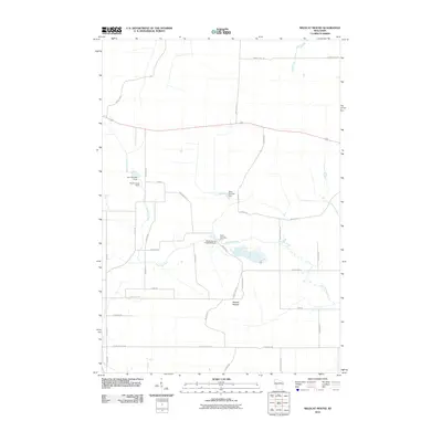 2010 Wildcat Mound2010 Print · USGSClark County at the start of the 2010s reveals a rural landscape shaped by water management and localized terrain. Researchers can locate specific water control sites like Dam Number Five and family-named roads near the prominent Wildcat Mound.
 - 2010 Map of Melrose, 2010 Print
 2010 Melrose2010 Print · USGSThe Black River valley near Melrose and Irving comes into sharp focus during the early twenty-first century. Genealogists and local historians can trace family locations near the Irving Cemetery, the Melrose Dam, and distinctive landmarks like Sugar Loaf.
 - 2010 Map of Hatfield SW, 2010 Print
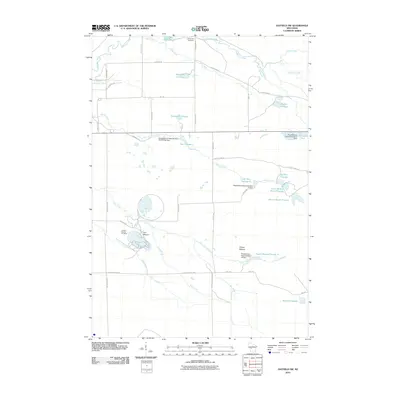 2010 Hatfield SW2010 Print · USGSBrockway and Jackson County appear here in the early twenty-first century as a landscape shaped by iron mining and federal water projects. Genealogists and historians can locate the Komensky Cemetery and trace industrial footprints at the Jackson County Iron Mine and Squaw Mound.
 - 2010 Map of Stenulson Coulee, 2010 Print
 2010 Stenulson Coulee2010 Print · USGSJackson County rural life is captured here in the early 2000s as a landscape of winding coulees and managed waterways. Family researchers can locate Stenulson Coulee, the County Farm Cemetery, and Pine Creek Cemetery among the many family-named roads and drainage basins.
 - 2010 Map of Fairchild, 2010 Print
 2010 Fairchild2010 Print · USGSFairchild and Humbird anchor this Wisconsin rural landscape as it appeared in the early twenty-first century. Genealogists and local researchers can trace family landmarks like Cleveland Cemetery, Humbird Bluff, and the Twin Mound Lookout Tower.
 - 2010 Map of Alma Center, 2010 Print
 2010 Alma Center2010 Print · USGSAlma Center and its surrounding Jackson County townships are captured here at the start of the 2010s. Local researchers can locate numerous family burial grounds including Houghtonburg Cemetery and Stanford Cemetery, or trace the path of the South Branch Trempealeau River.
 - 2010 Map of Hatfield SE, 2010 Print
 2010 Hatfield SE2010 Print · USGSManaged wetlands and isolated mounds dominate this Jackson County landscape at the start of the 21st century. Researchers can trace decades of water management through the many dams and reservoirs like Schwartz Pool, Seventeen Reservoir, and Potter Flowage 58.
 - 2010 Map of City Point NW, 2010 Print
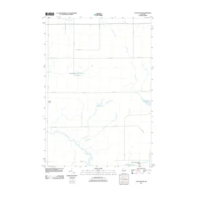 2010 City Point NW2010 Print · USGSThe Clark County backcountry at the start of the 2010s shows a landscape of managed watersheds and forest roads. Researchers can trace the drainage of the East Fork Black River and locate distinctive landmarks like Qualley E1854 Dam and Sherwood Lake 15.
 - 2010 Map of Osseo, 2010 Print
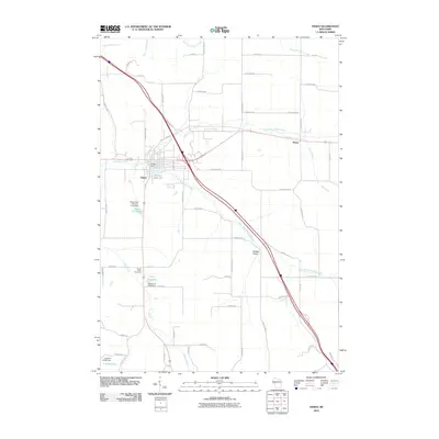 2010 Osseo2010 Print · USGSOsseo and its surrounding river valleys are captured here in the early twenty-first century as the North and South Forks of the Buffalo River converge. Genealogists and researchers can locate South Valley Cemetery, the settlement of Requa, and landmarks like Martha Lake 34.
 - 2010 Map of Blair, 2010 Print
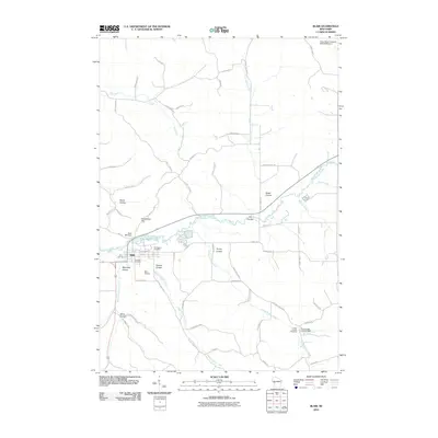 2010 Blair2010 Print · USGSWisconsin's coulee country comes into sharp focus during this decade, centered on the riverfront community of Blair. Researchers can trace the layout of the town and locate rural landmarks like Rest Haven Cemetery, the Blair Mill Dam, and Trump Coulee.
 - 2010 Map of Stevenstown, 2010 Print
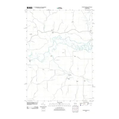 2010 Stevenstown2010 Print · USGSIn the coulee country of western Wisconsin, this early twenty-first-century survey highlights the settlement of Stevenstown and the winding course of the Black River. Local historians can trace family-named landmarks and burial sites like Glasgow Cemetery and Sacia Cemetery.
 - 2010 Map of North Bend, 2010 Print
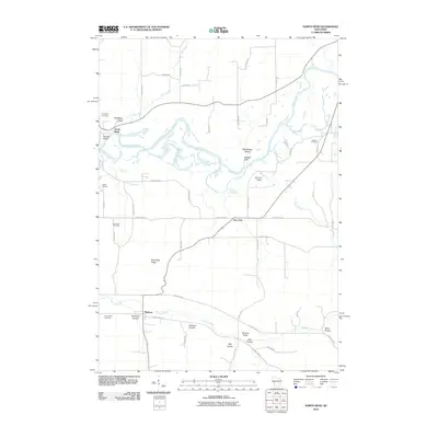 2010 North Bend2010 Print · USGSWisconsin's coulee country is captured here in the early twenty-first century, showing the rural communities of North Bend, Mindoro, and Burr Oak. Genealogists can trace family landmarks and burial sites like Evergreen Cemetery, Severson Coulee, and Black Oak Ridge.
 - 2010 Map of Hegg, 2010 Print
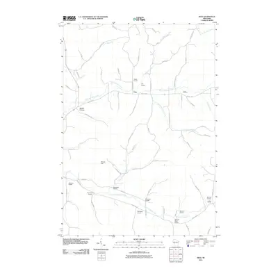 2010 Hegg2010 Print · USGSWisconsin's coulee country is captured here during the early twenty-first century, showing a rural landscape defined by deep valleys and stream forks. Researchers can trace family history through sites like Pioneer Cemetery, Beachs Corners, and the many family-named valleys such as Svenson Coulee and Van Riper Coulee.
 - 2010 Map of North Bend NE, 2010 Print
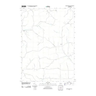 2010 North Bend NE2010 Print · USGSJackson County's rural township landscape is documented here in the early twenty-first century, showing the intricate creek networks and farm roads. Local historians can trace family burial sites at Morken Cemetery and Olson Cemetery, or locate the Buckholz Corners intersection.
 - 2010 Map of Price, 2010 Print
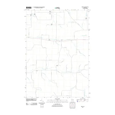 2010 Price2010 Print · USGSSettlements along the Buffalo River forks in central Wisconsin are captured here at the start of the 2010s. Researchers can trace family history through the Saint Johns Cemetery and North Branch Cemetery or locate landmarks like the Stephen Landing Strip and Levis.
Showing maps 1-25 of 124
Top cities of Jackson County
- Black River Falls historical maps
- Brockway historical maps
- Irving historical maps
- Northfield historical maps
- Merrillan historical maps
- Melrose historical maps
See more
Frequently asked questions
- What are the different types of historical maps available for Jackson County?
- What is the oldest map of Jackson County?
- Where can I purchase historical maps of Jackson County for my home or office?
- Where can I download high-res historical maps of Jackson County?
- Are there historical topographic maps available for Jackson County?
- Is there historical aerial imagery available for Jackson County?
- Where are historical maps of Jackson County sourced from?