2020s Maps of Jackson County, Wisconsin
Explore 31 historic maps of Jackson County from the 2020s. These maps offer a rare glimpse into what life looked like during the 2020s — showing old roads, neighborhoods, homes, and landmarks that have changed or disappeared over time.
Whether you're researching your family's past, planning a metal detecting trip, or studying how Jackson County's landscape evolved across the 2020s, these high-resolution maps are a powerful tool for exploring the history of this region.
- Focus on a specific era: All maps on this page are from the 2020s, giving you a focused view of this time period.
- See what’s changed: Compare century-old streets, trails, and buildings to today's modern landscape using overlays and satellite layers.
- Research with precision: Use these maps for genealogy, historical research, land use analysis, or educational projects.
- View, download, or print: Maps are fully viewable online in high resolution, and can be downloaded or printed for your own records.
Start exploring Jackson County's history through authentic maps from the 2020s. This is your window into the past.
Jackson County, WI maps
(31)- 2022 Map of Warrens East, 2022 Print
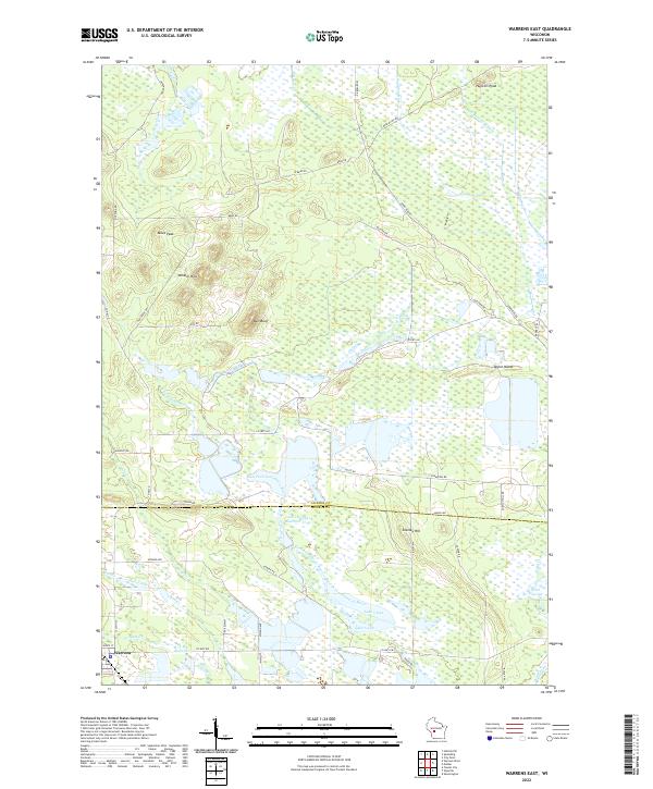 2022 Warrens East2022 Print · USGSNear the Jackson and Monroe county line, this modern survey captures a landscape defined by the cranberry-rich wetlands and the East Fork Lemonweir River. Family historians can locate family-named landmarks like Stanley Hill, Ball Bluff, and the settlement of Warrens.
 - 2022 Map of Wildcat Mound, 2022 Print
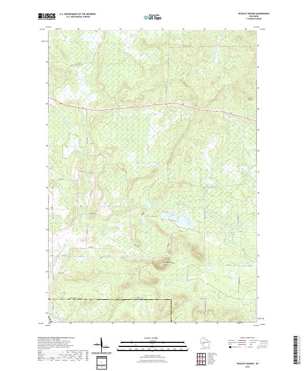 2022 Wildcat Mound2022 Print · USGSSouthern Clark County is shown in detail during the early 2020s, centered on the prominent rise of Wildcat Mound. Researchers can trace rural family roots along Hickman Rd, Abbott Ranch Rd, and the banks of Fivemile Cr.
 - 2022 Map of Warrens West, 2022 Print
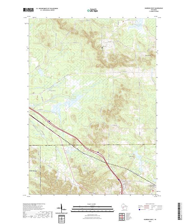 2022 Warrens West2022 Print · USGSJackson and Monroe Counties are shown here during the early 2020s, a landscape defined by cranberry marshes and glacial topography. Researchers can locate family landmarks like Knapp Cem or trace the drainage of the E Fork Lemonweir River and Robinson Pond.
 - 2022 Map of Mather, 2022 Print
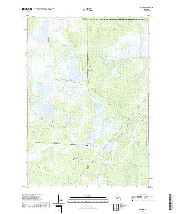 2022 Mather2022 Print · USGSThe rural marshlands at the junction of four Wisconsin counties come into focus in this contemporary survey. Genealogists and local historians can locate Oak Grove Cem and Pine Grove Cem or trace the vast Beaver Flowage and Norway Ridge.
 - 2022 Map of Alma Center, 2022 Print
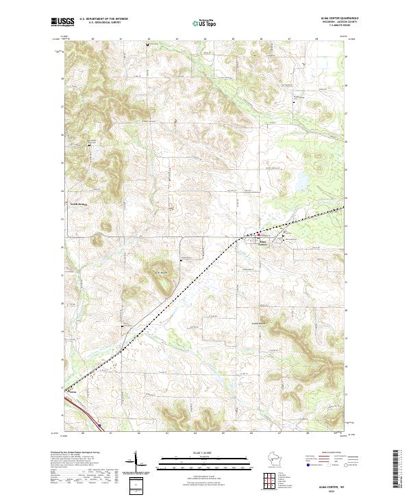 2022 Alma Center2022 Print · USGSAlma Center and its Jackson County environs are captured here in the early twenty-first century as the landscape retains its rural character. Researchers can locate numerous local burial grounds including Stanford Cem and Pole Grove Cem or trace the S Br Trempealeau River through the countryside.
 - 2022 Map of City Point NE, 2022 Print
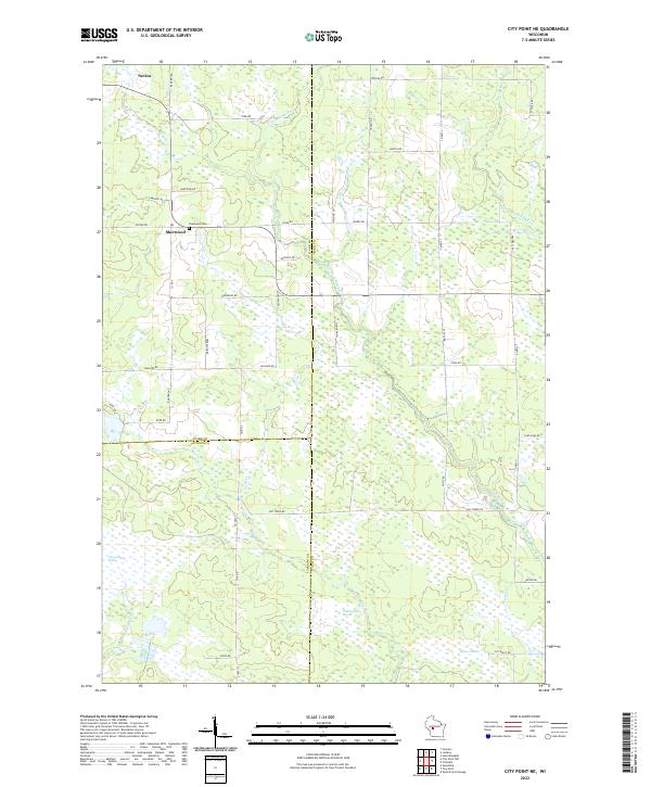 2022 City Point NE2022 Print · USGSWisconsin's marshlands at the junction of Wood, Clark, and Jackson counties are captured in this modern survey. Genealogists and local historians can trace family locations near the Sherwood Cem and the small settlements of Sherwood and Nevins.
 - 2022 Map of Hatfield NE, 2022 Print
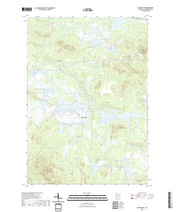
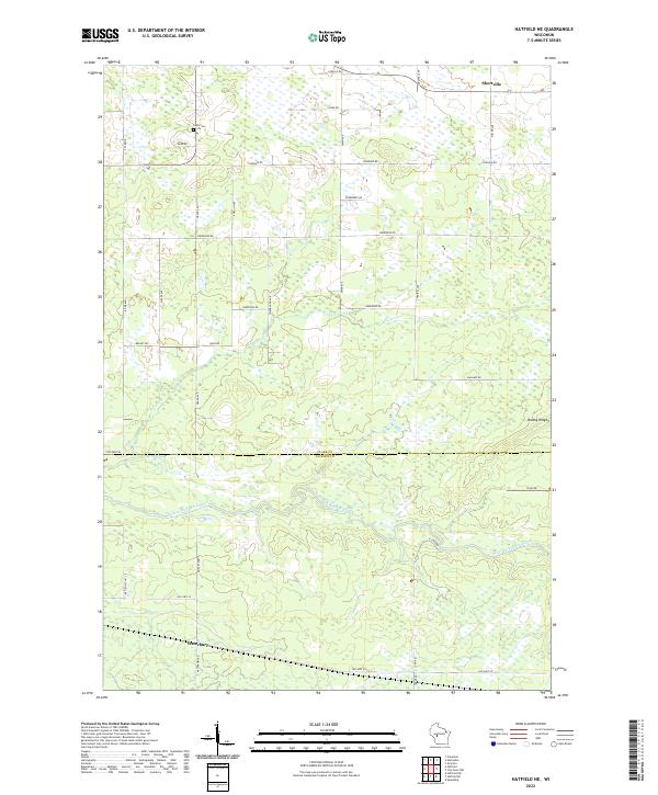 2022 Hatfield NE2022 Print · USGSThe Clark and Jackson County borderlands are documented here in the early twenty-first century, centered on the East Fork Black River. Genealogists and local historians can locate Shortville, the Levis Cem, and the crossing of Old Hwy 54 near Waterbury.
 - 2022 Map of City Point, 2022 Print
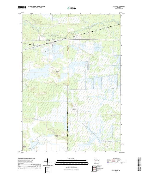 2022 City Point2022 Print · USGSThe marshlands of central Wisconsin are shown here in modern detail where the East Fork Black River flows past City Point. Researchers can trace old family burial sites at City Point Cemetery or locate distinctive landforms like Birch Bluff and Van Tassle Island.
 - 2022 Map of Hatfield, 2022 Print
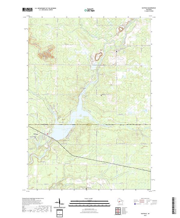 2022 Hatfield2022 Print · USGSThe confluence of the Black River and its East Fork at Hatfield defines this recent survey of the Wisconsin timberlands. Researchers can trace local lineage at the Winnebago Indian Cem and Dells Dam Cem, or explore the trail systems around Levis Mound.
 - 2022 Map of Melrose, 2022 Print
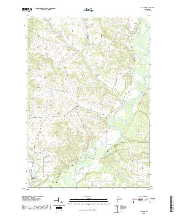 2022 Melrose2022 Print · USGSThe Black River valley in the early 2020s shows a landscape of deep river bends and secluded glacial lakes. Researchers can trace the layout of Melrose and locate landmarks like Sugar Loaf, Irving Cem, and the oxbows of Horse Shoe Lake.
 - 2022 Map of Four Corners, 2022 Print
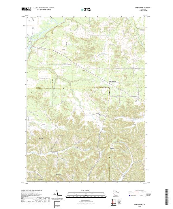 2022 Four Corners2022 Print · USGSThe tri-county borders of Monroe, Jackson, and La Crosse counties meet here among the ridges and coulees of the early 2020s. Local researchers can trace family lands near Four Corners and Sand Creek Cemetery or locate landmarks like Twin Peaks and Raffelson Coulee.
 - 2022 Map of Shamrock, 2022 Print
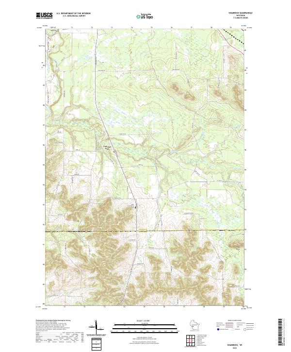 2022 Shamrock2022 Print · USGSThe Jackson and Monroe County borderlands come into focus in this recent survey, showcasing a landscape defined by creeks and bluffs. Genealogists and local historians can locate Saint Columbkille Cem and trace the paths through Fall Hall Glen and Irish Valley.
 - 2022 Map of Hatfield SE, 2022 Print
 2022 Hatfield SE2022 Print · USGSJackson County's marshlands and glacial mounds are documented in this recent survey of the Central Wisconsin landscape. Researchers can trace intricate water systems like Townline Reservoir and find local landmarks such as Wildcat Mound and Speck Oaks.
 - 2022 Map of Fairchild, 2022 Print
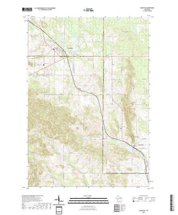 2022 Fairchild2022 Print · USGSModern-day Fairchild and Humbird appear at the intersection of three Wisconsin counties in this recent survey. Researchers can trace local landmarks like Cleveland Cem, Humbird Bluff, and the Buffalo River State Trail.
 - 2022 Map of City Point NW, 2022 Print
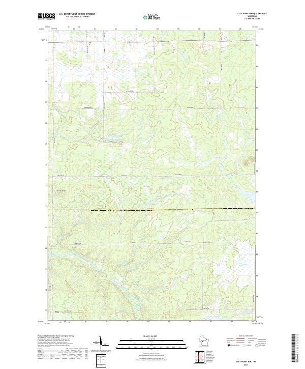 2022 City Point NW2022 Print · USGSCentral Wisconsin's wetland and river systems are shown in detail during the early 2020s. Researchers can trace the watercourse of the East Fork Black River and locate the crossroads settlement of Pray near Brushy Ridge.
 - 2022 Map of Merrillan, 2022 Print
 2022 Merrillan2022 Print · USGSMerrillan and the surrounding townships of Jackson and Clark counties are shown here as they appeared in the early 2020s. Genealogists can locate Oakwood Cem and family landmarks near Trow Mounds or the shores of Oakwood Lake.
 - 2022 Map of Spaulding, 2022 Print
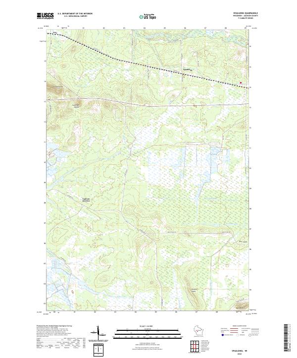 2022 Spaulding2022 Print · USGSWetlands and drainage ditches define this Jackson County landscape as it appeared in the early 2020s. Genealogists and local historians can trace the rural reaches of Pray, Spaulding, and Lapham Junction or locate family-named landmarks like Bear Bluff.
 - 2022 Map of Millston, 2022 Print
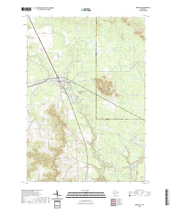
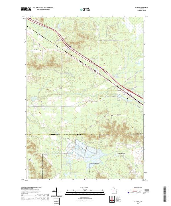 2022 Millston2022 Print · USGSMillston and the surrounding wetlands of Jackson County appear here in the early 2020s, showing a landscape defined by timber roads and flowages. Genealogists and researchers can locate Brookside Cem and trace the paths of Robinson Cr or Wyman Creek through the woods.
 - 2022 Map of Stevenstown, 2022 Print
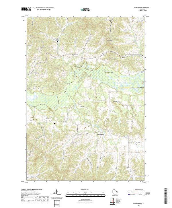 2022 Stevenstown2022 Print · USGSLa Crosse and Trempealeau Counties appear here in the early twenty-first century, showing a landscape shaped by the Black River and deep coulees. Genealogists can locate family sites like Hardies Creek Lutheran Church Cem and Glasgow Cem.
 - 2022 Map of North Bend, 2022 Print
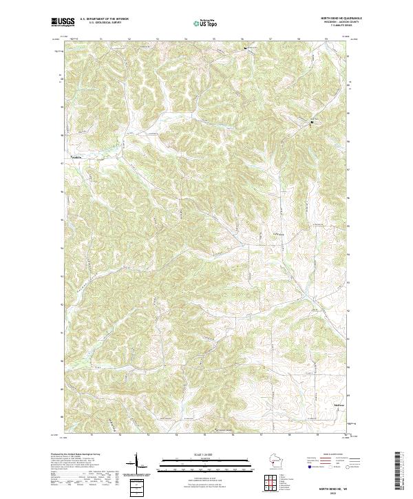
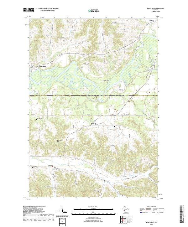 2022 North Bend2022 Print · USGSLa Crosse and Jackson Counties are captured here in the early 2020s, showing a landscape defined by coulees and the Black River corridor. Researchers can trace rural lineages through local landmarks like Mindoro, North Bend, and the Burr Oak Methodist Cem.
 - 2022 Map of Taylor, 2022 Print
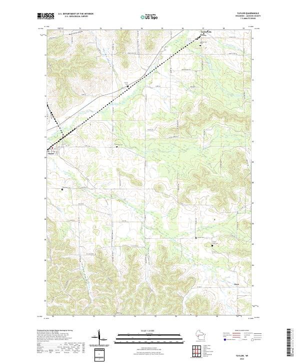 2022 Taylor2022 Print · USGSWestern Jackson County is shown here in the early twenty-first century, centered on the Trempealeau River and its many coulees. Family historians can trace local roots through several burial grounds including Sherwood Cem and Woodlawn Cem near Taylor.
 - 2022 Map of North Bend NE, 2022 Print
 2022 North Bend NE2022 Print · USGSJackson County rural life in the 2020s is shaped by the complex topography of the Driftless Area near Franklin. Genealogists and local historians can trace family ties through Morken Cem, Olson Cem, and distinctive geographic features like German Coulee or Cuffy Knob.
 - 2022 Map of Pigeon Falls, 2022 Print
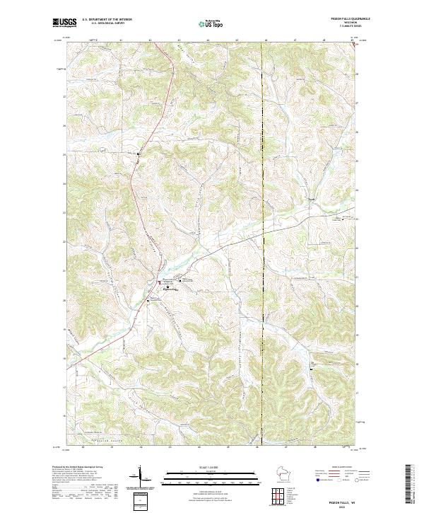 2022 Pigeon Falls2022 Print · USGSWestern Wisconsin's coulee country is captured here in recent years, showing the traditional farming landscapes around Pigeon Falls. Researchers can trace old family names and local history through landmarks like Pigeon Creek Lutheran Cem, York, and Kings Valley.
 - 2022 Map of Price, 2022 Print
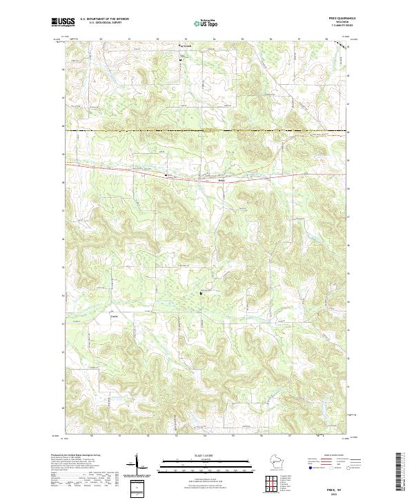 2022 Price2022 Print · USGSJackson County at the start of the 2020s shows a landscape of river forks and rural settlements. Researchers can trace family history at Saint Johns Cem, explore the winding Ellingson Coulee, and follow the Buffalo River State Trl.
 - 2022 Map of Blair, 2022 Print
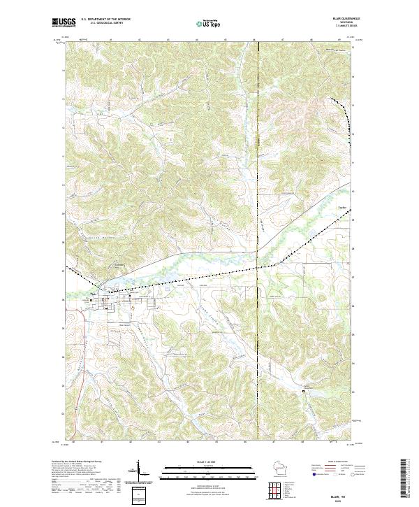 2022 Blair2022 Print · USGSThe Trempealeau River valley in the early 2020s remains defined by its deep coulees and established communities. Researchers can trace family sites at Zion Lutheran Cem and Rest Haven Cem, or explore the terrain around Gransberg Hill and Trump Coulee.
Showing maps 1-25 of 31
Top cities of Jackson County
- Black River Falls historical maps
- Brockway historical maps
- Irving historical maps
- Northfield historical maps
- Merrillan historical maps
- Melrose historical maps
See more
Frequently asked questions
- What are the different types of historical maps available for Jackson County?
- What is the oldest map of Jackson County?
- Where can I purchase historical maps of Jackson County for my home or office?
- Where can I download high-res historical maps of Jackson County?
- Are there historical topographic maps available for Jackson County?
- Is there historical aerial imagery available for Jackson County?
- Where are historical maps of Jackson County sourced from?