2022 Map of Mather
USGS Topo · Published 2022About this map
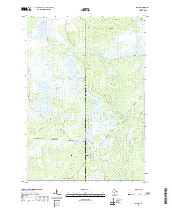
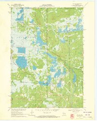
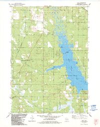
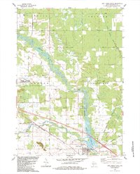
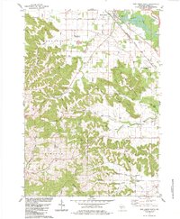
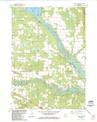
Mather and Norway Ridge anchor this central Wisconsin landscape, where the convergence of Juneau, Monroe, Jackson, and Wood counties creates a complex jurisdictional boundary. The terrain is defined by an extensive network of wetlands and water management, including the Beaver Flowage, Juleane Reservoir, and the smaller 16 Reservoir. These water bodies, alongside Big Lake and Deer Lake, illustrate the region's reliance on flowages and creek systems like the West Branch Beaver Creek. Local history is preserved at sites such as Oak Grove Cem near Cemetery Hill and Pine Grove Cem further south. The map details a rural infrastructure of named roads, such as Cranberry Rd and Bear Bluff Rd S, which navigate through features like Hog Island and the meandering Silver Cr.
Find a feature on this map
53 named features on this map. Tap any name to fly to it.
Don’t see what you’re looking for? This feature index may not catch every label — zoom into the map to look around manually.
Map Details
Editions of this 2022 Mather Map
This is the sole edition of this map. No revisions or reprints were ever made.
Historical Maps of Jackson County Through Time
22 maps found
1969 Arkdale NW
Juneau County, WI
1969 Cutler
Juneau County, WI
1969 Finley
Juneau County, WI
1969 New Miner
Juneau County, WI
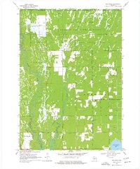
1970 Mather
Juneau County, WI
1970 Shennington
Juneau County, WI
1975 Potato Hill
Juneau County, WI
1983 Kelly
Juneau County, WI
1983 New Lisbon North
Juneau County, WI
1983 New Lisbon South
Juneau County, WI
1983 Round Bluff
Juneau County, WI
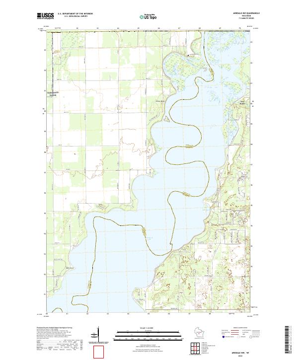
2022 Arkdale NW
Juneau County, WI
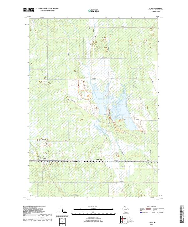
2022 Cutler
Juneau County, WI
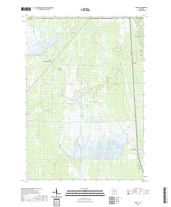
2022 Finley
Juneau County, WI
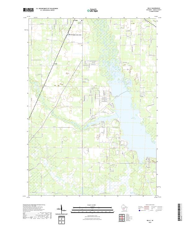
2022 Kelly
Juneau County, WI
2022 Mather
Juneau County, WI
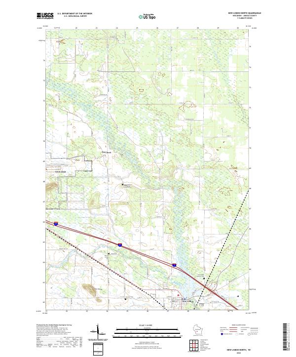
2022 New Lisbon North
Juneau County, WI
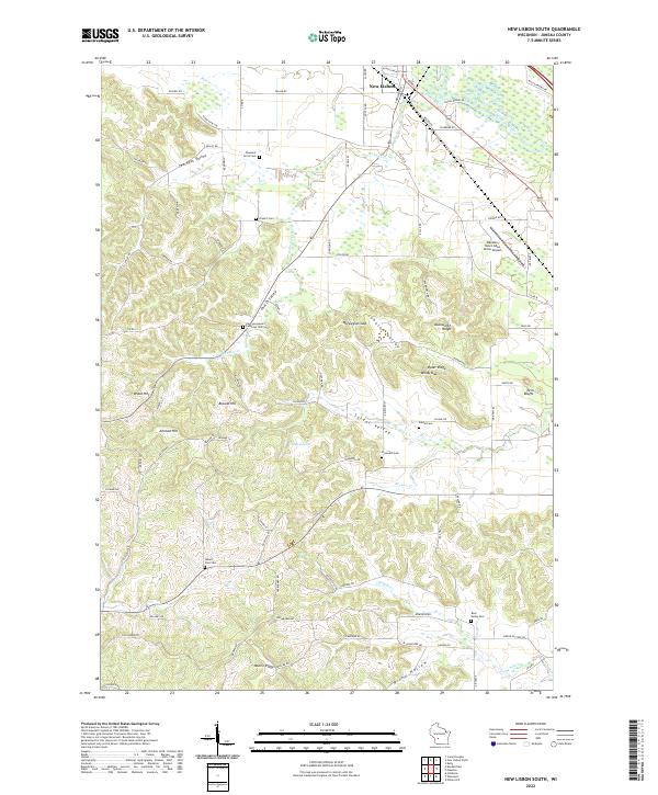
2022 New Lisbon South
Juneau County, WI
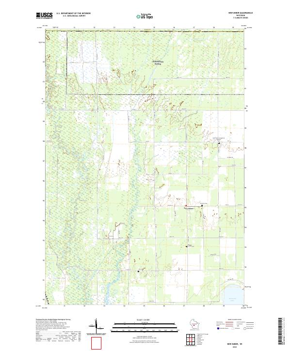
2022 New Miner
Juneau County, WI
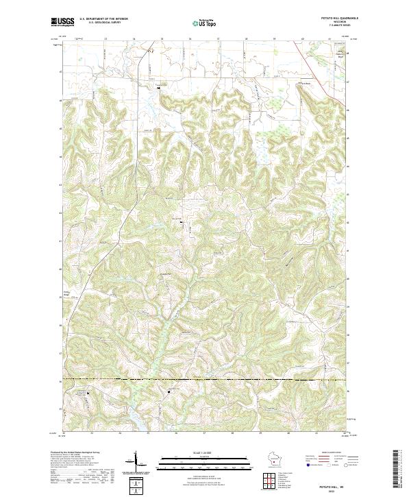
2022 Potato Hill
Juneau County, WI
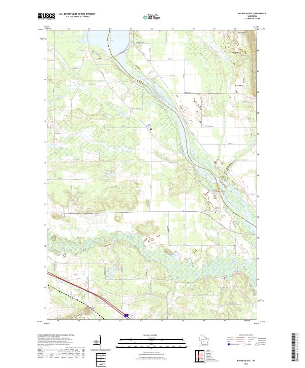
2022 Round Bluff
Juneau County, WI
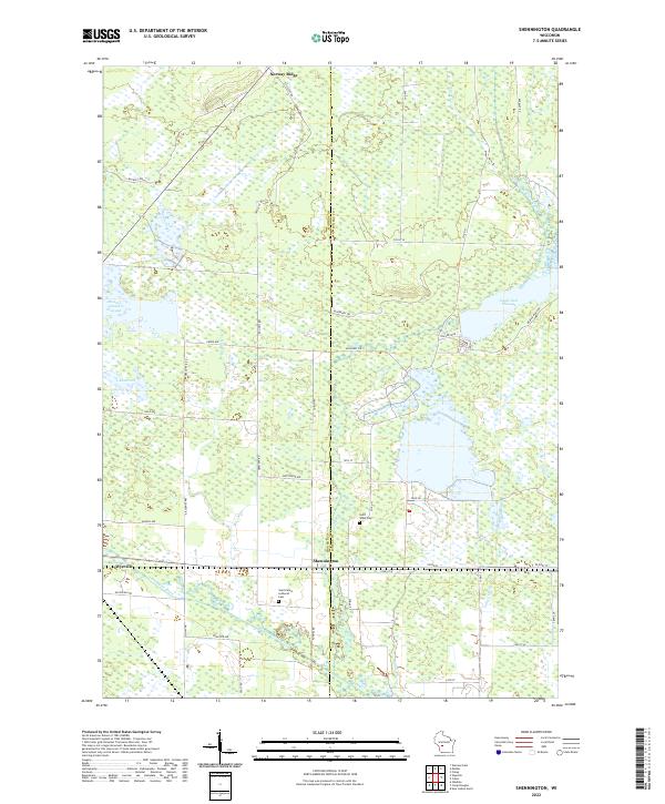
2022 Shennington
Juneau County, WI