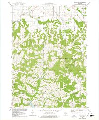
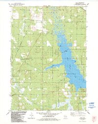
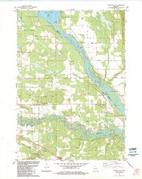
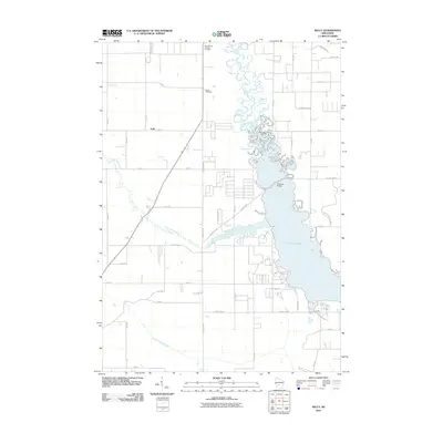
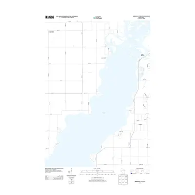
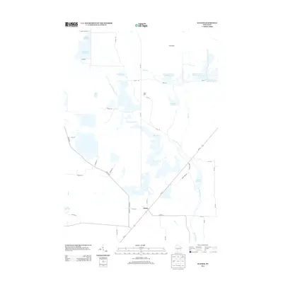
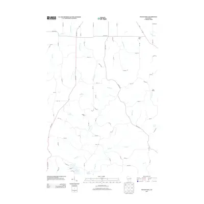
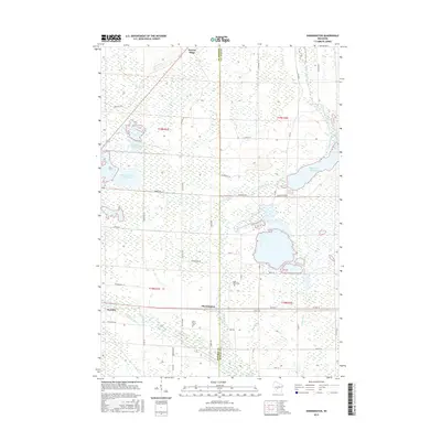
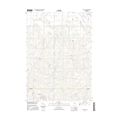
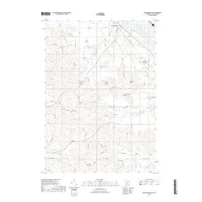
1969 Map of Arkdale NW
USGS Topo · Published 1985About this map
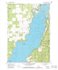
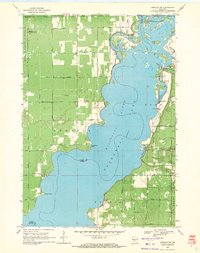
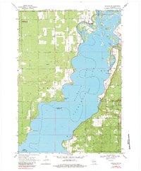
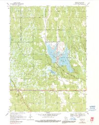
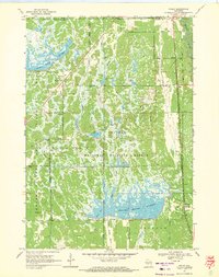
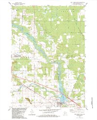
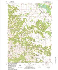
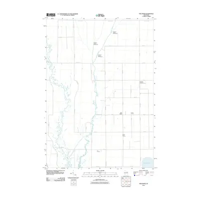
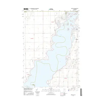
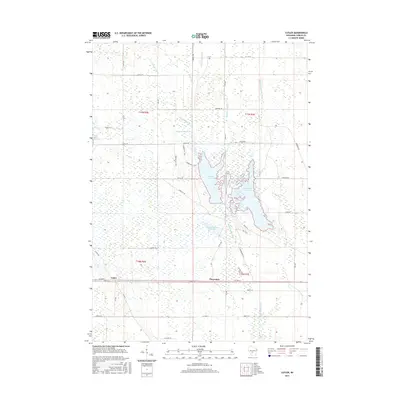
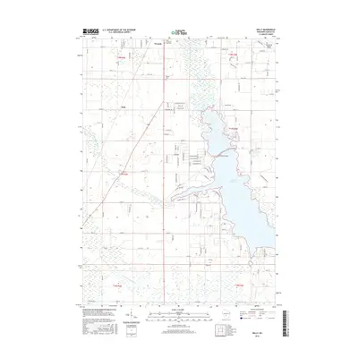
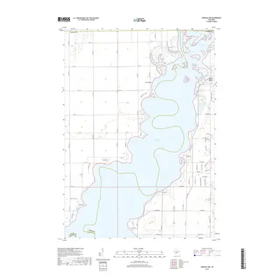
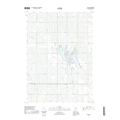
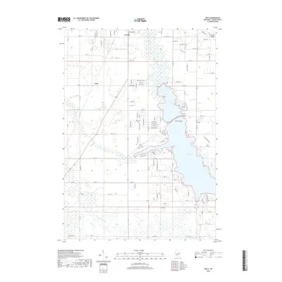
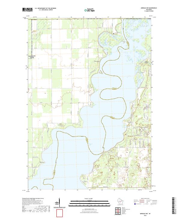
Petenwell Lake dominates this landscape, created by the damming of the Wisconsin River along the borders of Juneau and Adams Counties. The water spreads across the center of the sheet, carving out Barnum Bay and framing Long View Point. On the western shore, the vast National Guard Bombing and Gunnery Range occupies the township of Armenia, while the eastern shore shows the settlement of New Rome. Local community life is anchored by landmarks such as the Community Hall, Greenwood Cem, and the New Rome Ch. For outdoor recreation, the map documents the early footprints of Petenwell Wilderness Park and Monroe Park, alongside numerous sandpits and a quarry that reflect the area's geological utility. The high ground of Cranberry Rock features the Cranberry Rock Lookout Tower, providing a strategic vantage point over the forest and water.
Find a feature on this map
43 named features on this map. Tap any name to fly to it.
Don’t see what you’re looking for? This feature index may not catch every label — zoom into the map to look around manually.
Map Details
Editions of this 1969 Arkdale NW Map
3 editions found
Historical Maps of Big Flats Through Time
66 maps found
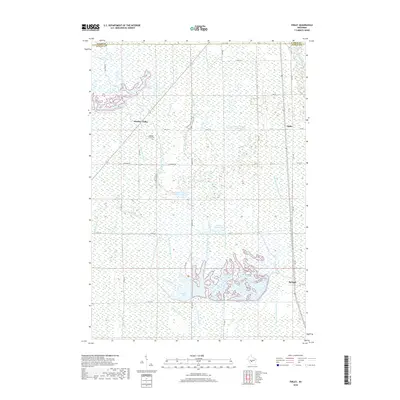
1969 Arkdale NW
Juneau County, WI
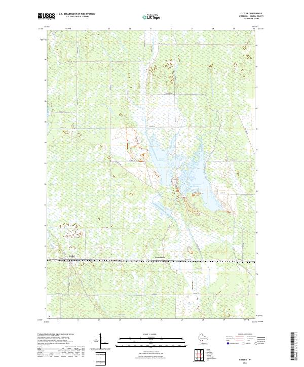
1969 Cutler
Juneau County, WI
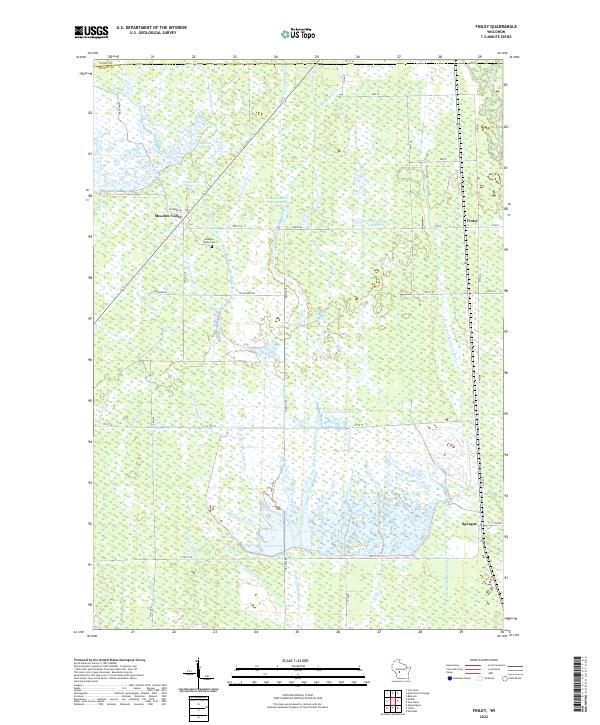
1969 Finley
Juneau County, WI
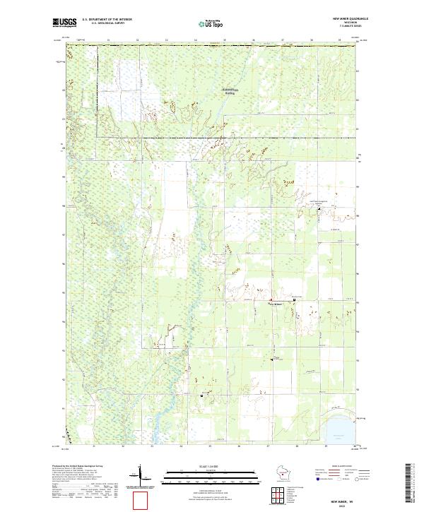
1969 New Miner
Juneau County, WI
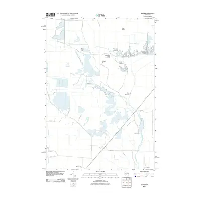
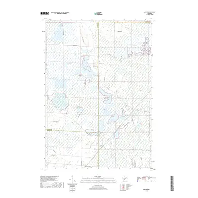
1970 Mather
Juneau County, WI
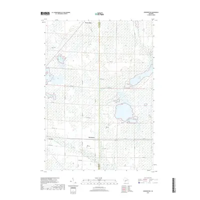
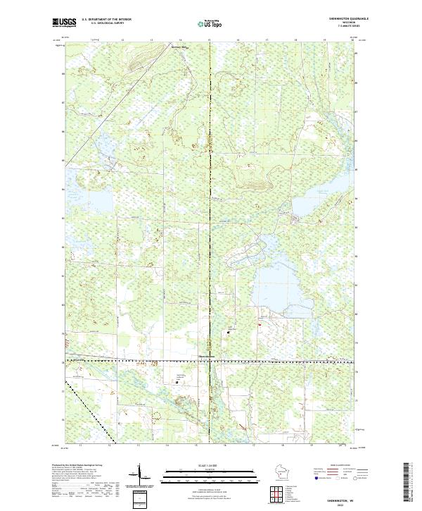
1970 Shennington
Juneau County, WI
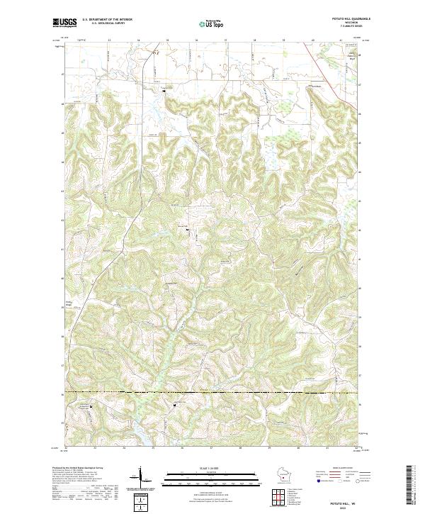
1975 Potato Hill
Juneau County, WI
1983 Kelly
Juneau County, WI
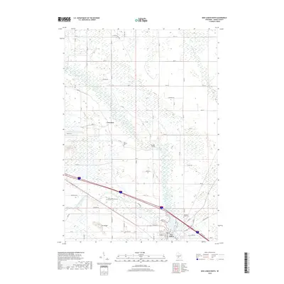
1983 New Lisbon North
Juneau County, WI
1983 New Lisbon South
Juneau County, WI
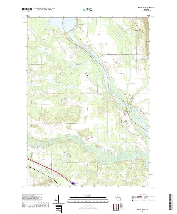
1983 Round Bluff
Juneau County, WI
2010 Arkdale NW
Juneau County, WI
2010 Cutler
Juneau County, WI
2010 Finley
Juneau County, WI
2010 Kelly
Juneau County, WI
2010 Mather
Juneau County, WI
2010 New Lisbon North
Juneau County, WI
2010 New Lisbon South
Juneau County, WI
2010 New Miner
Juneau County, WI
2010 Potato Hill
Juneau County, WI
2010 Round Bluff
Juneau County, WI
2010 Shennington
Juneau County, WI
2013 Arkdale NW
Juneau County, WI
2013 Cutler
Juneau County, WI
2013 Finley
Juneau County, WI
2013 Kelly
Juneau County, WI
2013 Mather
Juneau County, WI
2013 New Lisbon North
Juneau County, WI
2013 New Lisbon South
Juneau County, WI
2013 New Miner
Juneau County, WI
2013 Potato Hill
Juneau County, WI
2013 Round Bluff
Juneau County, WI
2013 Shennington
Juneau County, WI
2015 Arkdale NW
Juneau County, WI
2015 Cutler
Juneau County, WI
2015 Finley
Juneau County, WI
2015 Mather
Juneau County, WI
2015 New Miner
Juneau County, WI
2015 Shennington
Juneau County, WI
2016 Kelly
Juneau County, WI
2016 New Lisbon North
Juneau County, WI
2016 New Lisbon South
Juneau County, WI
2016 Potato Hill
Juneau County, WI
2016 Round Bluff
Juneau County, WI
2018 Arkdale NW
Juneau County, WI
2018 Cutler
Juneau County, WI
2018 Finley
Juneau County, WI
2018 Kelly
Juneau County, WI
2018 Mather
Juneau County, WI
2018 New Lisbon North
Juneau County, WI
2018 New Lisbon South
Juneau County, WI
2018 New Miner
Juneau County, WI
2018 Potato Hill
Juneau County, WI
2018 Round Bluff
Juneau County, WI
2018 Shennington
Juneau County, WI
2022 Arkdale NW
Juneau County, WI
2022 Cutler
Juneau County, WI
2022 Finley
Juneau County, WI
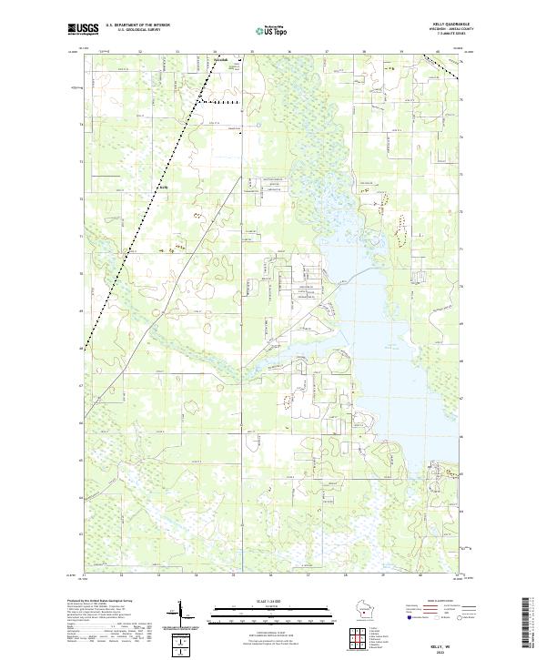
2022 Kelly
Juneau County, WI
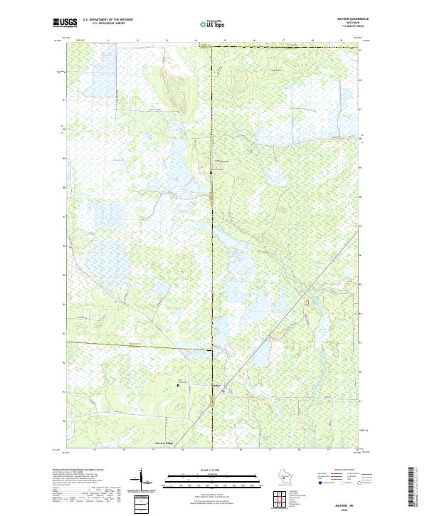
2022 Mather
Juneau County, WI
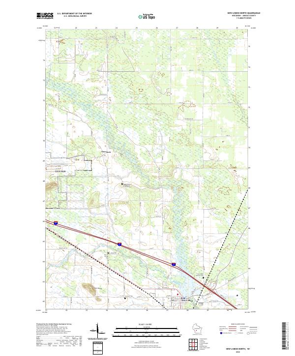
2022 New Lisbon North
Juneau County, WI
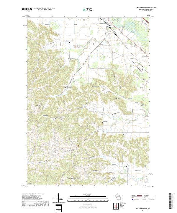
2022 New Lisbon South
Juneau County, WI
2022 New Miner
Juneau County, WI
2022 Potato Hill
Juneau County, WI
2022 Round Bluff
Juneau County, WI
2022 Shennington
Juneau County, WI