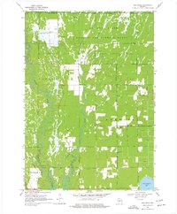
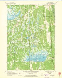
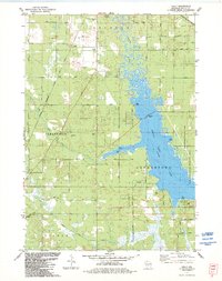
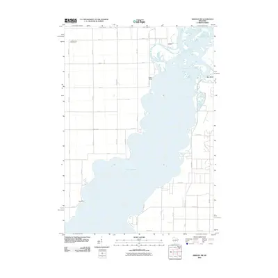
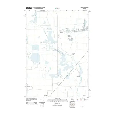
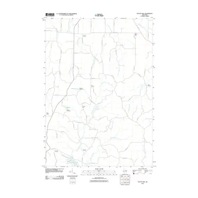
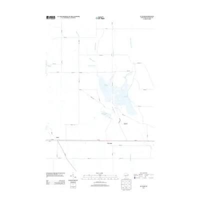
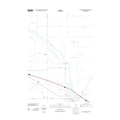
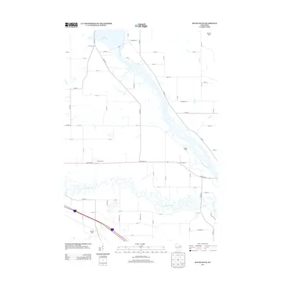
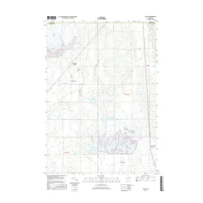
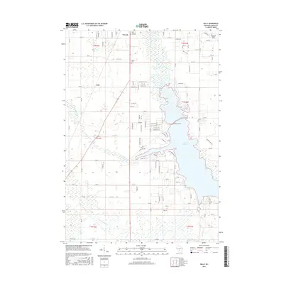
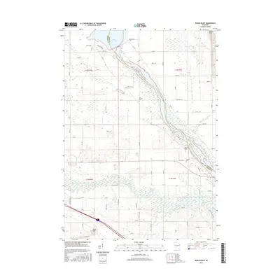
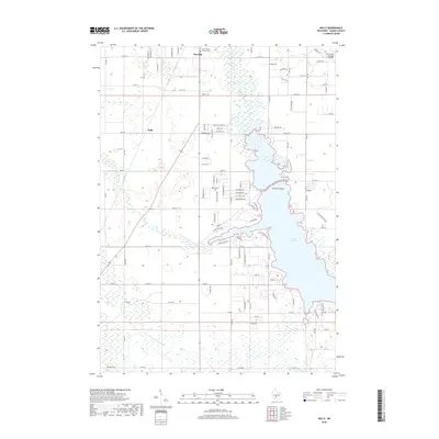
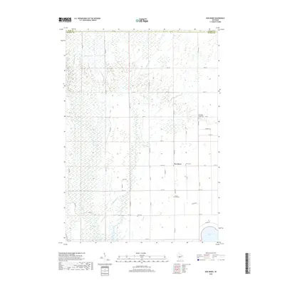
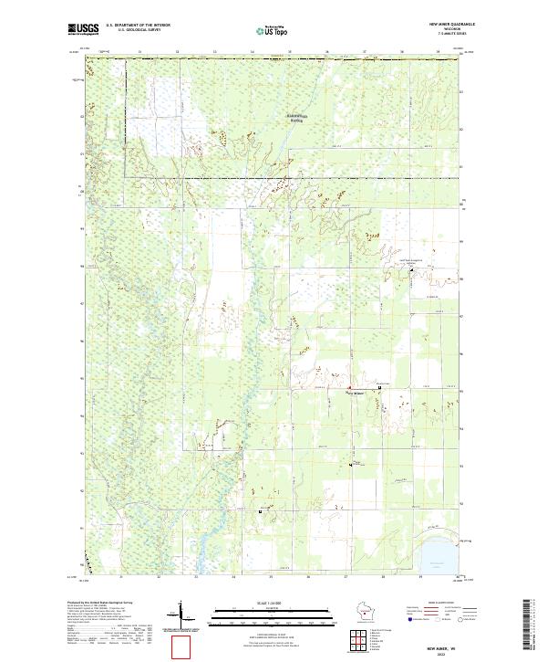
1969 Map of New Miner
USGS Topo · Published 1977About this map
The Yellow River and Cranberry Creek define the low-lying landscape of central Wisconsin in this 1969 survey. To the north, the terrain is dominated by the National Guard Bombing and Gunnery Range, while the southwestern corner transitions into the protected wetlands of the Necedah National Wildlife Refuge. The settlement of New Miner serves as a small focal point among the grid of rural roads and firebreaks, surrounded by several family and community burial grounds including Novotny Cem, Searles Prairie Cem, and the Zion Cemetery which sits near the C M St P & P rail line. Multiple Sandpit locations and several Observation Towers suggest an area managed for both resource extraction and conservation, with the eastern edge of the map touching the waters of Petenwell Lake.
Find a feature on this map
24 named features on this map. Tap any name to fly to it.
Don’t see what you’re looking for? This feature index may not catch every label — zoom into the map to look around manually.
Map Details
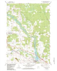
Editions of this 1969 New Miner Map
2 editions found
Historical Maps of Finley Through Time
66 maps found
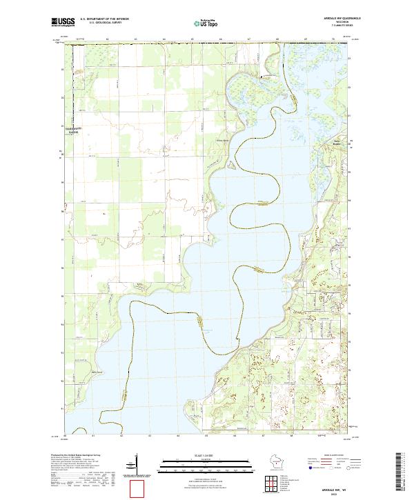
1969 Arkdale NW
Juneau County, WI
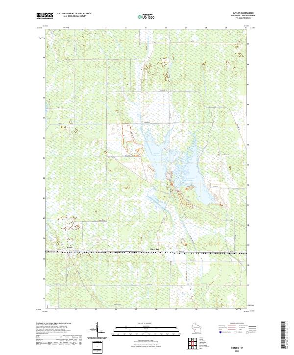
1969 Cutler
Juneau County, WI
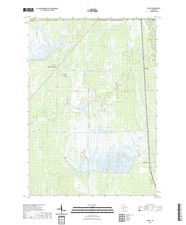
1969 Finley
Juneau County, WI
1969 New Miner
Juneau County, WI
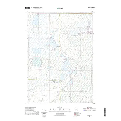
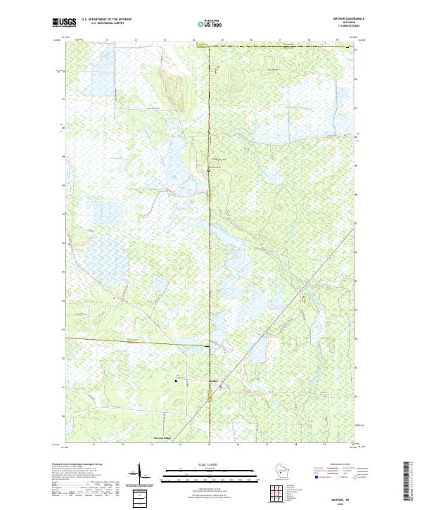
1970 Mather
Juneau County, WI
1970 Shennington
Juneau County, WI
1975 Potato Hill
Juneau County, WI
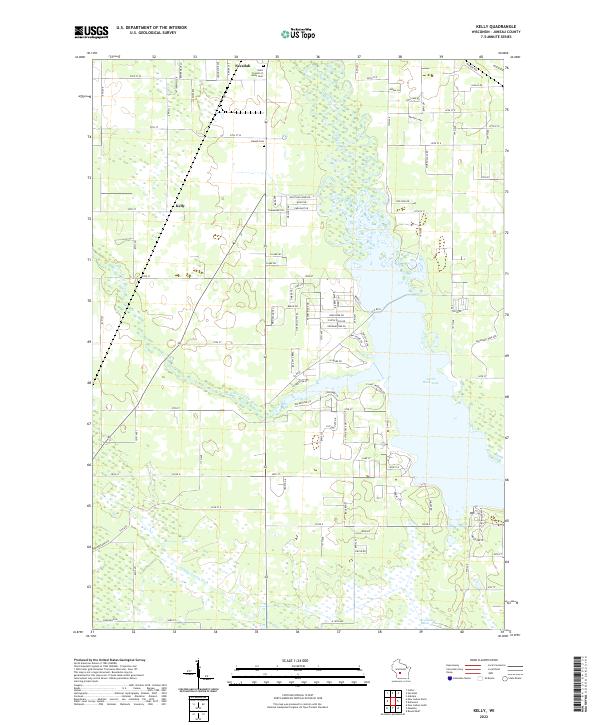
1983 Kelly
Juneau County, WI
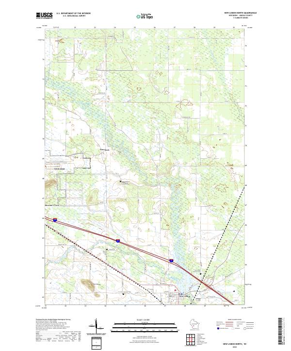
1983 New Lisbon North
Juneau County, WI
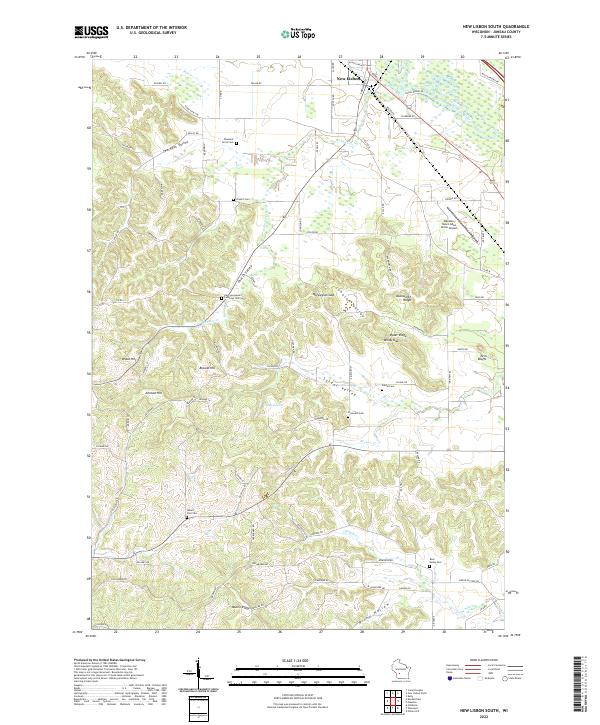
1983 New Lisbon South
Juneau County, WI
1983 Round Bluff
Juneau County, WI
2010 Arkdale NW
Juneau County, WI
2010 Cutler
Juneau County, WI
2010 Finley
Juneau County, WI
2010 Kelly
Juneau County, WI
2010 Mather
Juneau County, WI
2010 New Lisbon North
Juneau County, WI
2010 New Lisbon South
Juneau County, WI
2010 New Miner
Juneau County, WI
2010 Potato Hill
Juneau County, WI
2010 Round Bluff
Juneau County, WI
2010 Shennington
Juneau County, WI
2013 Arkdale NW
Juneau County, WI
2013 Cutler
Juneau County, WI
2013 Finley
Juneau County, WI
2013 Kelly
Juneau County, WI
2013 Mather
Juneau County, WI
2013 New Lisbon North
Juneau County, WI
2013 New Lisbon South
Juneau County, WI
2013 New Miner
Juneau County, WI
2013 Potato Hill
Juneau County, WI
2013 Round Bluff
Juneau County, WI
2013 Shennington
Juneau County, WI
2015 Arkdale NW
Juneau County, WI
2015 Cutler
Juneau County, WI
2015 Finley
Juneau County, WI
2015 Mather
Juneau County, WI
2015 New Miner
Juneau County, WI
2015 Shennington
Juneau County, WI
2016 Kelly
Juneau County, WI
2016 New Lisbon North
Juneau County, WI
2016 New Lisbon South
Juneau County, WI
2016 Potato Hill
Juneau County, WI
2016 Round Bluff
Juneau County, WI
2018 Arkdale NW
Juneau County, WI
2018 Cutler
Juneau County, WI
2018 Finley
Juneau County, WI
2018 Kelly
Juneau County, WI
2018 Mather
Juneau County, WI
2018 New Lisbon North
Juneau County, WI
2018 New Lisbon South
Juneau County, WI
2018 New Miner
Juneau County, WI
2018 Potato Hill
Juneau County, WI
2018 Round Bluff
Juneau County, WI
2018 Shennington
Juneau County, WI
2022 Arkdale NW
Juneau County, WI
2022 Cutler
Juneau County, WI
2022 Finley
Juneau County, WI
2022 Kelly
Juneau County, WI
2022 Mather
Juneau County, WI
2022 New Lisbon North
Juneau County, WI
2022 New Lisbon South
Juneau County, WI
2022 New Miner
Juneau County, WI
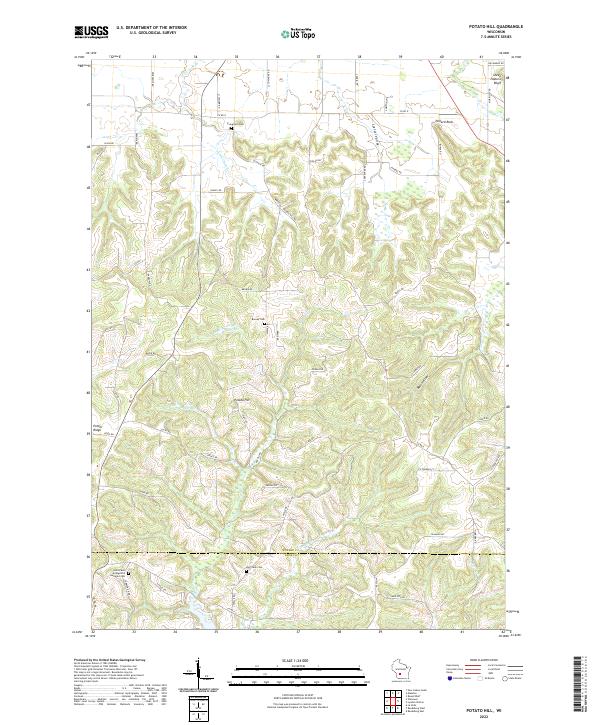
2022 Potato Hill
Juneau County, WI
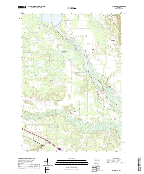
2022 Round Bluff
Juneau County, WI
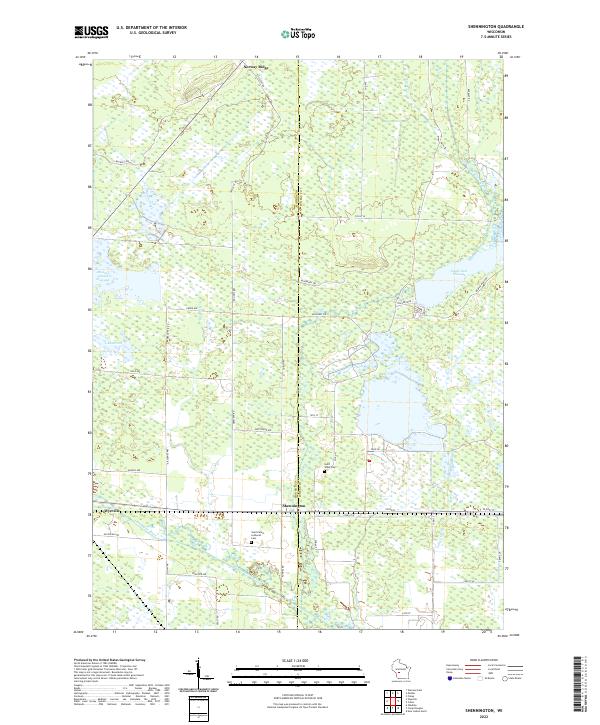
2022 Shennington
Juneau County, WI