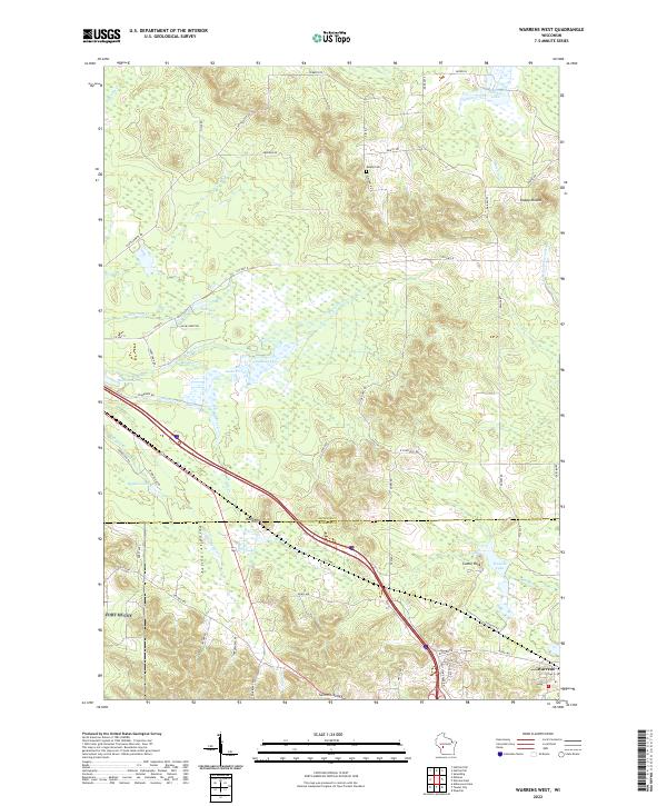
2022 Map of Warrens West
USGS Topo · Published 2022About this map
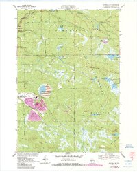
The cranberry-growing region of central Wisconsin is defined by its complex hydrology, with this area featuring a vast network of creeks and man-made impoundments. Warrens sits at the southern edge of this drainage system where Rudd Cr, Robinson Cr, and Zahrte Cr converge. These water sources feed numerous named reservoirs, including Lake 23 15 6 and Lake 27 1 6, essential to the local agricultural economy.
Find a feature on this map
66 named features on this map. Tap any name to fly to it.
Don’t see what you’re looking for? This feature index may not catch every label — zoom into the map to look around manually.
Map Details
Editions of this 2022 Warrens West Map
This is the sole edition of this map. No revisions or reprints were ever made.
Historical Maps of Jackson County Through Time
21 maps found

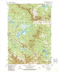
1926 North Bend
Jackson County, WI

1929 North Bend
Jackson County, WI
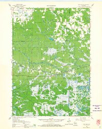
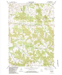
1957 City Point
Jackson County, WI
1969 North Bend NE
Jackson County, WI
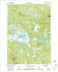
1970 Hatfield SE
Jackson County, WI
1970 Hatfield SW
Jackson County, WI
1970 Spaulding
Jackson County, WI
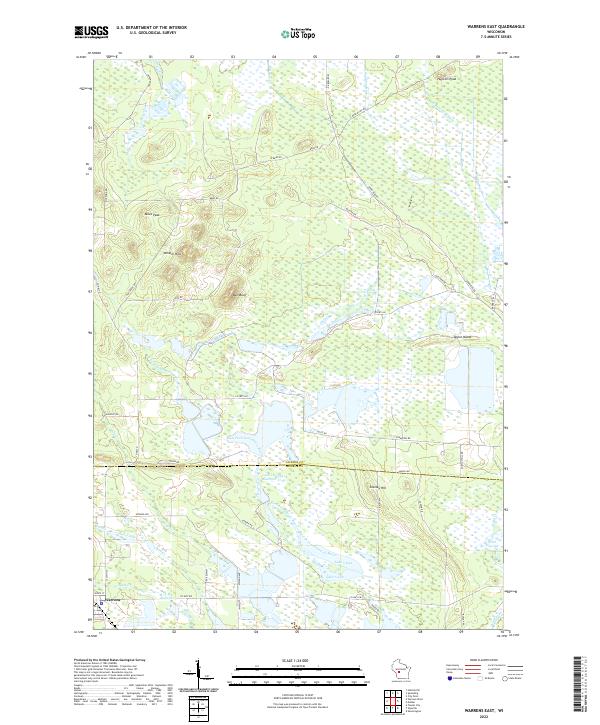
1970 Warrens East
Jackson County, WI
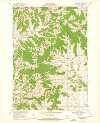
1983 Shamrock
Jackson County, WI
1983 Warrens West
Jackson County, WI
1984 Price
Jackson County, WI

1984 Stenulson Coulee
Jackson County, WI
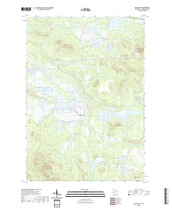
2022 Hatfield SE
Jackson County, WI
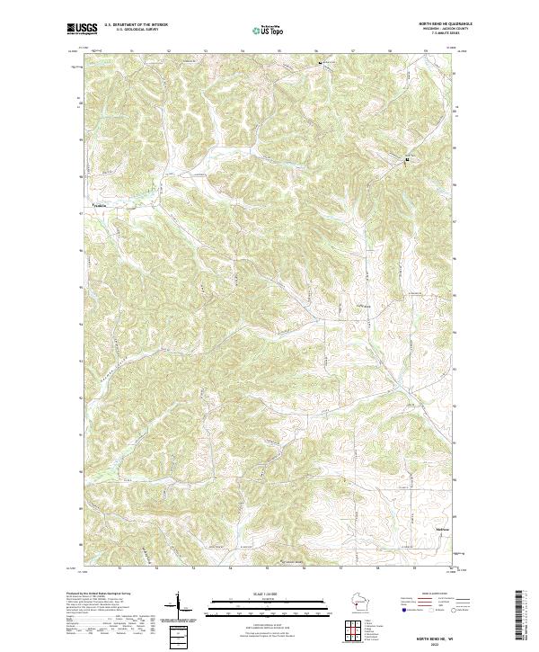
2022 North Bend NE
Jackson County, WI
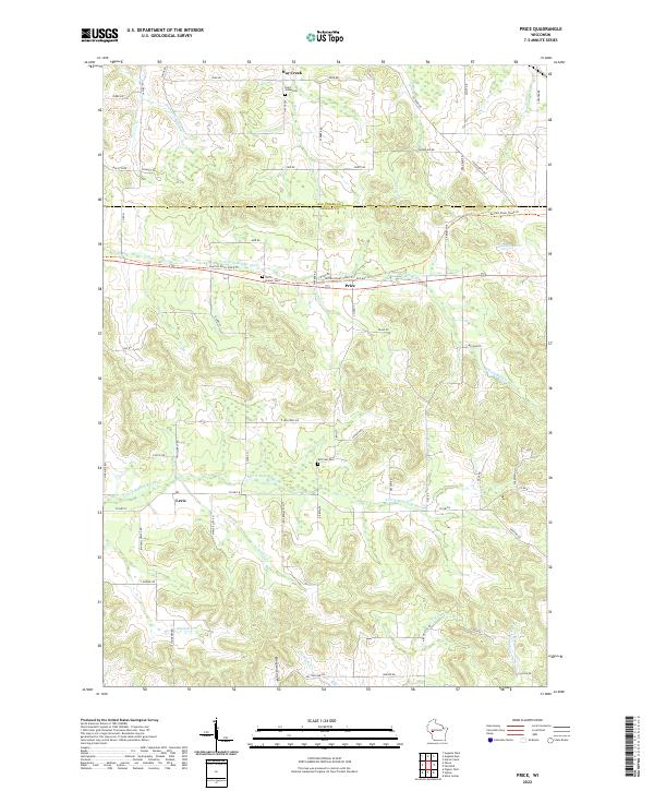
2022 Price
Jackson County, WI
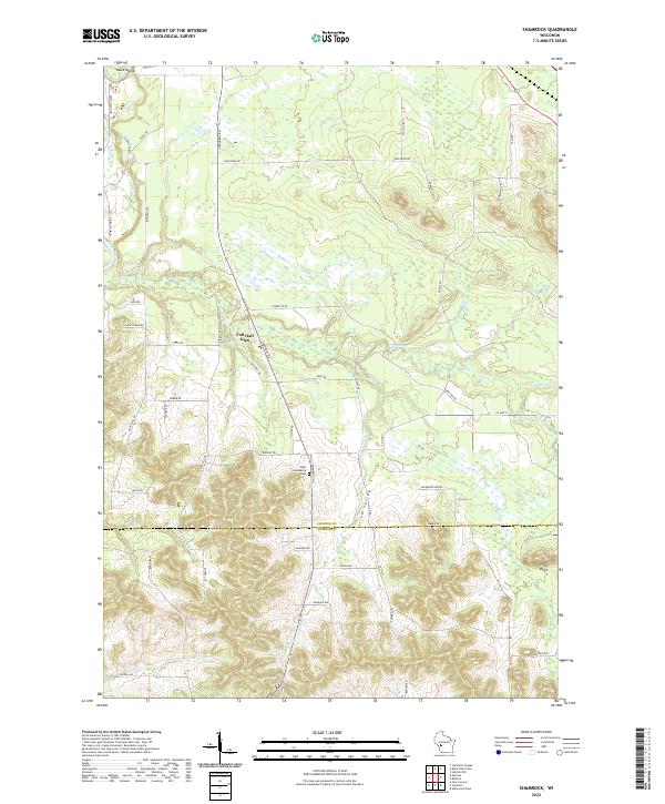
2022 Shamrock
Jackson County, WI
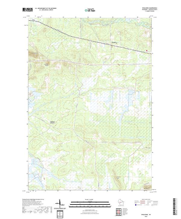
2022 Spaulding
Jackson County, WI
2022 Warrens East
Jackson County, WI
2022 Warrens West
Jackson County, WI
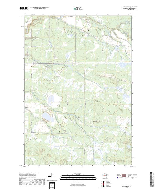
2023 Hatfield SW
Jackson County, WI
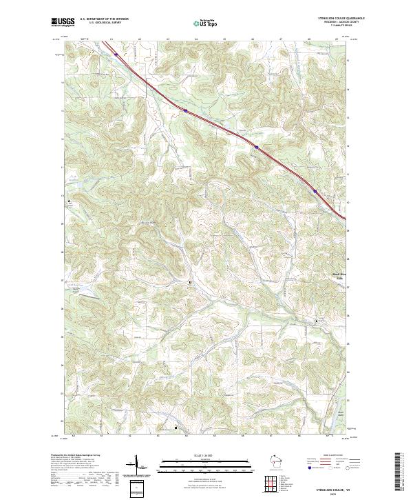
2023 Stenulson Coulee
Jackson County, WI