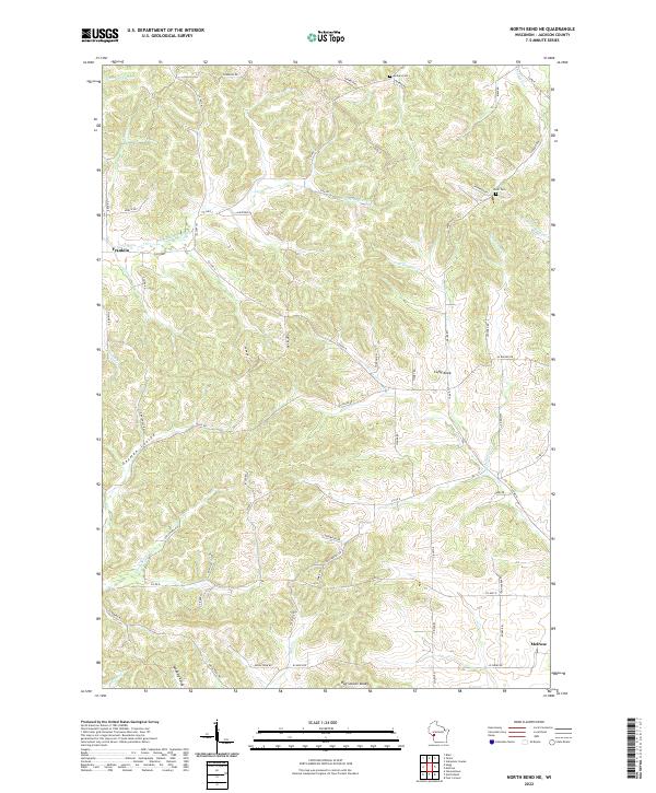
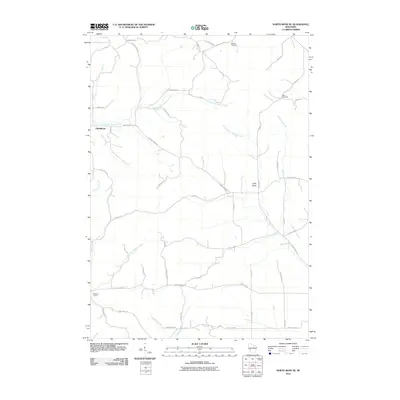
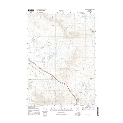
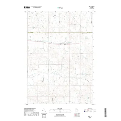
2022 Map of North Bend NE
USGS Topo · Published 2022About this map
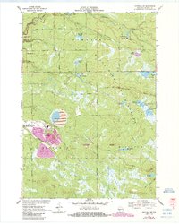
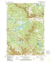
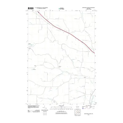
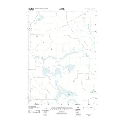
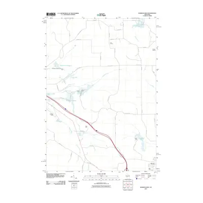
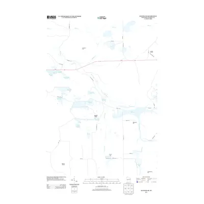
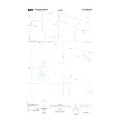
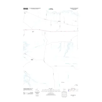
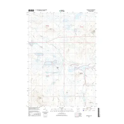
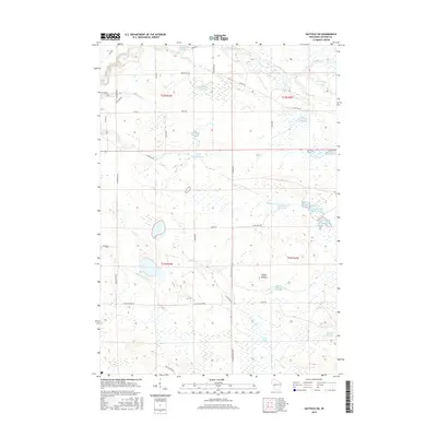
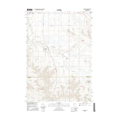
The settlement of Franklin and the northern edge of Melrose define this modern Jackson County landscape, where the terrain transitions into a complex system of ridges and narrow valleys. Steep-sided coulees such as German Coulee and Sandberg Valley cut through the topography, reflecting a drainage pattern that feeds numerous small waterways including Trump Coulee Cr and the N Fork Beaver Cr. Local history is preserved in small landmarks like Morken Cem and Olson Cem, which sit alongside a network of rural routes such as Co Hwy N and Larkin Rd. Deep in the southern portion of the sheet, the landscape broadens into Red School Valley, while Cuffy Knob stands as a prominent topographical feature amidst the tributary networks of Woodward Cr and Black Slough. The distribution of these family-named roads and coulees provides a clear view of the longstanding land-use patterns in this part of Wisconsin.
Find a feature on this map
68 named features on this map. Tap any name to fly to it.
Don’t see what you’re looking for? This feature index may not catch every label — zoom into the map to look around manually.
Map Details
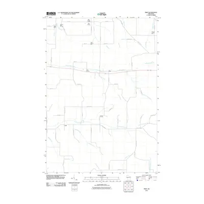
Editions of this 2022 North Bend NE Map
This is the sole edition of this map. No revisions or reprints were ever made.
Historical Maps of Irving Through Time
57 maps found

1926 North Bend
Jackson County, WI

1929 North Bend
Jackson County, WI
1957 City Point
Jackson County, WI
1969 North Bend NE
Jackson County, WI
1970 Hatfield SE
Jackson County, WI
1970 Hatfield SW
Jackson County, WI
1970 Spaulding
Jackson County, WI
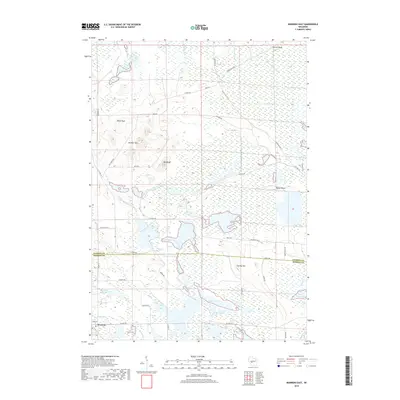
1970 Warrens East
Jackson County, WI
1983 Shamrock
Jackson County, WI
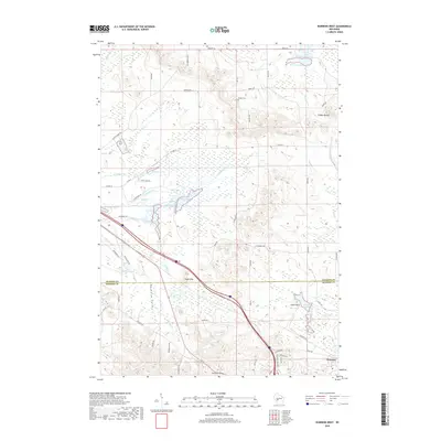
1983 Warrens West
Jackson County, WI
1984 Price
Jackson County, WI

1984 Stenulson Coulee
Jackson County, WI
2010 Hatfield SE
Jackson County, WI
2010 Hatfield SW
Jackson County, WI
2010 North Bend NE
Jackson County, WI
2010 Price
Jackson County, WI
2010 Shamrock
Jackson County, WI
2010 Spaulding
Jackson County, WI
2010 Stenulson Coulee
Jackson County, WI
2010 Warrens East
Jackson County, WI
2010 Warrens West
Jackson County, WI
2013 Hatfield SE
Jackson County, WI
2013 Hatfield SW
Jackson County, WI
2013 North Bend NE
Jackson County, WI
2013 Price
Jackson County, WI
2013 Shamrock
Jackson County, WI
2013 Spaulding
Jackson County, WI
2013 Stenulson Coulee
Jackson County, WI
2013 Warrens East
Jackson County, WI
2013 Warrens West
Jackson County, WI
2015 Hatfield SE
Jackson County, WI
2015 Hatfield SW
Jackson County, WI
2015 North Bend NE
Jackson County, WI
2015 Price
Jackson County, WI
2015 Shamrock
Jackson County, WI
2015 Spaulding
Jackson County, WI
2015 Stenulson Coulee
Jackson County, WI
2015 Warrens East
Jackson County, WI
2015 Warrens West
Jackson County, WI
2018 Hatfield SE
Jackson County, WI
2018 Hatfield SW
Jackson County, WI
2018 North Bend NE
Jackson County, WI
2018 Price
Jackson County, WI
2018 Shamrock
Jackson County, WI
2018 Spaulding
Jackson County, WI
2018 Stenulson Coulee
Jackson County, WI
2018 Warrens East
Jackson County, WI
2018 Warrens West
Jackson County, WI
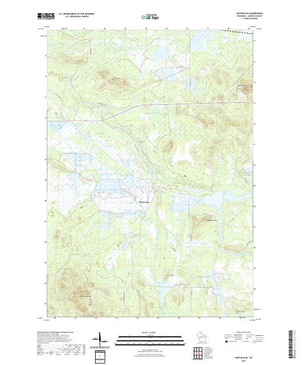
2022 Hatfield SE
Jackson County, WI
2022 North Bend NE
Jackson County, WI
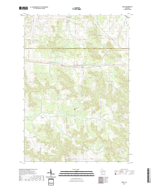
2022 Price
Jackson County, WI
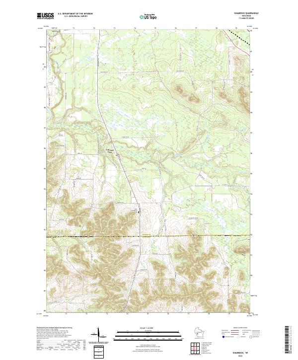
2022 Shamrock
Jackson County, WI
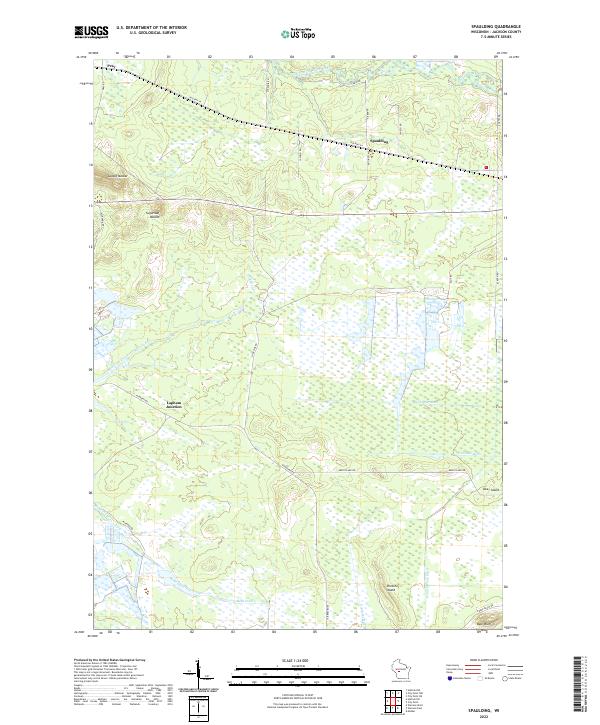
2022 Spaulding
Jackson County, WI
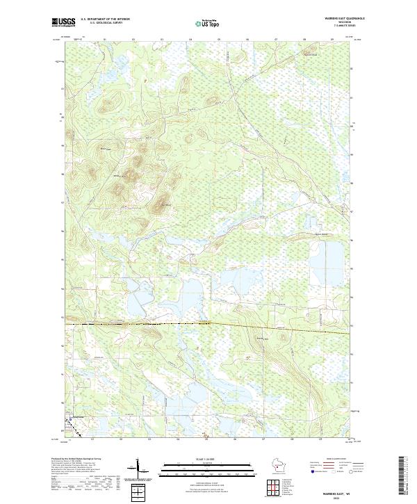
2022 Warrens East
Jackson County, WI
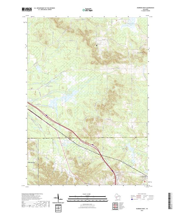
2022 Warrens West
Jackson County, WI
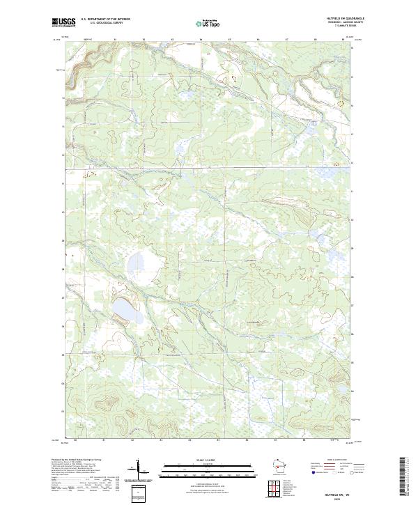
2023 Hatfield SW
Jackson County, WI
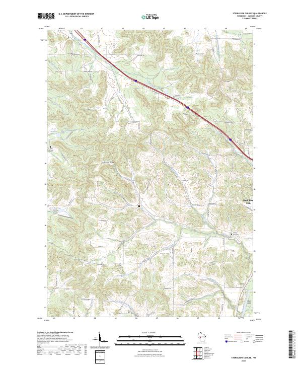
2023 Stenulson Coulee
Jackson County, WI