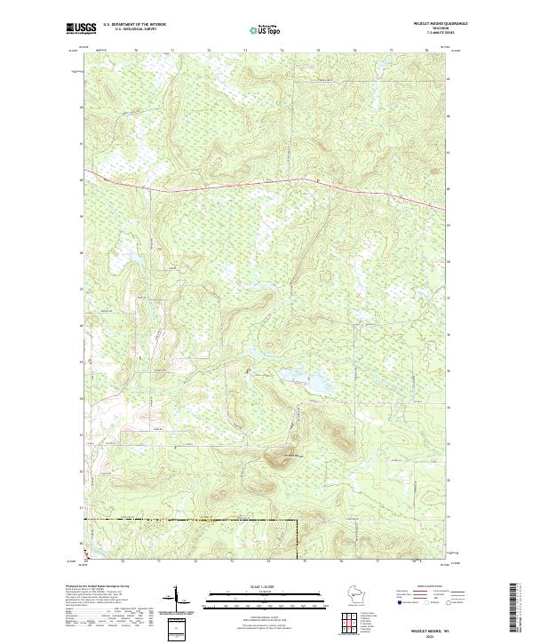
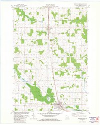
2022 Map of Wildcat Mound
USGS Topo · Published 2022About this map
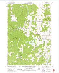
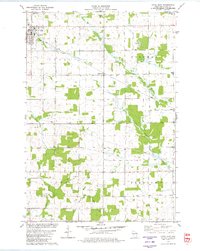
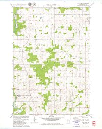
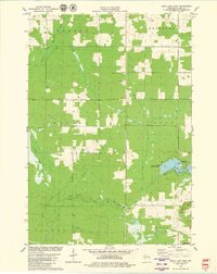
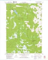
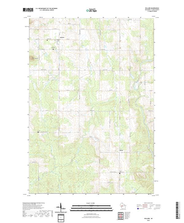
Wildcat Mound dominates the central terrain of this Wisconsin landscape, where the headwaters of several drainages emerge from the high ground of southern Clark Co. The area is defined by a dense network of country roads named for local families and landmarks, such as Hickman Rd, Van Kirk Rd, and Ambelang Rd, reflecting the rural heritage of the region. Waterways like Pony Cr and Fivemile Cr wind through the township sections, while Lake 24 6-SWR-17 provides a distinct hydrological focal point. To the south, the terrain descends toward the Jackson County line, marked by the flow of E Fork Halls Cr. The map's detail provides a record of land divisions and rural infrastructure including Town Line Rd and Co Rd B, essential for local history and genealogical research in this part of the state.
Find a feature on this map
40 named features on this map. Tap any name to fly to it.
Don’t see what you’re looking for? This feature index may not catch every label — zoom into the map to look around manually.
Map Details
Editions of this 2022 Wildcat Mound Map
This is the sole edition of this map. No revisions or reprints were ever made.
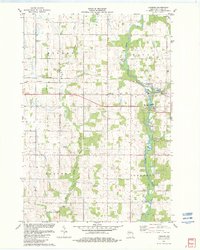
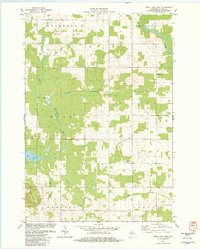
Historical Maps of Jackson County Through Time
29 maps found
1970 City Point NW
Clark County, WI
1970 Hatfield NE
Clark County, WI
1976 Stanley NE
Clark County, WI
1979 Columbia
Clark County, WI
1979 Loyal East
Clark County, WI
1979 Loyal West
Clark County, WI
1979 Mead Lake West
Clark County, WI
1979 Rock Dam Lake
Clark County, WI
1979 Spencer South
Clark County, WI
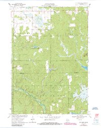
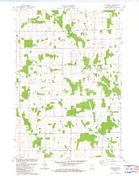
1979 Wildcat Mound
Clark County, WI
1979 Willard
Clark County, WI
1981 Riplinger
Clark County, WI
1981 Spencer North
Clark County, WI
1982 Lombard
Clark County, WI
1982 Mead Lake East
Clark County, WI
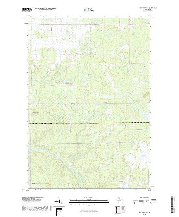
2022 City Point NW
Clark County, WI
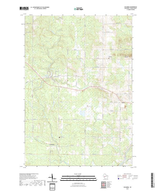
2022 Columbia
Clark County, WI
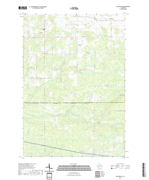
2022 Hatfield NE
Clark County, WI
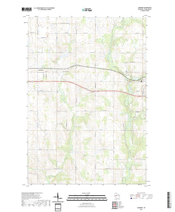
2022 Lombard
Clark County, WI
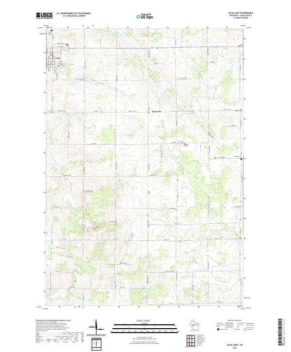
2022 Loyal East
Clark County, WI
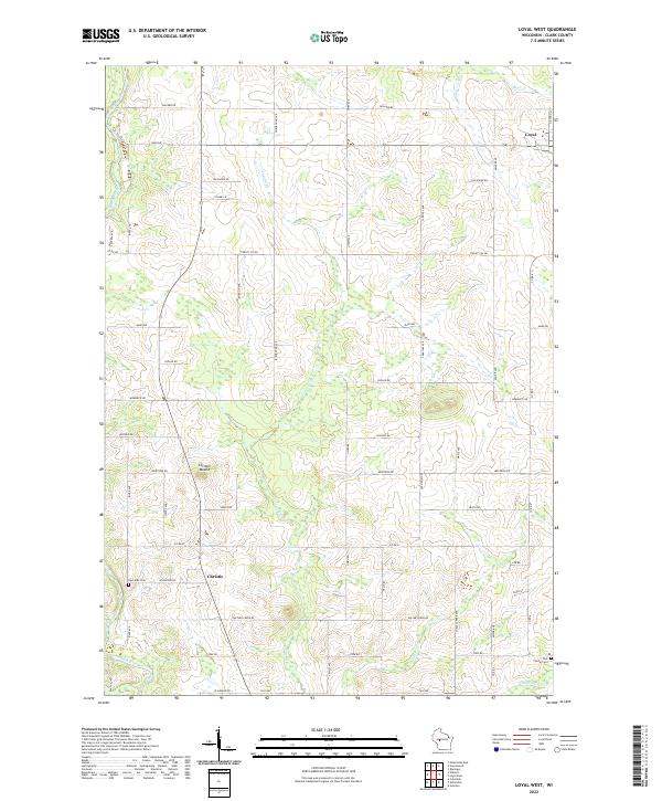
2022 Loyal West
Clark County, WI
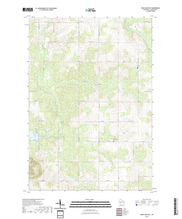
2022 Mead Lake East
Clark County, WI
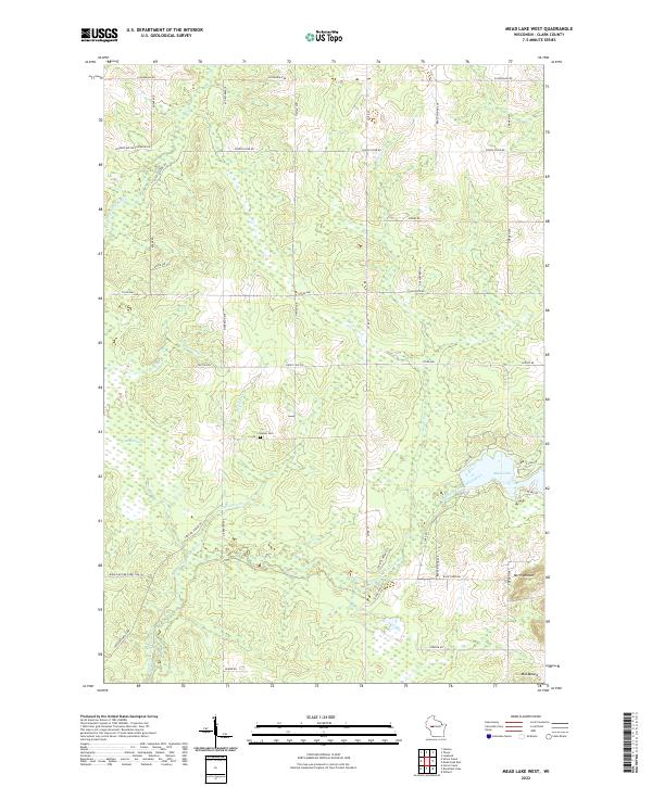
2022 Mead Lake West
Clark County, WI
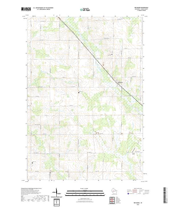
2022 Riplinger
Clark County, WI
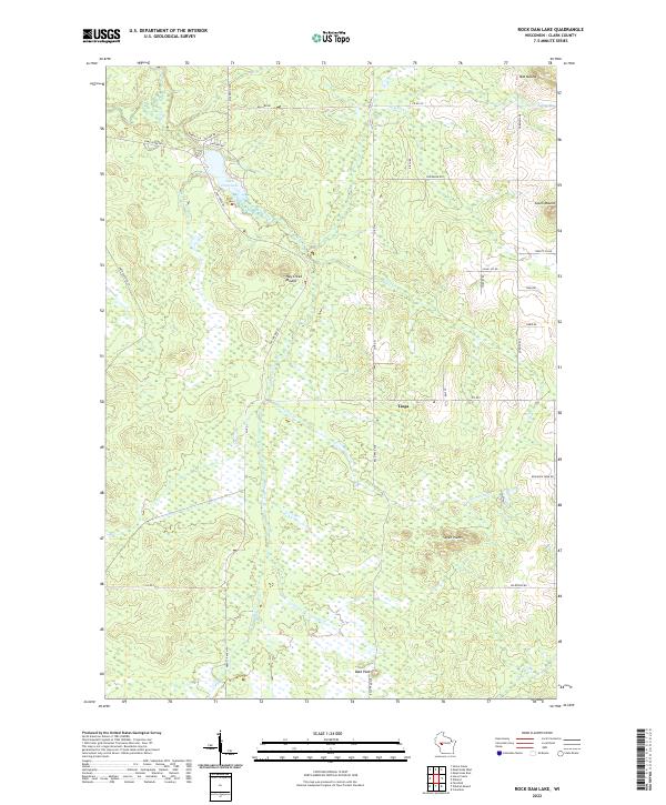
2022 Rock Dam Lake
Clark County, WI
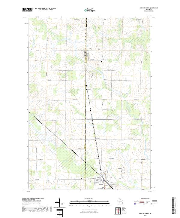
2022 Spencer North
Clark County, WI
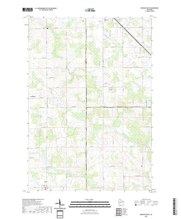
2022 Spencer South
Clark County, WI
2022 Wildcat Mound
Clark County, WI
2022 Willard
Clark County, WI