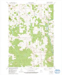
1979 Map of Willard
USGS Topo · Published 1980About this map
Willard and the surrounding township of Hendren are defined by a landscape of small agricultural clearings and woodlots in central Wisconsin. This late-1970s survey captures the area at a time when the Old Railroad Grade was already a relic of the timber era, while the community at Willard remained anchored by the Holy Family Ch and nearby Willard Cem. To the east, the Black River cuts a prominent path through Eaton and Weston townships, bordered by localized industry such as a Gravel Pit.
Find a feature on this map
23 named features on this map. Tap any name to fly to it.
Don’t see what you’re looking for? This feature index may not catch every label — zoom into the map to look around manually.
Map Details
Editions of this 1979 Willard Map
2 editions found
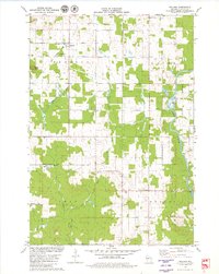
Other maps of this area

1948 · Fairchild
USGS Topo · 1:62,500

1949 · Fairchild
USGS Topo · 1:62,500

1952 · Stanley
USGS Topo · 1:62,500

1953 · Neillsville
USGS Topo · 1:62,500

1953 · Owen
USGS Topo · 1:48,000

1953 · Eau Claire
USGS Topo · 1:250,000

1958 · Eau Claire
USGS Topo · 1:250,000

1963 · Owen
USGS Topo · 1:62,500

1964 · Eau Claire
USGS Topo · 1:250,000
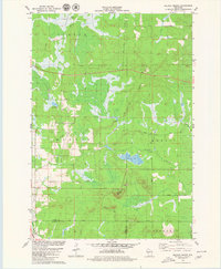
1979 · Wildcat Mound
USGS Topo · 1:24,000