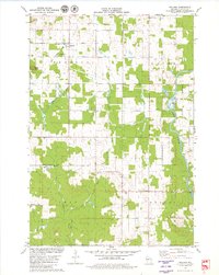
1979 Map of Willard
USGS Topo · Published 1980This historical map portrays the area of Willard in 1979, primarily covering Clark County. Featuring a scale of 1:24000, this map provides a highly detailed snapshot of the terrain, roads, buildings, counties, and historical landmarks in the Willard region at the time. Published in 1980, it is one of 2 known editions of this map due to revisions or reprints.
Map Details
Editions of this 1979 Willard Map
2 editions found
Historical Maps of Clark County Through Time
15 maps found
1970 City Point NW
Clark County, WI
1970 Hatfield NE
Clark County, WI
1976 Stanley NE
Clark County, WI
1979 Columbia
Clark County, WI
1979 Loyal East
Clark County, WI
1979 Loyal West
Clark County, WI
1979 Mead Lake West
Clark County, WI
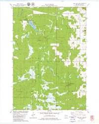
1979 Rock Dam Lake
Clark County, WI
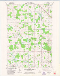
1979 Spencer South
Clark County, WI
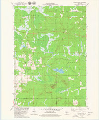
1979 Wildcat Mound
Clark County, WI
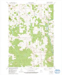
1979 Willard
Clark County, WI
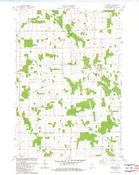
1981 Riplinger
Clark County, WI
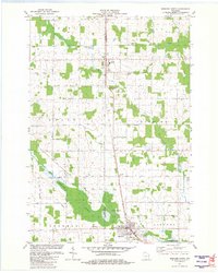
1981 Spencer North
Clark County, WI
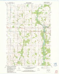
1982 Lombard
Clark County, WI
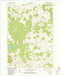
1982 Mead Lake East
Clark County, WI