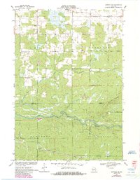
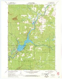
1970 Map of Hatfield NE
USGS Topo · Published 1985About this map
The East Fork Black River carves a winding path through the borderlands of Clark and Jackson Counties, anchoring a landscape shaped by early Wisconsin transportation and small rural settlements. In the northern reaches of the quadrangle, the community of Shortville serves as a local focal point near the Levis Cem, while the southern corridor is defined by the east-west route of the Green Bay and Western railroad passing through Waterbury. This 1970s era documentation, updated in the mid-1980s, reveals a territory characterized by significant topographic features like Brushy Ridge and the broad marshes of Komensky. The transition from old thoroughfares like Old Highway 54 to the modernized Brushy Ridge Road illustrates the gradual evolution of the local infrastructure in this part of the Central Plain.
Find a feature on this map
16 named features on this map. Tap any name to fly to it.
Don’t see what you’re looking for? This feature index may not catch every label — zoom into the map to look around manually.
Map Details
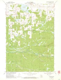
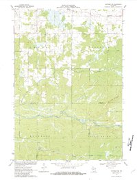
Editions of this 1970 Hatfield NE Map
3 editions found
Other maps of this area

1953 · Neillsville
USGS Topo · 1:62,500

1953 · Eau Claire
USGS Topo · 1:250,000

1954 · Granton
USGS Topo · 1:62,500

1957 · City Point
USGS Topo · 1:48,000

1958 · Eau Claire
USGS Topo · 1:250,000

1958 · Hatfield
USGS Topo · 1:48,000

1964 · Eau Claire
USGS Topo · 1:250,000
1970 · Hatfield SW
USGS Topo · 1:24,000

1970 · Spaulding
USGS Topo · 1:24,000
1970 · Hatfield
USGS Topo · 1:24,000