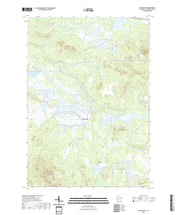
2022 Map of Hatfield SE
USGS Topo · Published 2022About this map
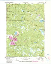
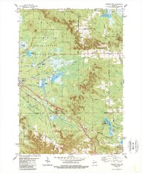
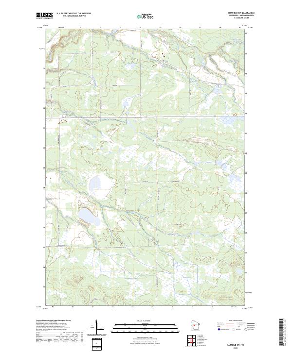
Speck Oaks lies at the heart of a complex network of wetlands and artificial impoundments in Jackson County. This 2022 survey reveals a landscape dominated by managed waterways, including Little Thunder Flowage, Partridge Crop Flowage, and Black Duck Flowage. These features indicate a terrain heavily modified for water control and wildlife habitat, punctuated by several prominent landforms such as Wildcat Mound and the Crawford Hills.
Find a feature on this map
52 named features on this map. Tap any name to fly to it.
Don’t see what you’re looking for? This feature index may not catch every label — zoom into the map to look around manually.
Map Details
Editions of this 2022 Hatfield SE Map
This is the sole edition of this map. No revisions or reprints were ever made.
Historical Maps of Jackson County Through Time
21 maps found

1926 North Bend
Jackson County, WI

1929 North Bend
Jackson County, WI
1957 City Point
Jackson County, WI
1969 North Bend NE
Jackson County, WI
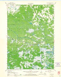
1970 Hatfield SE
Jackson County, WI
1970 Hatfield SW
Jackson County, WI
1970 Spaulding
Jackson County, WI
1970 Warrens East
Jackson County, WI
1983 Shamrock
Jackson County, WI
1983 Warrens West
Jackson County, WI
1984 Price
Jackson County, WI

1984 Stenulson Coulee
Jackson County, WI
2022 Hatfield SE
Jackson County, WI
2022 North Bend NE
Jackson County, WI
2022 Price
Jackson County, WI
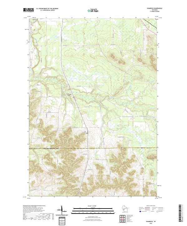
2022 Shamrock
Jackson County, WI
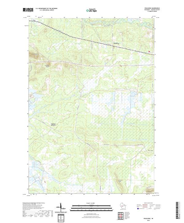
2022 Spaulding
Jackson County, WI
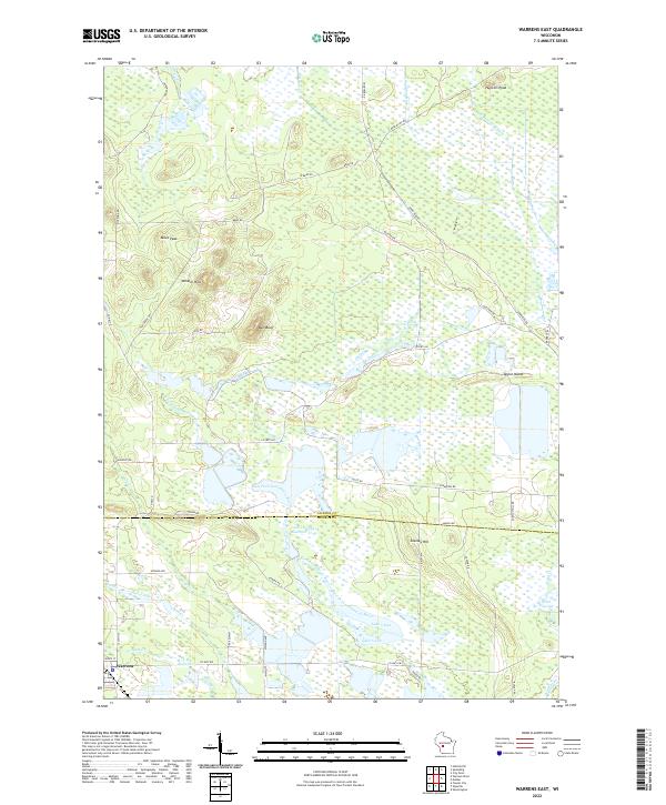
2022 Warrens East
Jackson County, WI
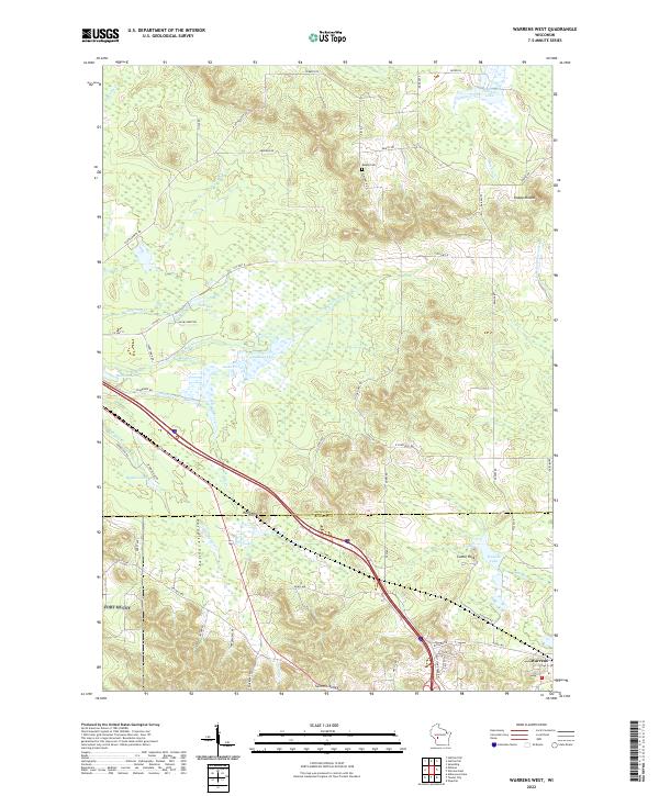
2022 Warrens West
Jackson County, WI
2023 Hatfield SW
Jackson County, WI
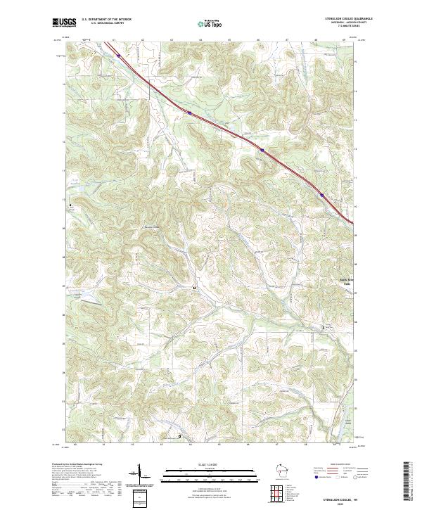
2023 Stenulson Coulee
Jackson County, WI