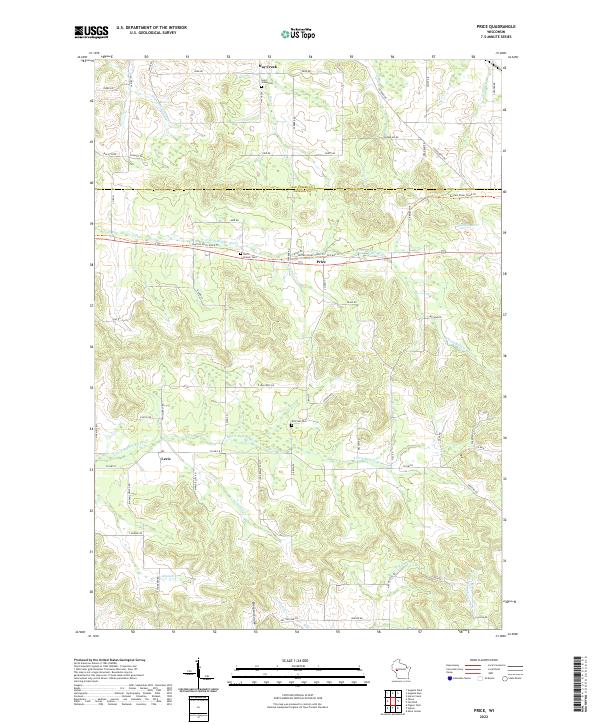
2022 Map of Price
USGS Topo · Published 2022About this map
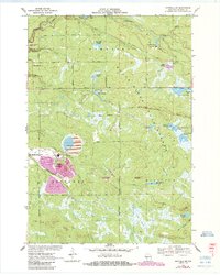
Price and Levis serve as central points in this portion of Jackson County, where the landscape is defined by the headwaters and branches of several significant waterways. The N Fork Buffalo River and S Fork Buffalo River meander through the central township, while the N Br Trempealeau River emerges in the southeastern corner. This area shows a transition from agricultural valley floors to the rising terrain of Ellingson Coulee. Local heritage is anchored by several rural burial sites, including Saint Johns Cem and North Branch Cem, which are situated near established roads like Old HWY 10. The presence of the Buffalo River State Trl following the river corridor indicates the repurposing of former transportation routes for modern use, while rural features like Schoolhouse Cr suggest the historical locations of early community centers.
Find a feature on this map
75 named features on this map. Tap any name to fly to it.
Don’t see what you’re looking for? This feature index may not catch every label — zoom into the map to look around manually.
Map Details
Editions of this 2022 Price Map
This is the sole edition of this map. No revisions or reprints were ever made.
Historical Maps of Jackson County Through Time
21 maps found

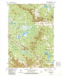
1926 North Bend
Jackson County, WI

1929 North Bend
Jackson County, WI
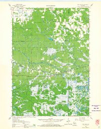
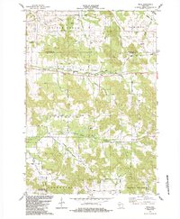
1957 City Point
Jackson County, WI
1969 North Bend NE
Jackson County, WI
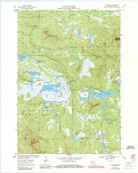
1970 Hatfield SE
Jackson County, WI
1970 Hatfield SW
Jackson County, WI
1970 Spaulding
Jackson County, WI
1970 Warrens East
Jackson County, WI
1983 Shamrock
Jackson County, WI
1983 Warrens West
Jackson County, WI
1984 Price
Jackson County, WI

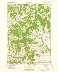
1984 Stenulson Coulee
Jackson County, WI
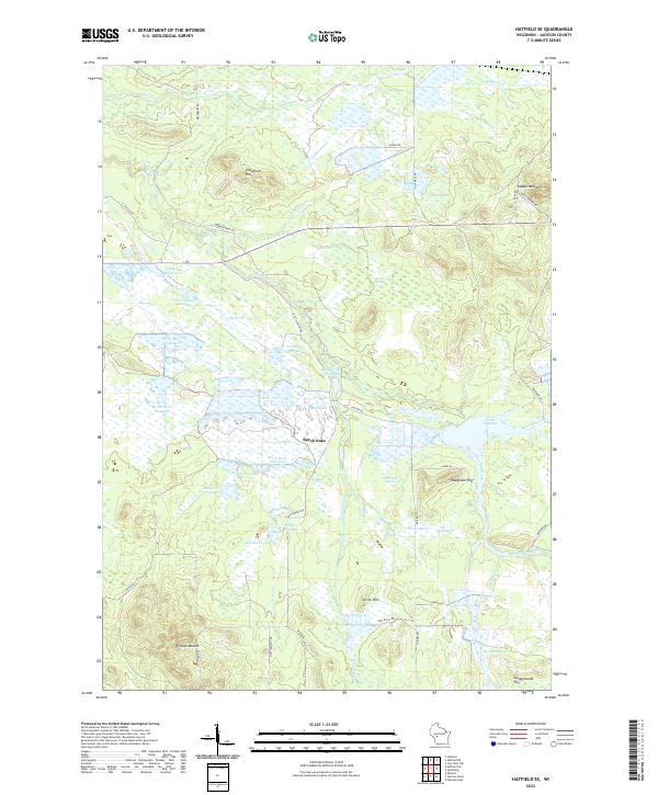
2022 Hatfield SE
Jackson County, WI
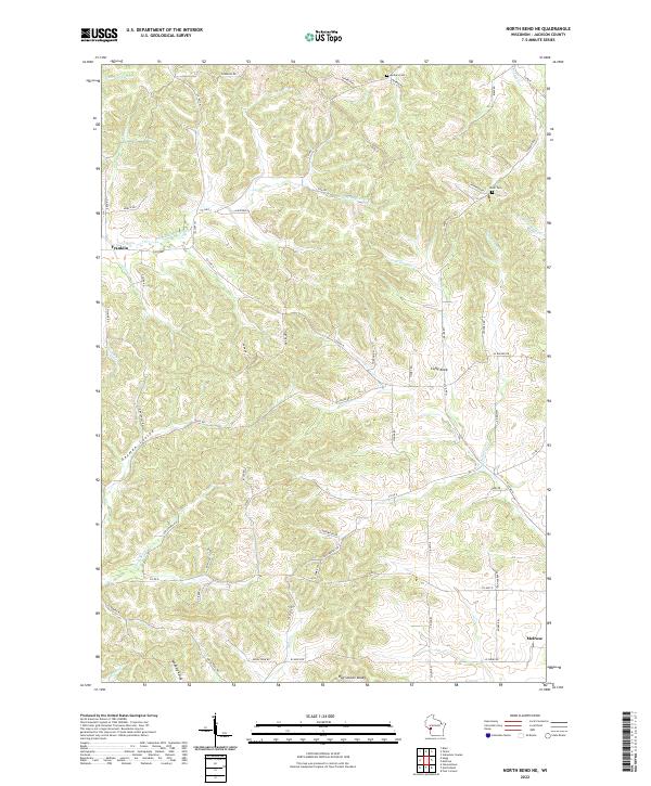
2022 North Bend NE
Jackson County, WI
2022 Price
Jackson County, WI
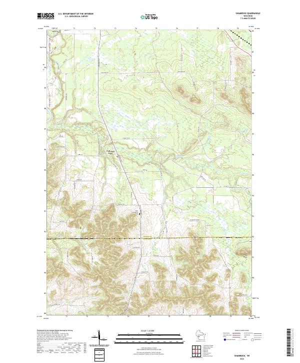
2022 Shamrock
Jackson County, WI
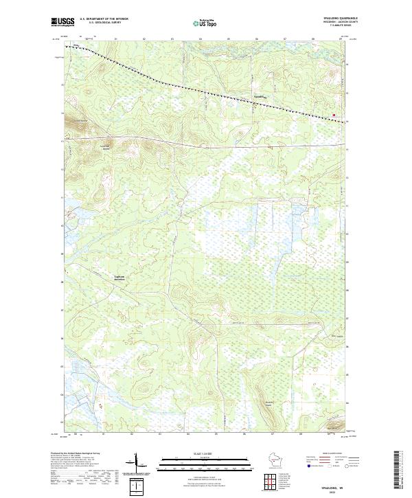
2022 Spaulding
Jackson County, WI
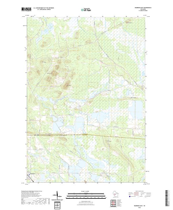
2022 Warrens East
Jackson County, WI
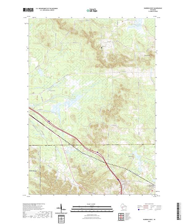
2022 Warrens West
Jackson County, WI
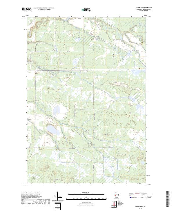
2023 Hatfield SW
Jackson County, WI
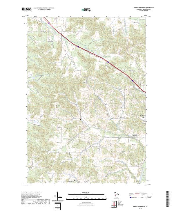
2023 Stenulson Coulee
Jackson County, WI